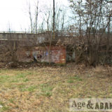
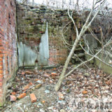
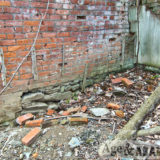
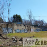
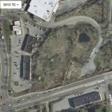
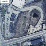
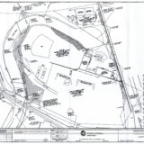
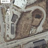
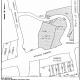
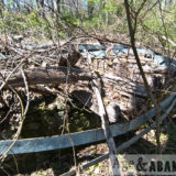
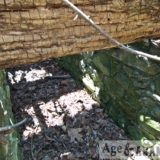
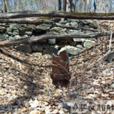
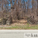
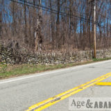
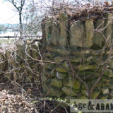
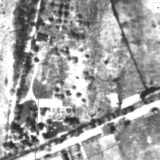
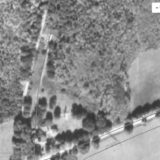
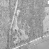
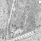
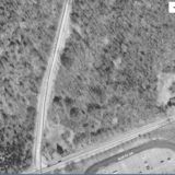
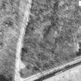
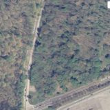
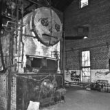
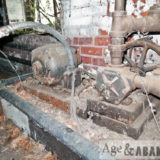
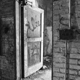
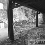
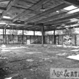
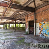
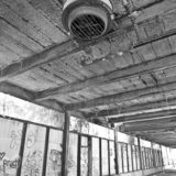
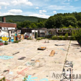
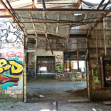
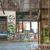
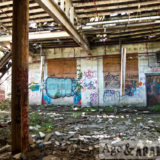
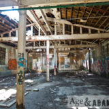
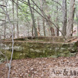
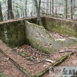
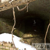
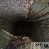
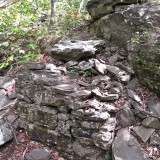
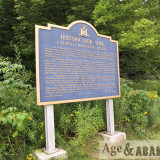
This 4.50-acre site is currently identified as tax parcel Section 6261, Block 01, Lot 187898 on both sides (east and west) of Love Road in Poughkeepsie, NY. The site is bounded on the south by US Route 44 (Dutchess Turnpike), the abandoned railroad (now a rail trail) to the east, and commercial properties to the north and west. The site is currently identified as 20-50 Love Road, but in older documentation (circa 2005) it was referred to as 2 Love Road and was divided into three tax parcels (lots 173893, 188903, and 205886 – from west to east). Even earlier, the lots were known as 83-85 Dutchess Tpke (lot 173893), 87-91 Dutchess Tpke (lot 188903), 93, 95, and 97 Dutchess Tpke.
The property was formerly occupied by a gasoline service station, a petroleum bulk storage facility, and a lumber/building supply yard – not necessarily in that order. This area of Route 44 is known as Brickyard Hill.
The results of more detailed research can be found below:
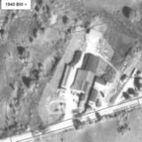
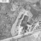
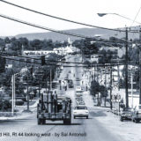
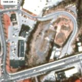
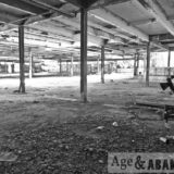
The property card for 83 Dutchess Tpke lists the presence of a lumber yard in 1929. A 1936 map shows E.R. Davis as a property owner of the area, possibly the westernmost portion of the three lots. The 1938 city directory indicates Everett R. Davis (lumber and building supplies) occupied the property at that time and that was the occupant until 1972 (at 85 Dutchess Turnpike). A photograph taken in the 1970s of Brickyard Hill shows a sign on the property, along Route 44, advertises “Davis Lumber”. From 1973 to 1977, city directories list this address as occupied by Jim Waters Corp (building materials). The company “44 Lumber” was present on the site circa 1991. A large warehouse with an attached office/residence, along with a 3-sided open shed (possibly constructed in 1975), were present in what appears to be the lumberyard section of the property.
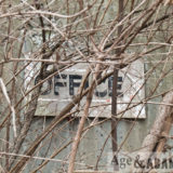
1929 and 1930 maps identify the property as owned by Paramount Oil Company and contained a filling station building and a gas pump island. According to a city directory, Cornelius H. Otto owned a gas station at the property in 1941 along with Dutchess Oil Corp. The center of the site (93 Dutchess Tpke) was owned and operated by E. A. Urlich (or Aldrich) from the 1940s through the late 1950s as a gas station. When Route 44 was widened and elevated around 1978, 10-15 feet of the southern portion of the property was purchased through eminent domain by the State which required the gas station to be closed. Love/Effron Oil purchased the property around 1975 and operated a petroleum bulk oil storage facility on the lot until the late 1980s. The gas station building was converted to use as an office.
According to a city directory, Dutchess Oil Corp occupied the property from 1938 to 1955 (95 Dutchess Tpke). City directories from 1958 to 1977 list the operator as Love Oil Corp and also Texaco Fuel Oil from 1972 to 1977. The property card listed Frances R. Finnerman as the owner in 1969 and then purchased by Love Oil Corp. in 1975, and a railtrail easement taken in 2008. From 1979 to 1982, Love Oil Corp and Texaco Fuel Oil are listed as being at 2 Love Road, which is when the road was constructed and addresses were reorganized. The address is vacant in the 1985 directory and then listed as occupied by Advanced Heating & Cooling from 1988 to 1992 (when the city directories end).
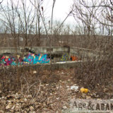
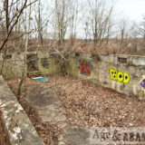
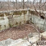
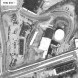
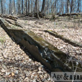
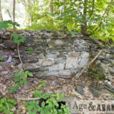
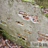
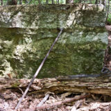
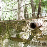
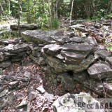
Very large oil tanks were located on the site, along with several buildings. One of the large tanks was located in a diked storage area to the north of a foundation of a building that was likely used as a garage and/or loading facility. Three tanks were located on a concrete pad along the fence in the central portion of the property, near what is believed to be a former truck loading facility. Two other tanks were located on cradles between the former garage and fenced area. 83-85 Dutchess Tpke (lot 173893) contained five oil tanks: two 25,000-gal and three 18,000-gal; these tanks were removed in 1990. 87-91 Dutchess Tpke contained a 2,530,000-gallon oil tank (100’ in diameter and 40’ in height); this tank was removed in 1989.
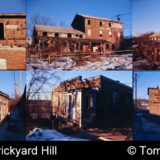
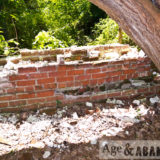
The easternmost lot (formerly lot 205886) was identified in a 1929 and 1930 map as owned by Fred Cleavaland of 12 Garfield Place, Poughkeepsie and had at least one building near the intersection of Dutchess Tpke (Route 44) and the railroad. According to a city directory, Arlington Mill was at the property in 1938 and 1941, and the lot was vacant from 1943 until 1950. (Photographs from 2004 by Tom Rinaldi show the building on the easternmost lot with its siding removed and an old sign for Arlington Mill uncovered, still painted on the old wood siding.) Starting in 1950, the city directories list Adirondack Bottled Gas Corp as the occupant of the lot (97 Dutchess Tpke) until 1977. After 1977, Adirondack Bottled Gas Corp is listed as being at 1 Love Road, which is when the road was constructed and addresses were reorganized. Adirondack Bottled Gas Corp is listed at 1 Love Road until 1980, and then the address becomes vacant until 1988. In 1988, Forty-Four Lumber is listed at the address. The next sequential city directory, from 1992, lists the address as vacant.
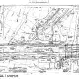
The property along Route 44 was mapped in a 1977 NYSDOT contract plan sheet showing numerous buildings and tanks of various sizes. The properties were identified as being owned by Love Oil Corporation, Edwin A. Ulrich, and Poughkeepsie Gas Company – from east to west.
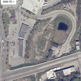
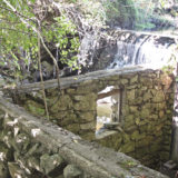
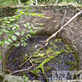
A 0.1-acre pond was located in the center of the property, north of a building foundation, which may have been part of a storm water retention system.
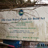
The site was completely abandoned in the 1990s. In 1993, 83-85 Dutchess Tpke (lot 173893) was owned by Robert Reed and he applied for a permit to demolish 44 Lumber at 1 Love Road/83 Dutchess Tpke. During the demolition, “an unexpected amount of debris was found buried on the site”. Multiple demolition permits were pulled for the property in 2004. Also in 2004 the site was entered into the Brownfield Cleanup Program and remediation efforts were completed in 2017.
Sources of information:
1929 NYSDOT Record Plan – PSC 5203
1930 NYSDOT Record Plan – RC 1953A
1936 Dolph-Stewart Street, Road and Property Ownership: Map of Dutchess County New York
1977 NYSDOT Record Plan – D95633
1970s photograph by Sal Antonelli
July 2006 Site Characterization and Remedial Investigation Summary Report
July 2012 Alternatives Analysis and Remedial Work Plan
November 2017 Final Engineering and Construction Completion Report
Poughkeepsie City Directories – 1938-1992
Tom Rinaldi
Town of Poughkeepsie Property Card and Building Department records for Lot 187898 (accessed December 2018)
Location:
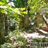
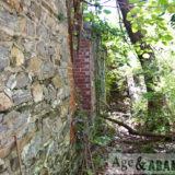
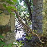
Concrete building- Google Maps (41.697698, -73.886719)
Brick building- Google Maps (41.697788, -73.885823)


