Hughsonville Commercial Buildings, Wappinger, NY

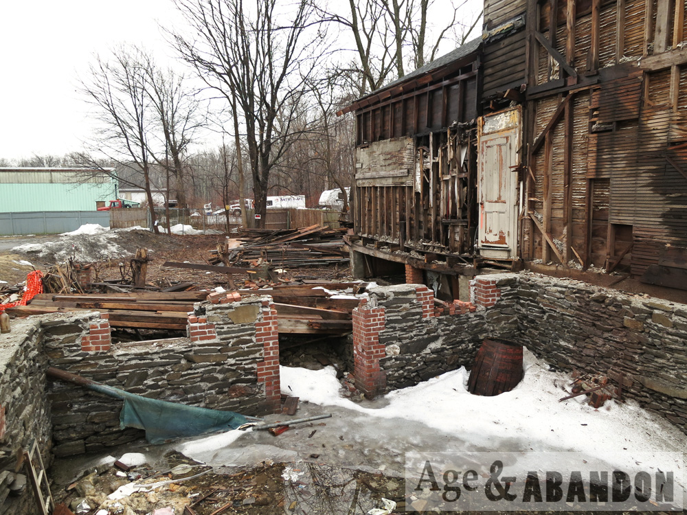
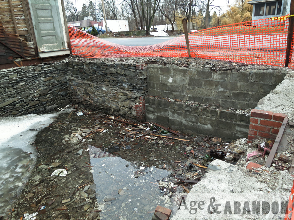
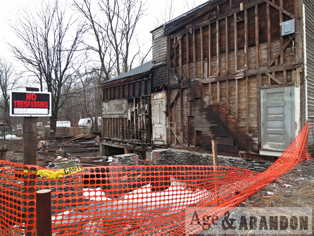
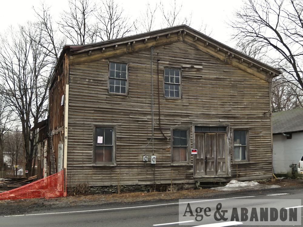
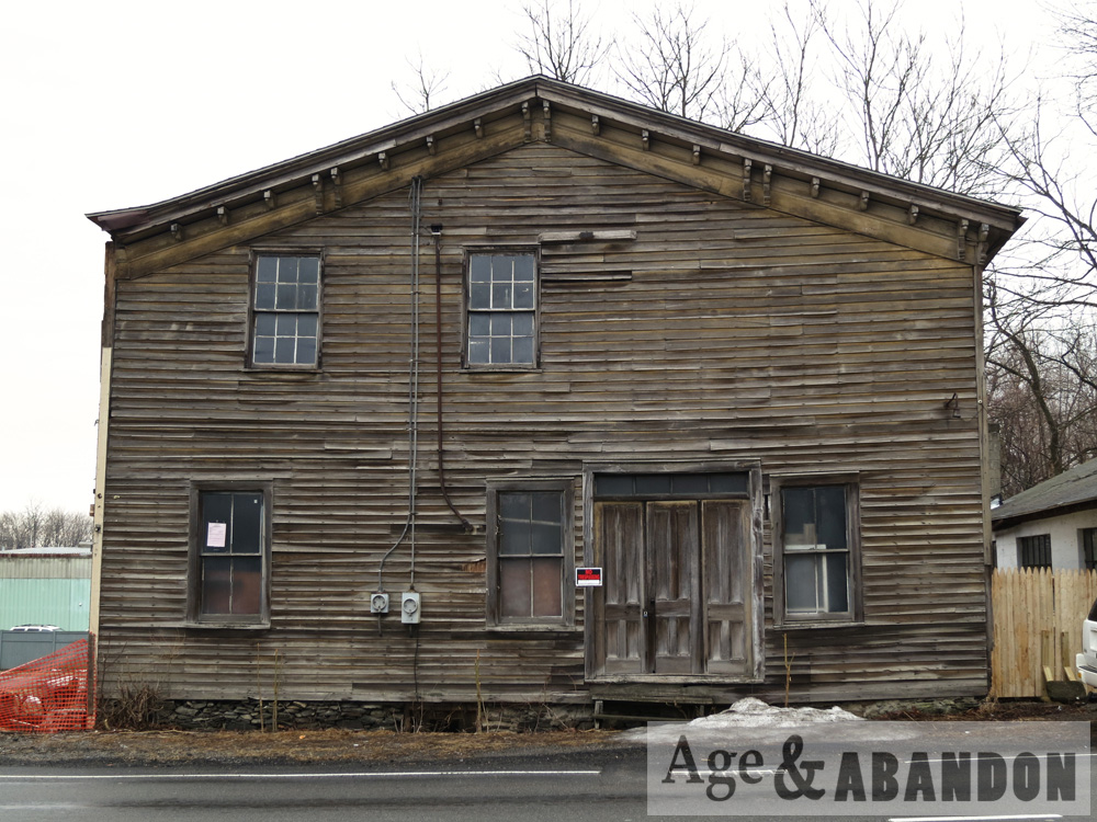
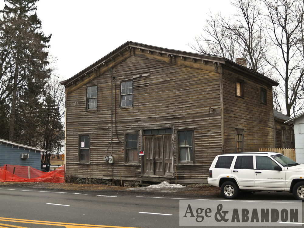
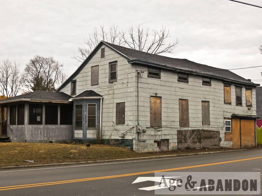
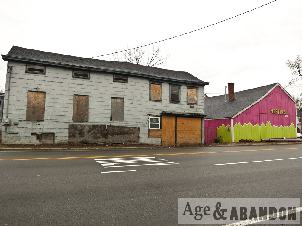
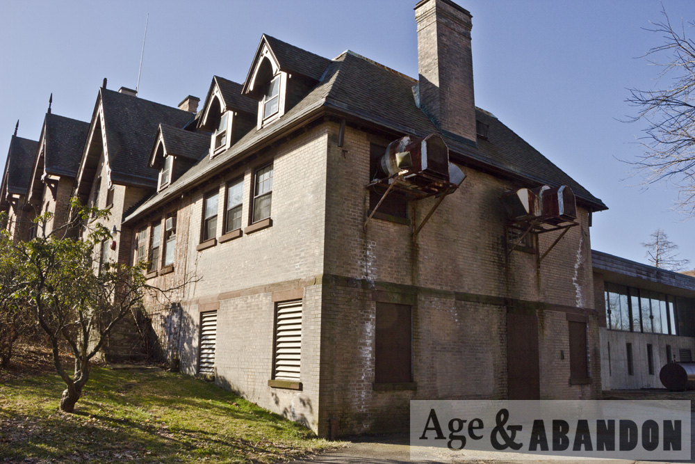
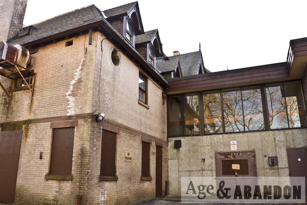
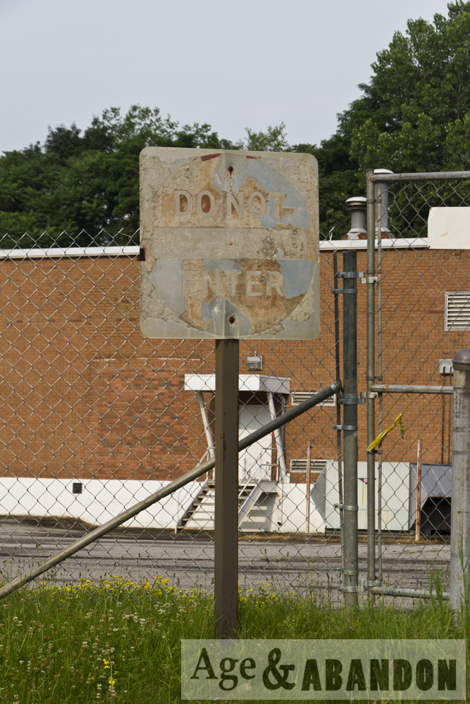
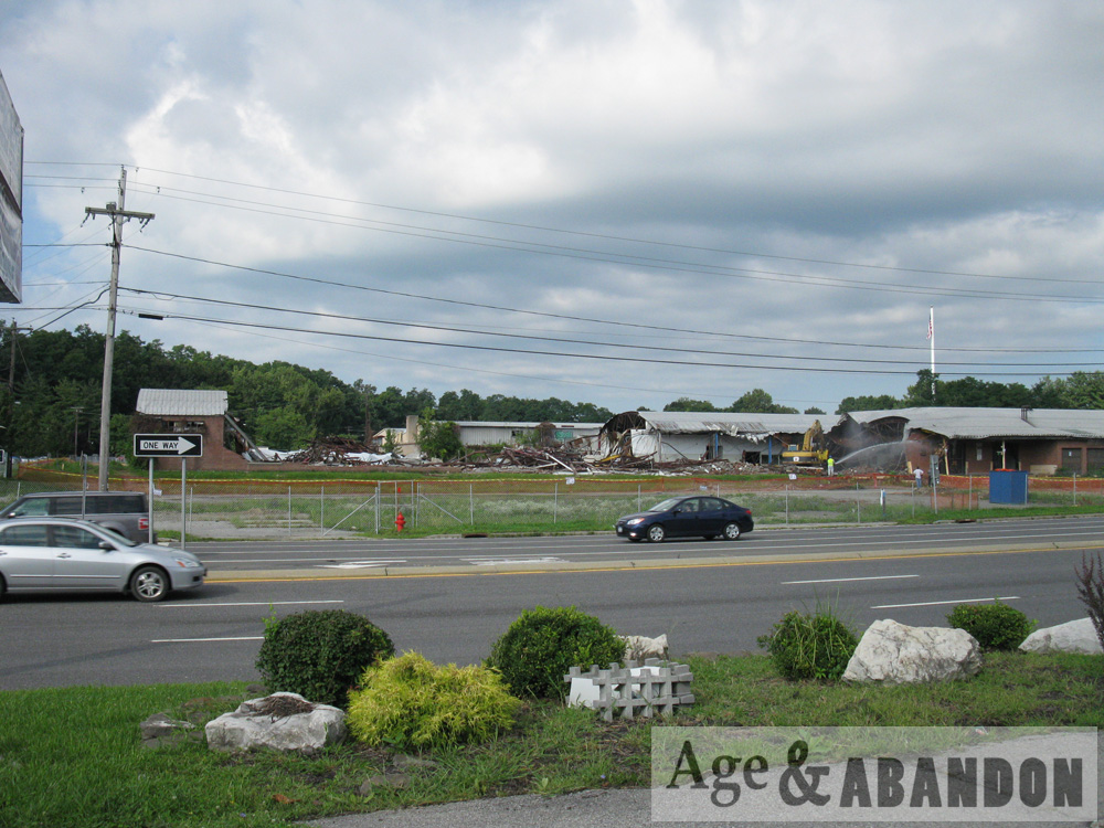
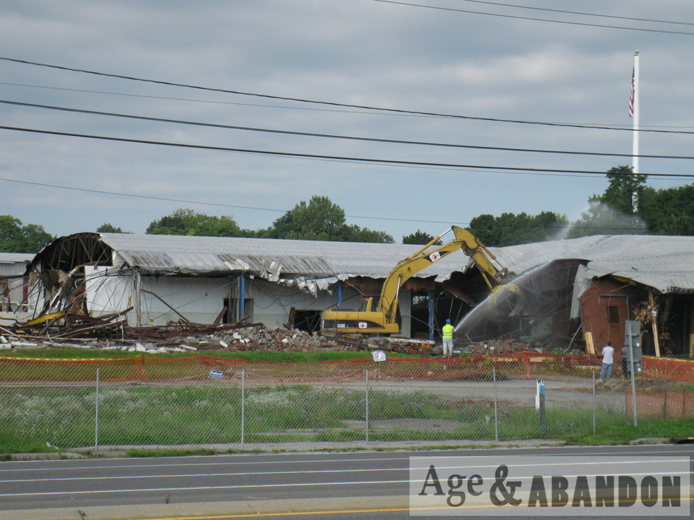
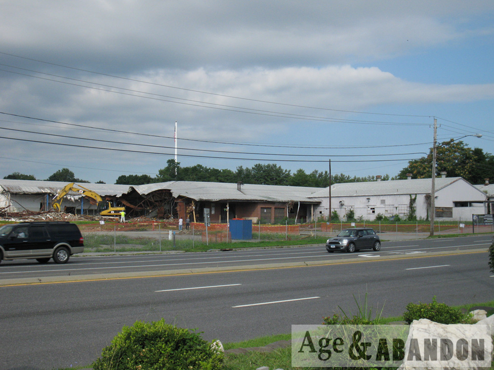
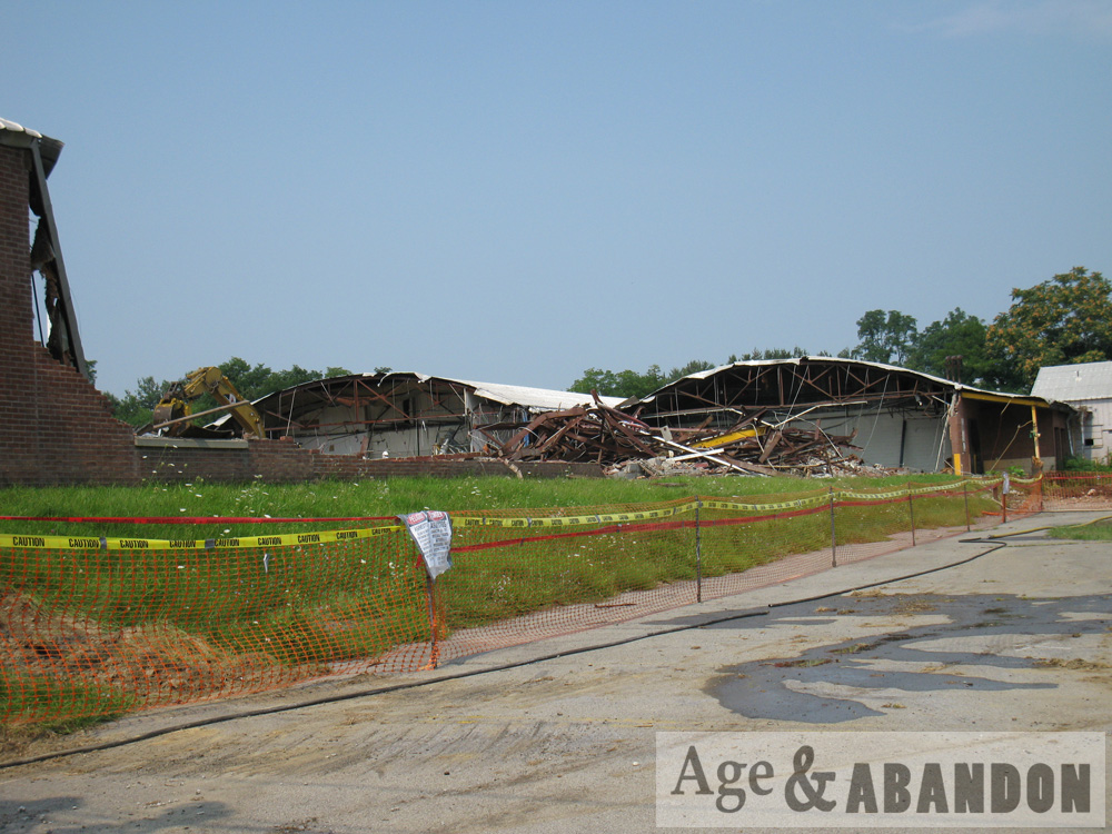
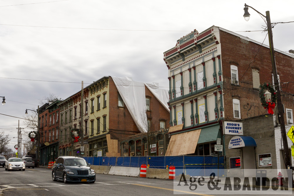
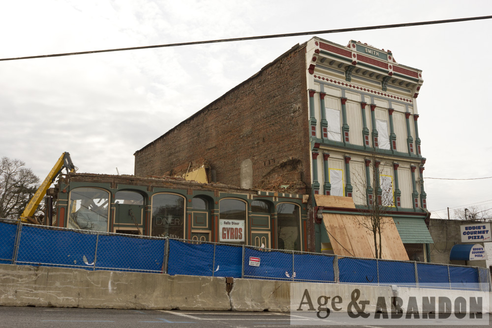
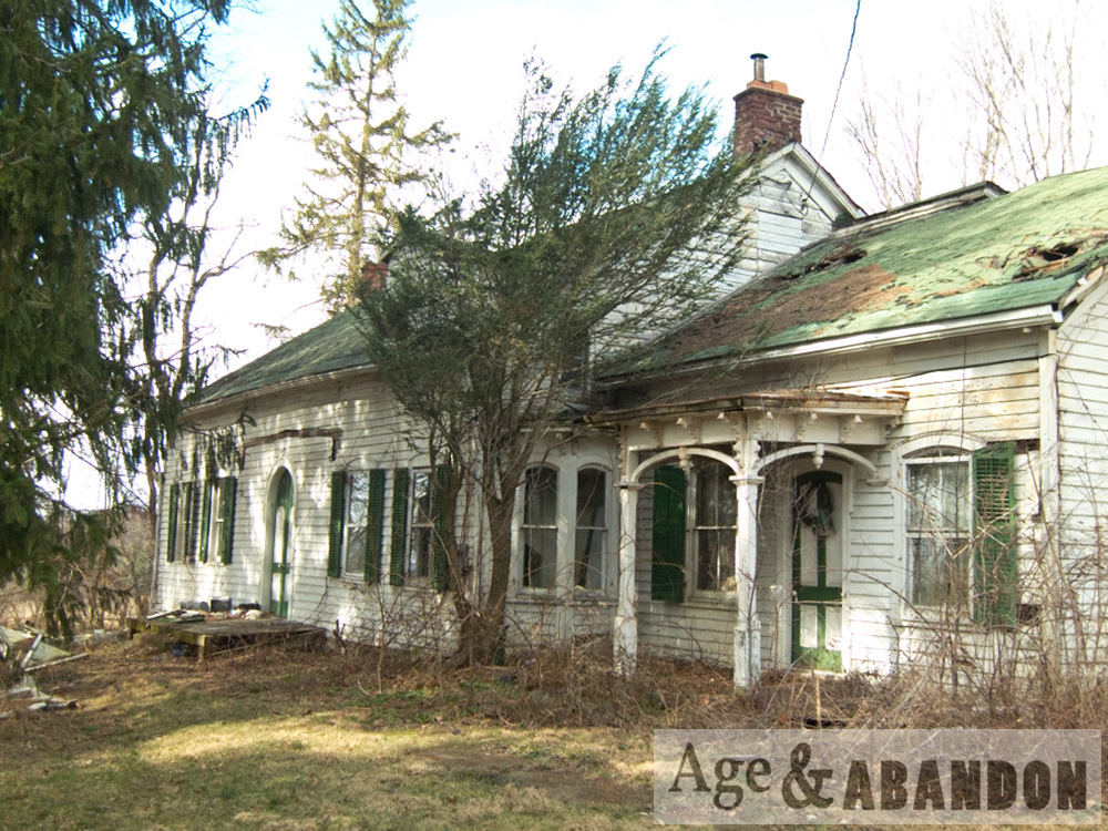
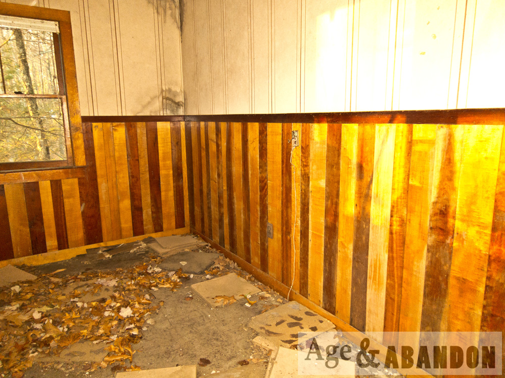
These buildings are located in the hamlet of Hughsonville in Wappiner on Route 9D a little south of the intersection with Old Hopewell Road.  I had been meaning to photograph these two buildings for years whenever I passed by, but I finally stopped and pulled out my camera when I saw that the tan building had already been demolished.  Soon after taking these photos, the brown building was also demolished.

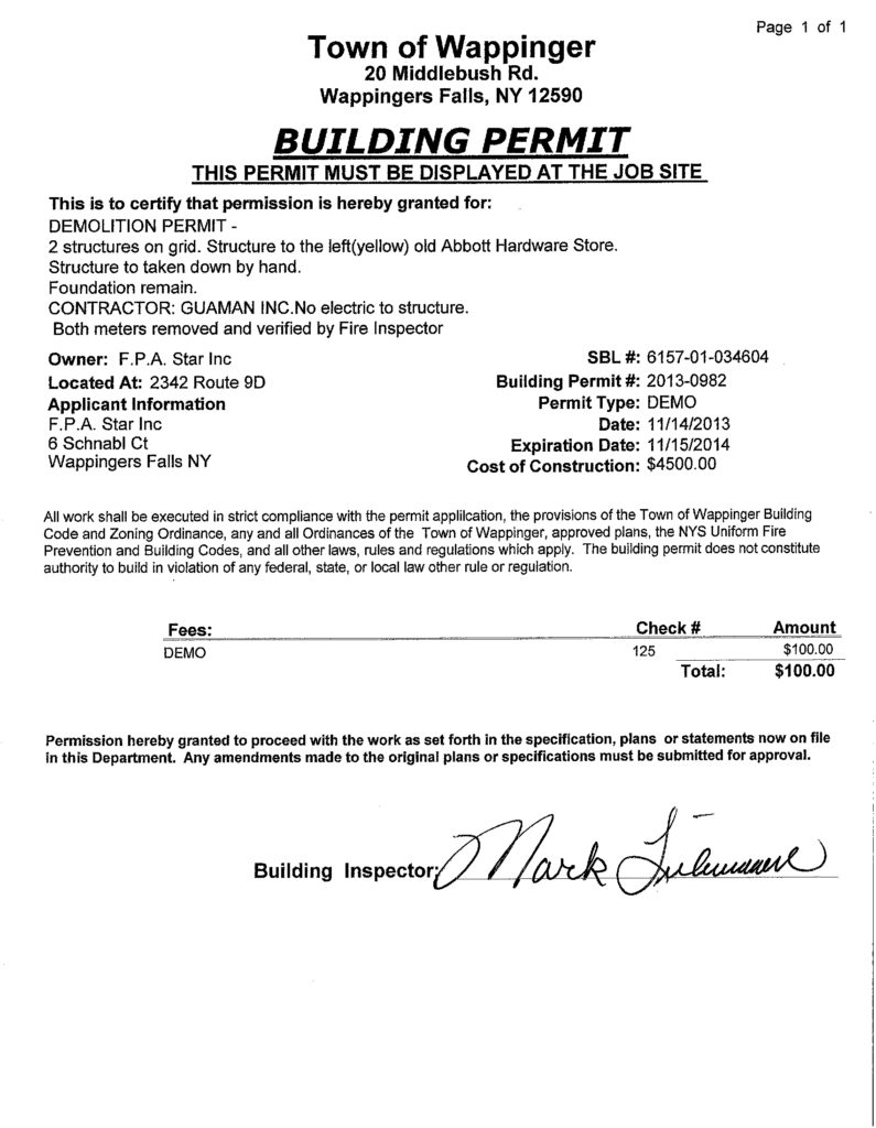
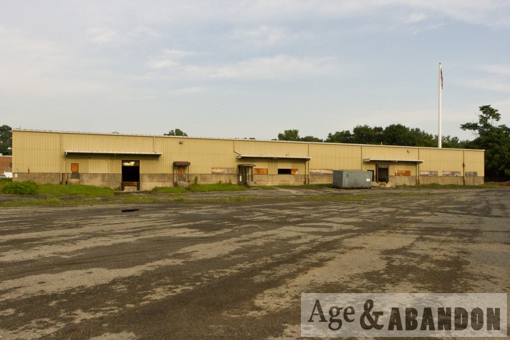
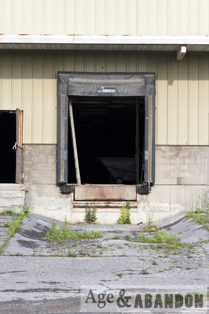
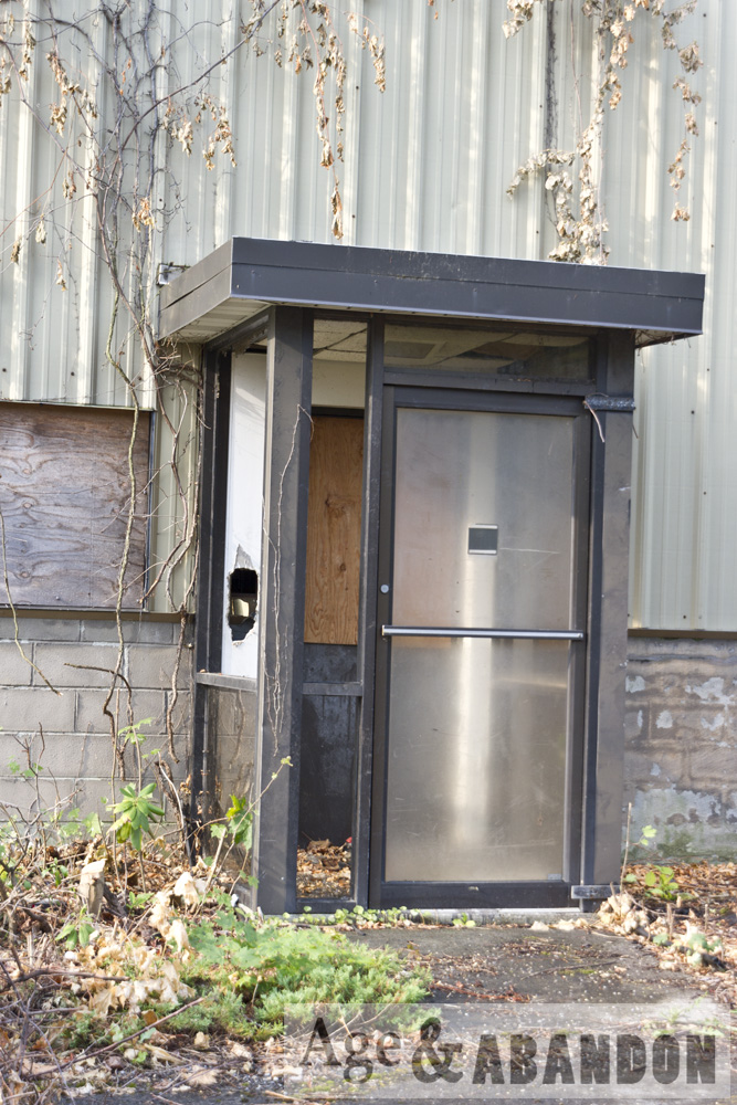
According to the demo permit, the tan building was the “old Abbott Hardware Store”.  I inquired in a local Facebook group what people remember about the two buildings, and it was confirmed that the tan building was a hardware store owned by the Abbott sisters.  Someone said “If I recall what Kathryn Abbott told me once, the hardware store was previously (many, many years ago) a post office, complete with drive up window for carriages.”

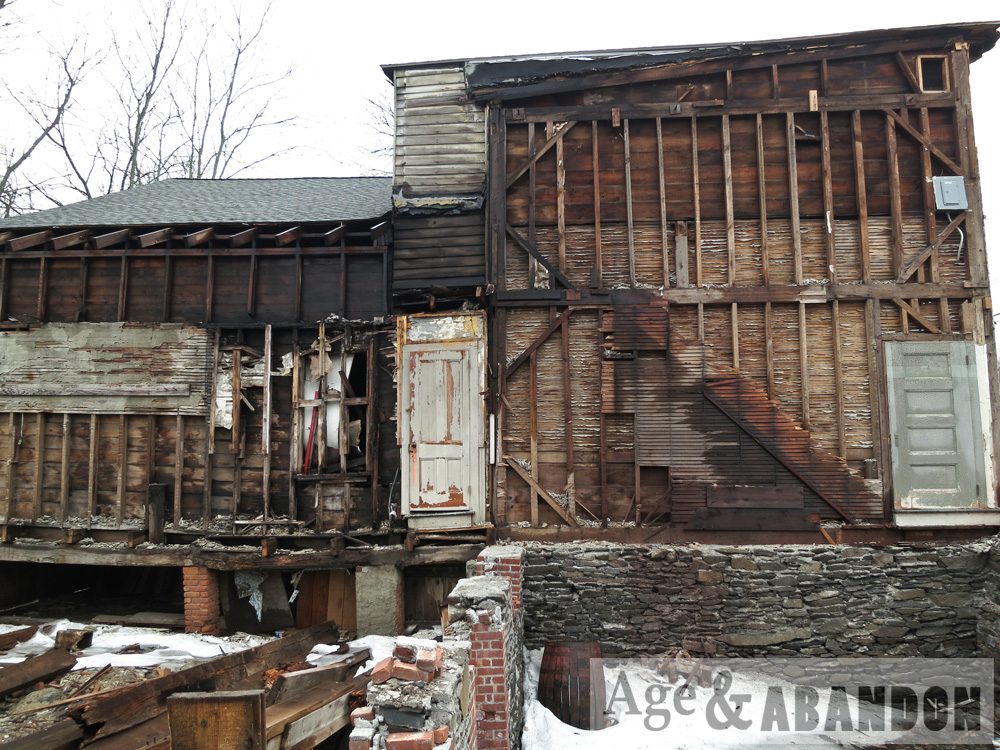
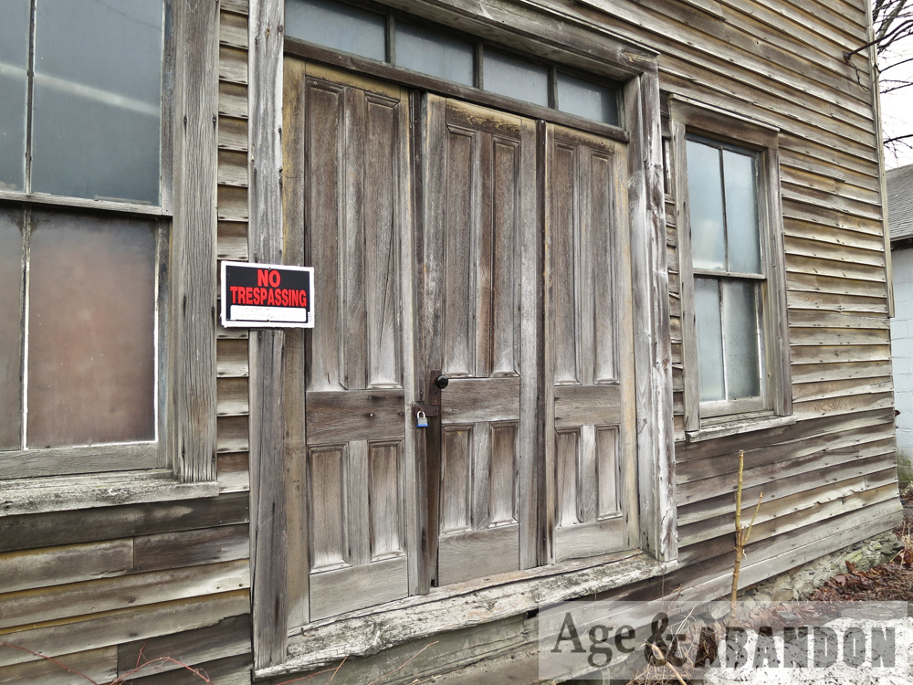
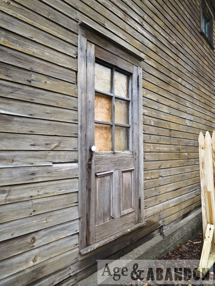
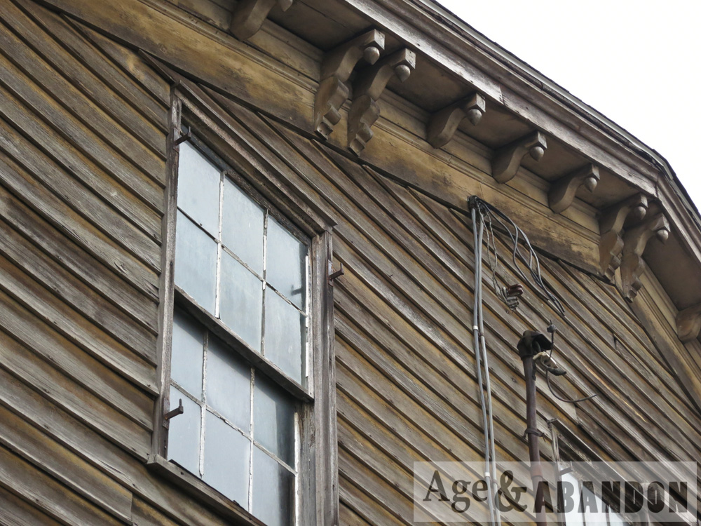
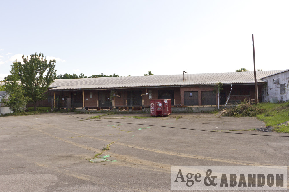
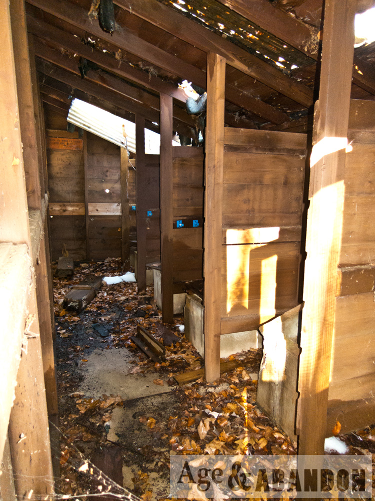
People remember the brown building to have been owned by a Dickie Leahy around the 1960s/70s/80s and in it he stored a collection of antique carriages, buggies, and/or horse-drawn sleighs.  Mr. Leahy may have even shoed horses.  The same person quoted above said that Kathryn Abbott told her the brown building “was at one time (late 1800s) a YMCA, but later used by the Abbotts for storage.”

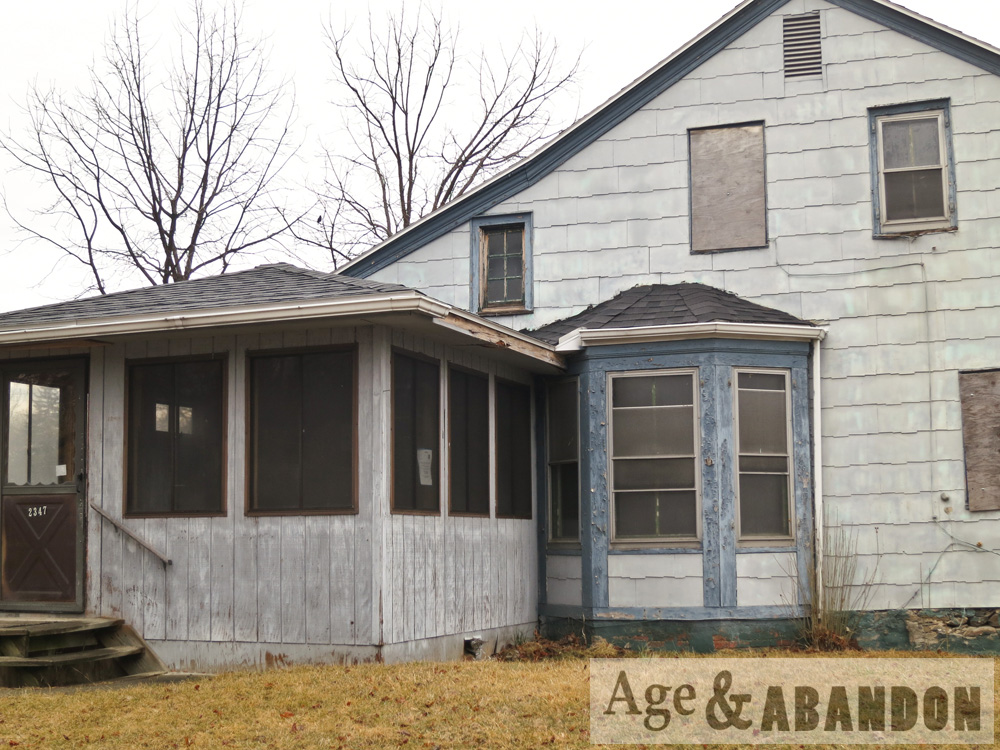
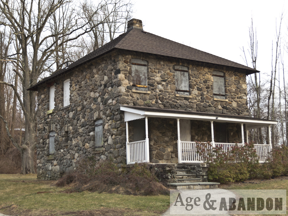
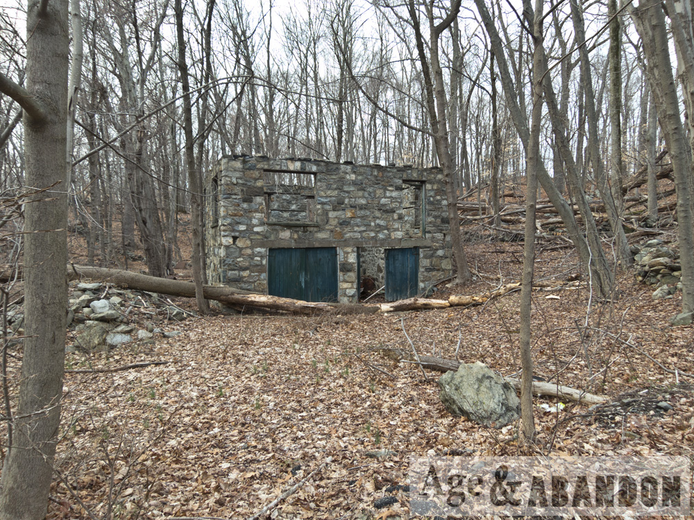
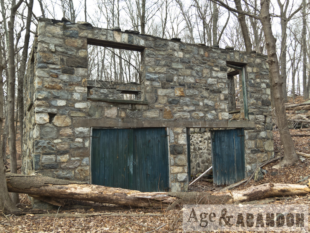
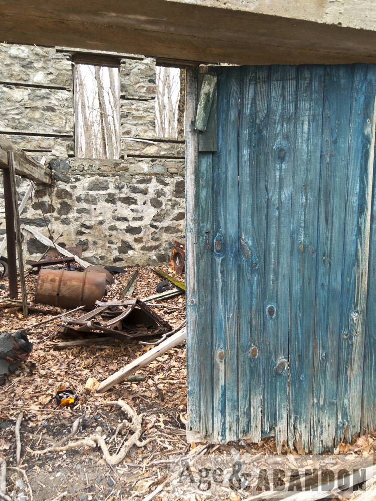
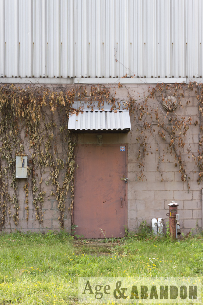
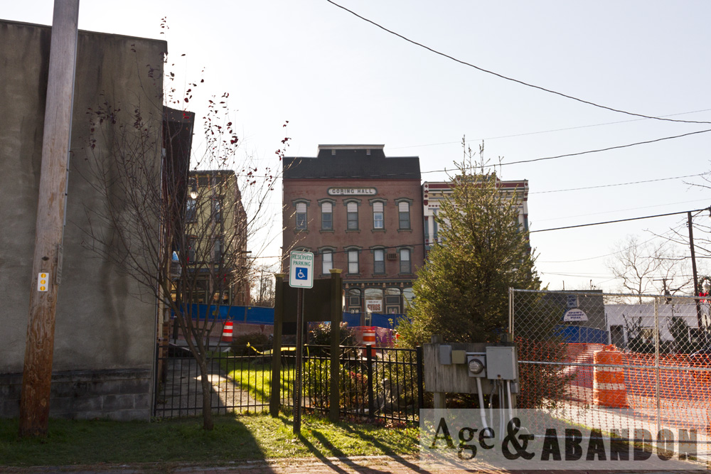
I have not obtained any history on the gray building with blue trim.

Locations:

Tioranda Estate, Beacon, NY

According to this website, the Craig House was built for the Civil War officer General Joseph Howland in 1859, and called Tioranda, and was turned into America’s first privately licensed psychiatric hospital in 1915.  It was closed in 1999.

According to this website, the Tioranda School was built in 1865 by designed by Frederick Clarke Withers, a famous gothic architect.  The building operated as a school, a chapel, and event a medical treatment space during the Great Flu Epidemic of 1918.

I don’t know anything about the house I found on the property and also photographed here, but I presume it is related to the estate.

Locations:

Abandoned House and Garage, Ossining, NY

This abandoned house and garage are located on either side of Croton Dam Road in Ossining, NY next to the Millwood Fire Department.  I was unable to find any history on either building.  I am presuming that the two buildings are related, but I could be incorrect.

Location:
House- Google Maps (41.201488, -73.822371)
Garage- Google Maps (41.201835, -73.823637)

New Hamburg Train Tunnel, Poughkeepsie, NY

This is an abandoned train tunnel just north of the New Hamburg, NY (a hamlet of Poughkeepsie) railroad station.  I also included a photo of the tunnel with the original train station.  Here is some history, taken from steamphotos.com:

“The Hudson River Railroad was chartered in 1846 to construct a route between New York City and Albany along the east bank of the Hudson River. The line was completed to Poughkeepsie in 1849 and to Albany by 1851. Just north of New Hamburg station, the railroad blasted a curved 836-foot unlined tunnel built to accommodate two tracks with a width of 24 feet and height of 18 feet at center.

“Tunnel construction began in September 1848 with the use of two vertical shafts 245 feet apart, one 45 feet deep and the other 35 feet deep from surface to tunnel ceiling. The tunnel was blasted in both directions from each shaft, as well as from the north and south ends, a total of six faces which were worked simultaneously. Construction took 16 months and completed on December 27, 1849. Use of the shafts significantly increased expenses as it required that all rock and water be hoisted to the surface and that fresh air be pumped in during blasting. However, upon completion, civil engineer Thomas Meyer estimated that use of the shafts saved more than a year of construction time as it allowed tunnel excavation to progress simultaneous to the blasting of cuts through an additional 700 feet of solid rock at the tunnel’s portals.

“The New York Central (NYC) obtained control of the Hudson River Railroad in 1864. Increased traffic on the NYC’s Hudson Division required an expansion to four tracks and realignment in New Hamburg. In 1930, the double-track tunnel was replaced with a parallel open cut which continues to serve Metro-North and Amtrak. Today, the tunnel remains in good condition and is used by Metro-North maintenance crews to access the current right-of-way north of New Hamburg. The southernmost shaft is protected at the surface with a metal grate, allowing light to enter and water to cascade from the tunnel ceiling. The northern shaft has been covered at the surface.”

More Information:  SteamPhotos

Location:  Google Maps (41.588977, -73.947286)

Former IBM Buildings, Poughkeepsie, NY

These two very long buildings were located on South Road/Route 9 and Neptune Road in Poughkeepsie.  I was told these were formerly IBM buildings.  Based on aerial photos, they were built some time between 1955 and 1970.  The buildings were demolished in 2012 and the site was redeveloped to include several restaurants.

Location:  Google Maps (41.644255, -73.923512)

More information:  Historic Aerial Photos (see 2009 versus 2016)

Goring Hall, Wappingers Falls, NY

This building was located at 5-7 East Main Street in the downtown Village of Wappingers Falls.  The building had a partial collapse on November 22, 2012.  The entire building was demolished the following month.  These are photos after the initial collapse and also during demolition.

According to the Building Inventory Form completed in 1979, the building was built circa 1872 and its history is as follows:  “Goring Hall was upstairs in this building, where various organizations met including the Red Men.  It was also the Village meeting hall at one time.  The downstairs housed a drug store at one time and was also the Post Office.”

More information:  Building Inventory Form (USN 02744.000050)

Location:  Google Maps (41.598630, -73.919394)

Sleight Farm Property, LaGrange, NY

This abandoned farm property is located at 619 Noxon Road in LaGrange.  These buildings are part of a >100 acre farm parcel.  I photographed the house, carriage house, and silo foundation, based on the sketch in the building inventory (mentioned below).  As of 2017 the property may have been sold (it was for sale) because some construction is occurring on the property – namely, the carriage house photographed here has been demolished.

According to the Historic Resource Survey from 1986, the structures on the property date to late 1700s, early 1800s, and middle 1800s, with some outbuilding from the middle-to-late 1800s and early 1900s.

At the October 23, 2013 meeting of the Town of LaGrange Board, a Forest Stewardship Management Plan was submitted to allow for selective cutting of about two acres of trees outside of the restricted areas of the Conservation Easement on the property.  The application was to “cut firewood on the property”, “maintain field edges and fields for crop production”, “keep current farm trails open for access”, “transplant and/or transfer planted conifers”, and “crop tree management for possible future sawtimber production”.  The property was identified as Sleight Farm and owned by the Sleight family.

At the August 18, 2016 meeting of the Town of LaGrange Board, there was an application discussed for a special use permit of the property as the Gray (Vale?) Fox Distillery.  The proposal was to construct the distillery building in the “upper part” of the property.

Location:  Google Maps (41.650374, -73.827479)

Sanita Hills, Pawling, NY

Sanita Hills was originally made for NYC sanitation workers (hence the name) by pulling old NYC rail cars, nicknamed Pullmanettes, into the woods and converting them into cabins. The cars came from the old Second and Third Avenue El elevated railway lines in NYC. Later the camp was taken over by the Boy Scouts before eventually being abandoned. At some point all of the cars were cut up and removed, except one.  These are photos of what remains of the camp at Whaley Lake.

More information:  Abandoned Hudson Valley

Locations:
Remaining car – Google Maps (41.549786, -73.655748)
Some of the camp – Google Maps (41.556562, -73.653208)

Yosemite Valley Railroad, Mariposa County, CA

These are photos of the old Yosemite Valley Railroad rail bed located along the Merced River, paralleling Route 140, and some of the old houses in the area.  The historic photo is from a kiosk near where the present-day photos were taken.

According to the website below, “Grading of the railroad began in September 1905 in Merced…While the original intent of the railroad had been to provide passenger service to the Park, the railroad was quick to encourage the growth of freight traffic…Passenger business on the railroad peaked in the mid-twenties, dropping thereafter due to the increased use of private automobiles to go to Yosemite…”

More information: Yosemite Valley Railroad History

Location: Google Maps (37.605495, -119.967243)