Age & Abandon

Age & Abandon

Main menu

Skip to primary content
Skip to secondary content
  • Home
  • About
    • Events
  • Galleries
    • Buildings (Agricultural)
    • Buildings (Commercial)
    • Buildings (Industrial)
    • Buildings (Religious)
    • Buildings (Residential)
    • Buildings (Military)
    • Buildings (Medical)
    • Buildings (Lighthouses)
    • Buildings (Miscellaneous)
    • Infrastructure
    • Ruins
    • Demolished
    • Cemeteries
    • Area/Towns
    • Miscellaneous
  • Links
  • Contact
  • Blog

Post navigation

← Older posts
Newer posts →

Tioronda Hat Works, Beacon, NY

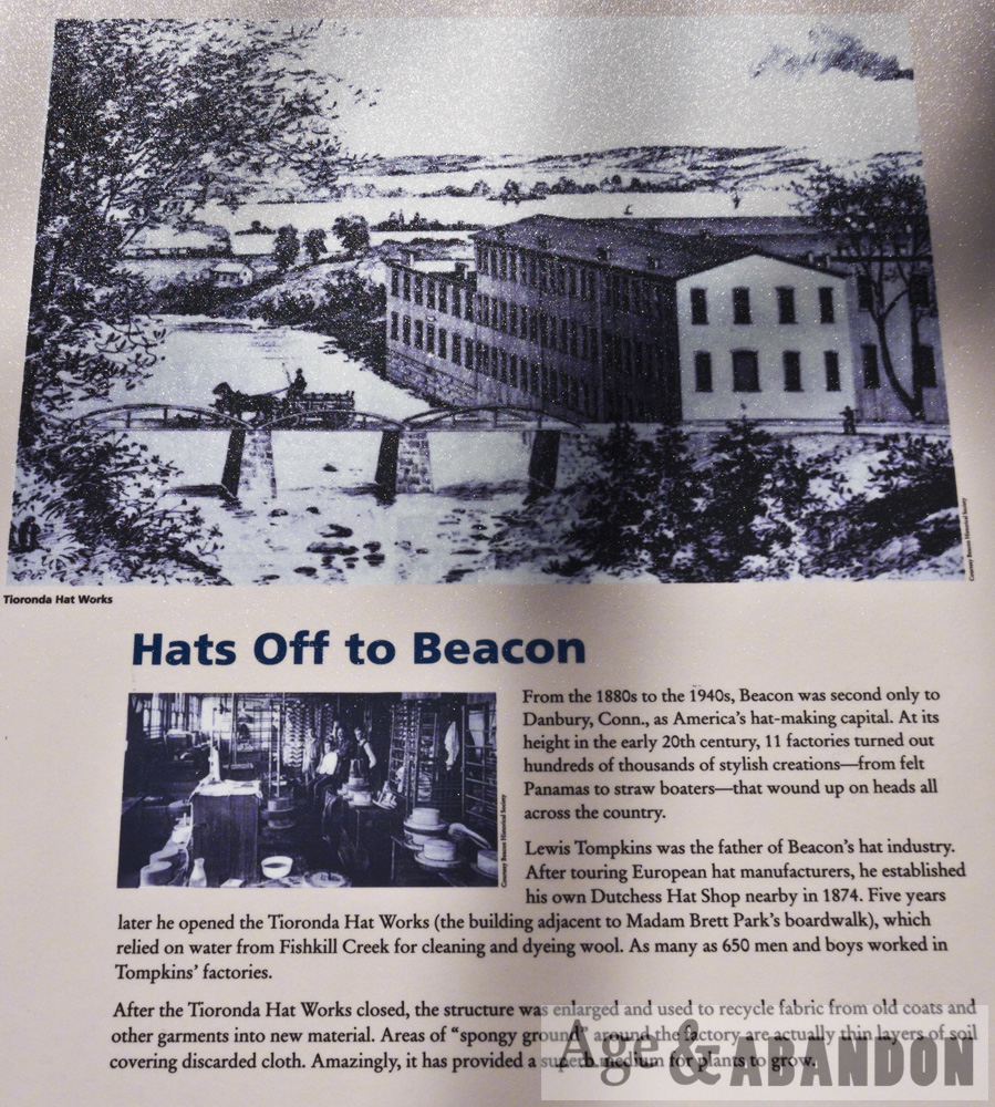
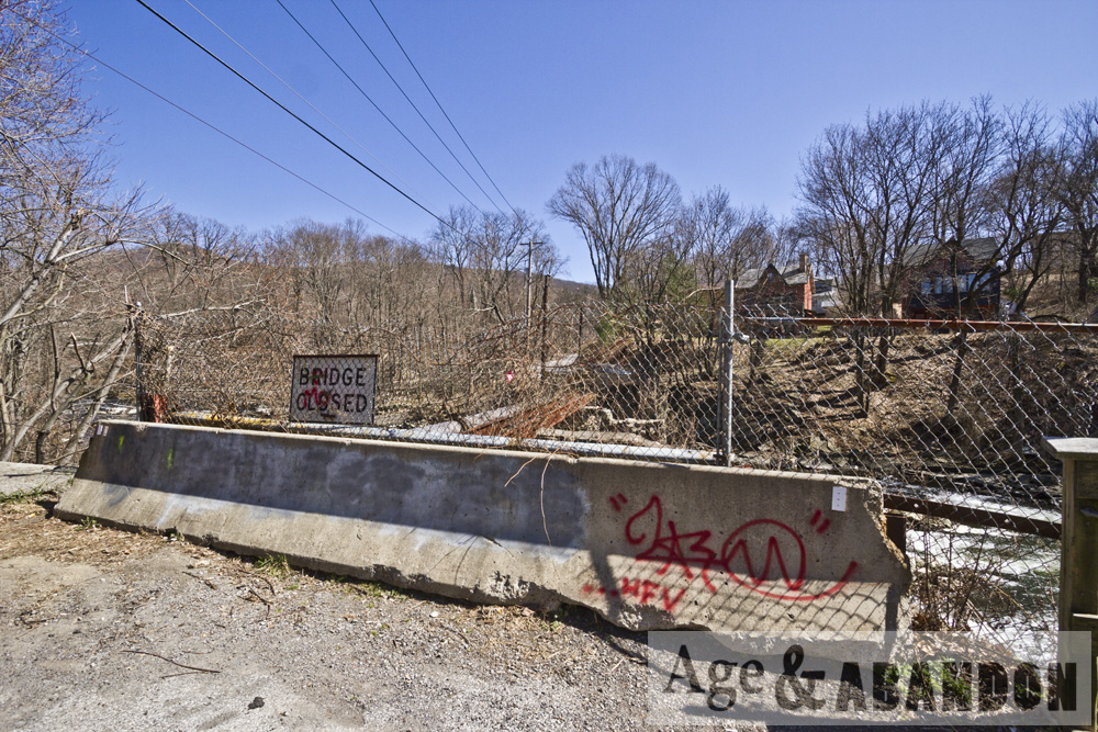
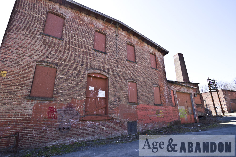
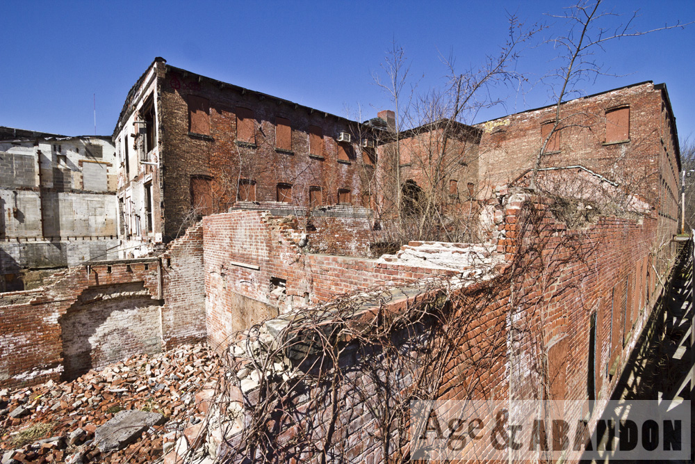
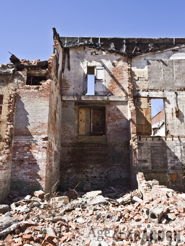
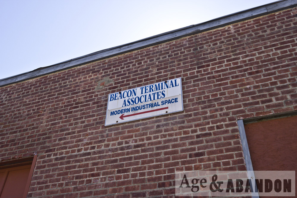
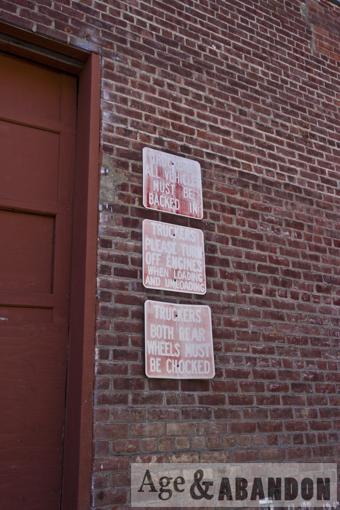
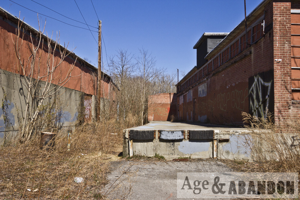
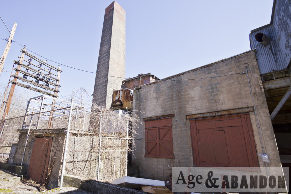
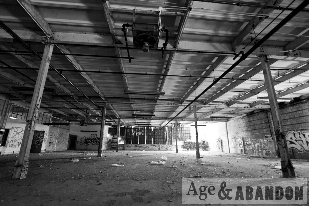
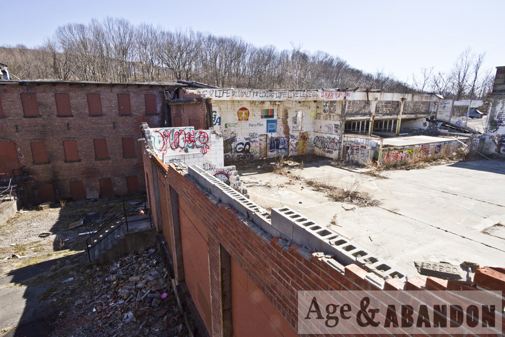
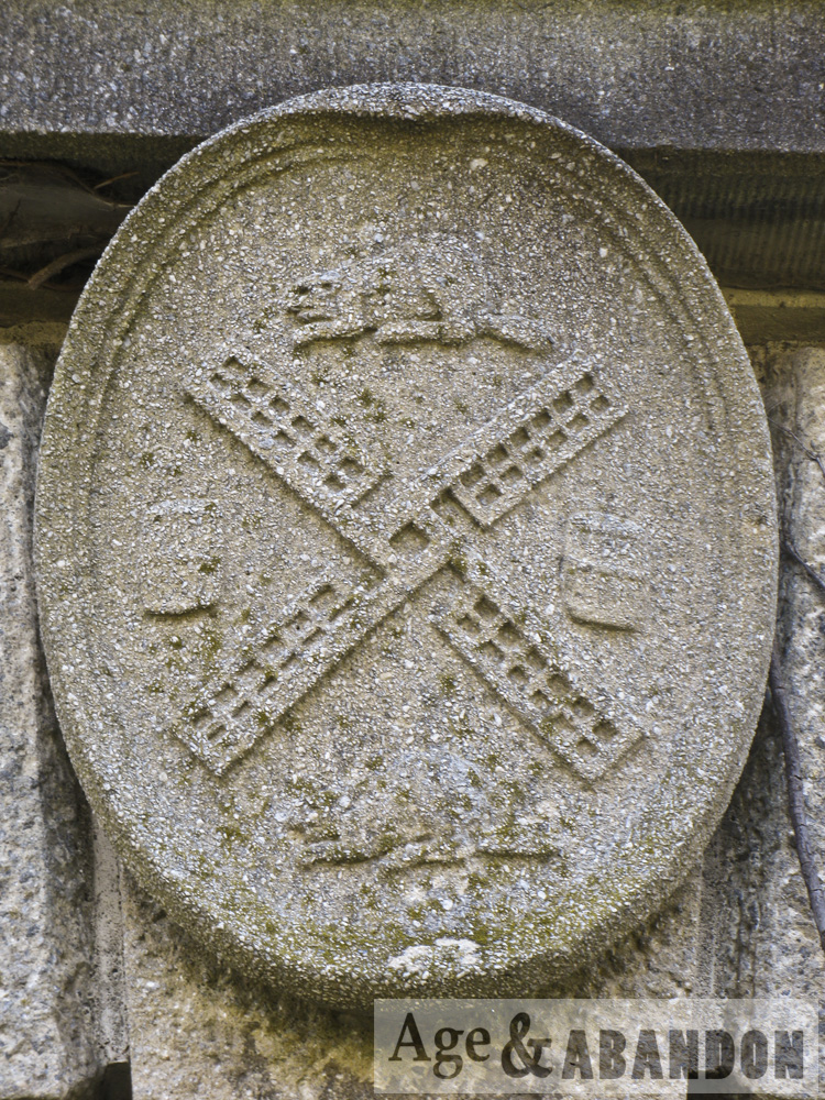
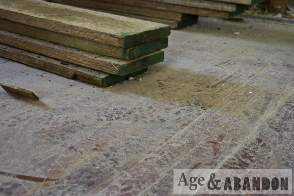
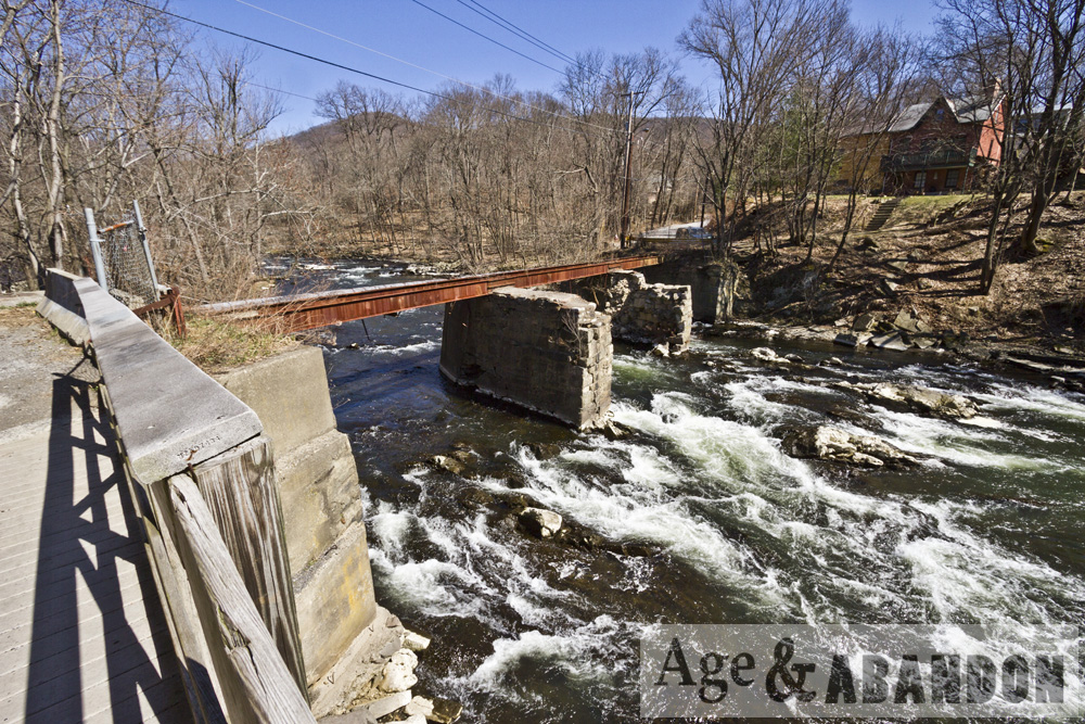
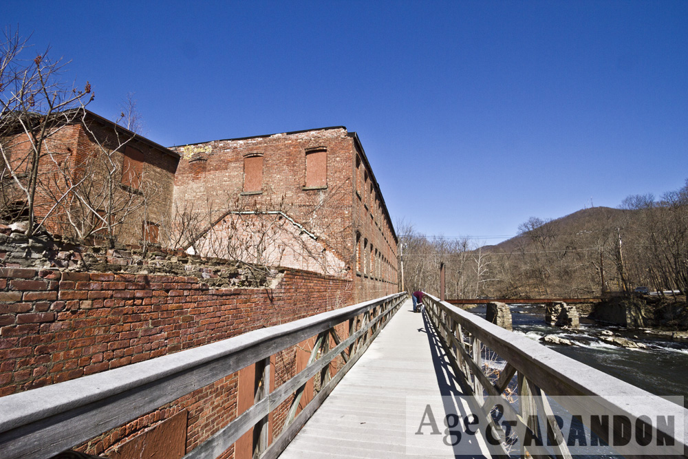
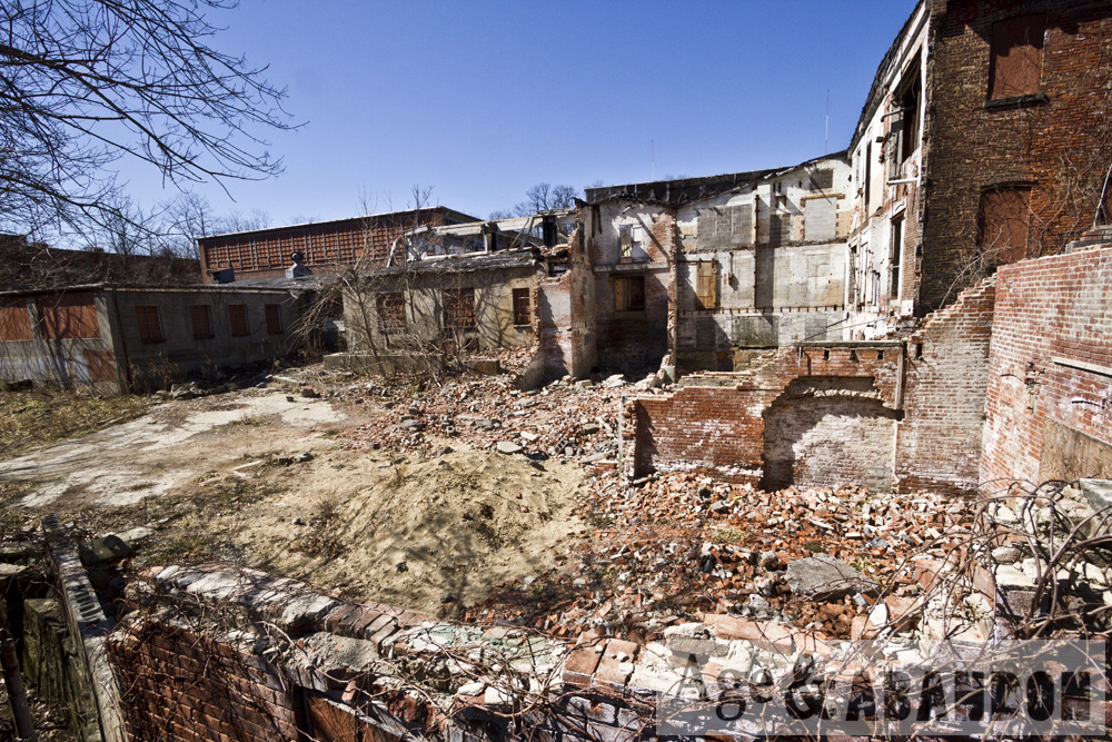
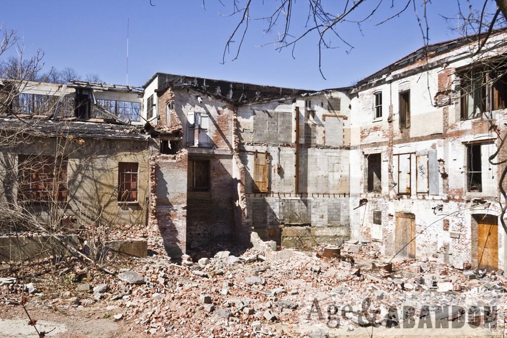
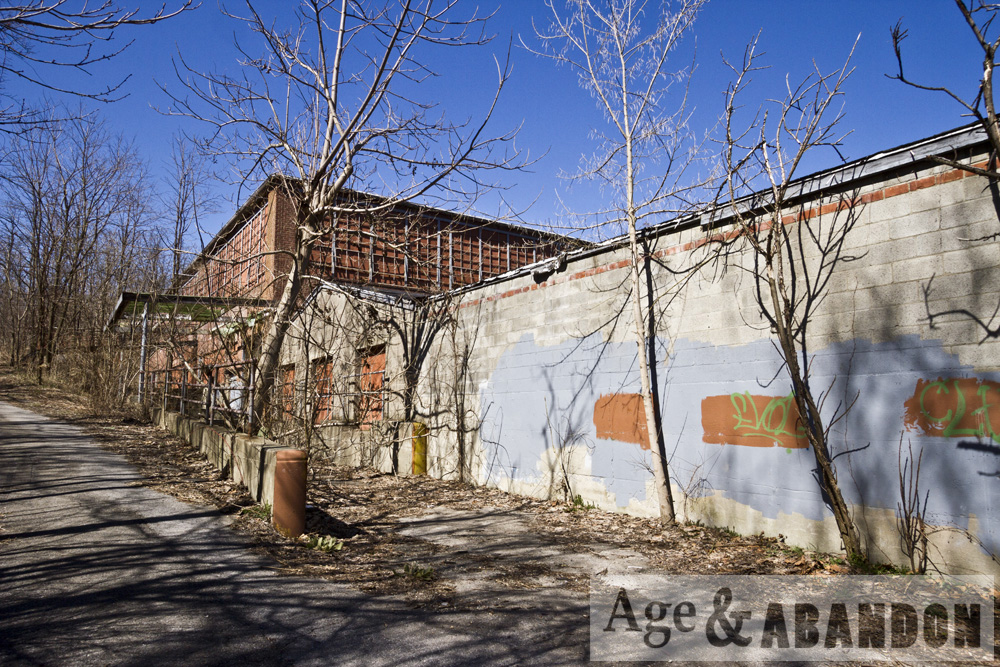
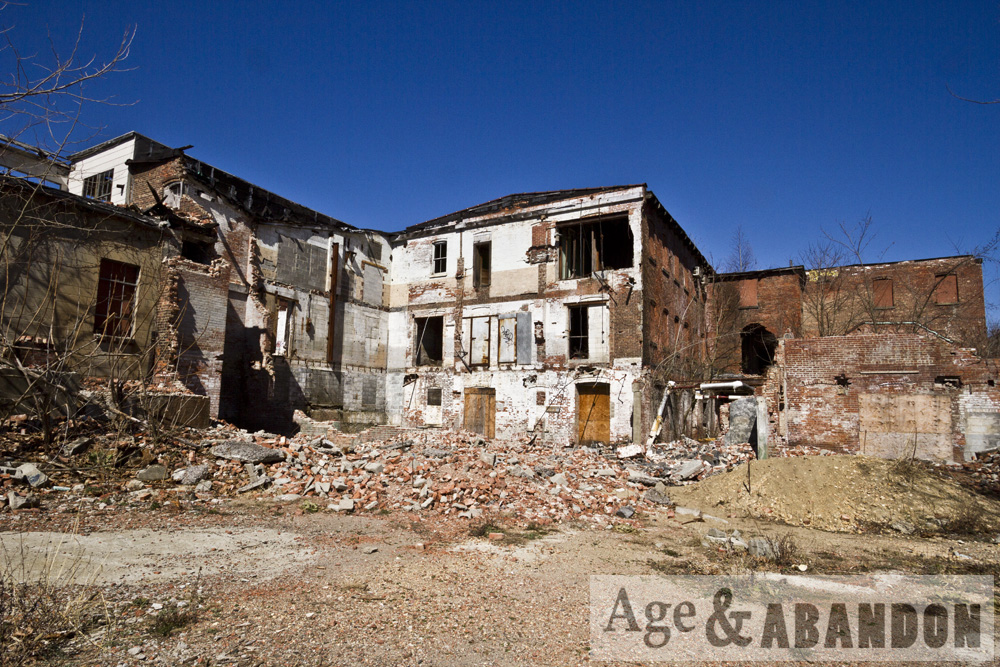
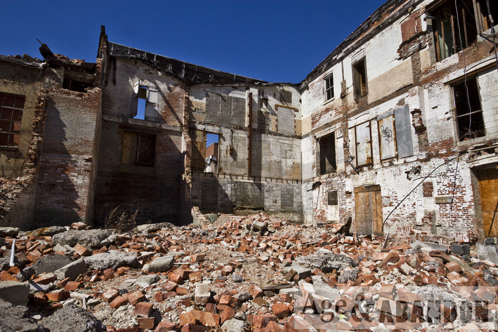
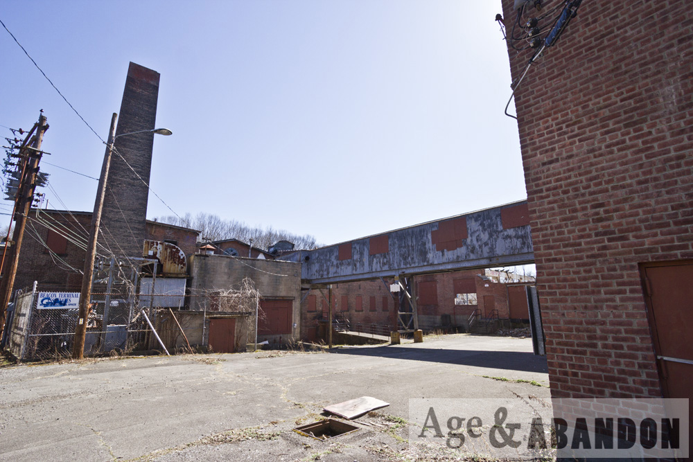
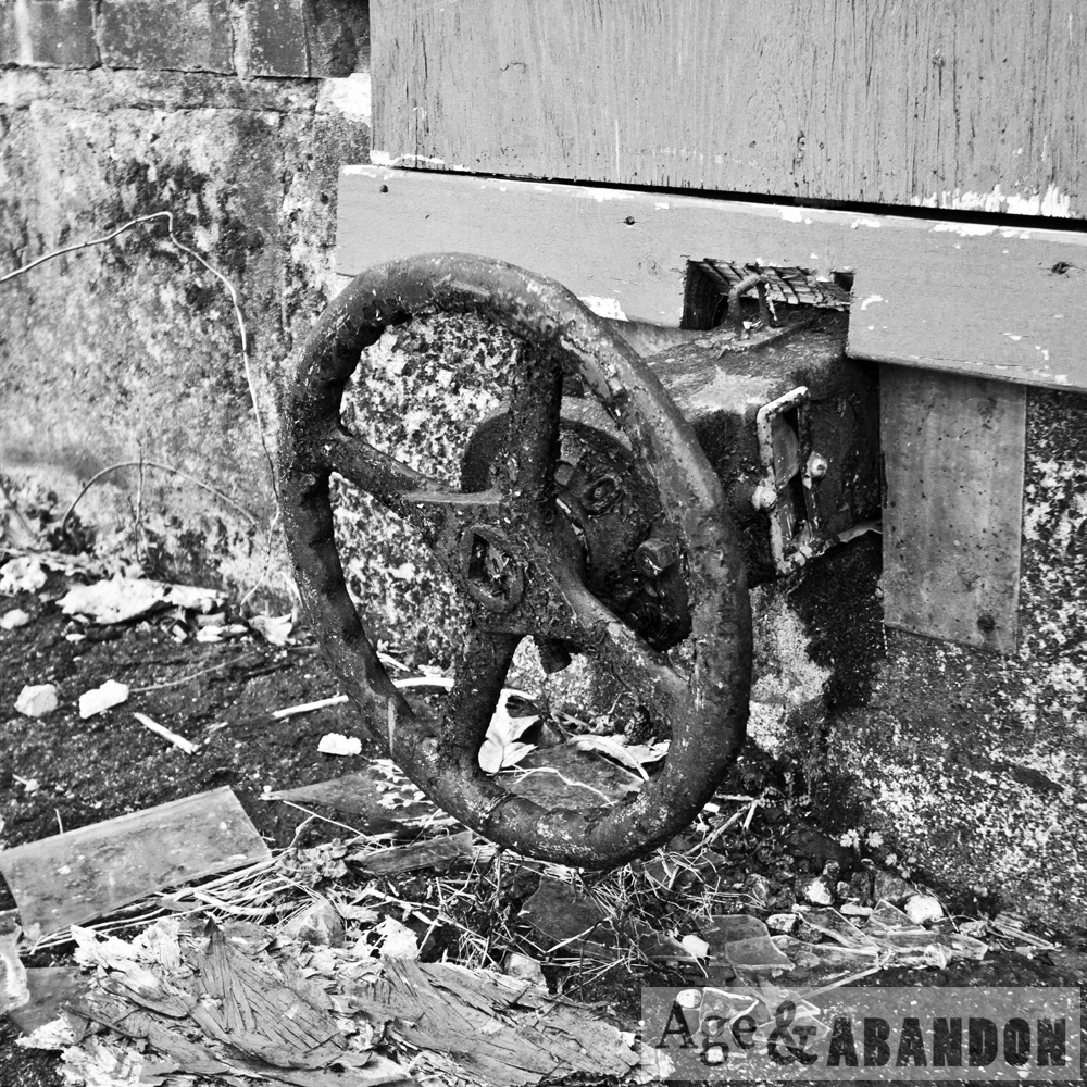
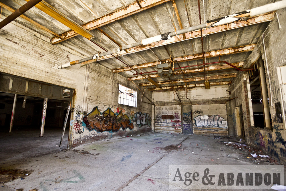
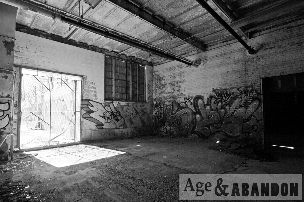
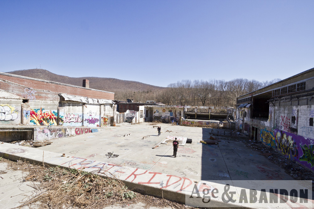
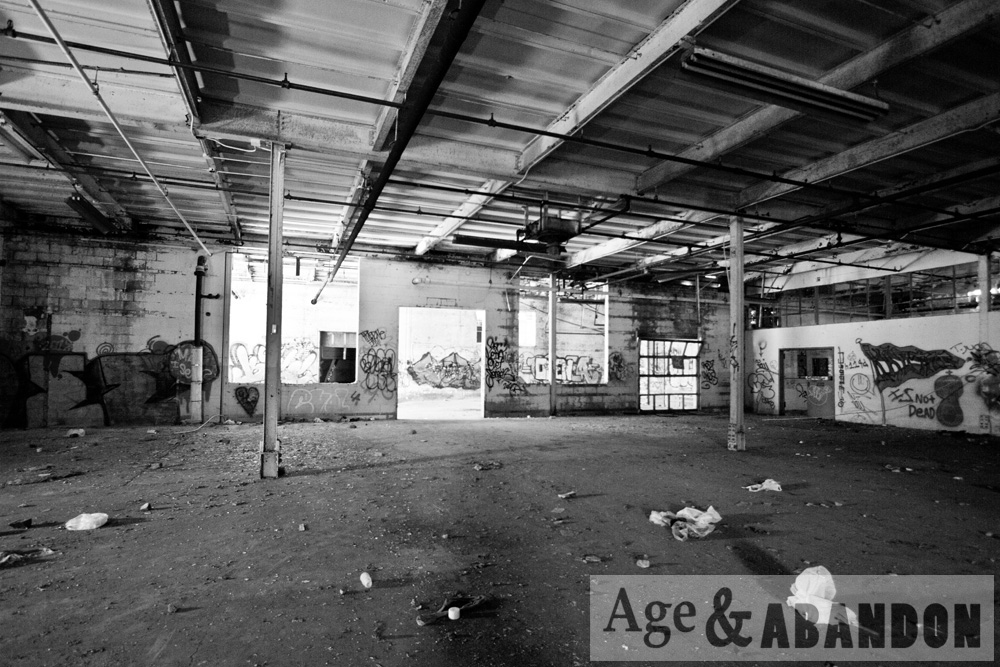
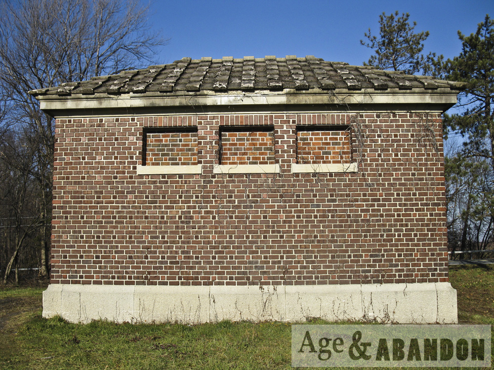
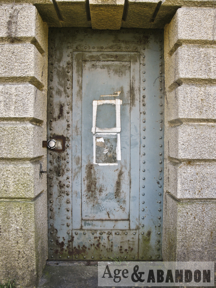
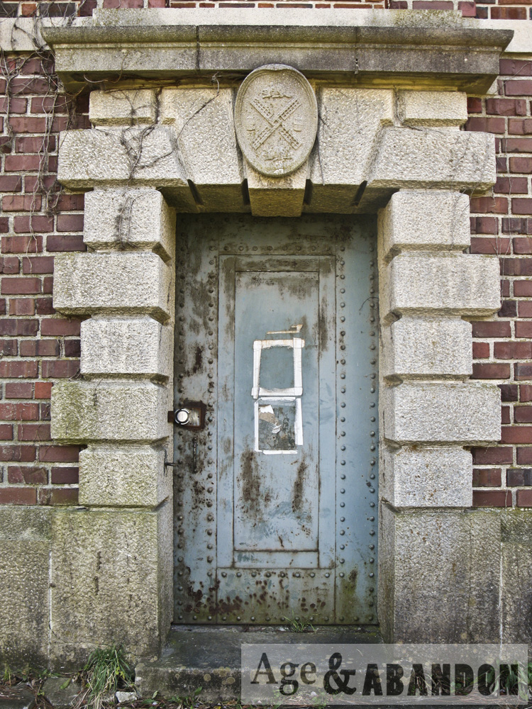
Photographs of the former Tioronda Hat Works, Beacon, NY.  Photographed circa 2014.

More information:  Rob Yasinsac

Location: Bird’s Eye View (41.488821, -73.975146)

Last Updated on February 15, 2016 by administrator
Posted in Buildings (Industrial) Galleries | Tagged Beacon, NY

Abandoned Farm, Red Hook, NY

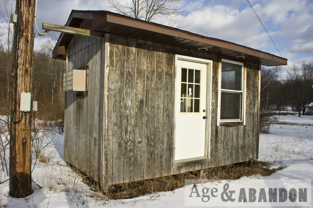
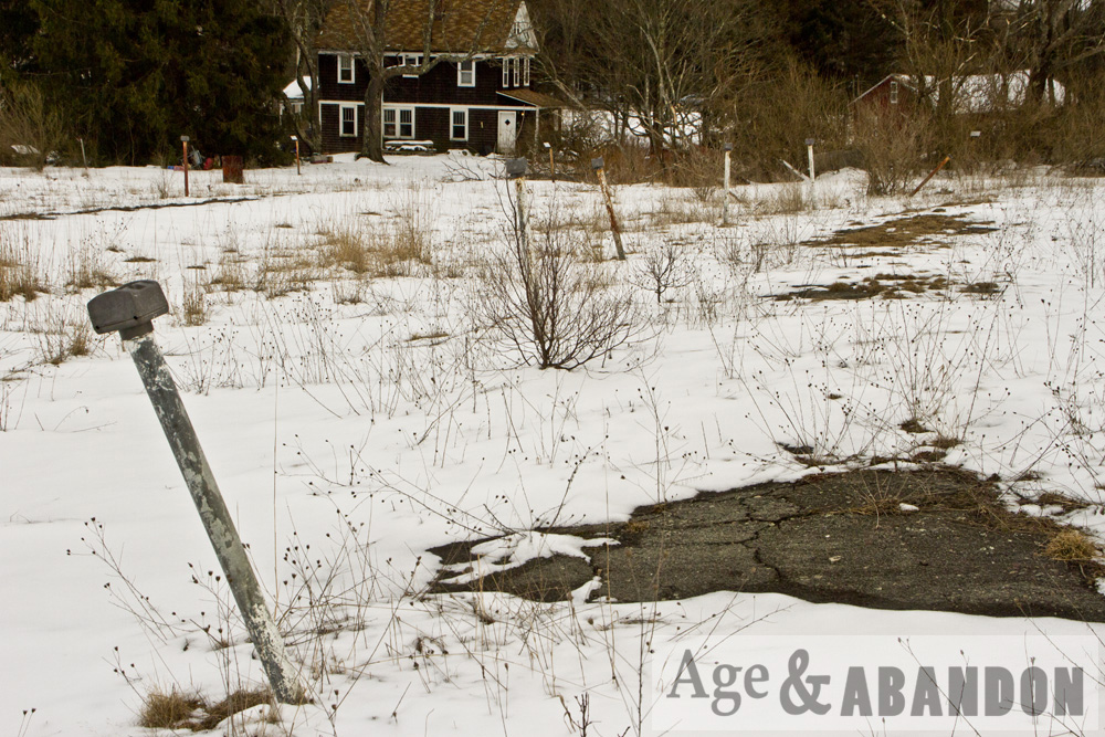
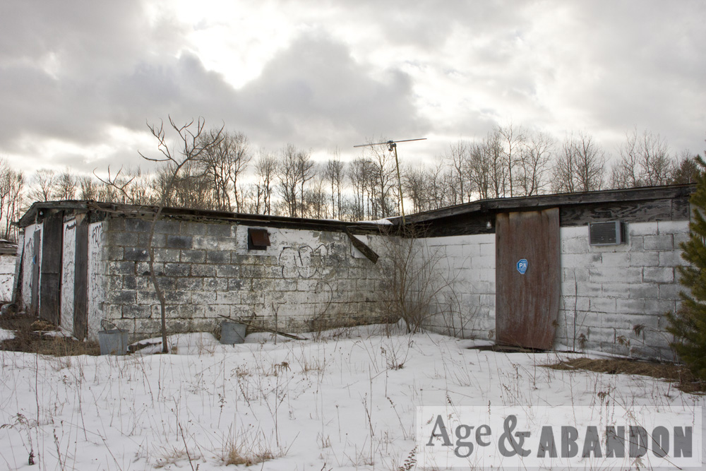
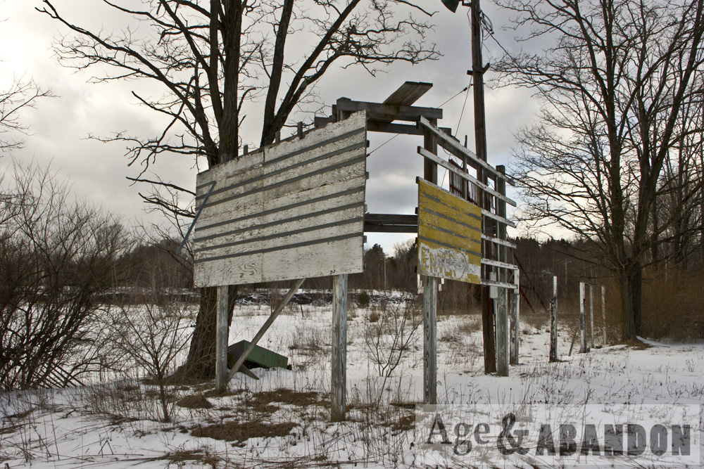
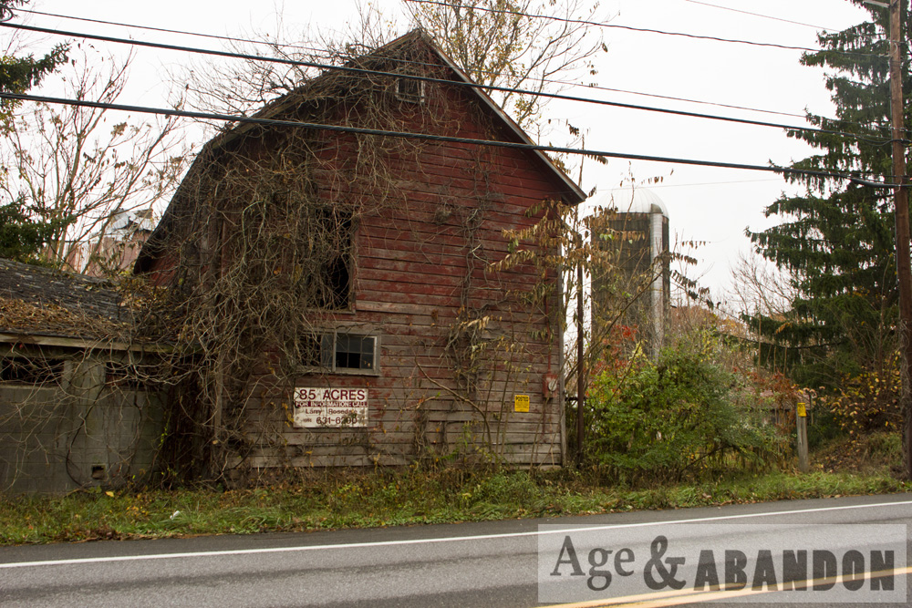
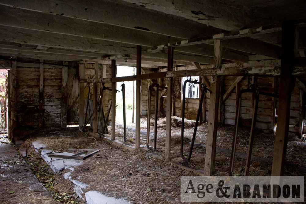
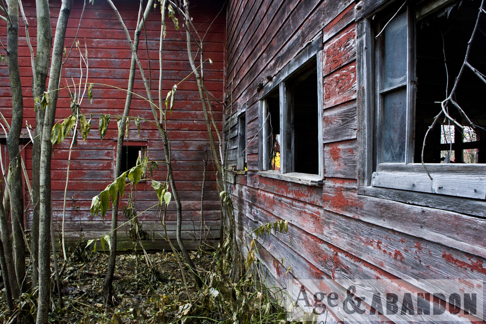
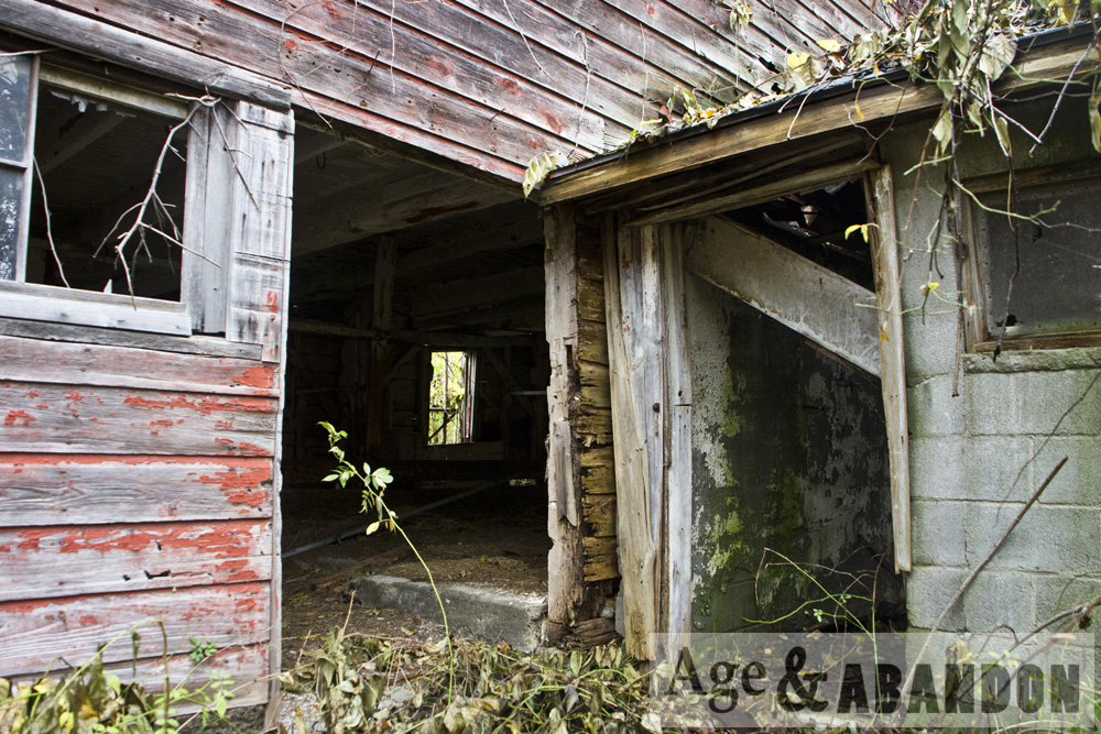
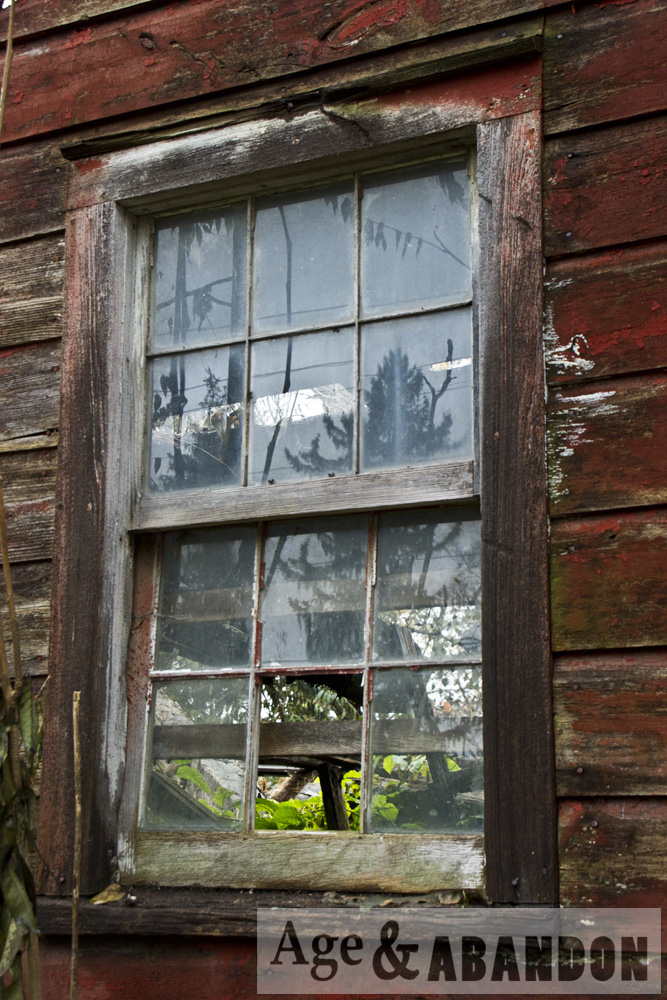
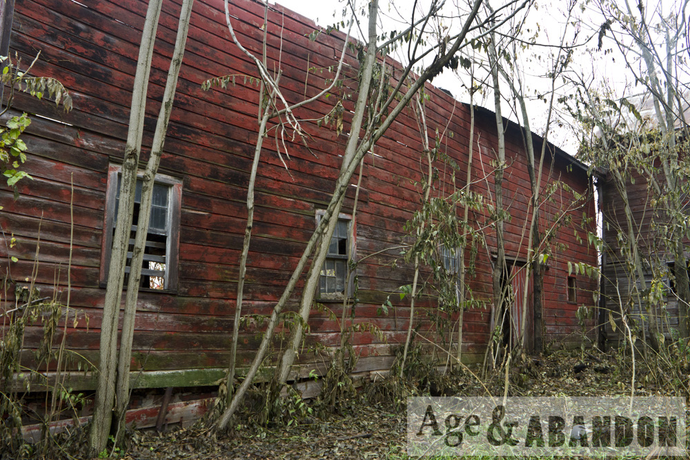
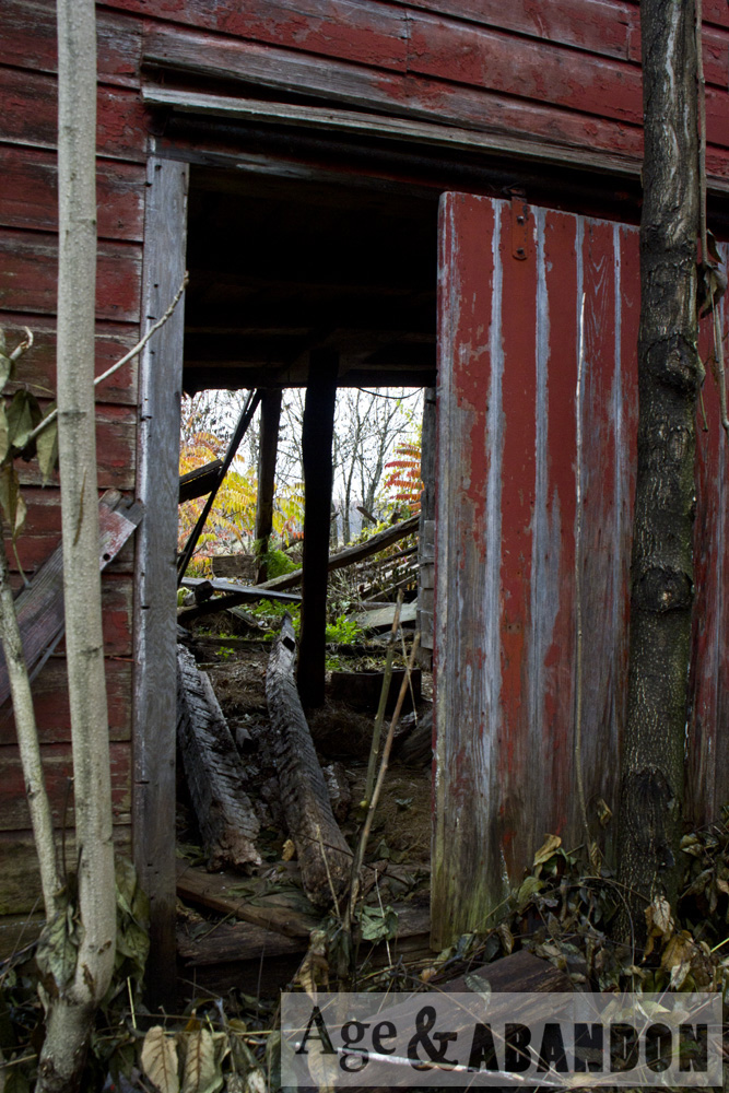
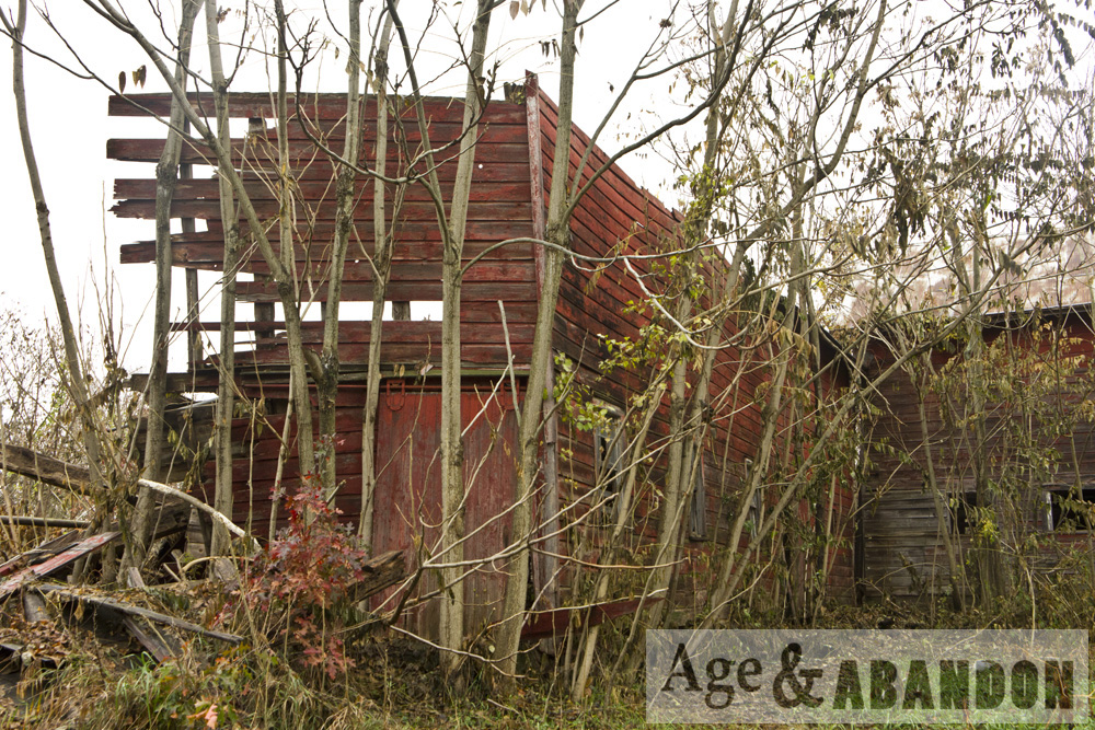
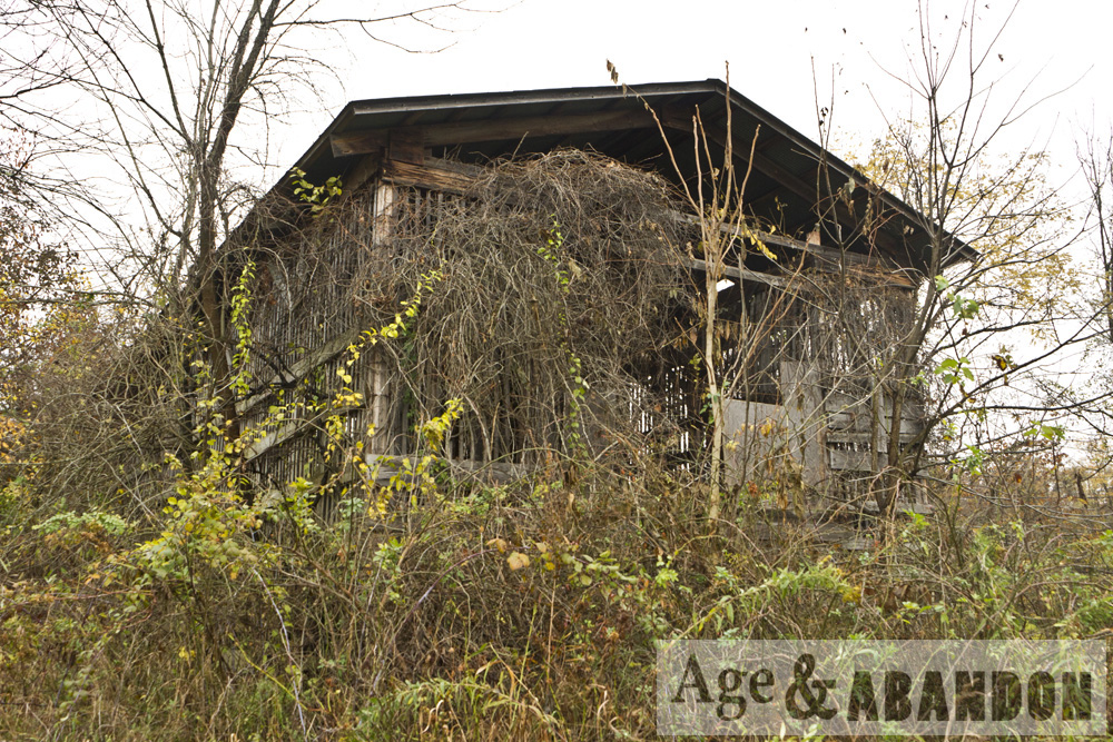
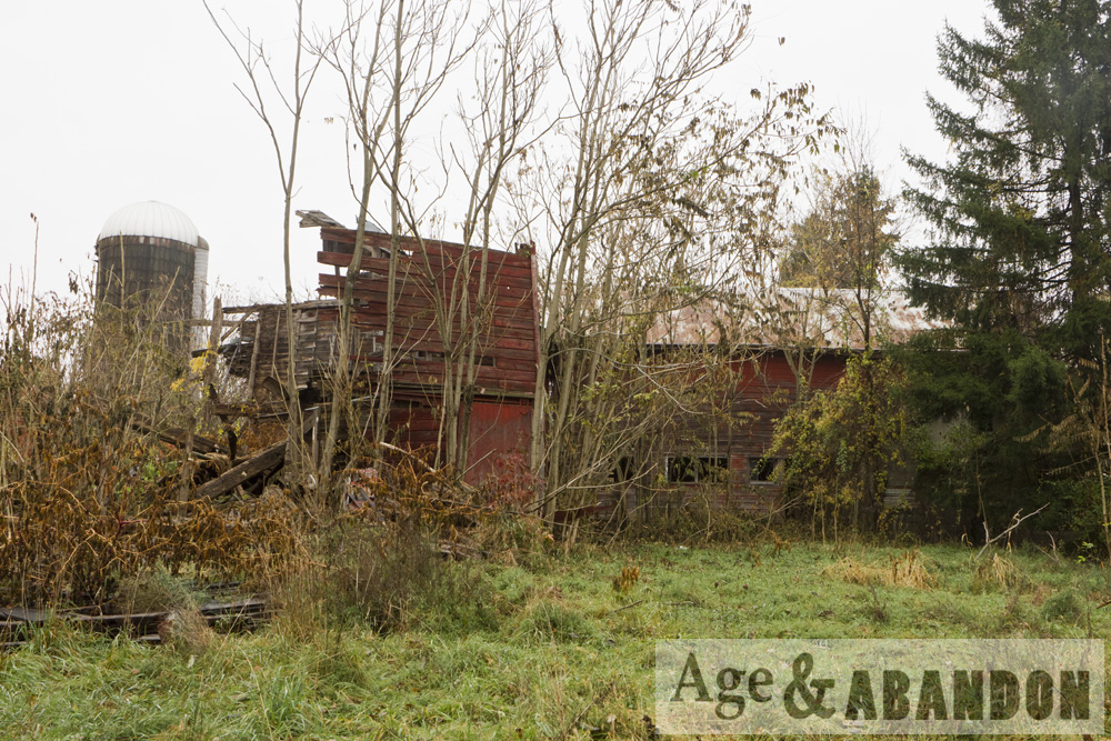
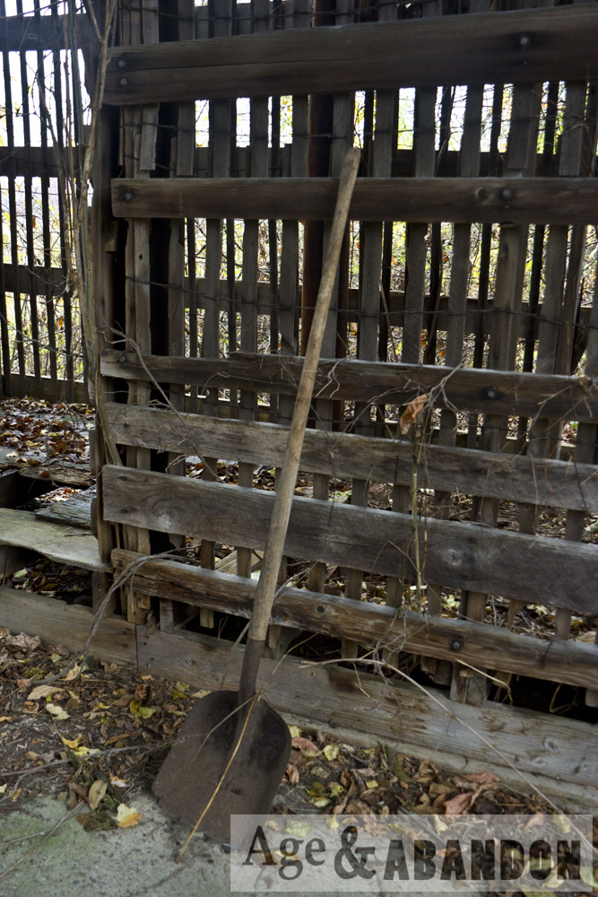
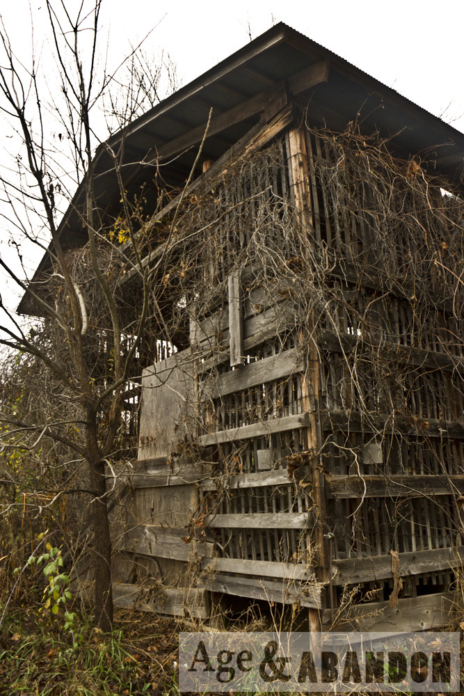
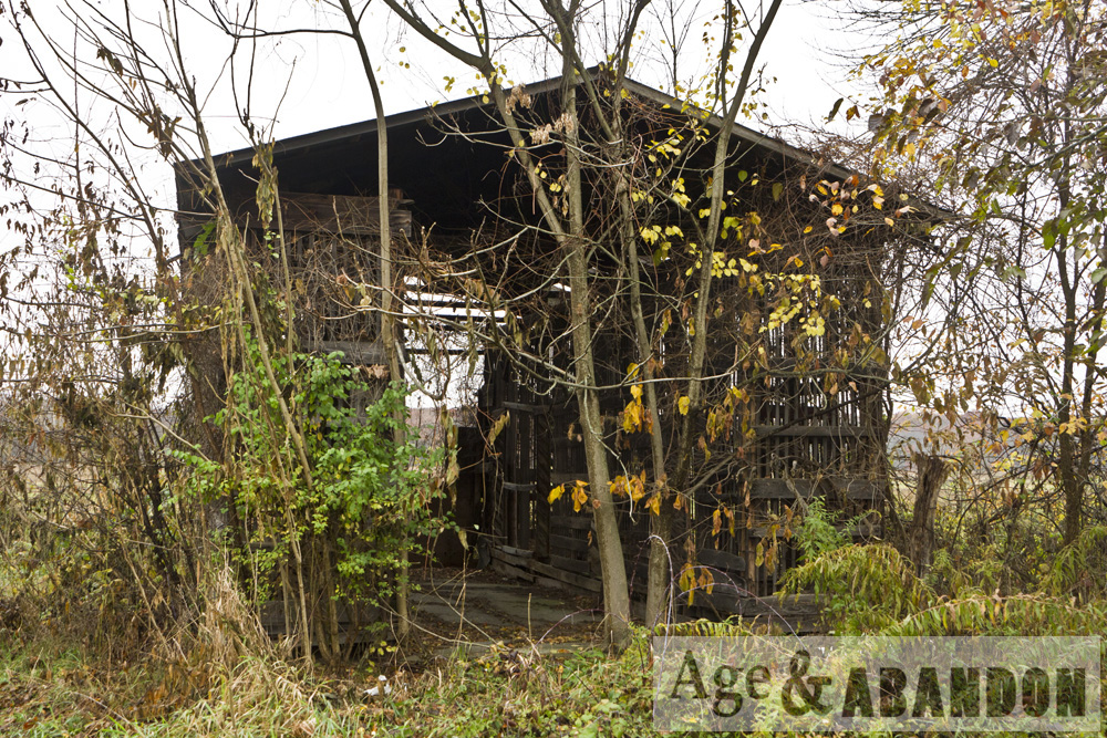
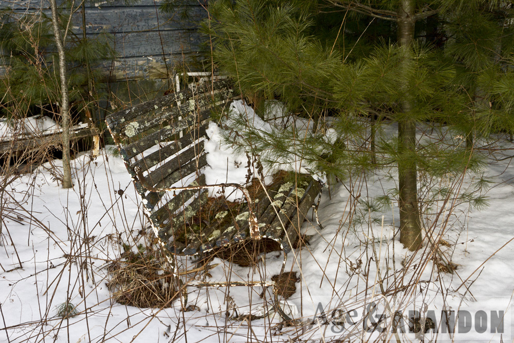
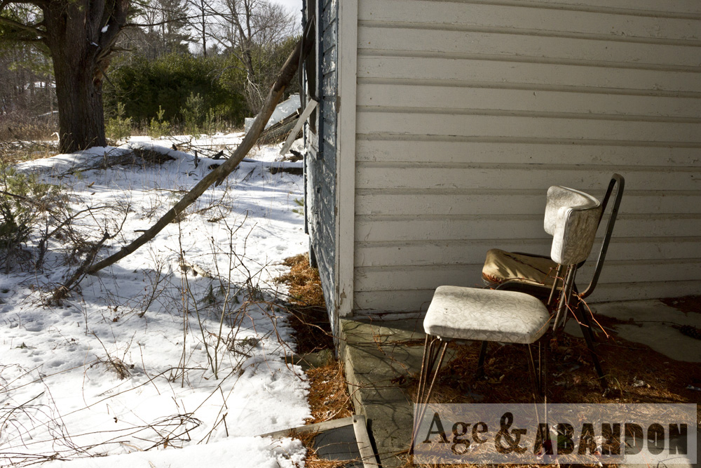
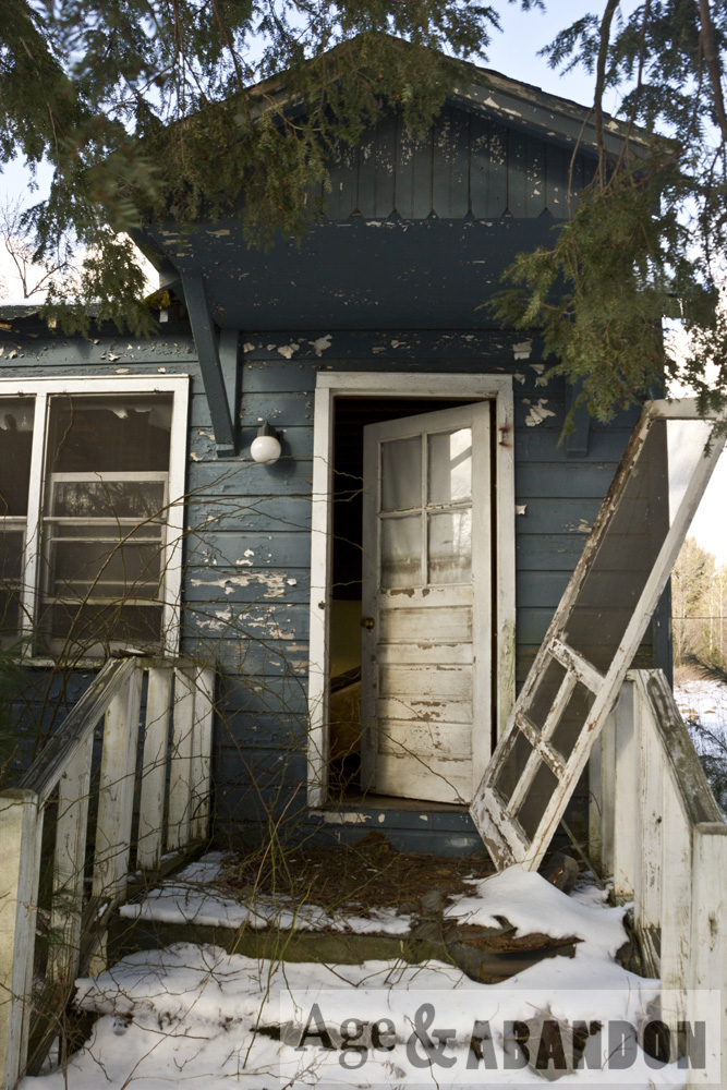
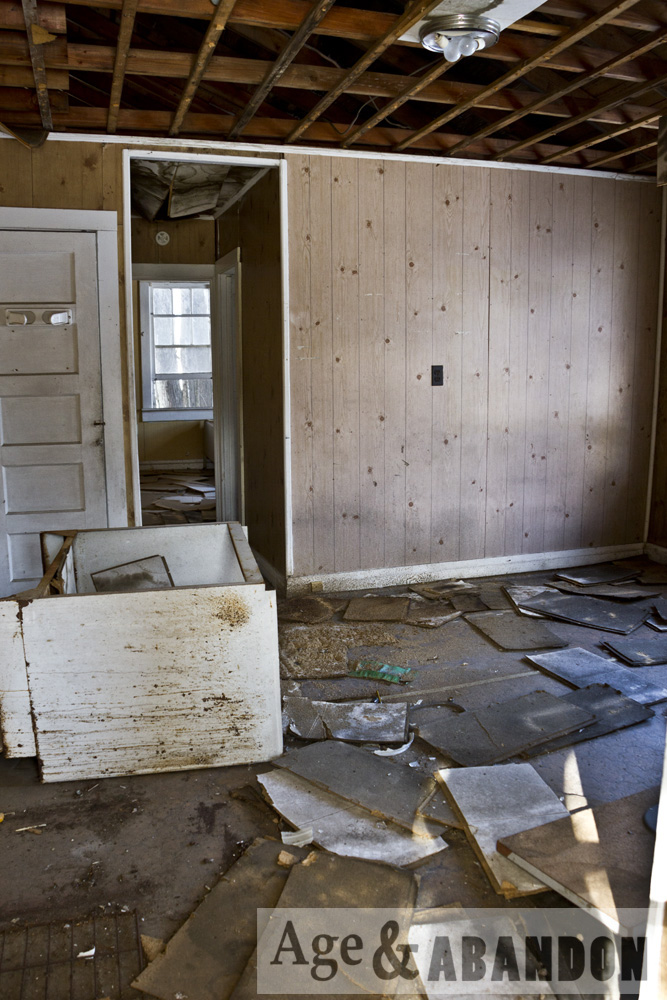
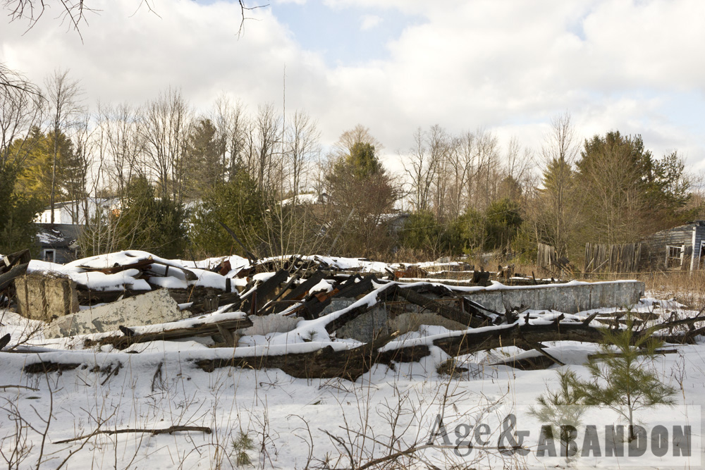
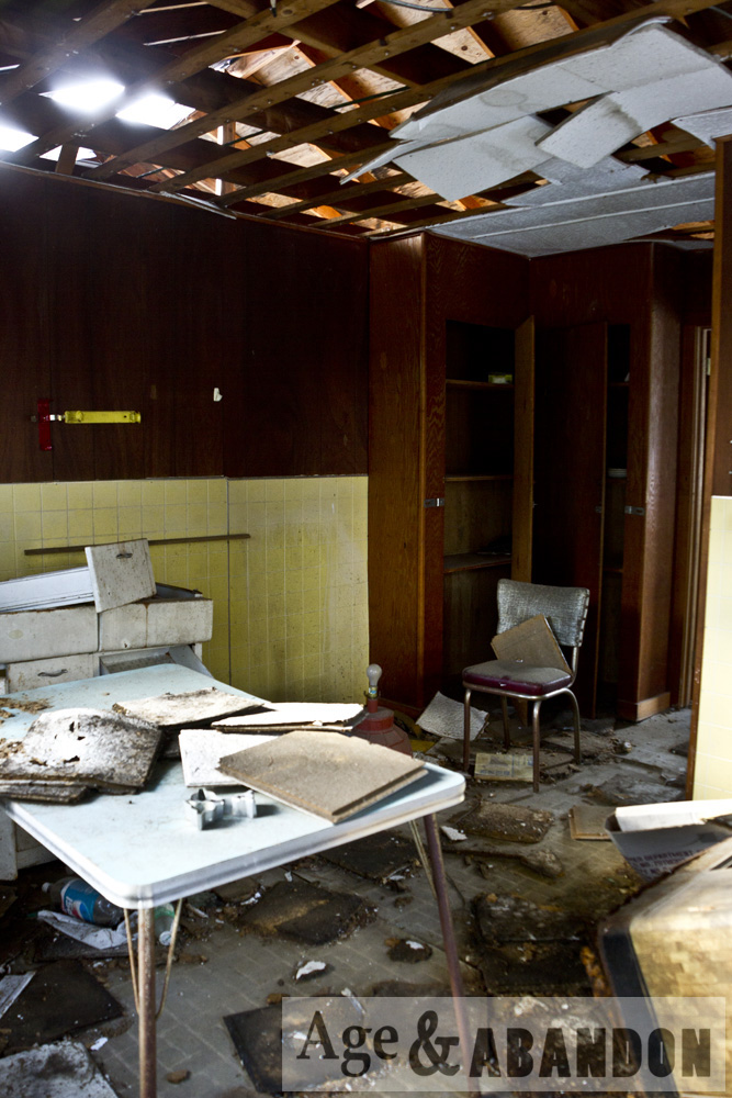
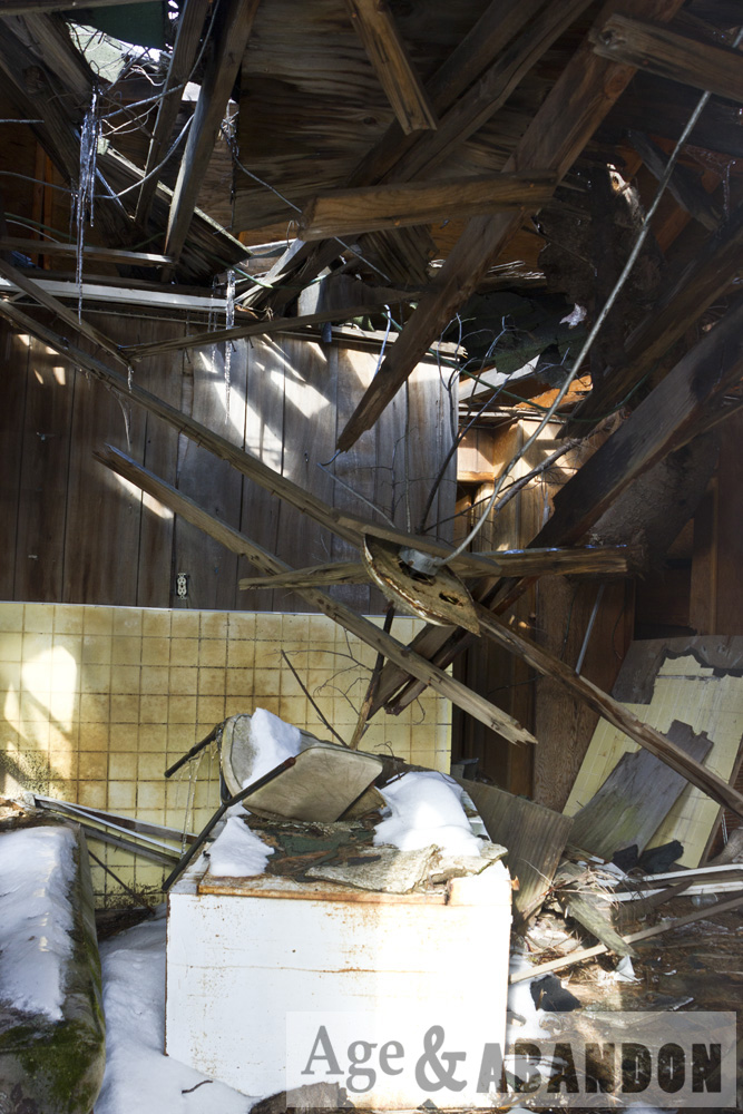
Photographs of a random abandoned farm on Route 9 just south of downtown Red Hook, NY.  I saw a bobcat while checking out this property; unfortunately I did not get a good photograph of it.

Location:  Google Maps (41.966321, -73.885258)

Last Updated on February 15, 2016 by administrator
Posted in Buildings (Agricultural) Galleries | Tagged NY, Red Hook

Greenbaum & Gilhooleys Restaurant, Wappingers Falls, NY

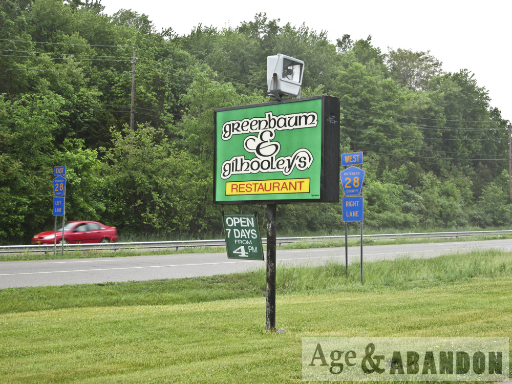
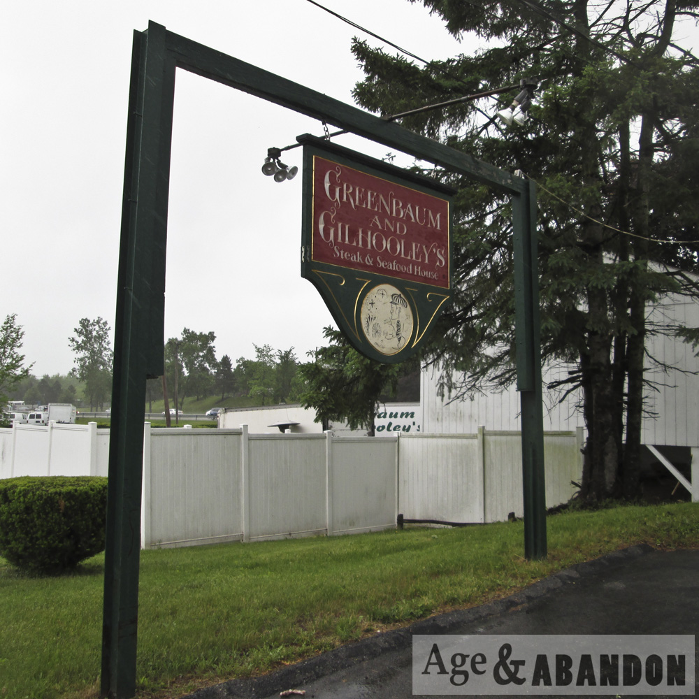
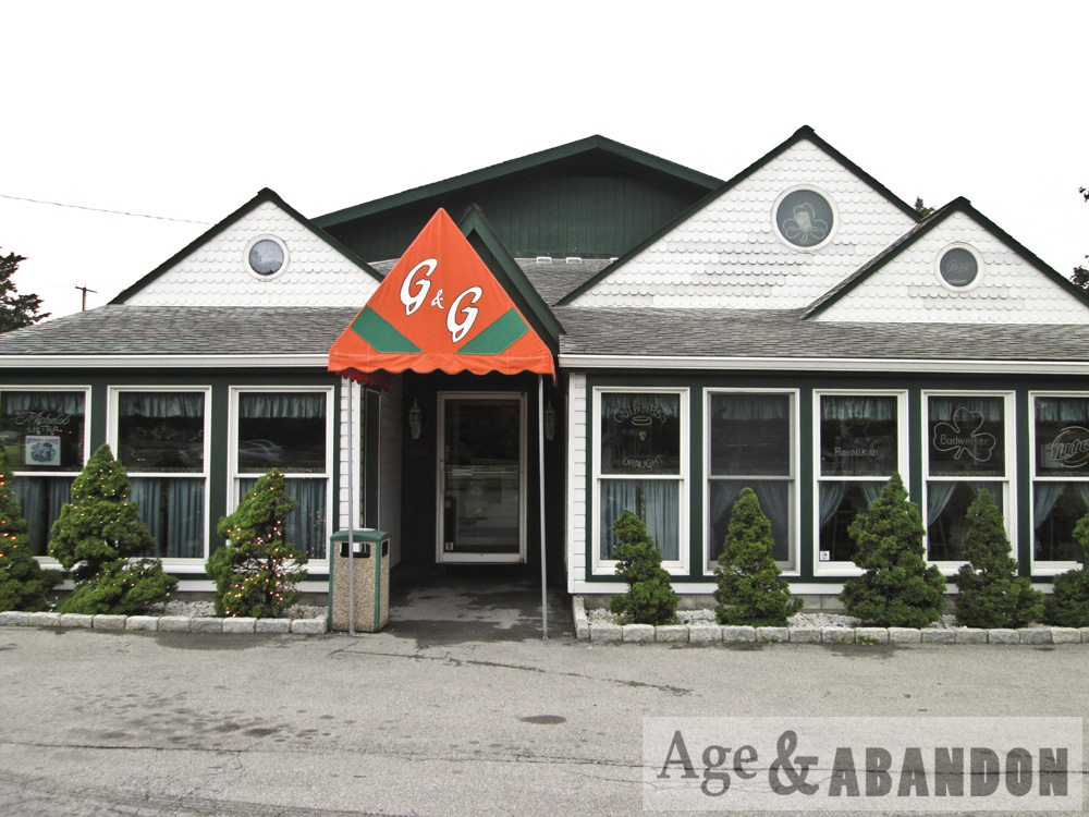
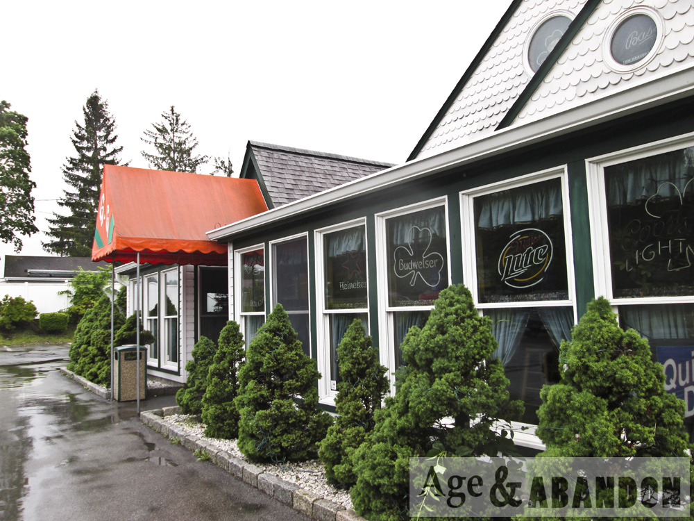
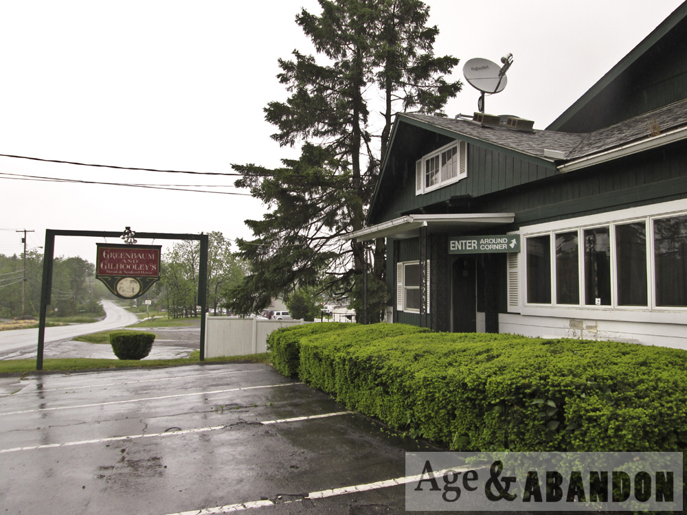
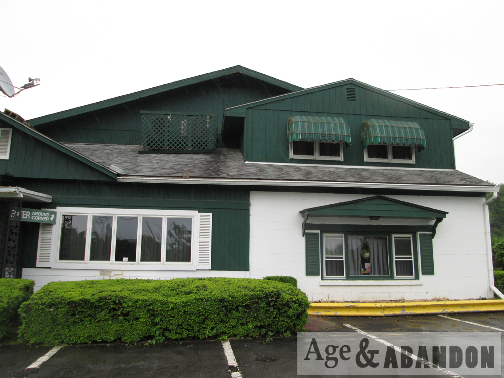
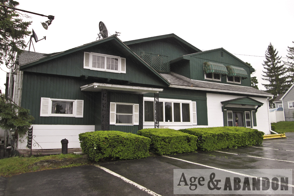
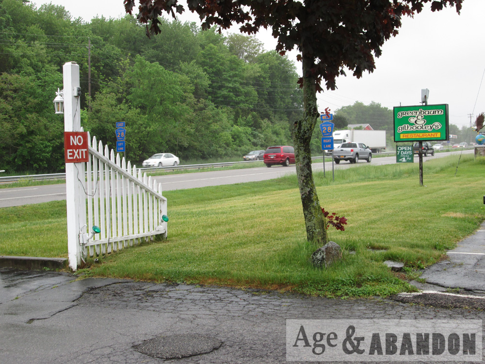
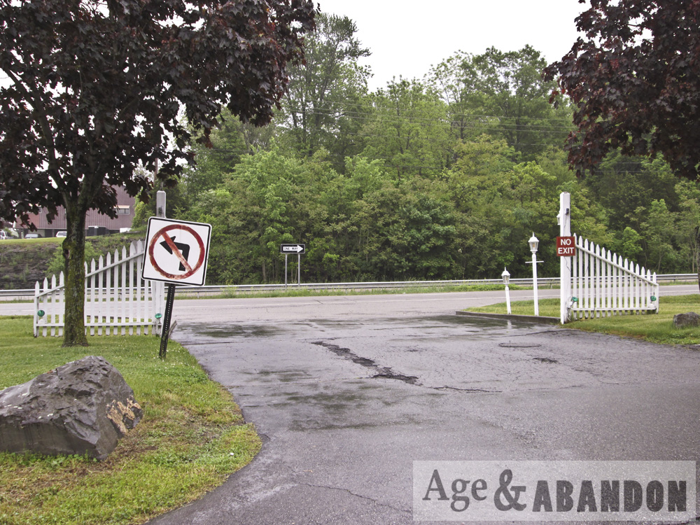
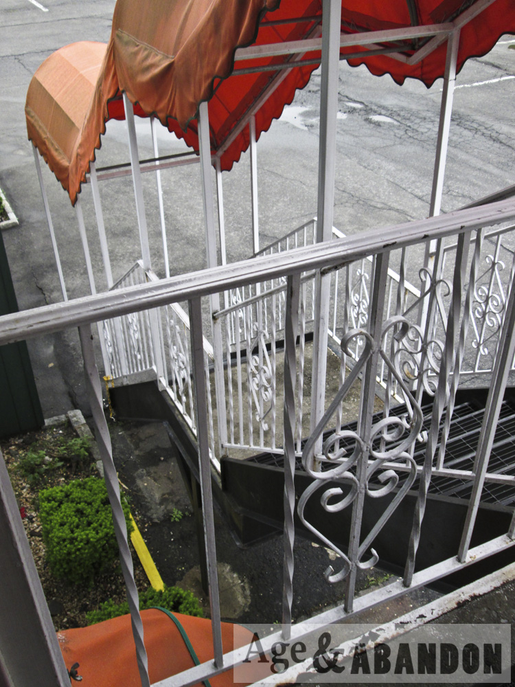
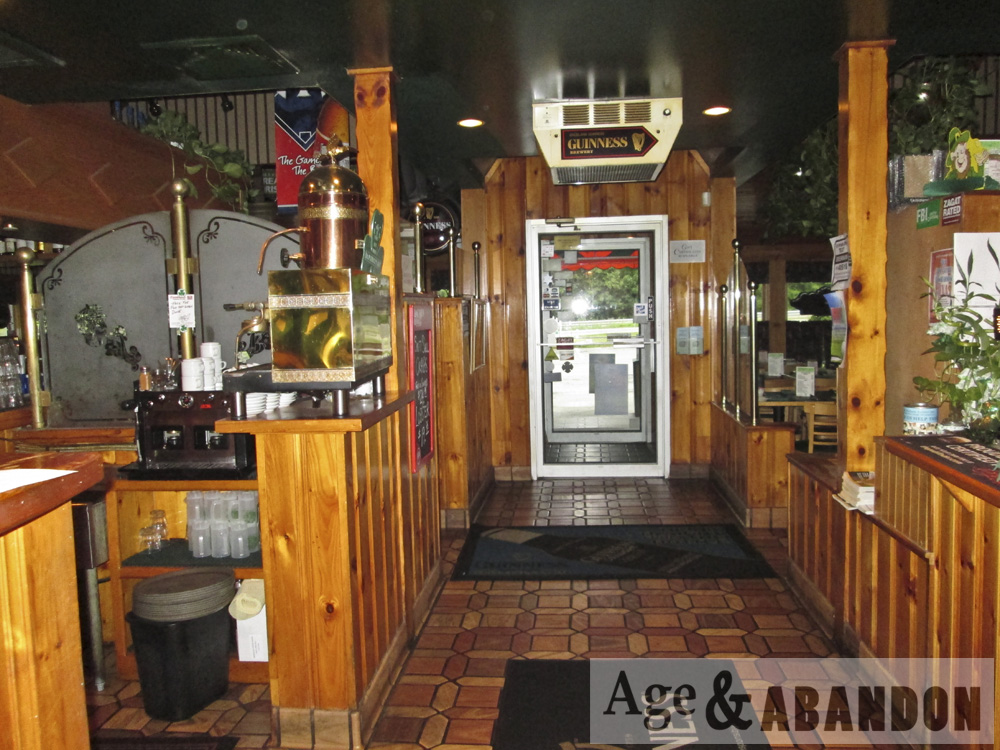
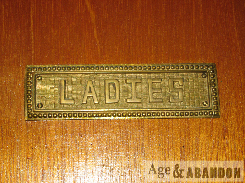
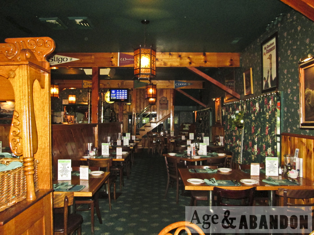
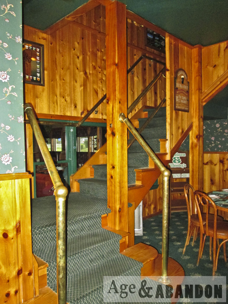
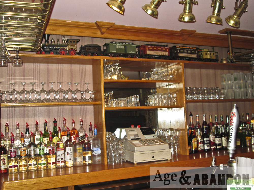
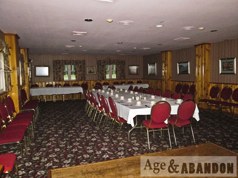
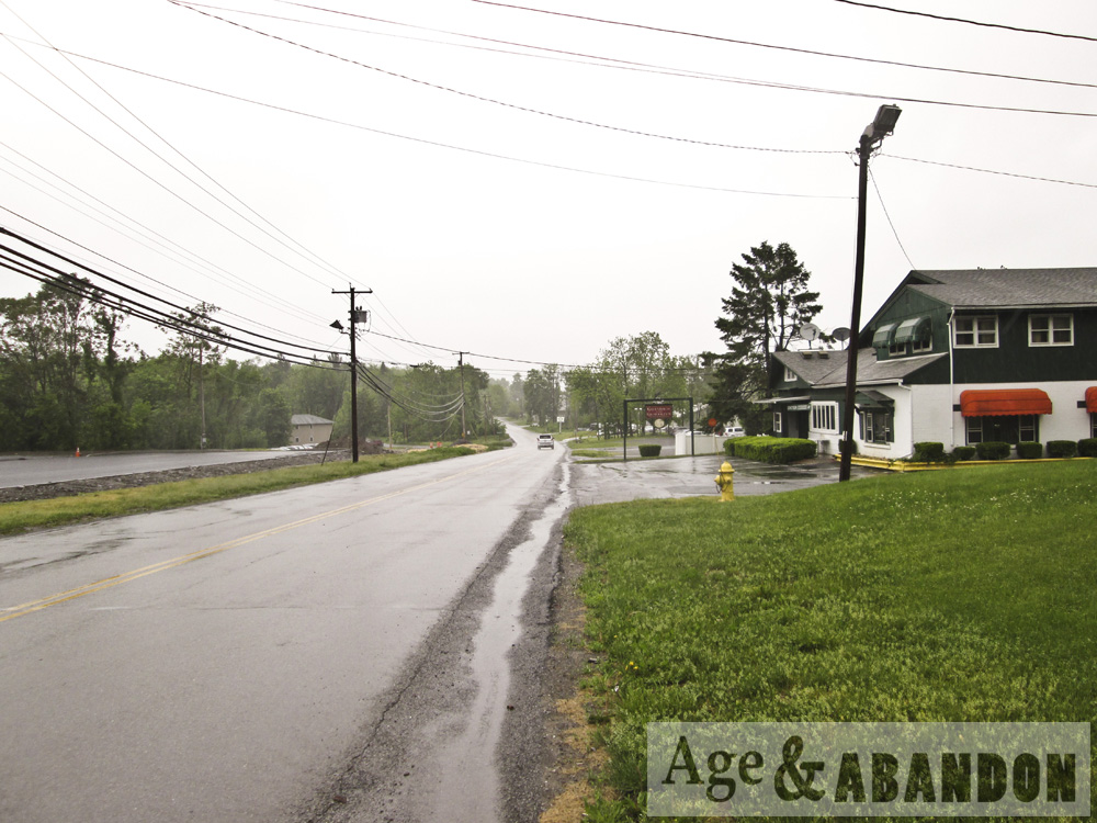
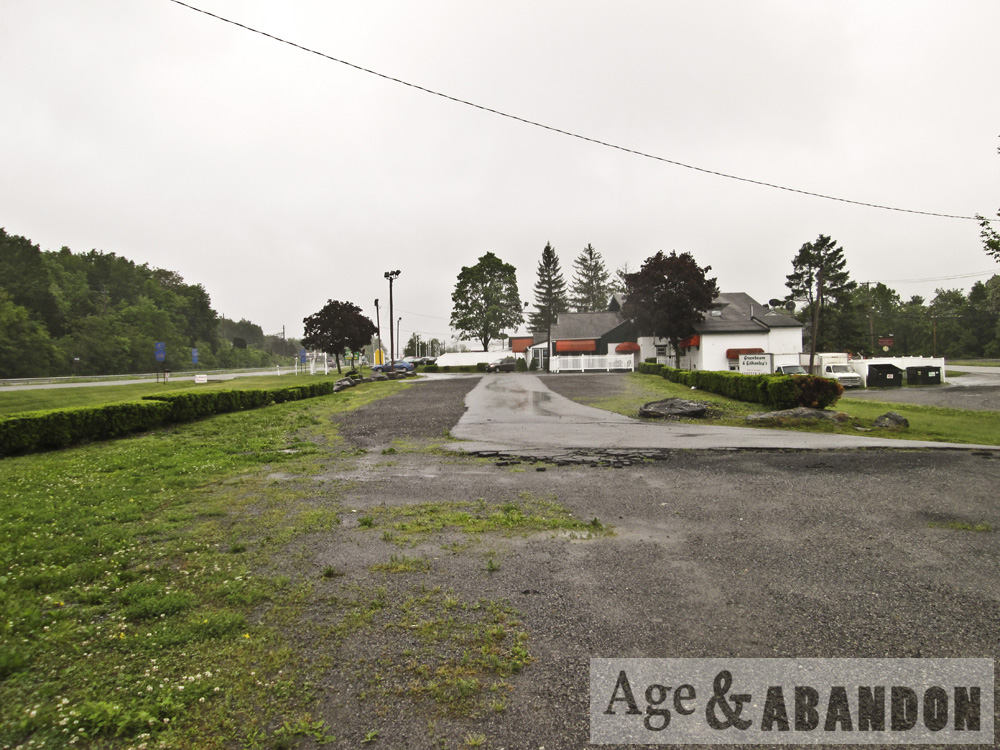
The Greenbaum & Gilhooley’s Restaurant was at 1379 Route 9 in Wappingers Falls, NY.  As of 2016, the restaurant has closed (these photos were taken a few years earlier) and its future is uncertain.

Location:  Google Maps

Last Updated on February 15, 2016 by administrator
Posted in Buildings (Commercial) Galleries | Tagged NY, Wappingers Falls

Muir Lodge, Mariposa County, CA

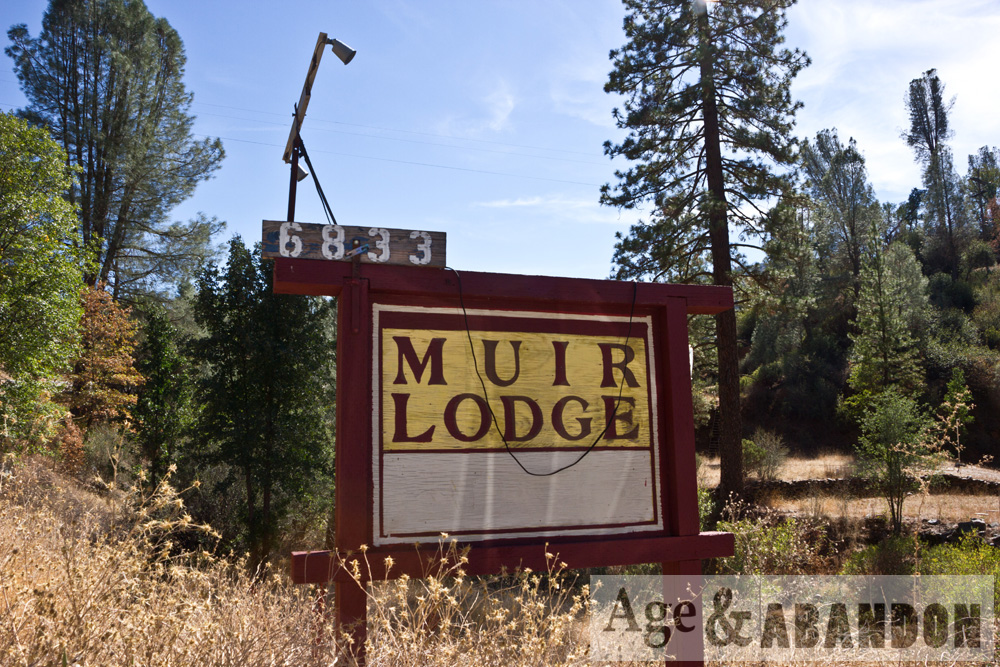
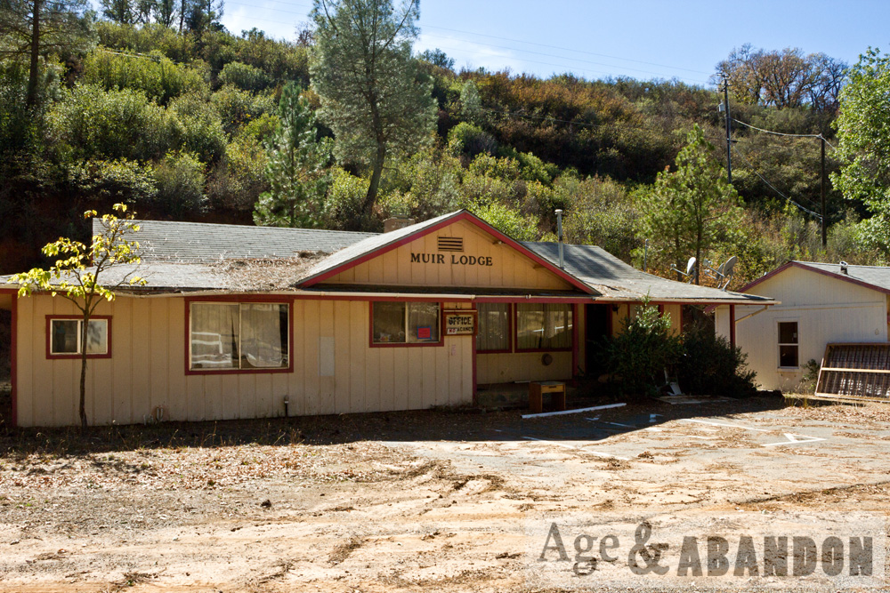
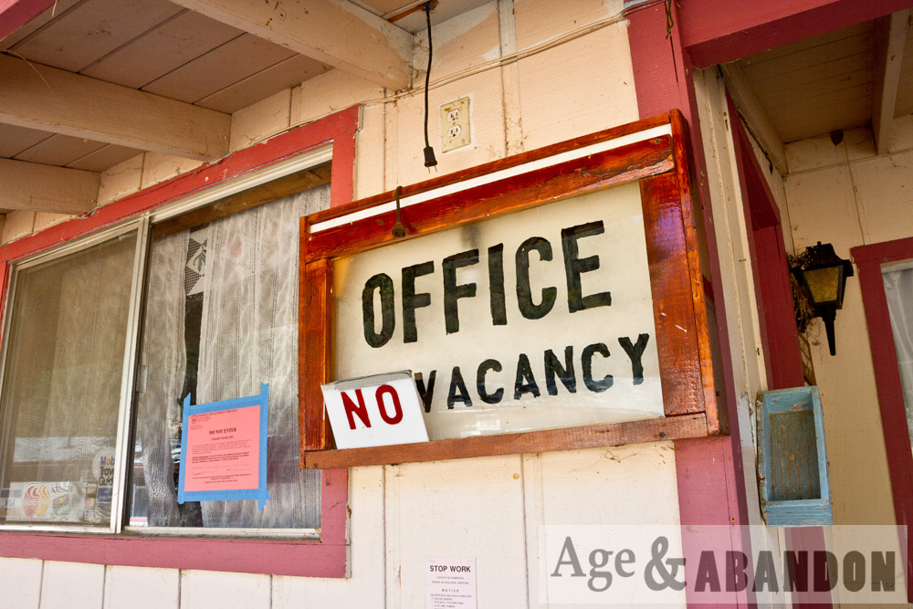
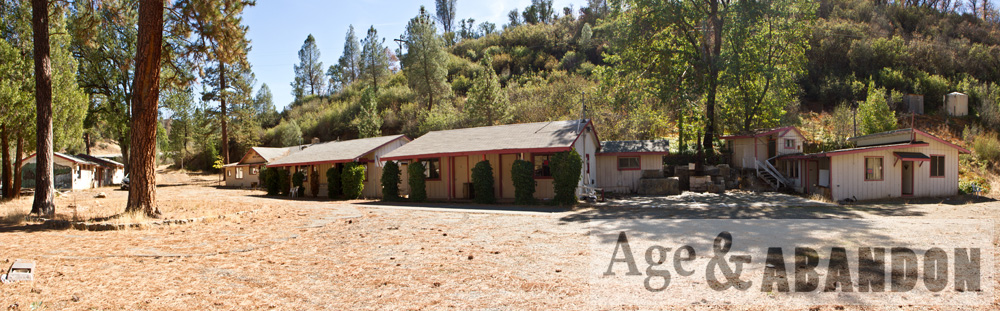
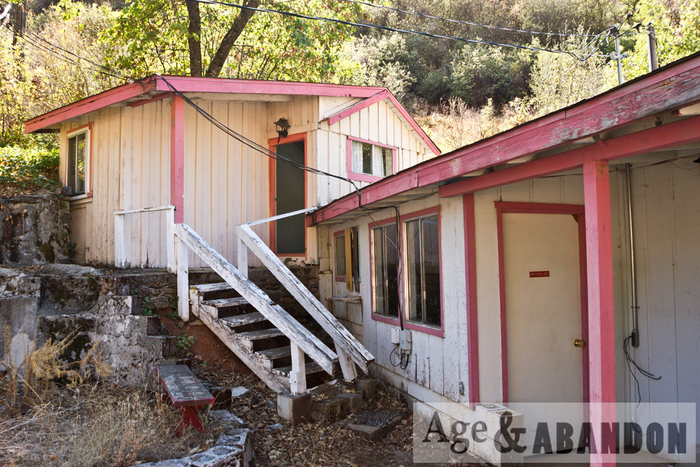
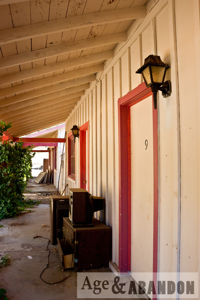
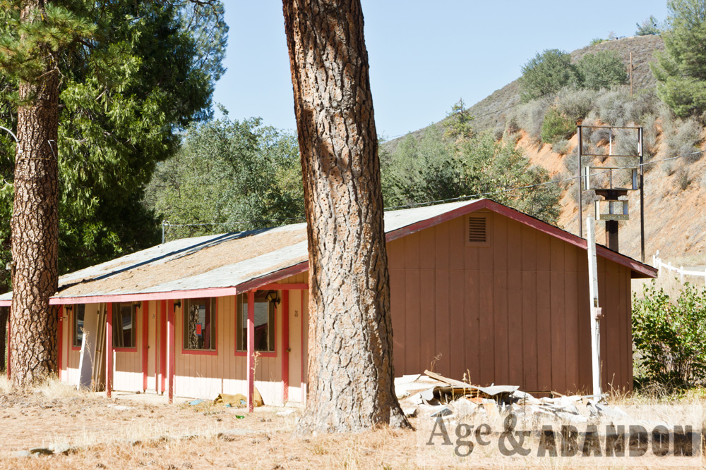
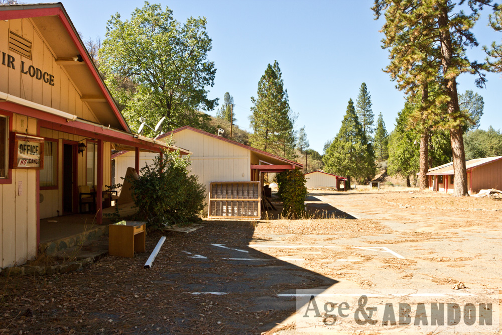
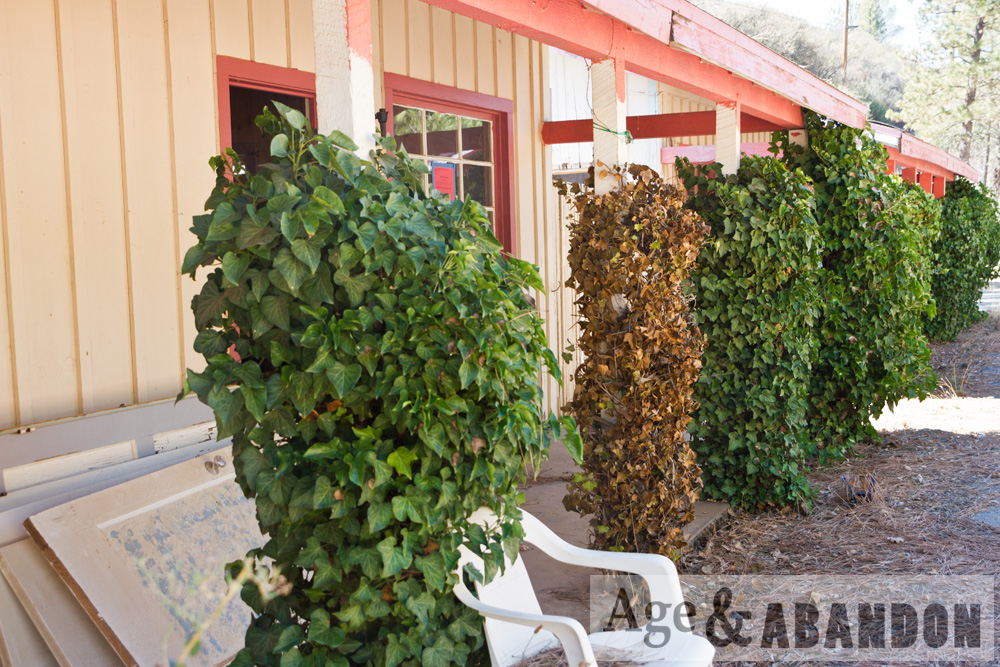
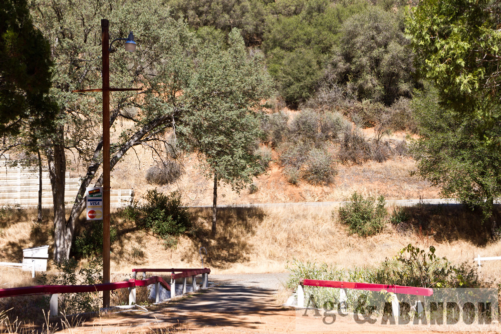
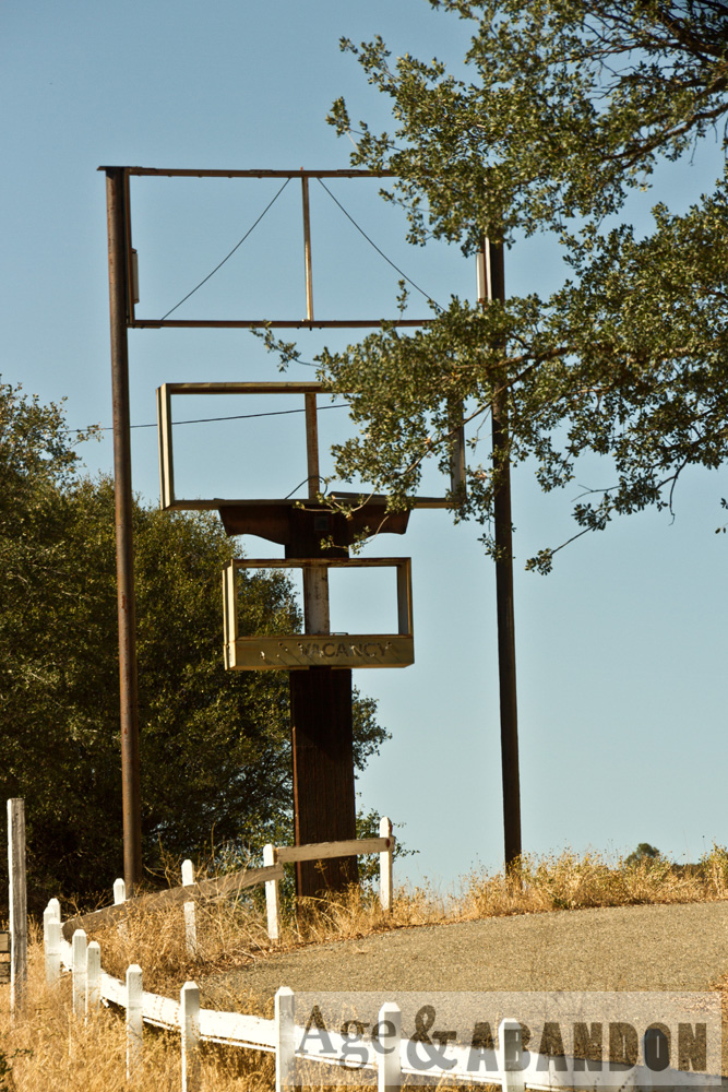
On a trip to California, I happened upon this abandoned hotel and had to stop and photograph it.  The mural is pretty cool, and the railroad tracks are a mystery.

Location:  Google Maps (37°34’22.0″N 119°56’37.9″W)

Last Updated on February 15, 2016 by administrator
Posted in Buildings (Commercial) Galleries | Tagged CA, Mariposa County

Bungalow Camp, Greenfield, NY

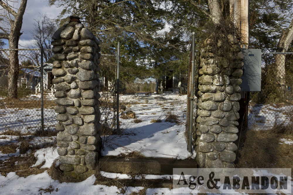
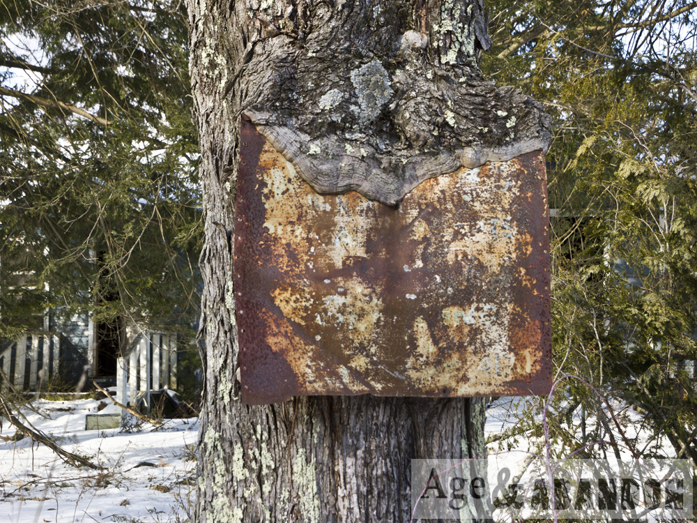
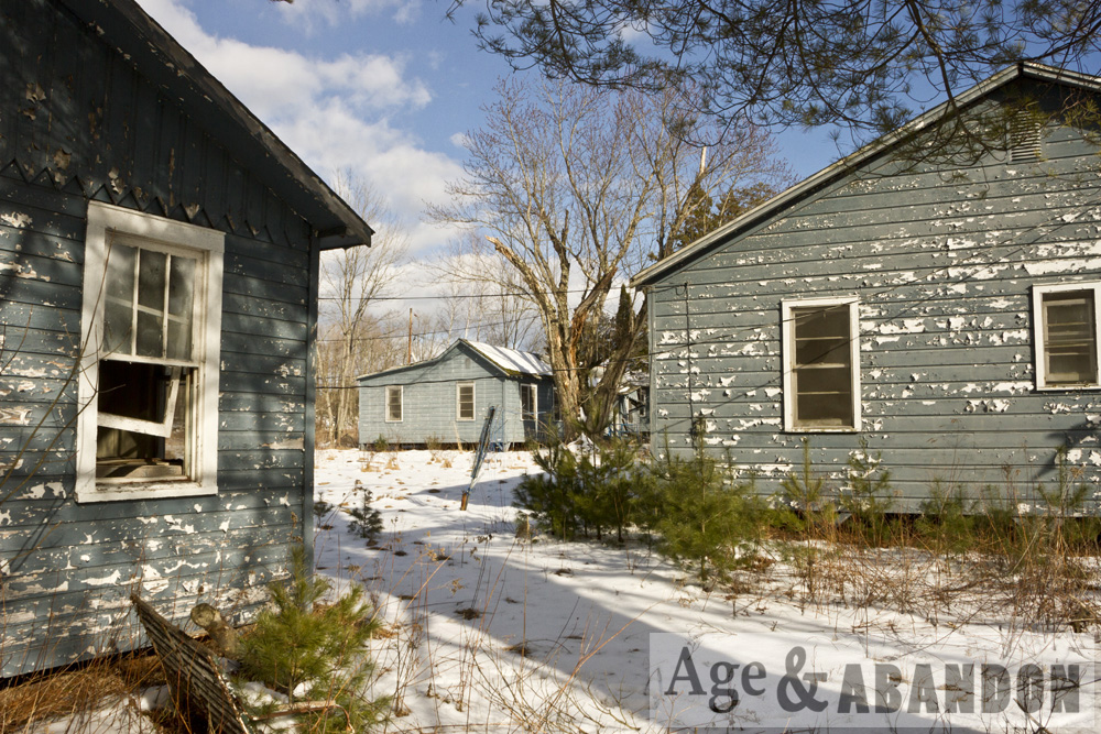
Photos of an abandoned bungalow camp in Greenfield, NY.

Location: Google Maps (41°44’07.1″N 74°30’19.9″W)

Last Updated on February 15, 2016 by administrator
Posted in Buildings (Residential) Galleries | Tagged Greenfield, NY

Catskill Aqueduct, Gardiner, NY

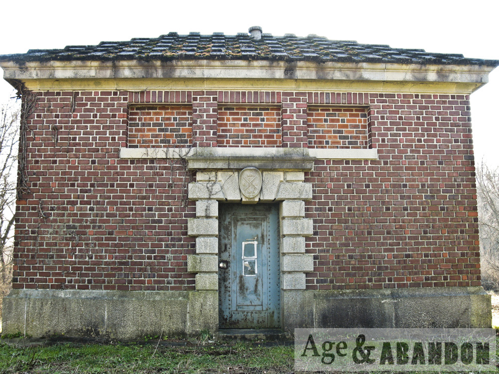
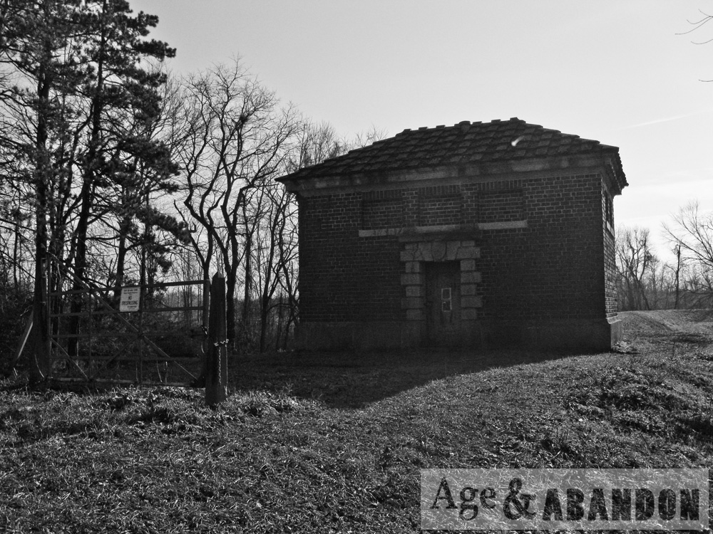
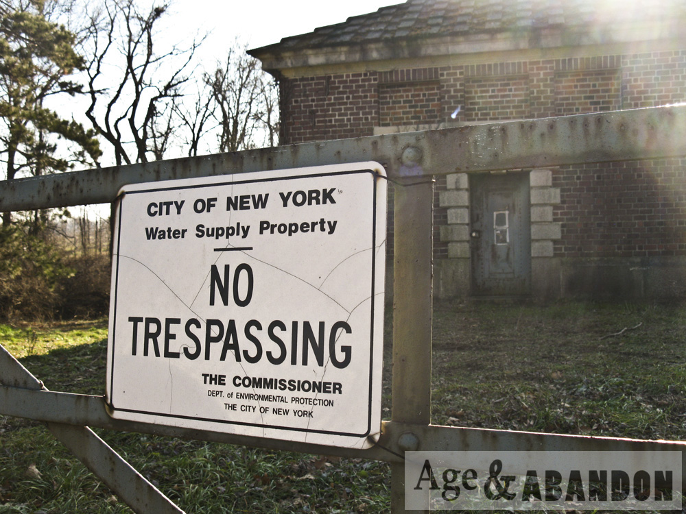
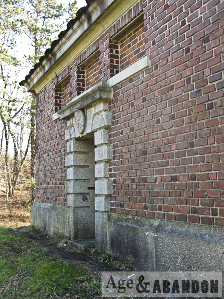
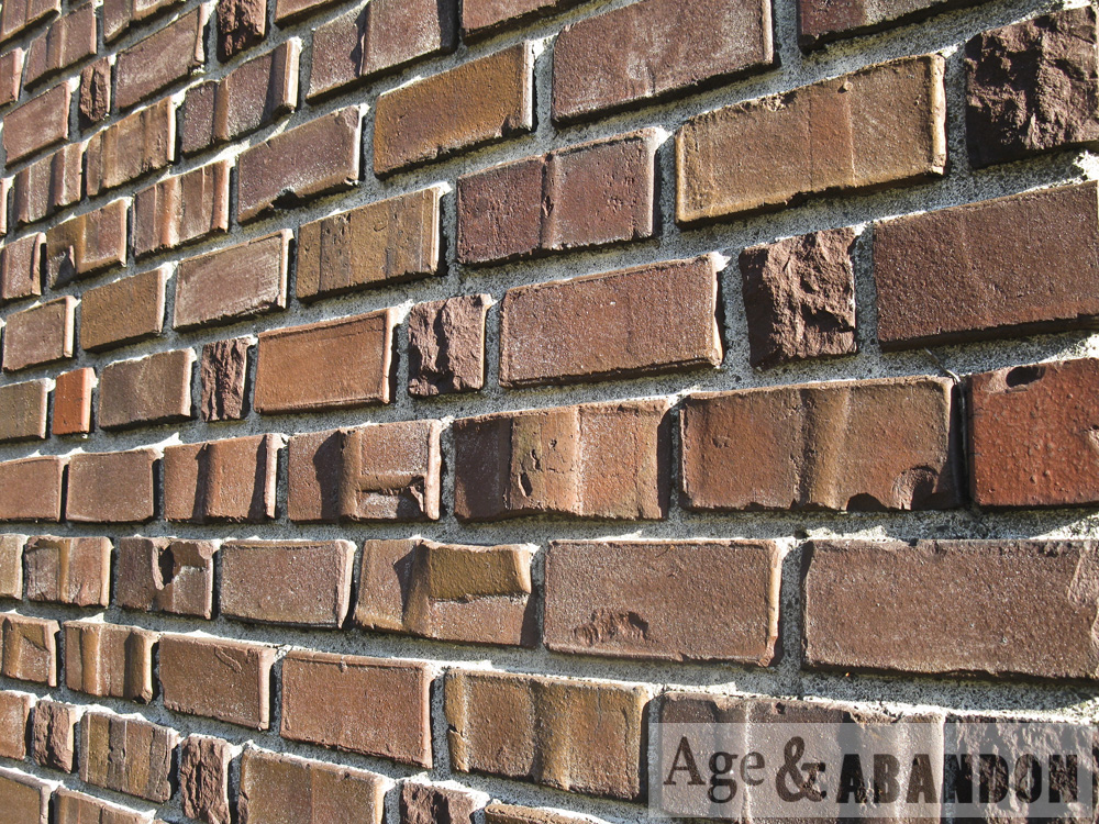
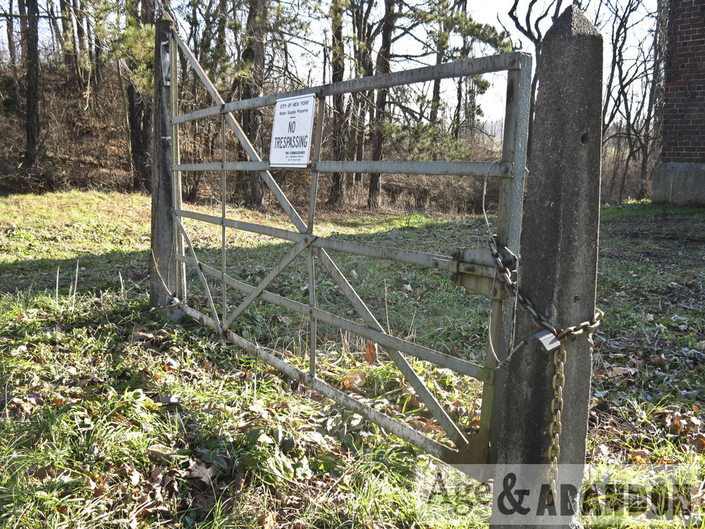
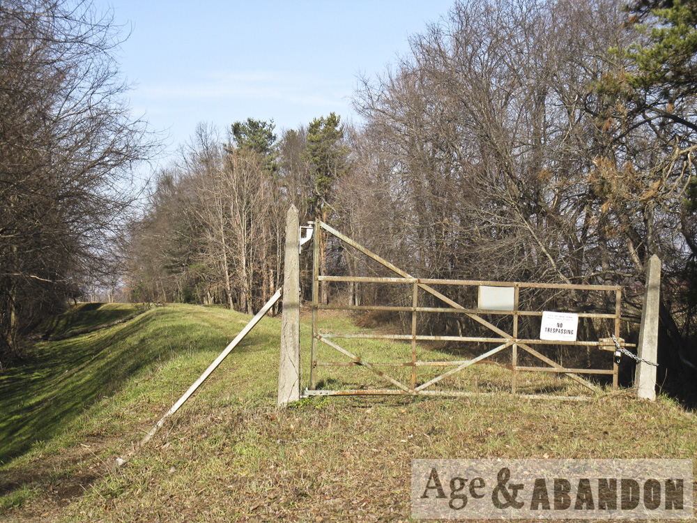
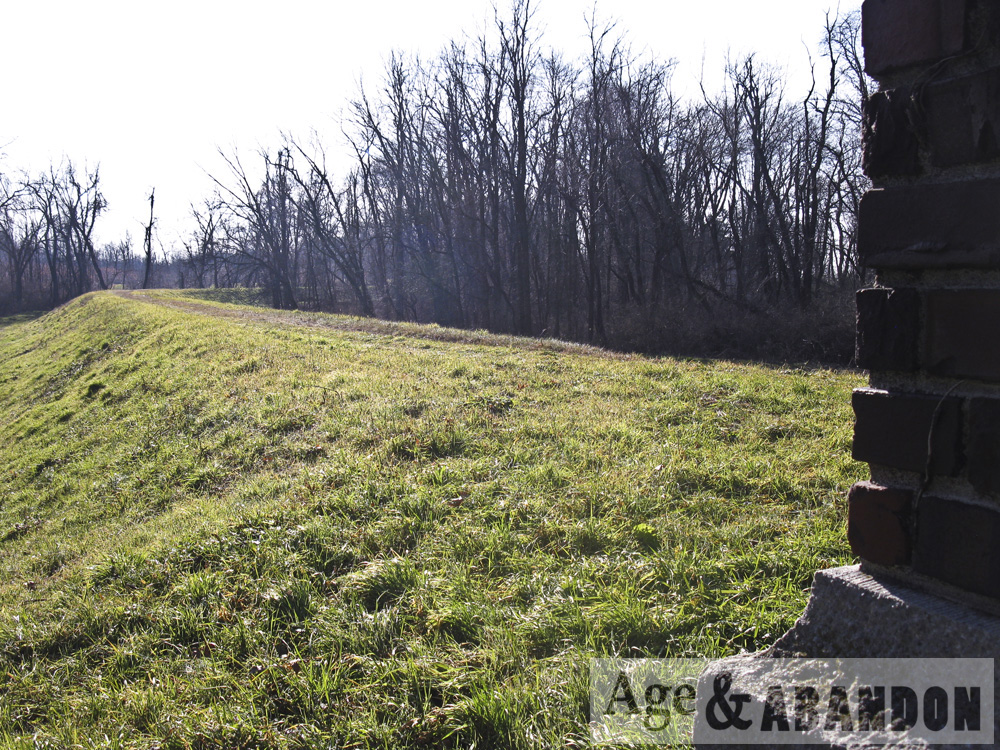
Below are photos of the Catskill Aqueduct as it crosses Route 44/Main Street in Gardiner, NY.

Location: Google Maps (41.674288, -74.130696)

Last Updated on December 9, 2017 by administrator
Posted in Infrastructure Galleries | Tagged Gardiner, NY

Vassar College Swift Hall Renovations, Poughkeepsie, NY

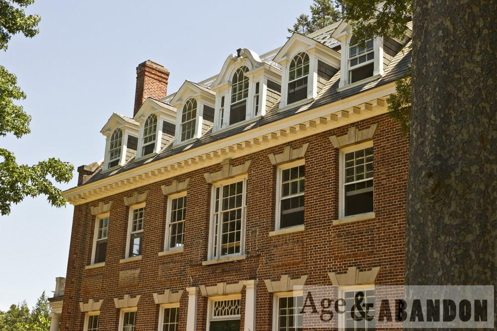
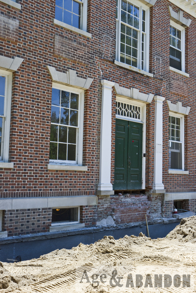
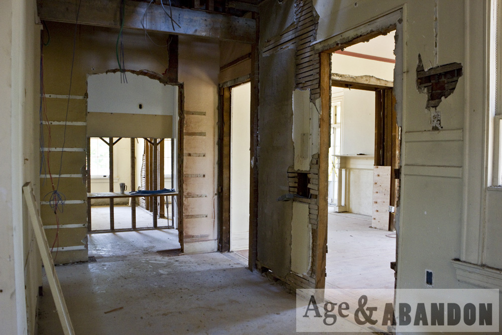
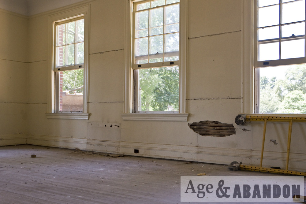
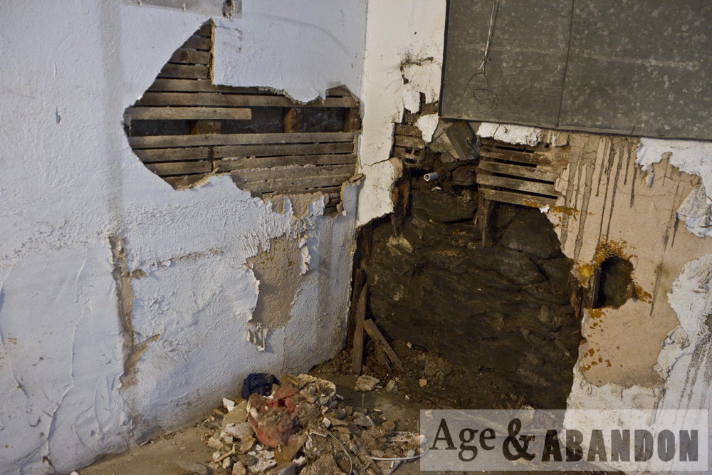
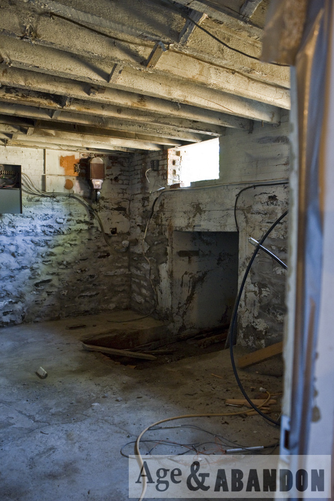
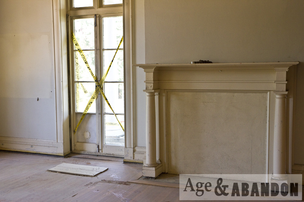
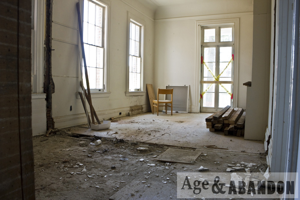
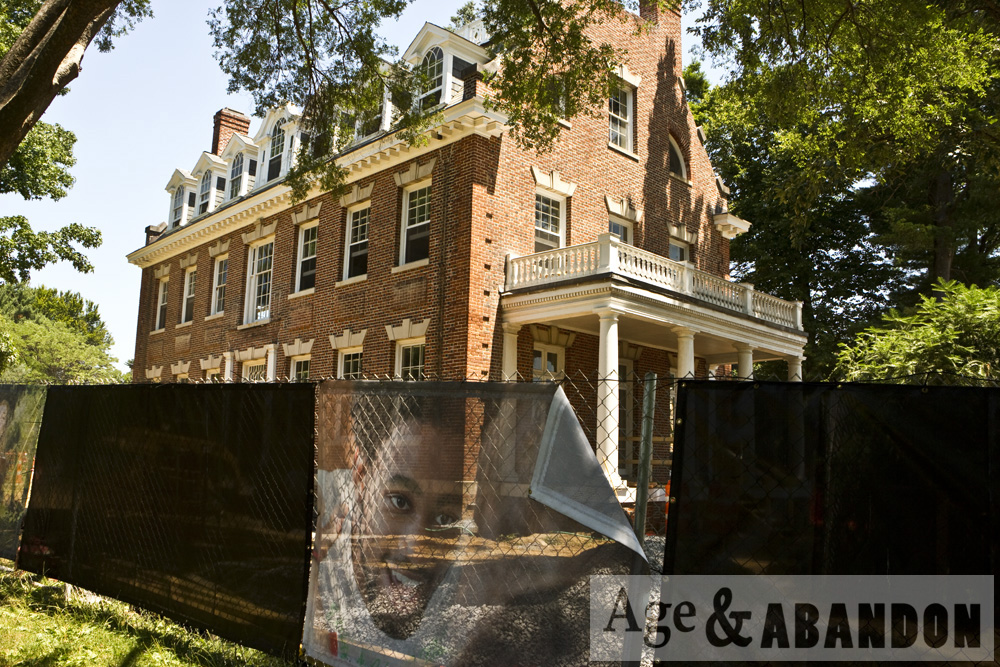
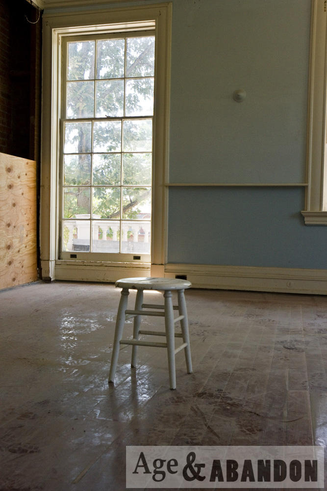
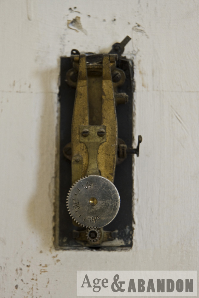
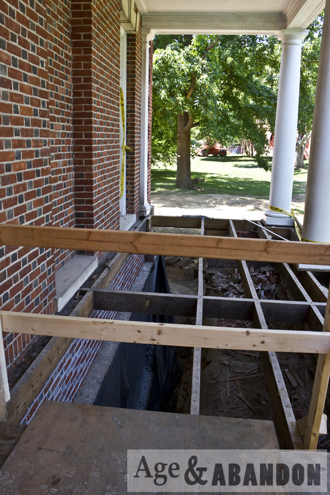
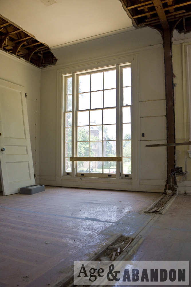
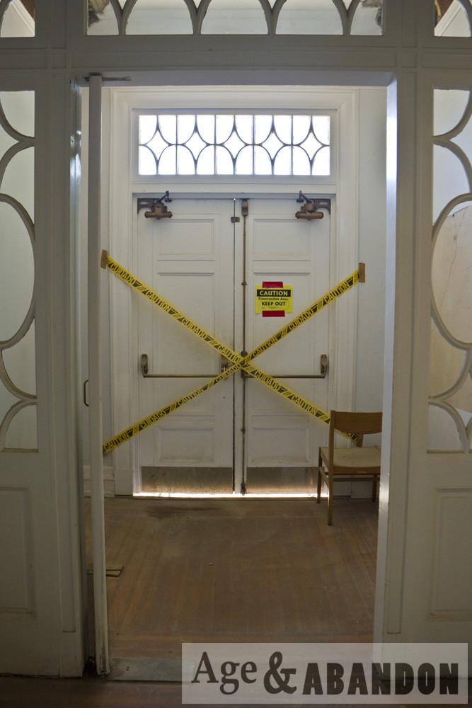
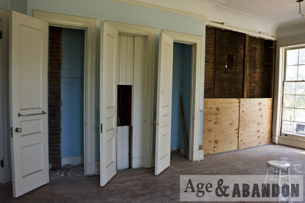
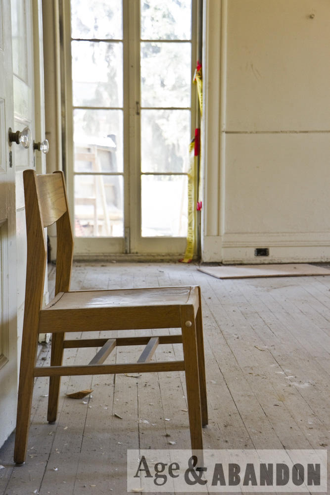
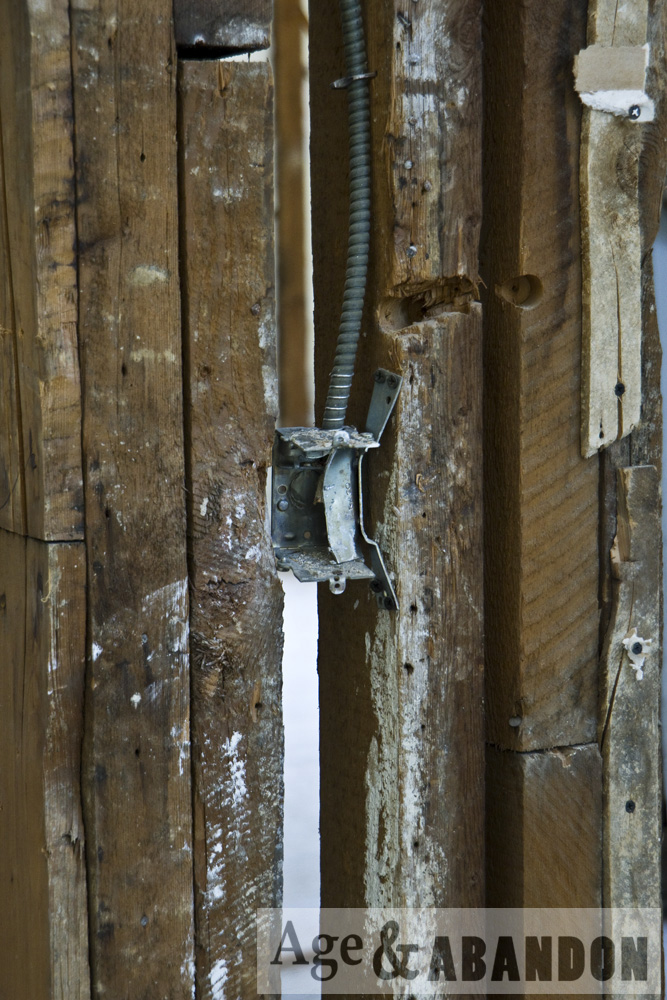
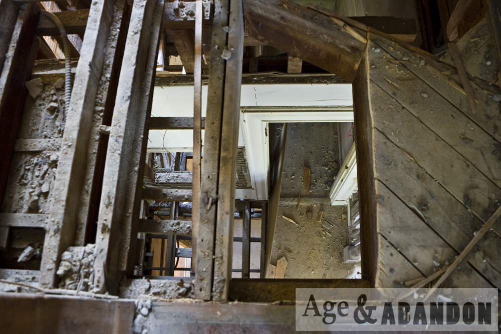
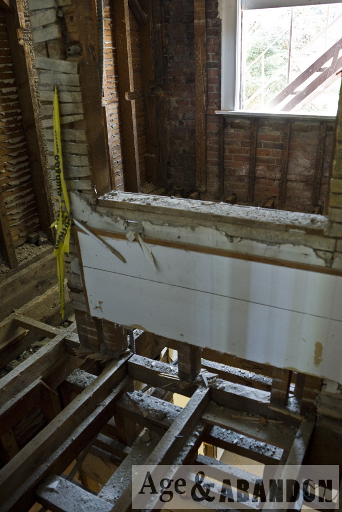
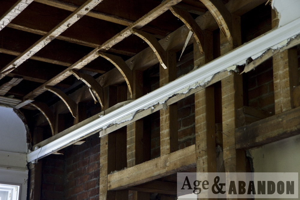
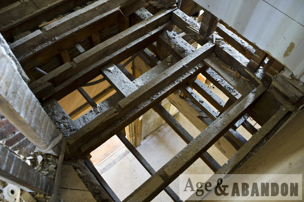
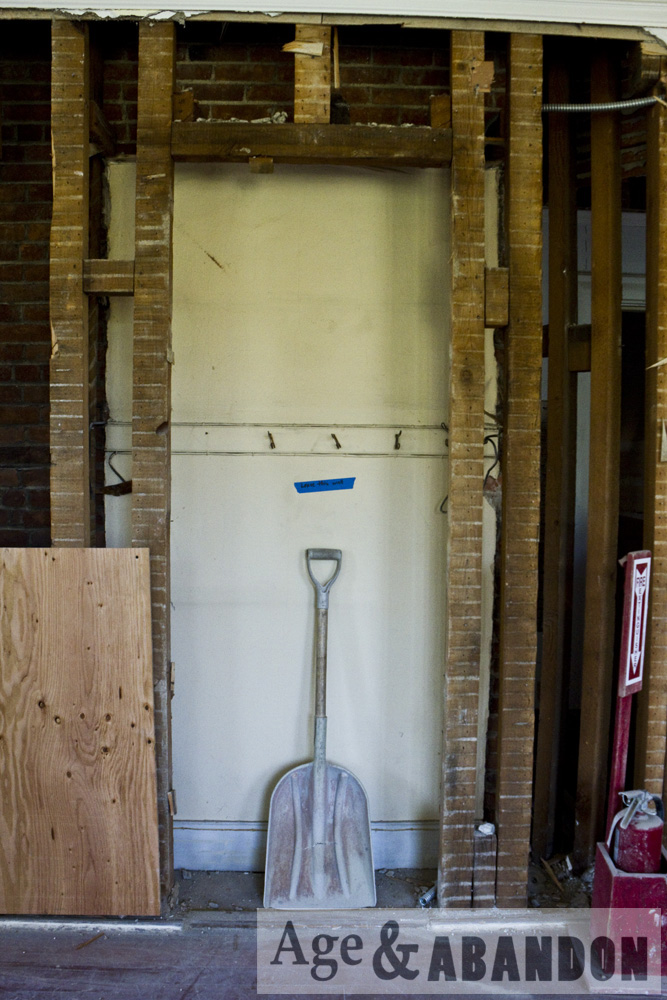
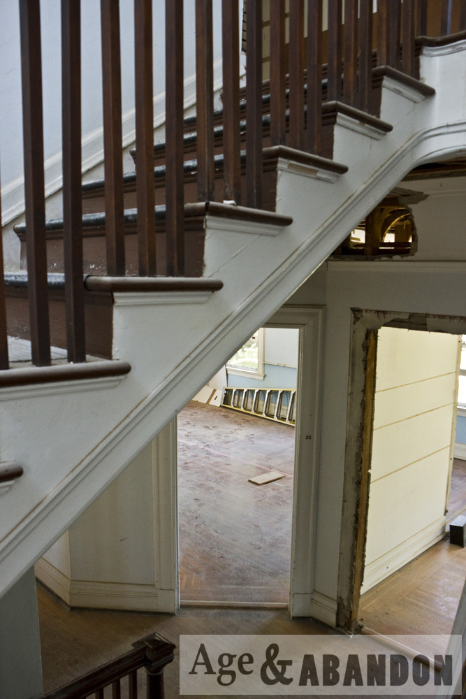
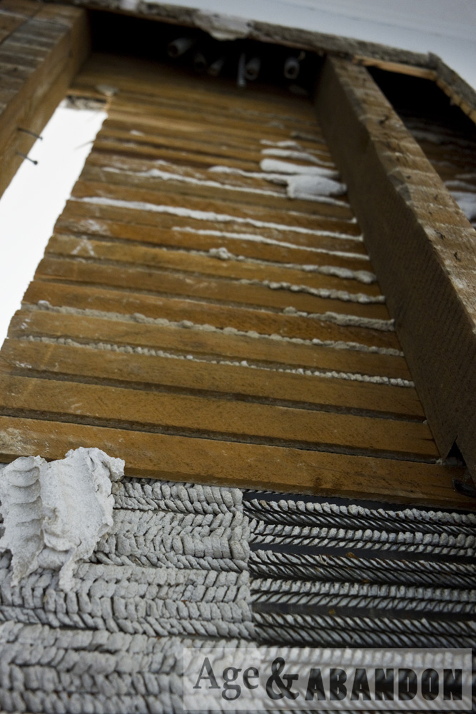
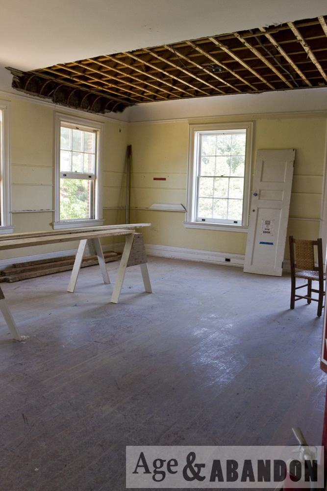
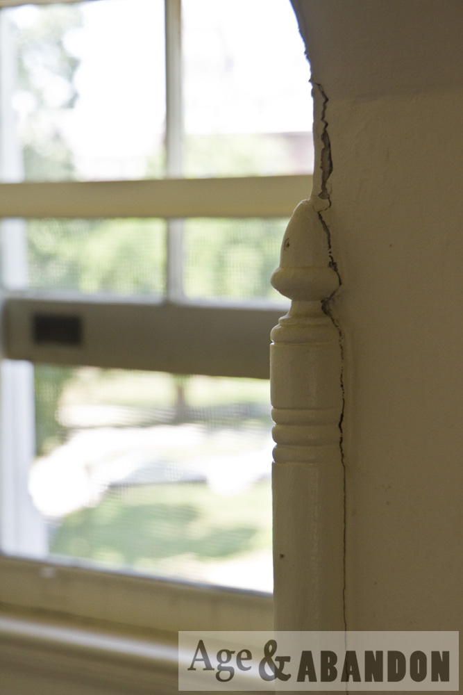
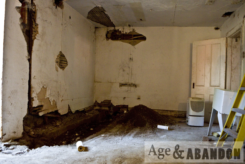
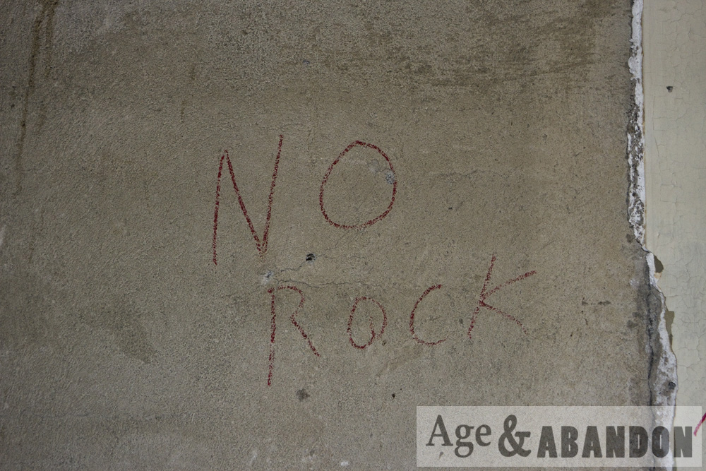
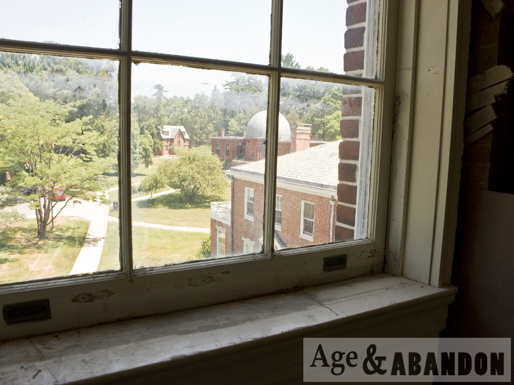
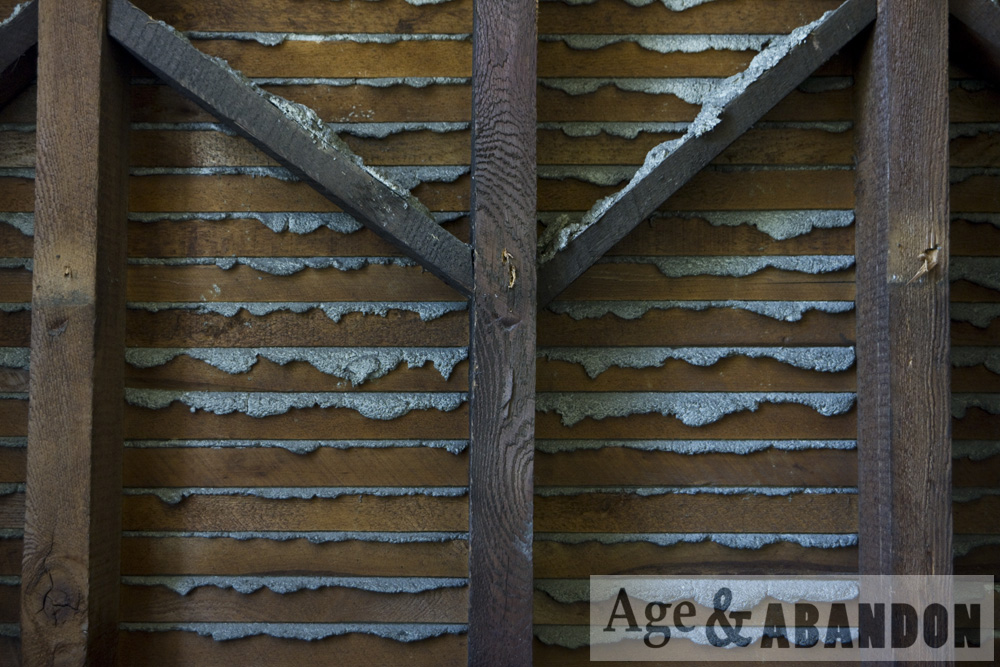
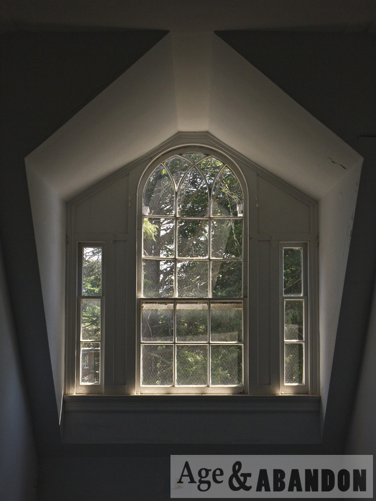
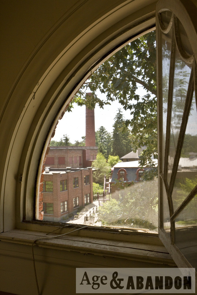
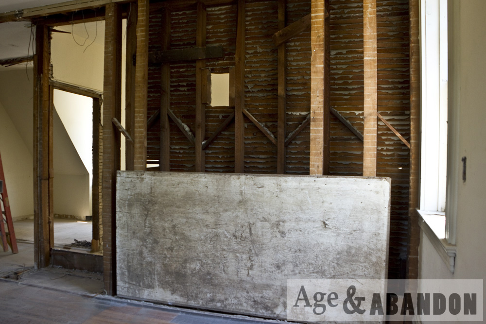
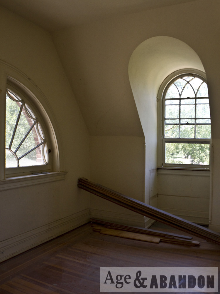
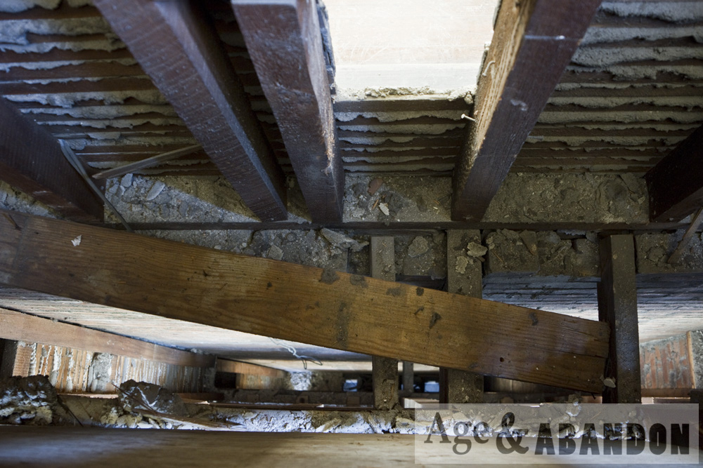
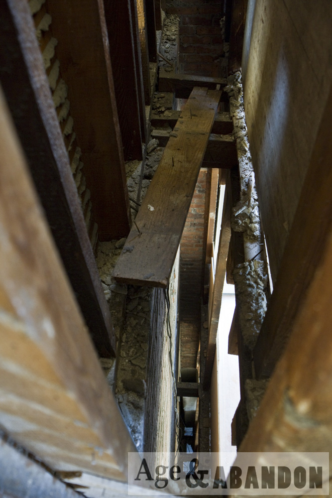
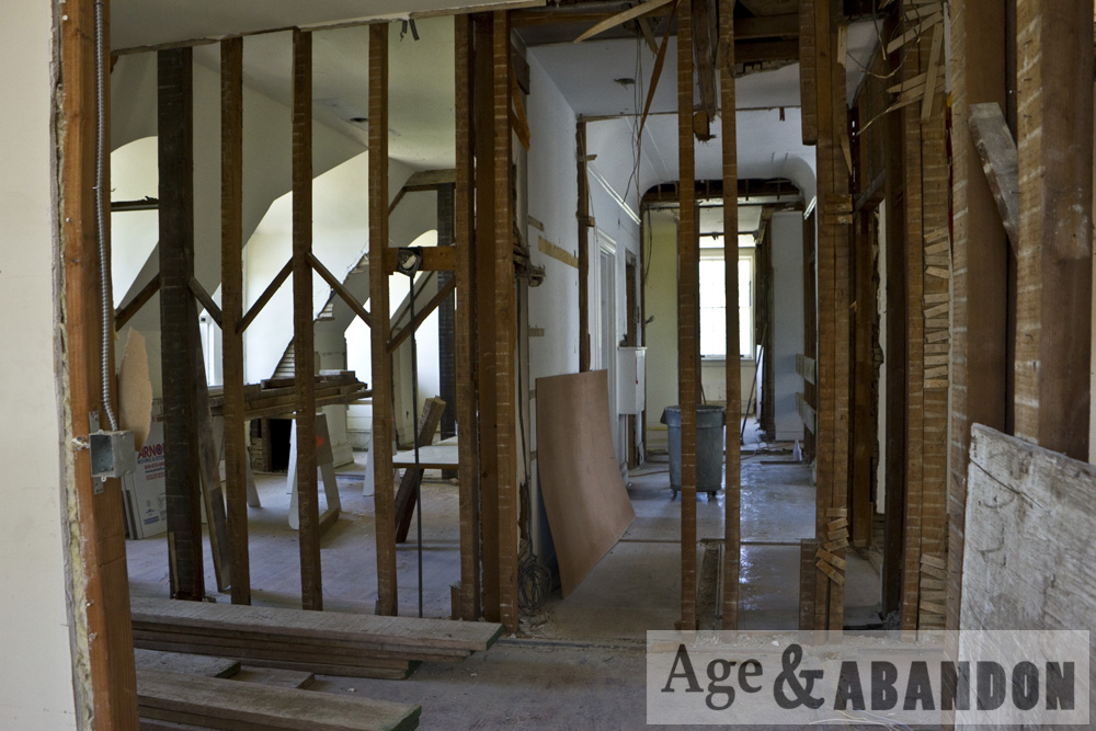
A few years ago (~2013) Swift Hall on the campus of Vassar College was being renovated.  I was given the opportunity to photograph the building while parts of its walls were removed.

Location:  Google Maps

Last Updated on February 10, 2016 by administrator
Posted in Buildings (Miscellaneous) Galleries | Tagged NY, Poughkeepsie

Methodist Ground Cemetery, Pleasant Valley, NY

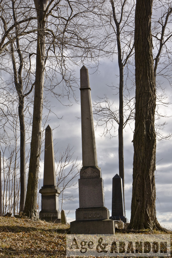
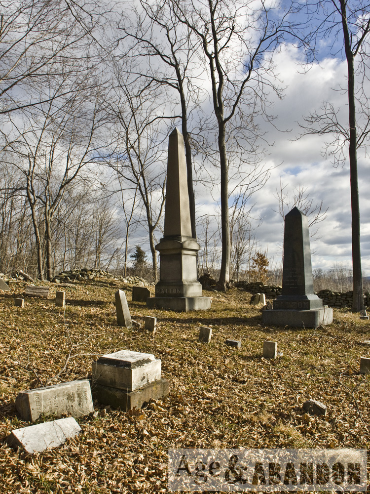
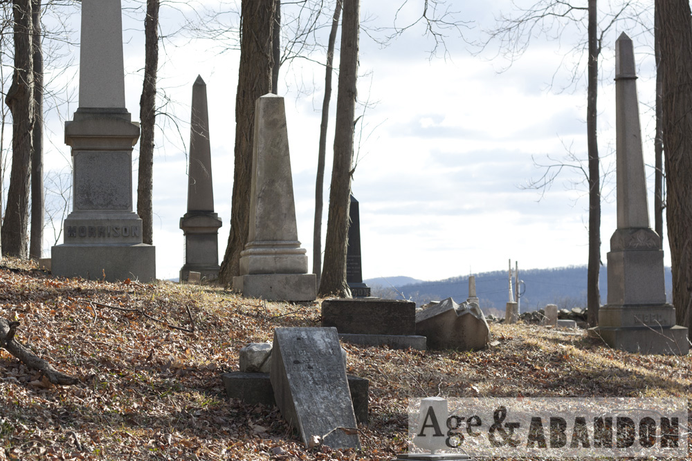
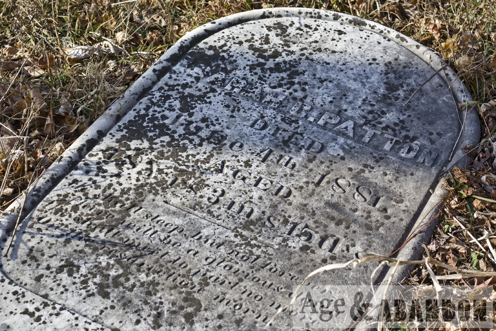
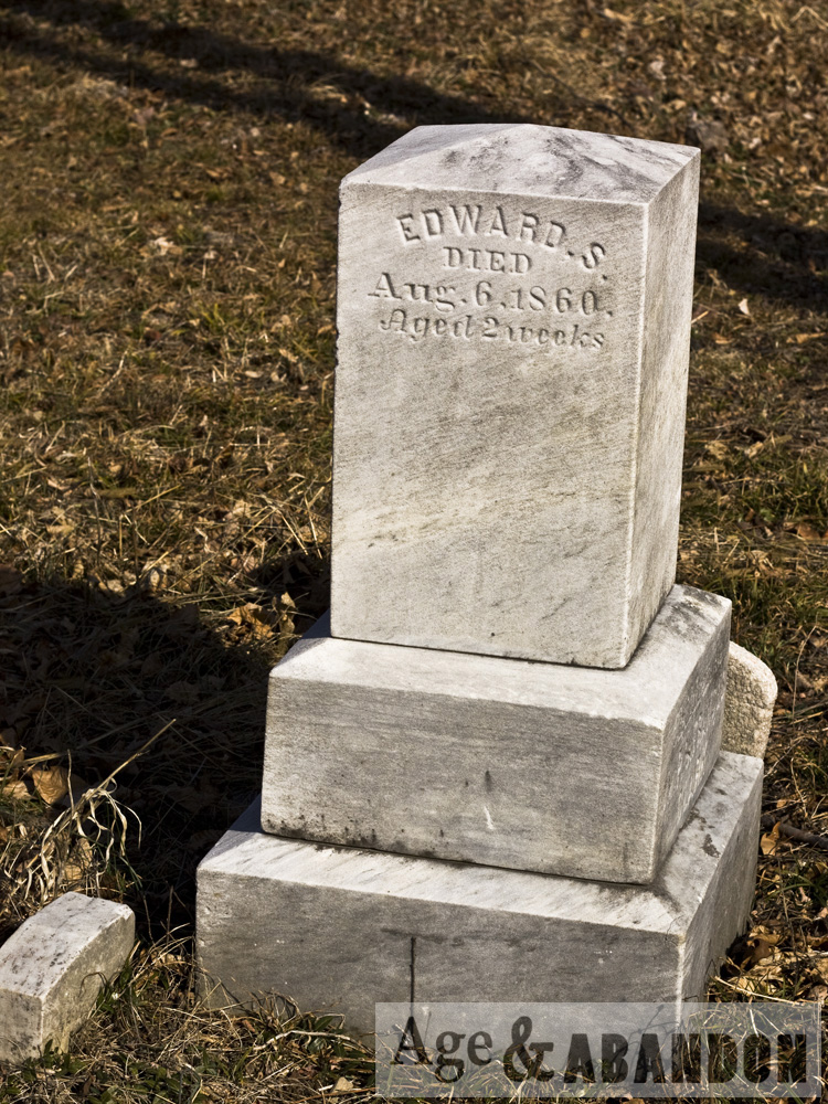
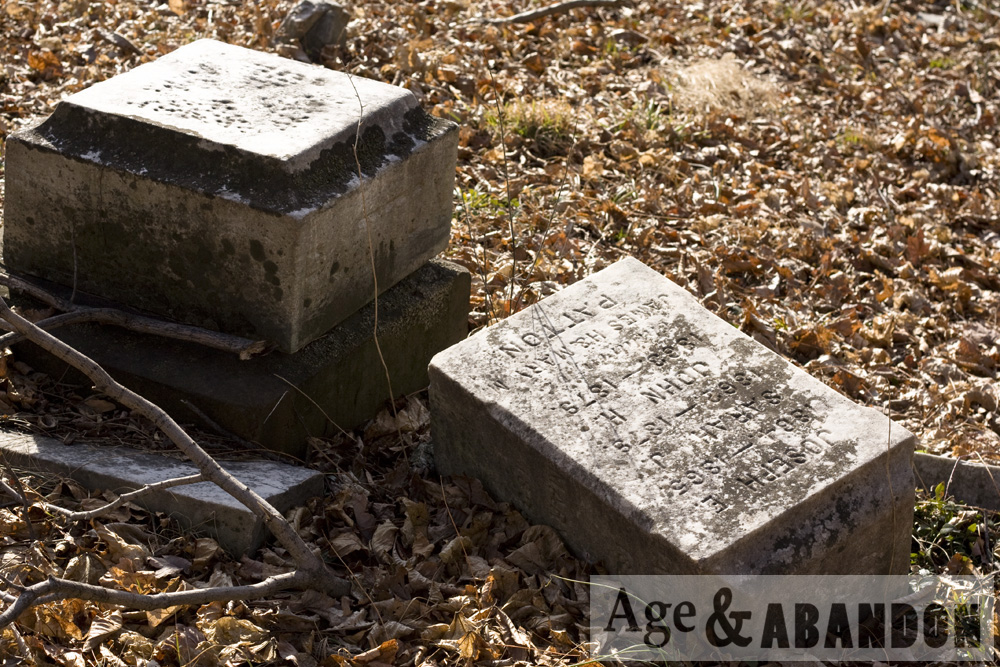
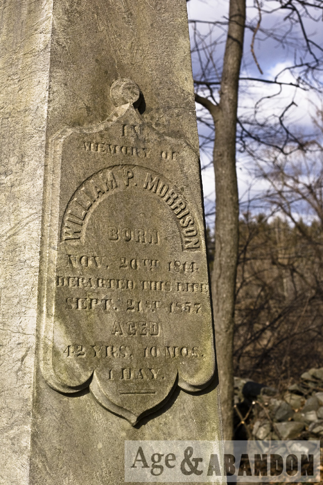
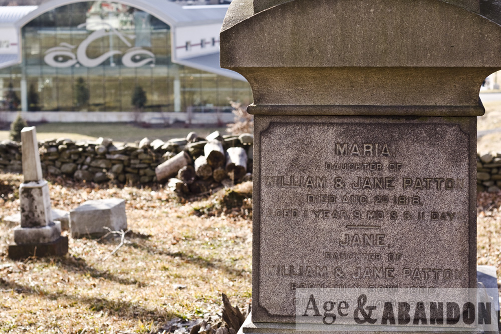
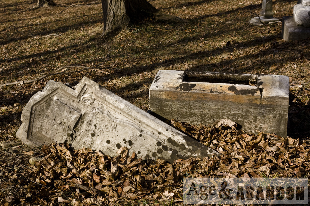
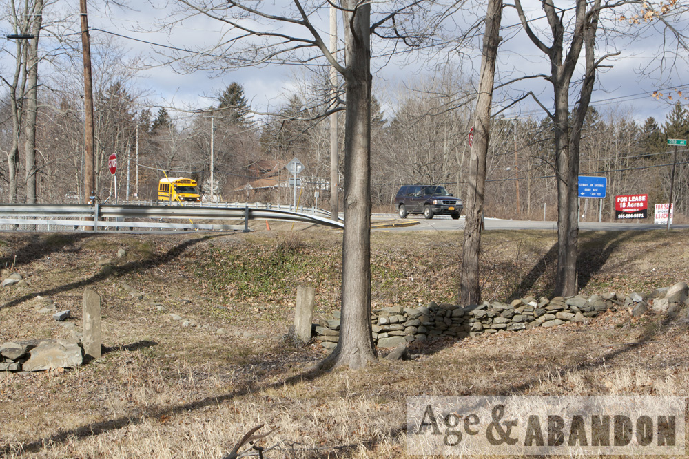
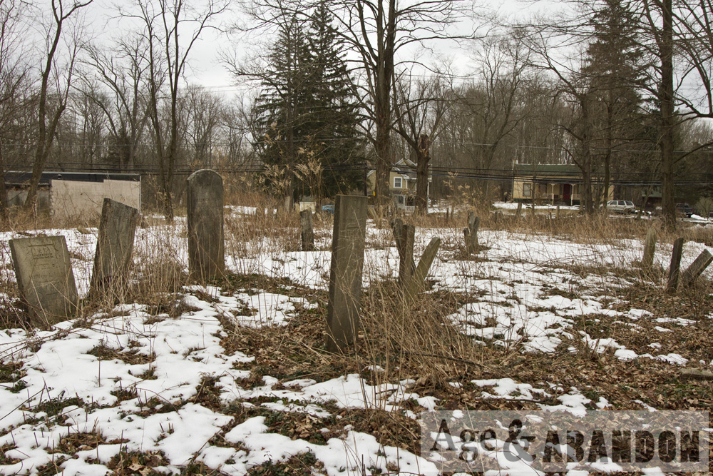
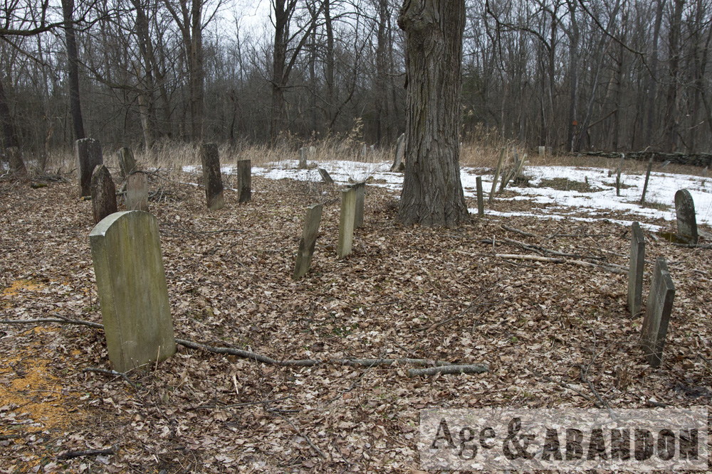
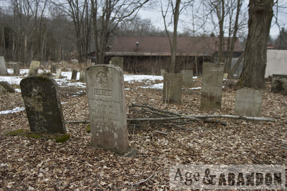
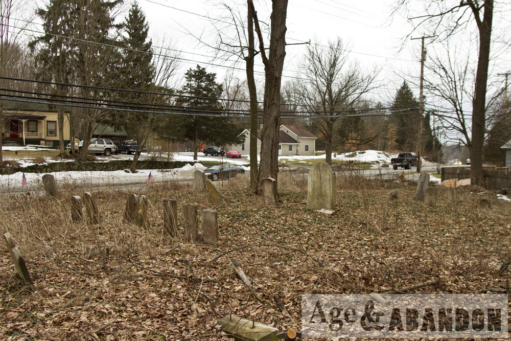
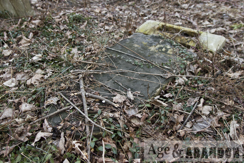
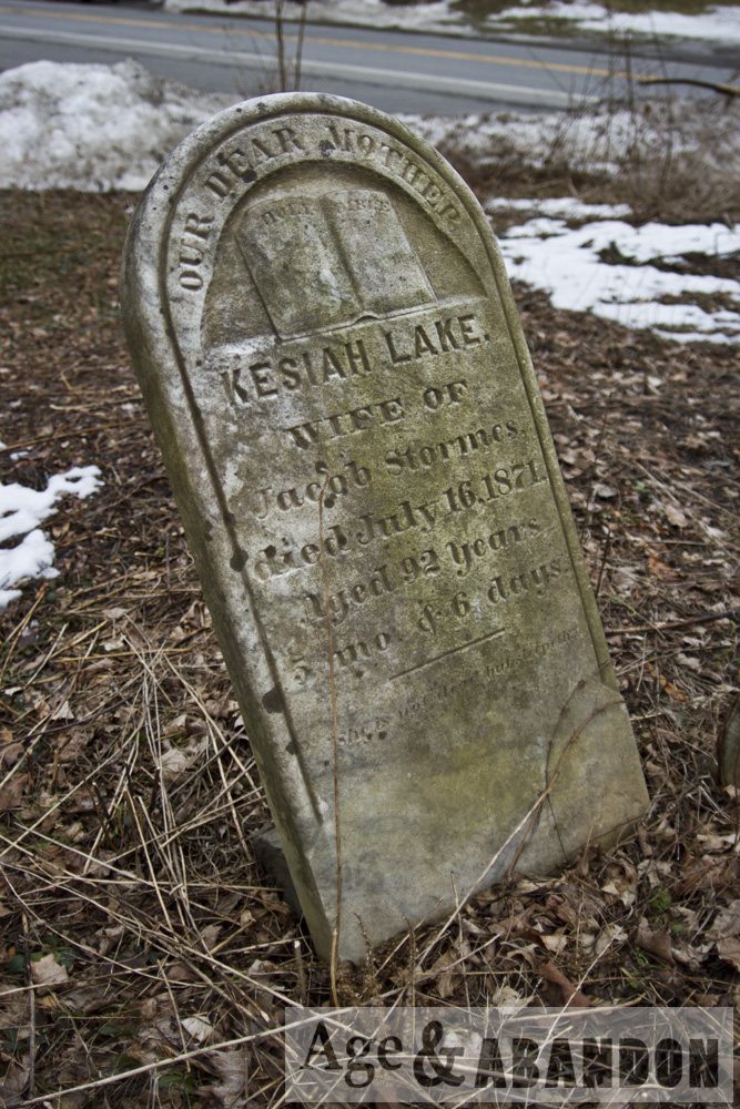
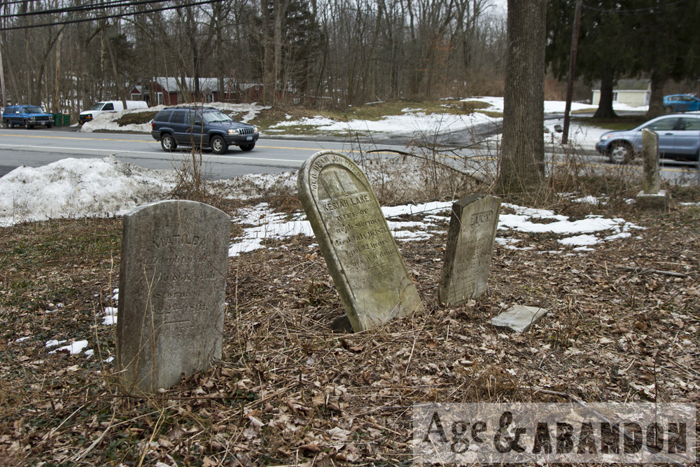
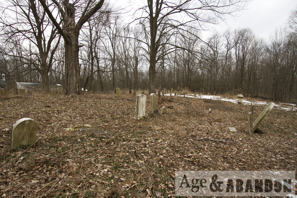
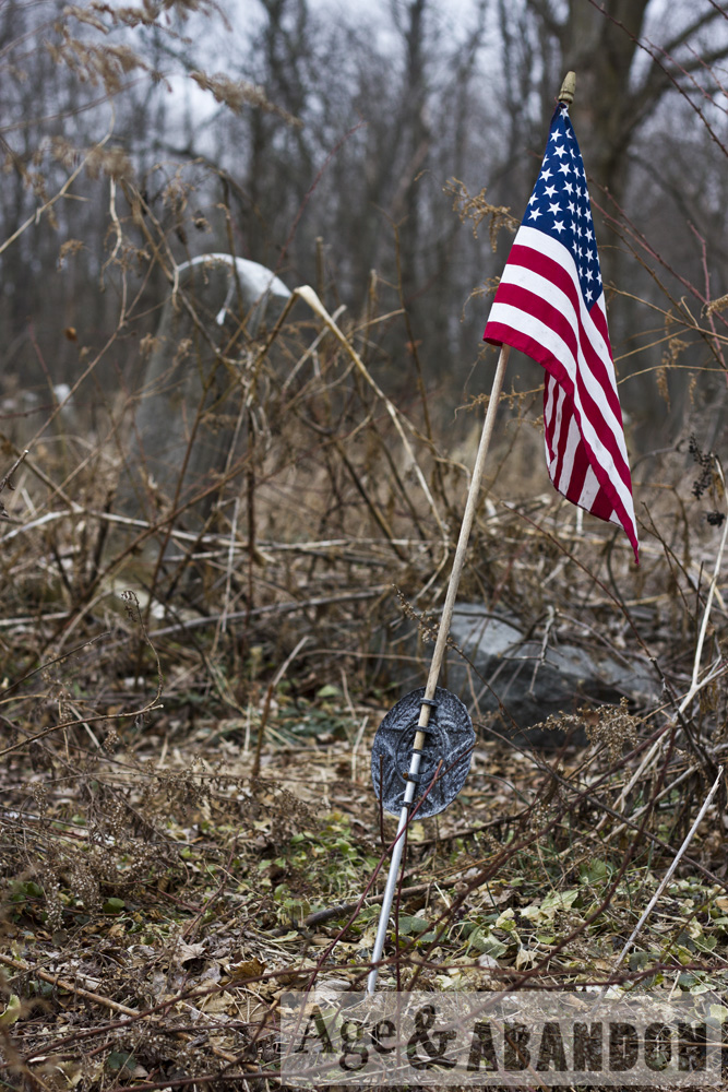
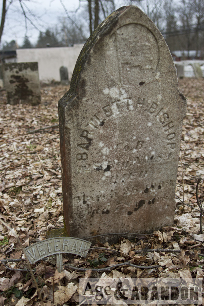
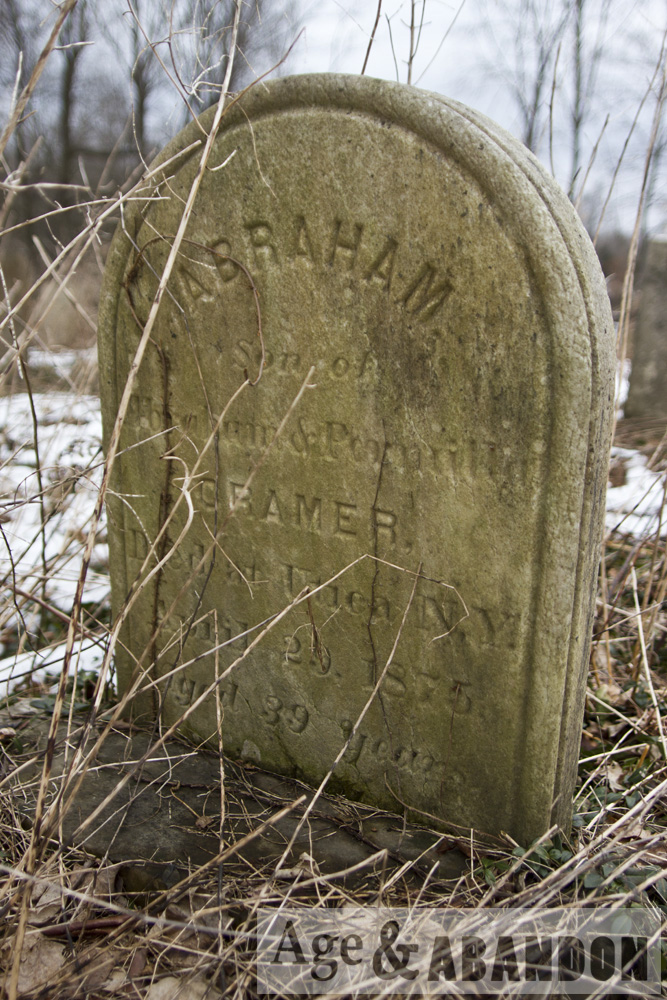
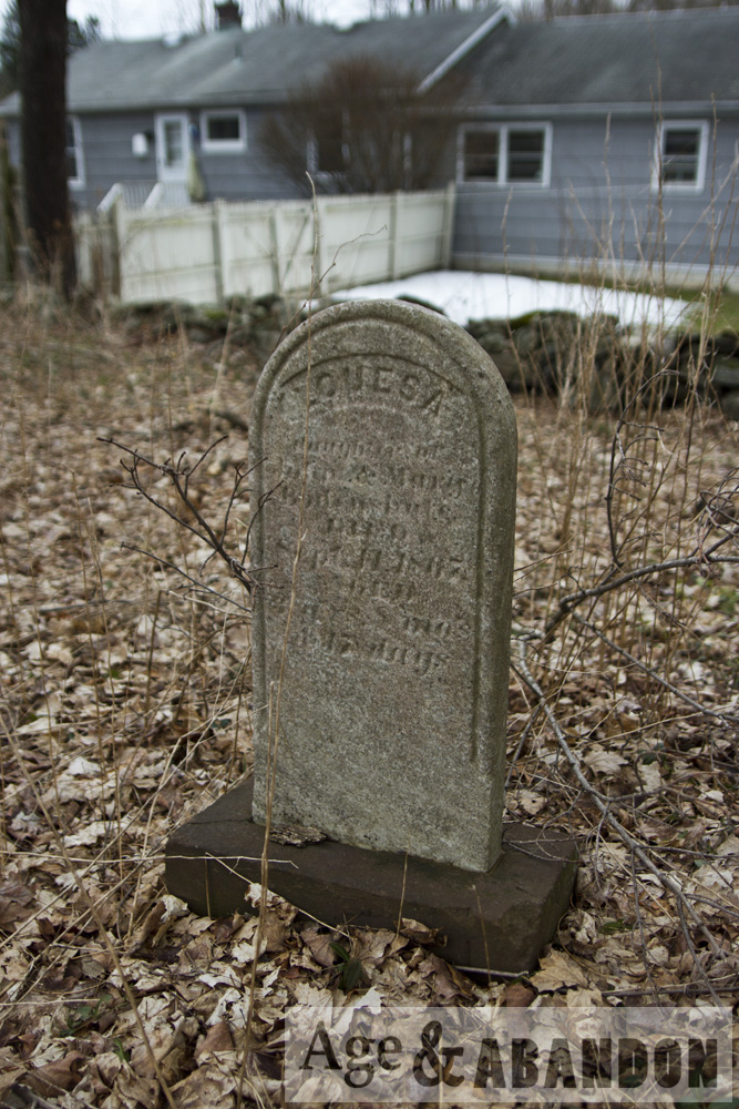
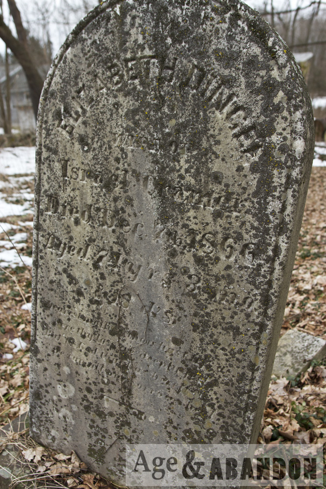
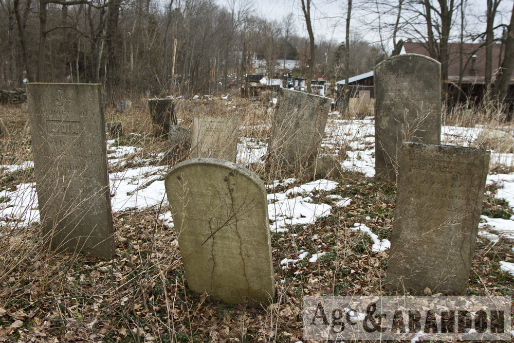
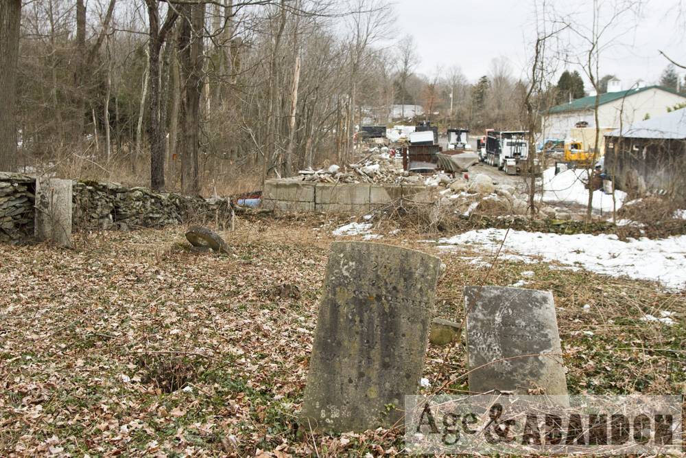
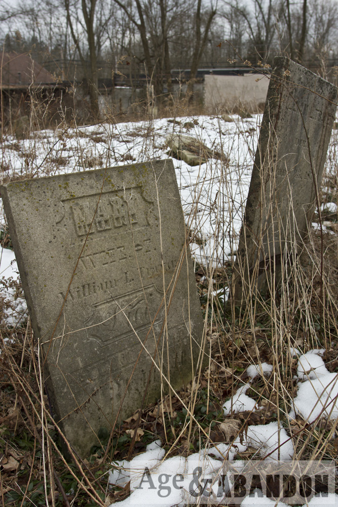
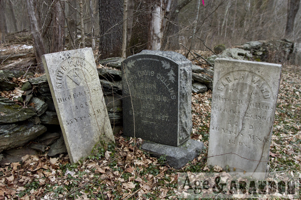
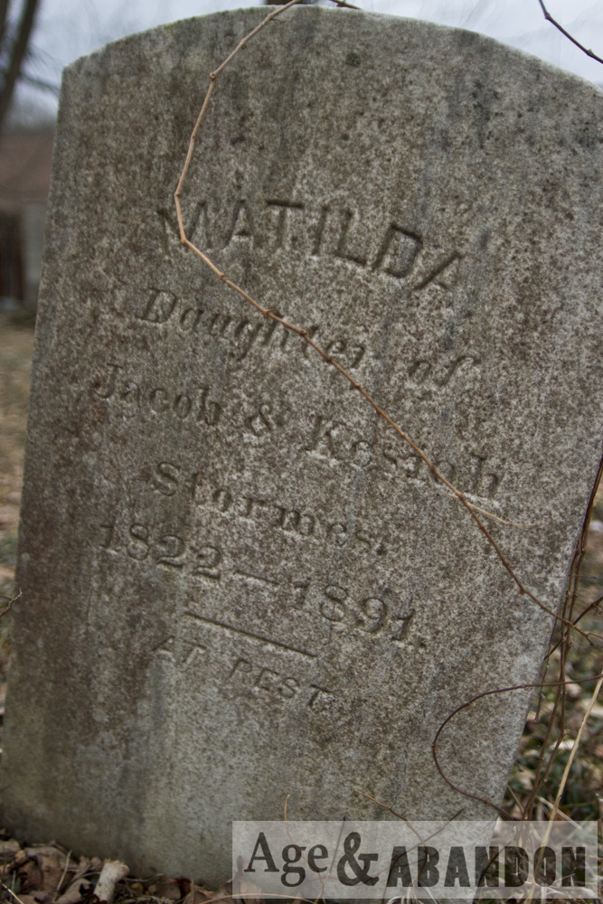
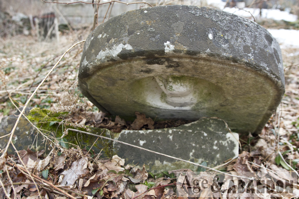
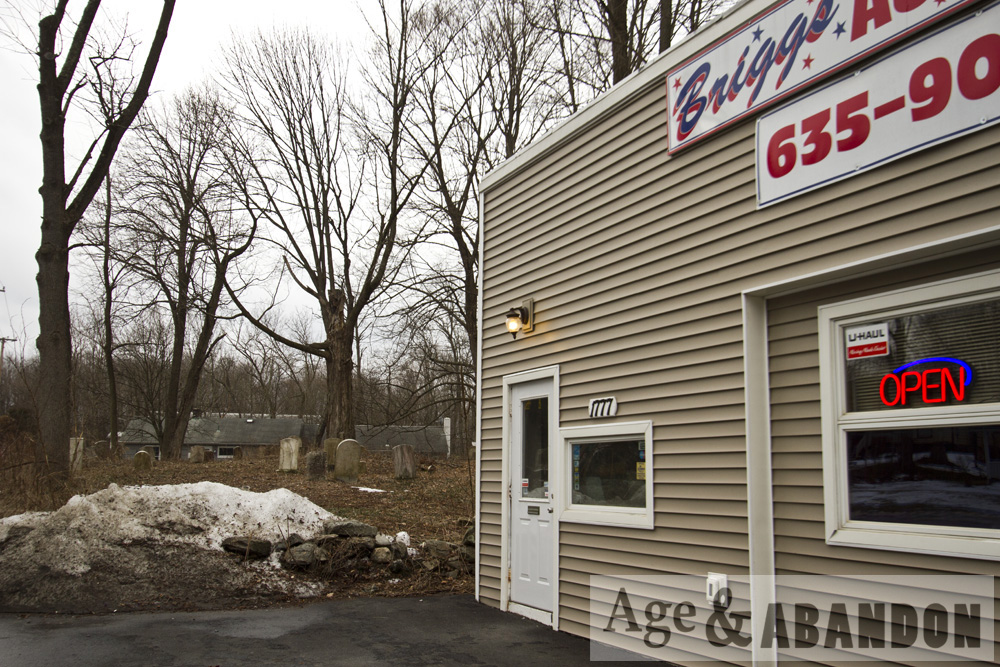
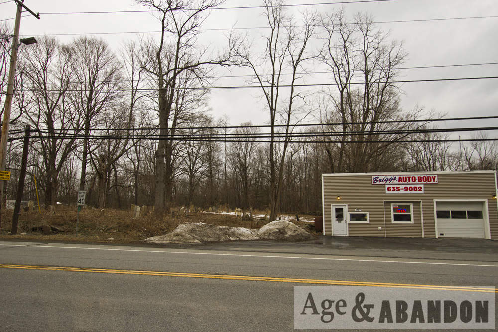
This is apparently the Methodist Ground cemetery, located on Route 44 just east of downtown Pleasant Valley, NY and adjacent to Brigg’s Auto Body.

More information:  Pleasant Valley Cemeteries

Location:  Bird’s Eye View

Last Updated on February 10, 2016 by administrator
Posted in Cemeteries Galleries | Tagged NY, Pleasant Valley

Route 17K Cemetery, Newburgh, NY

Cemetery located on Route 17K in Newburgh, NY just west of Interstate 87.

Location:  Bird’s Eye View

Last Updated on February 10, 2016 by administrator
Posted in Cemeteries Galleries | Tagged Newburgh, NY

Mountain Drive-In, South Fallsburg, NY

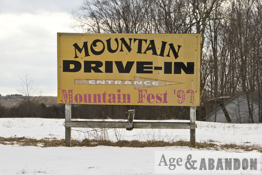
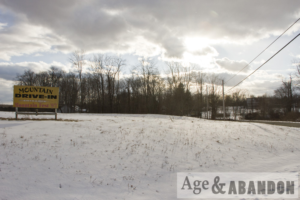
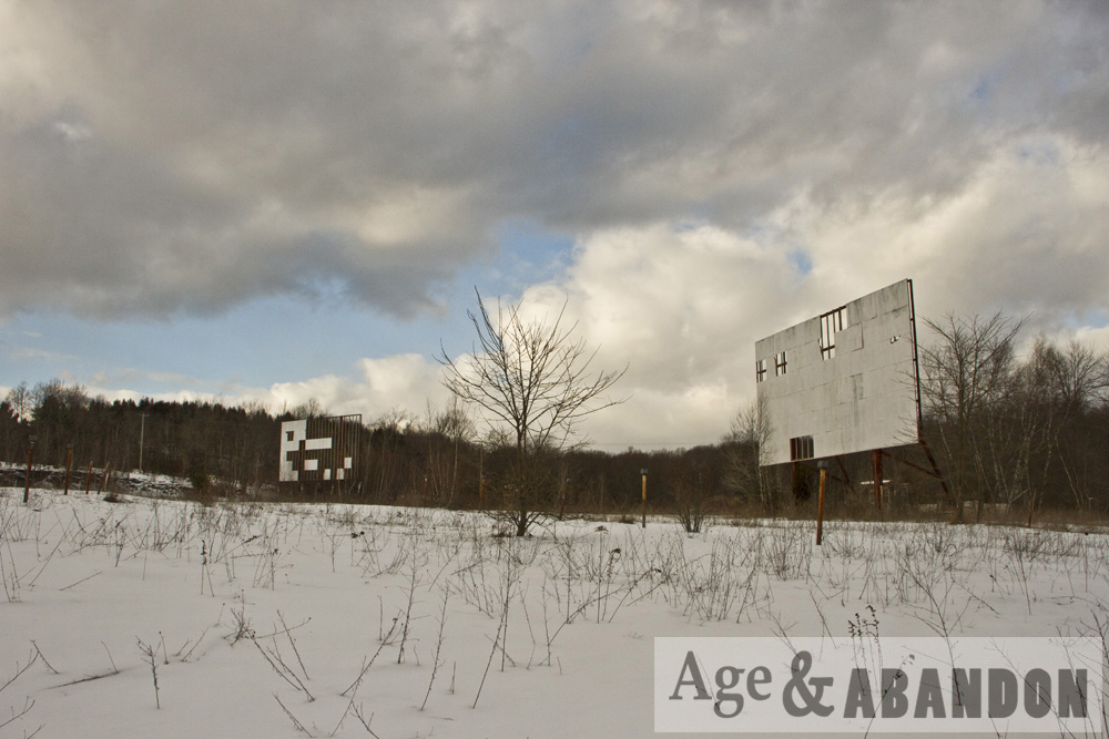
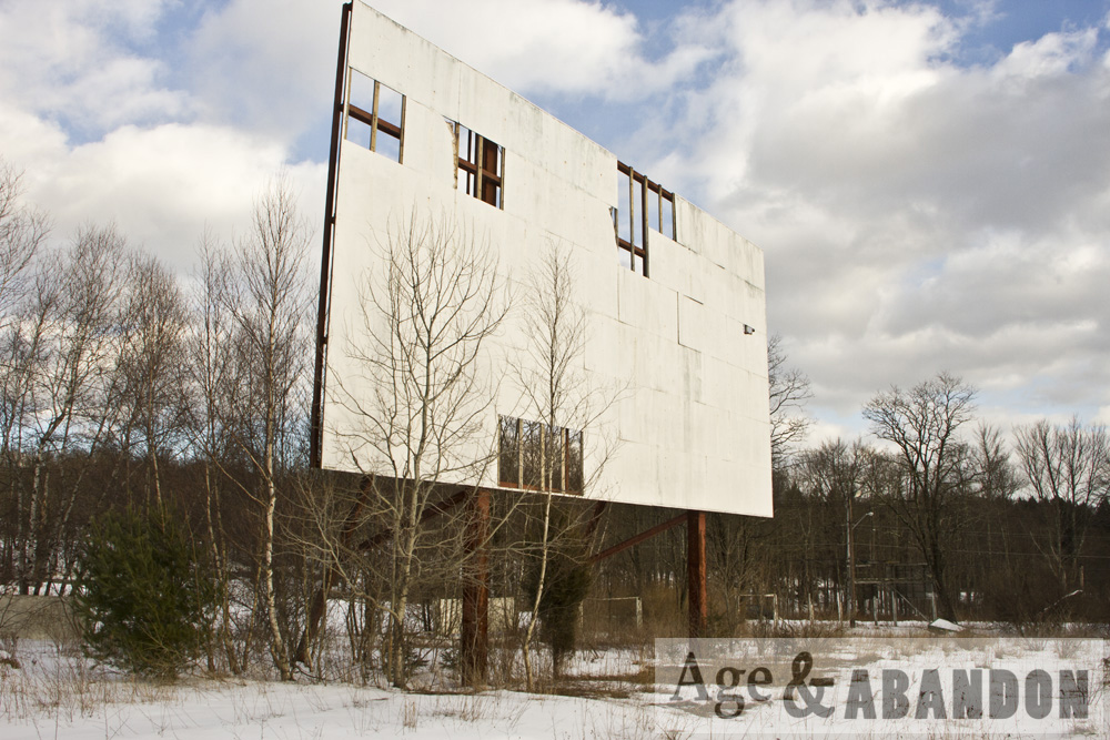
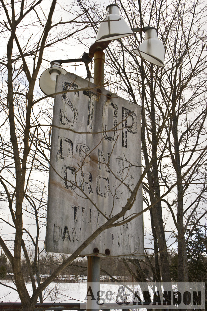
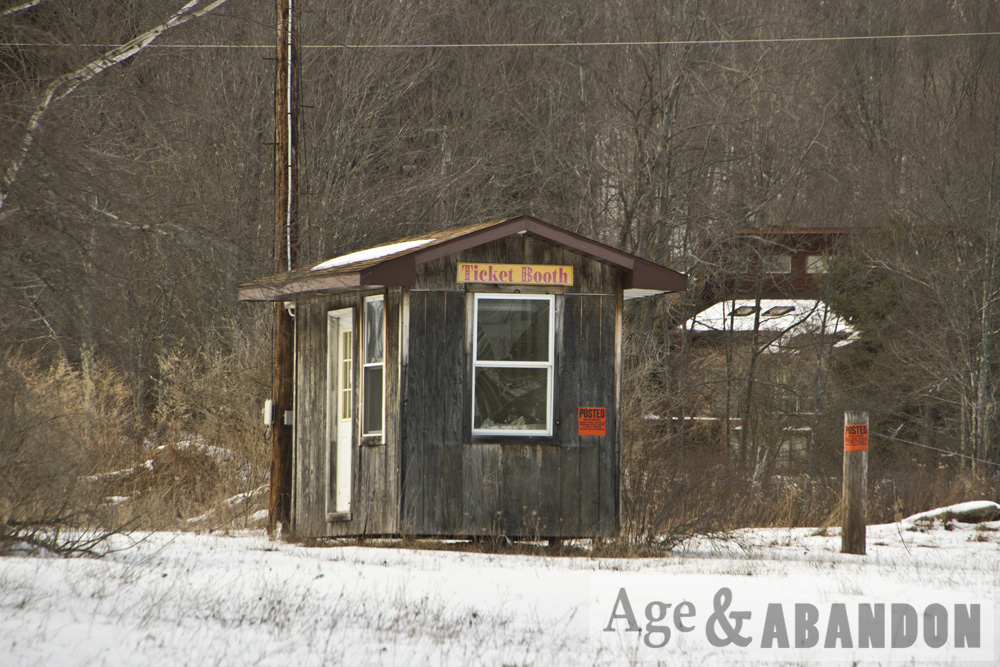
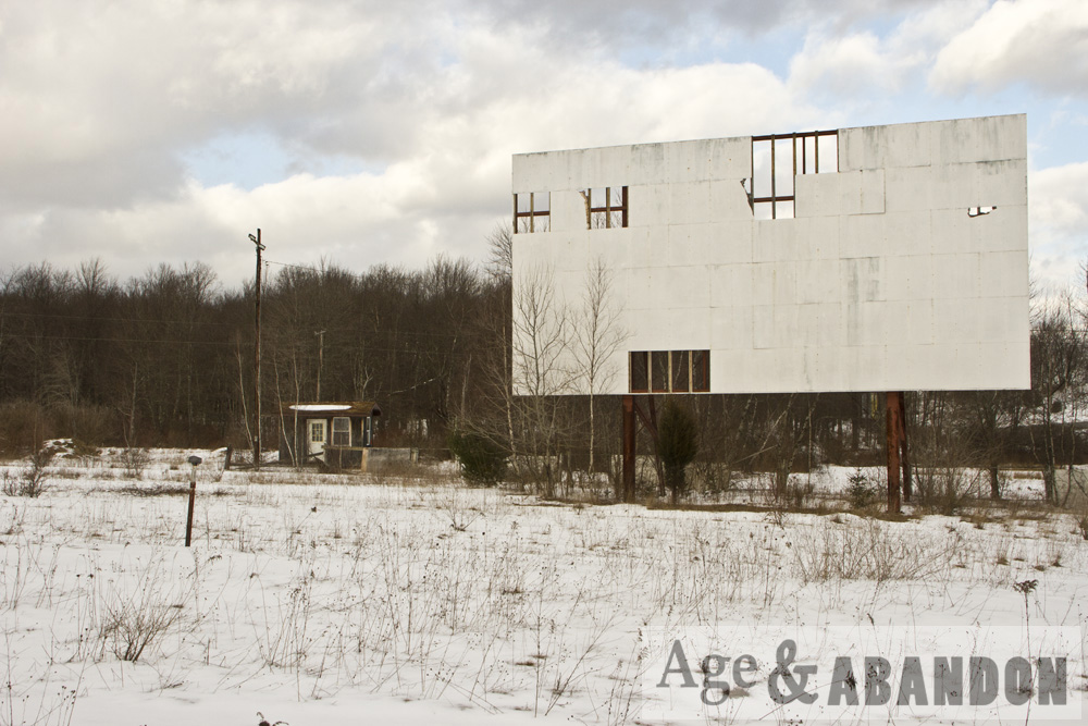
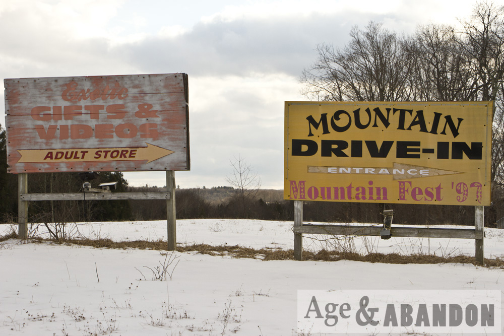
Abandoned drive-in theater in South Fallsburg, NY.

Location:  Bing Maps Bird’s Eye View (41.7777, -74.6906)

Last Updated on February 10, 2016 by administrator
Posted in Buildings (Commercial) Galleries | Tagged NY, South Fallsburg

Post navigation

← Older posts
Newer posts →

Recent Posts

  • Love Road, Poughkeepsie, NY
  • St. Elmo, CO
  • Gothic Revival House at 3700 Albany Post Road, Hyde Park, NY
  • Cripple Creek and Victor Narrow Gauge Railroad, Cripple Creek, CO
  • Cripple Creek, CO

Categories

  • Area/Town Galleries (12)
  • Buildings (Agricultural) Galleries (17)
  • Buildings (Commercial) Galleries (28)
  • Buildings (Industrial) Galleries (20)
  • Buildings (Lighthouse) Galleries (9)
  • Buildings (Medical) Galleries (4)
  • Buildings (Military) Galleries (8)
  • Buildings (Miscellaneous) Galleries (20)
  • Buildings (Religious) Galleries (5)
  • Buildings (Residential) Galleries (14)
  • Cemeteries Galleries (13)
  • Demolished Galleries (19)
  • Infrastructure Galleries (16)
  • Links (2)
  • Miscellaneous Galleries (14)
  • Ruins Galleries (25)
  • Uncategorized (1)

Tags

  • Beacon
  • CA
  • Cape Cod
  • Catskills
  • CO
  • CT
  • East Fishkill
  • Eastham
  • East Hampton
  • Ellis Island
  • farm
  • Fishkill
  • FL
  • Garrison
  • Herkimer
  • Highland
  • Hyde Park
  • Kingston
  • LaGrange
  • MA
  • Mariposa County
  • Marlboro
  • Millbrook
  • Montauk
  • Newburgh
  • New York
  • New York City
  • NJ
  • NY
  • NYC
  • Palm Coast
  • Port Orange
  • Poughkeepsie
  • Red Hook
  • Rhinebeck
  • Rosendale
  • Sandwich
  • San Francisco
  • Saugerties
  • St. Augustine
  • Uncasville
  • VT
  • Wappinger
  • Wappingers Falls
  • Yonkers

RSS Unknown Feed

© Stephanie LaRose Lewison / Age & Abandon. No reproductions without prior written consent.