Love Road, Poughkeepsie, NY

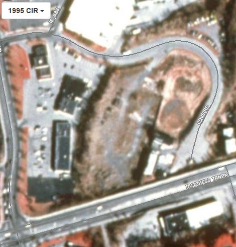
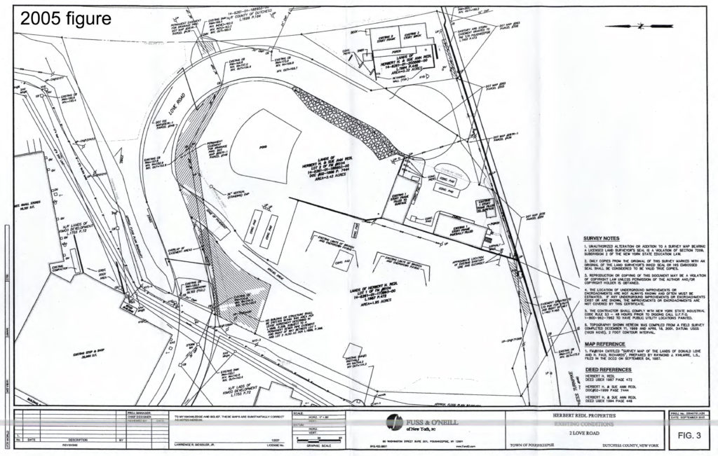
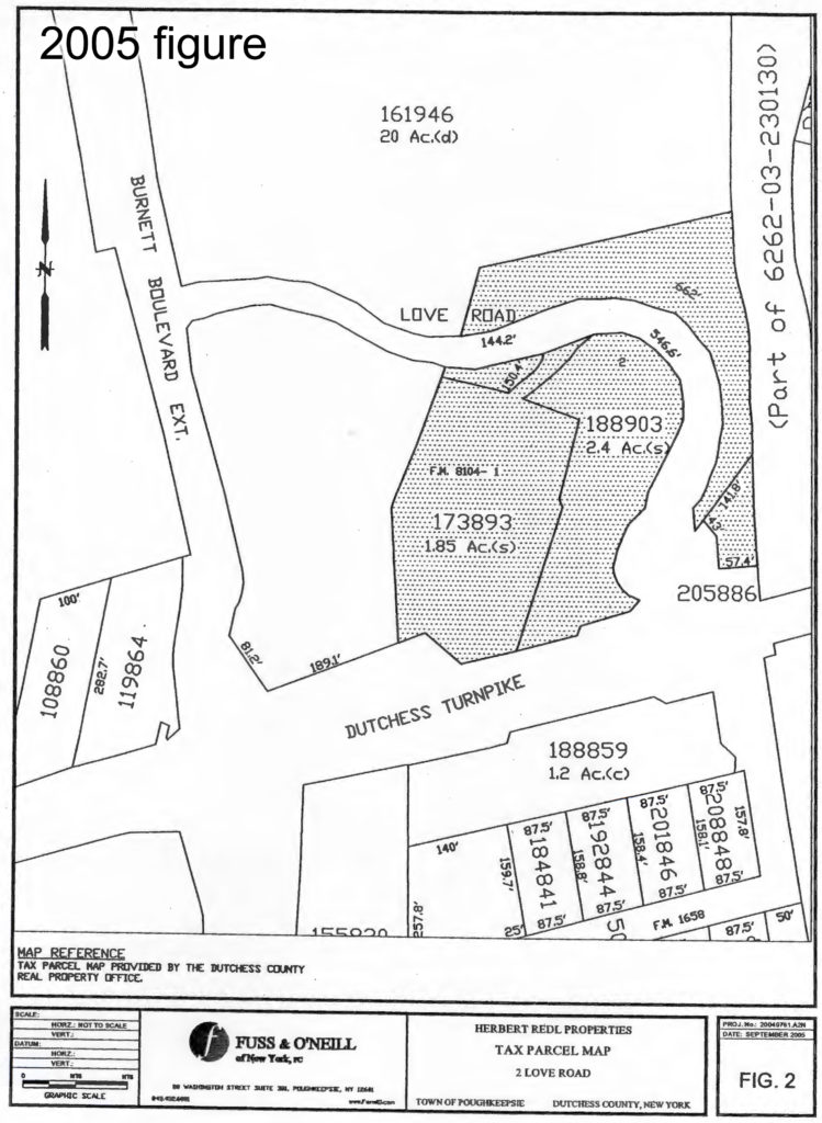
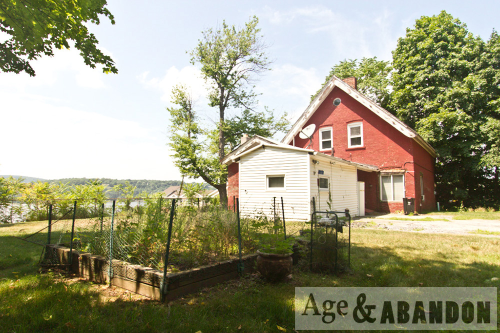
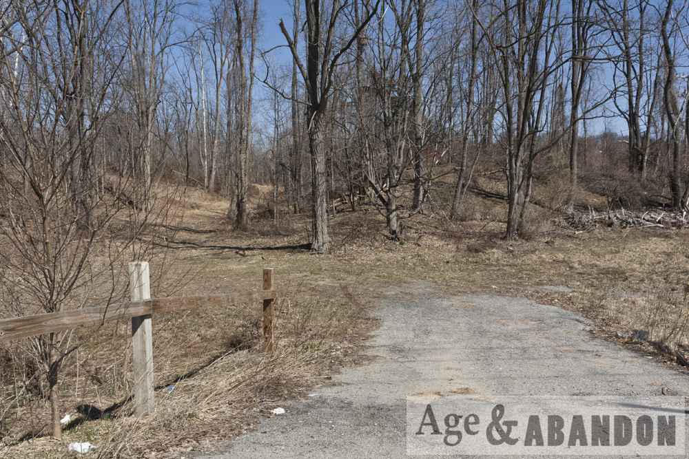
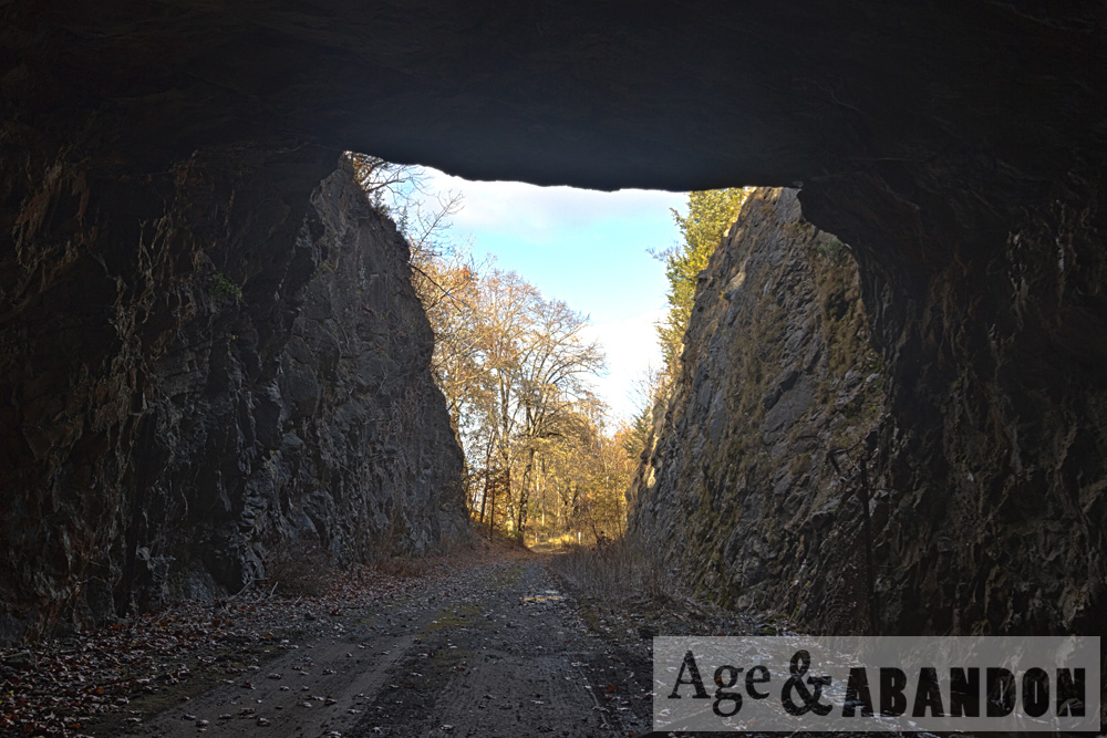
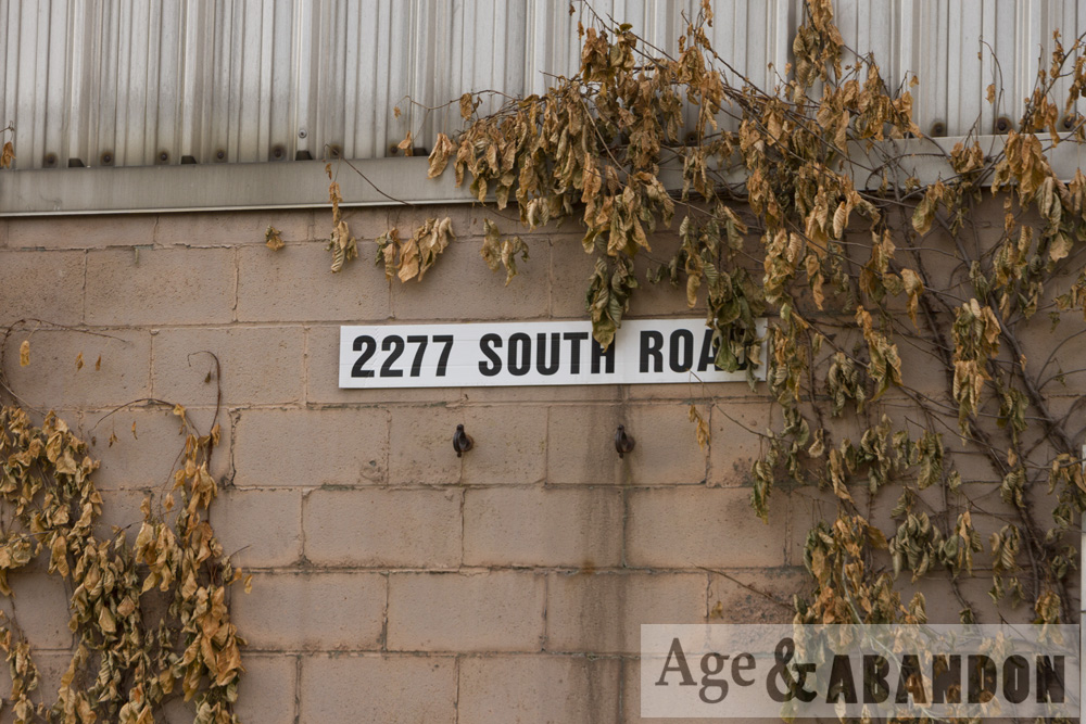
This 4.50-acre site is currently identified as tax parcel Section 6261, Block 01, Lot 187898 on both sides (east and west) of Love Road in Poughkeepsie, NY.  The site is bounded on the south by US Route 44 (Dutchess Turnpike), the abandoned railroad (now a rail trail) to the east, and commercial properties to the north and west.  The site is currently identified as 20-50 Love Road, but in older documentation (circa 2005) it was referred to as 2 Love Road and was divided into three tax parcels (lots 173893, 188903, and 205886 – from west to east). Even earlier, the lots were known as 83-85 Dutchess Tpke (lot 173893), 87-91 Dutchess Tpke (lot 188903), 93, 95, and 97 Dutchess Tpke.

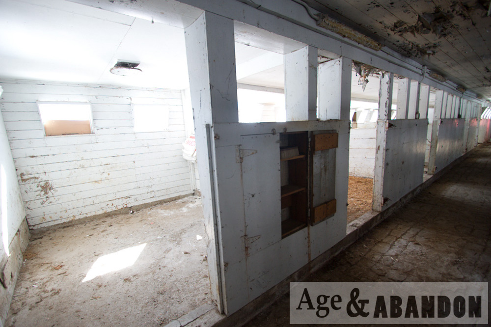
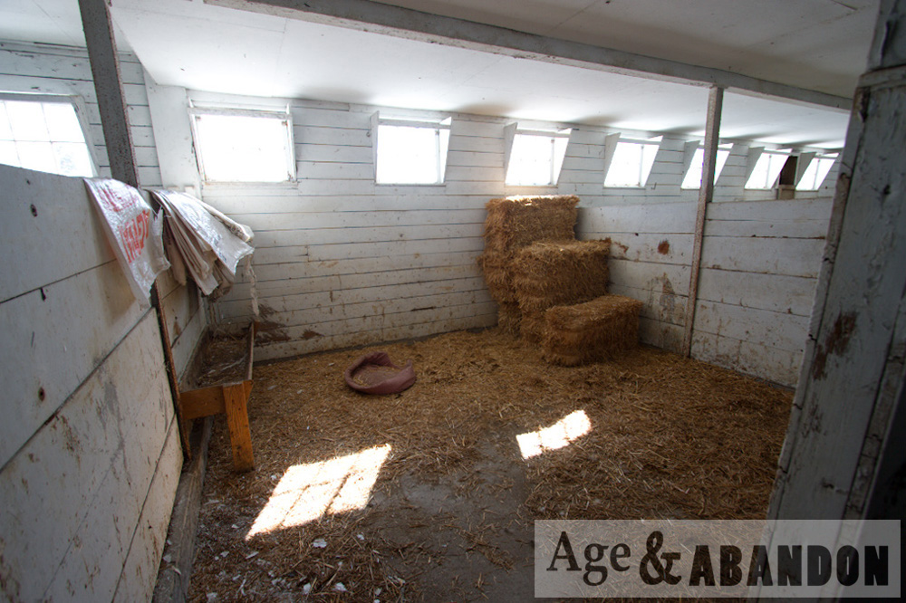
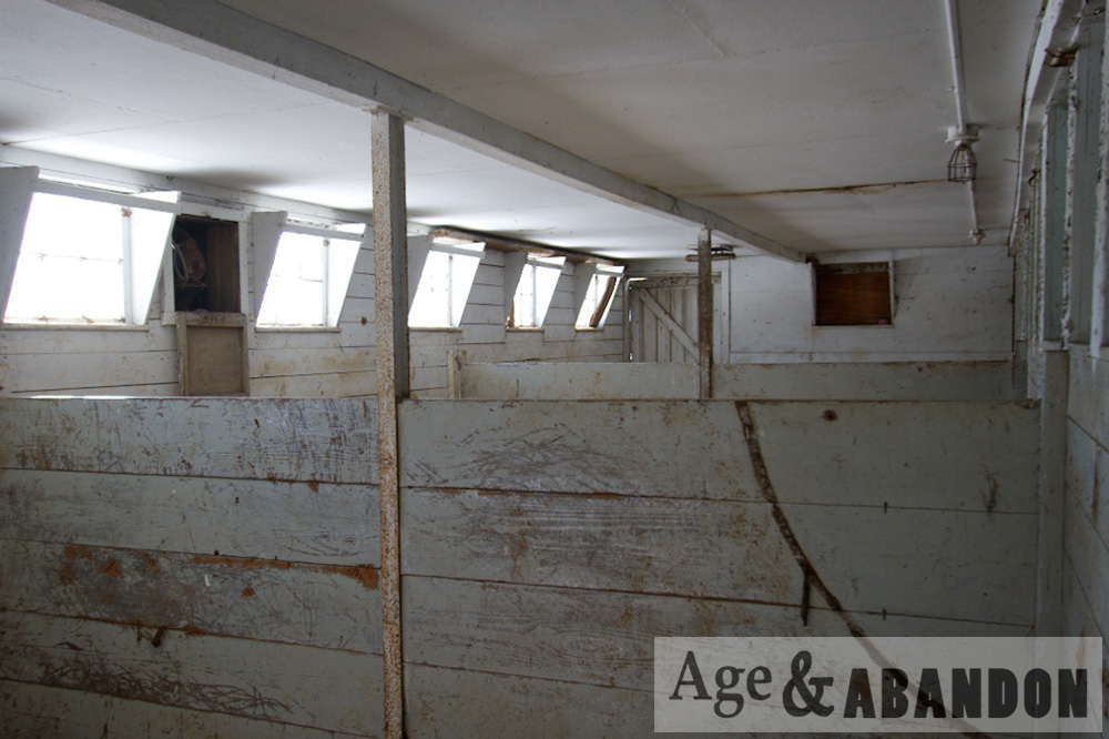
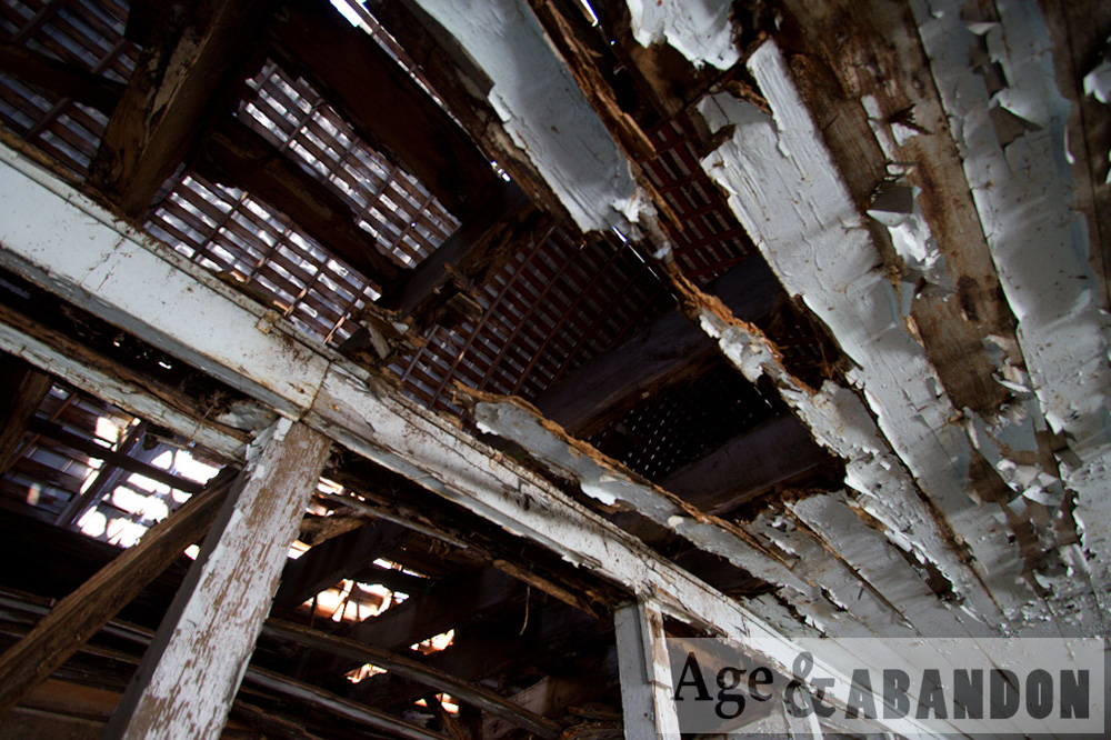
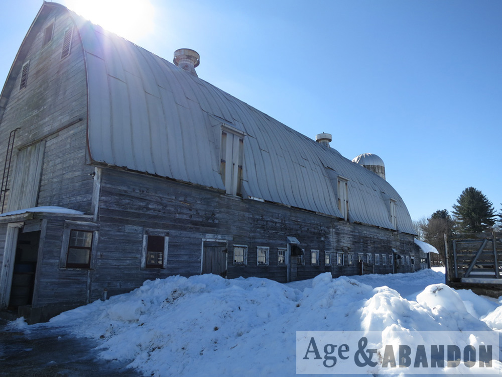
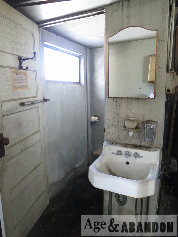
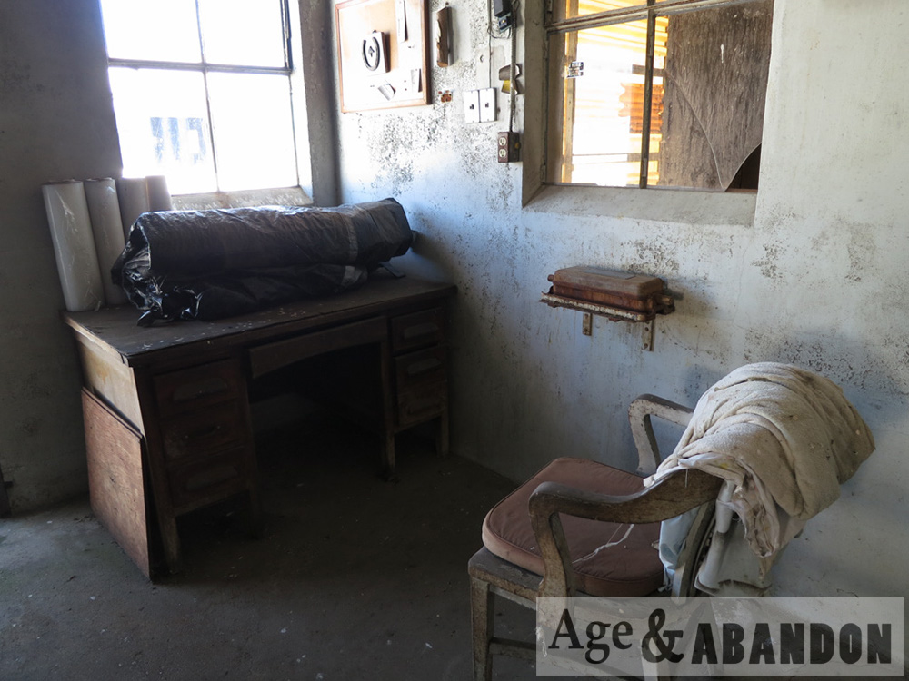
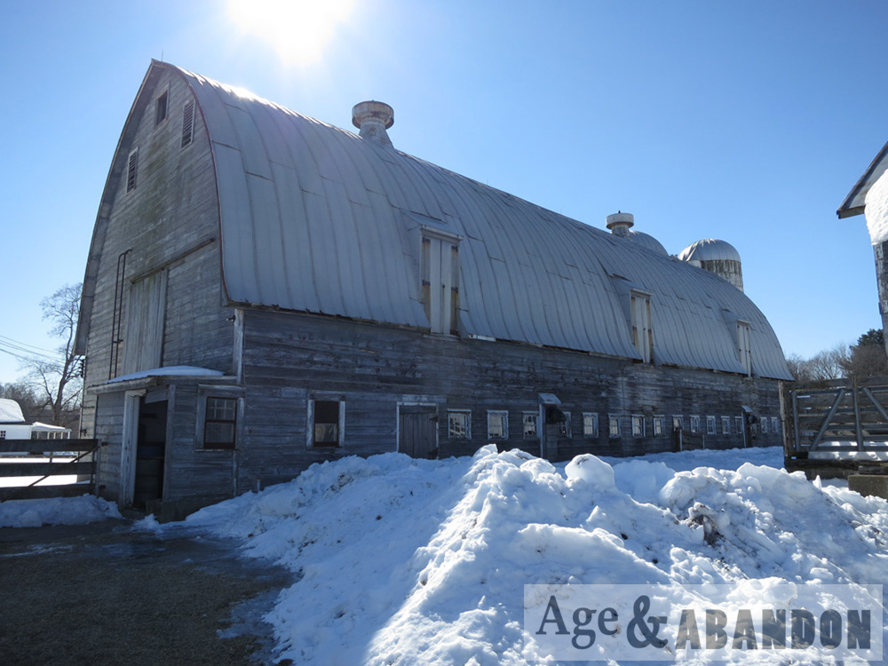
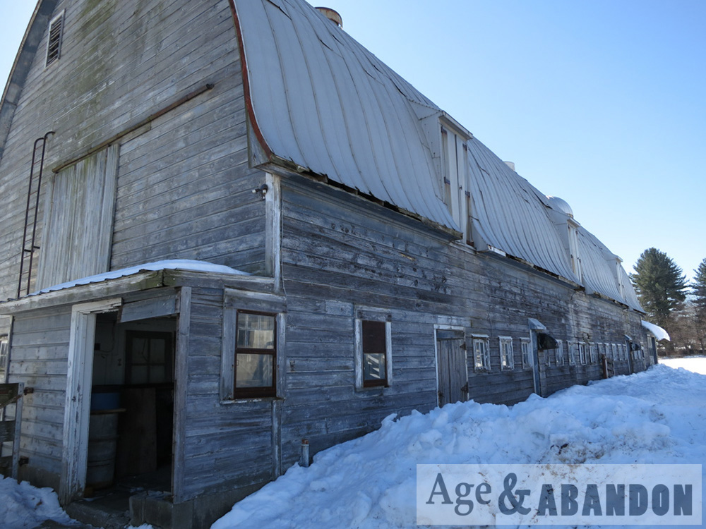
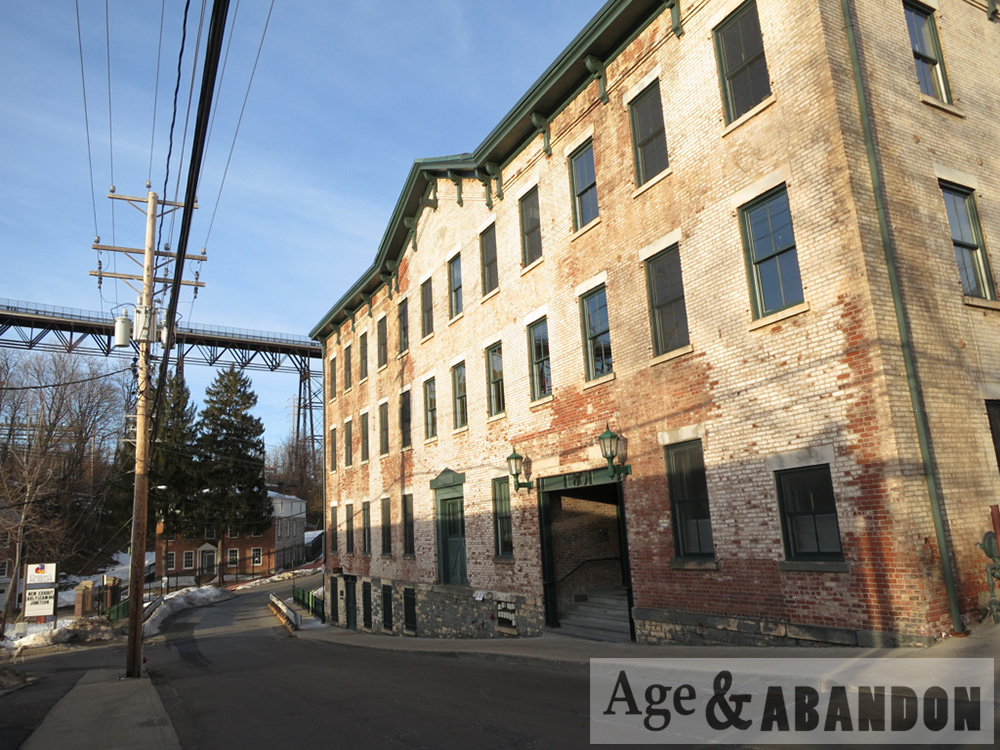
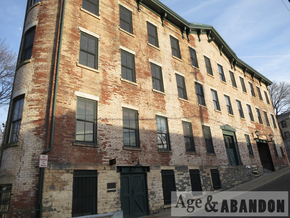
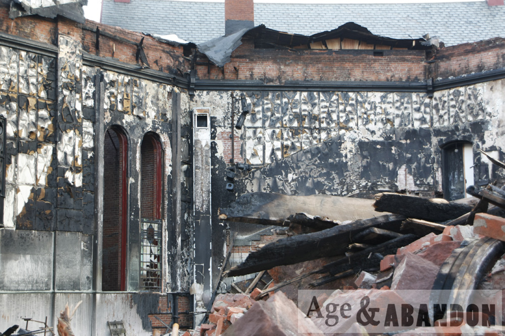
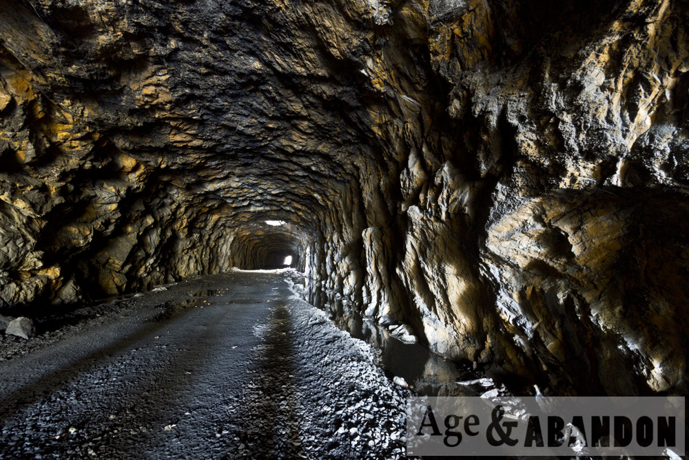
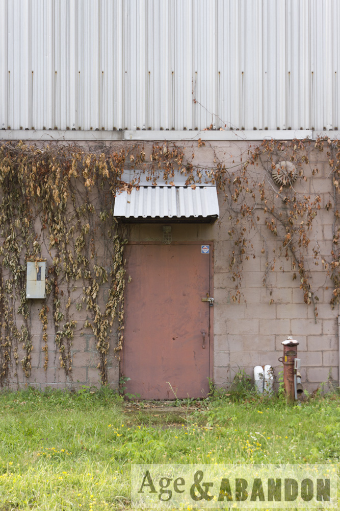
The property was formerly occupied by a gasoline service station, a petroleum bulk storage facility, and a lumber/building supply yard – not necessarily in that order.  This area of Route 44 is known as Brickyard Hill.

The results of more detailed research can be found below:

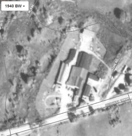
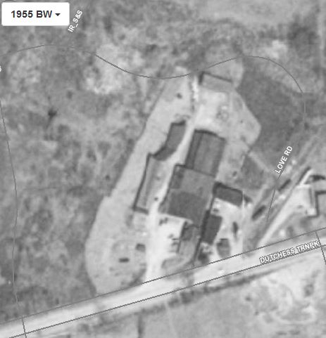
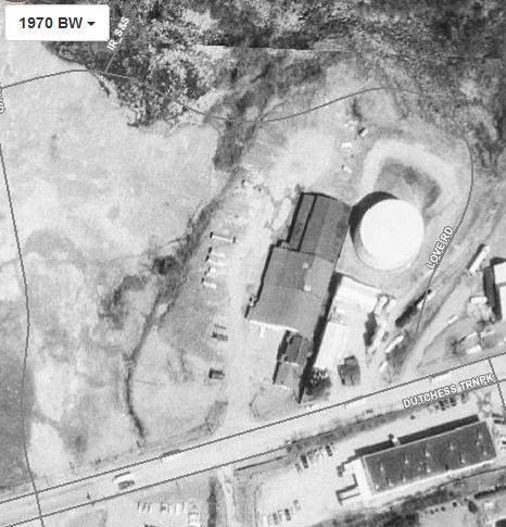
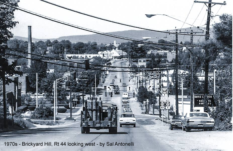
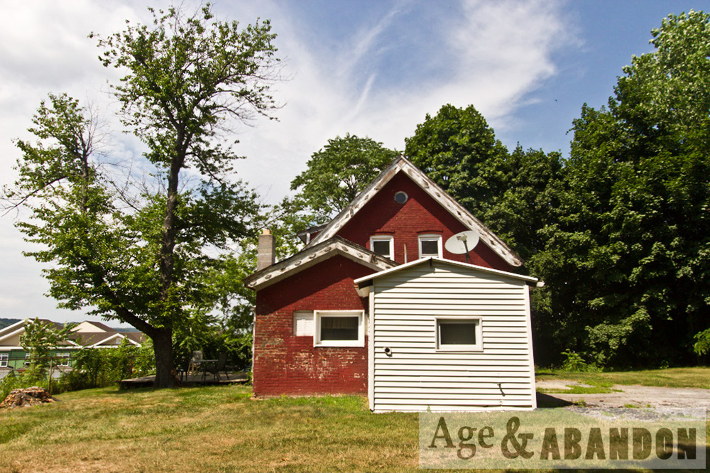
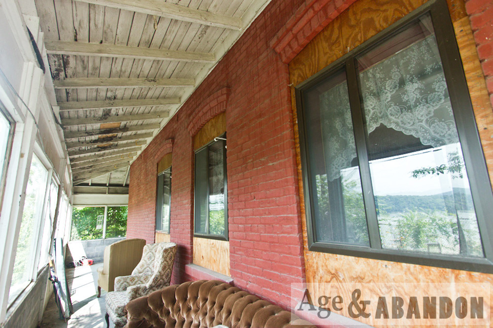
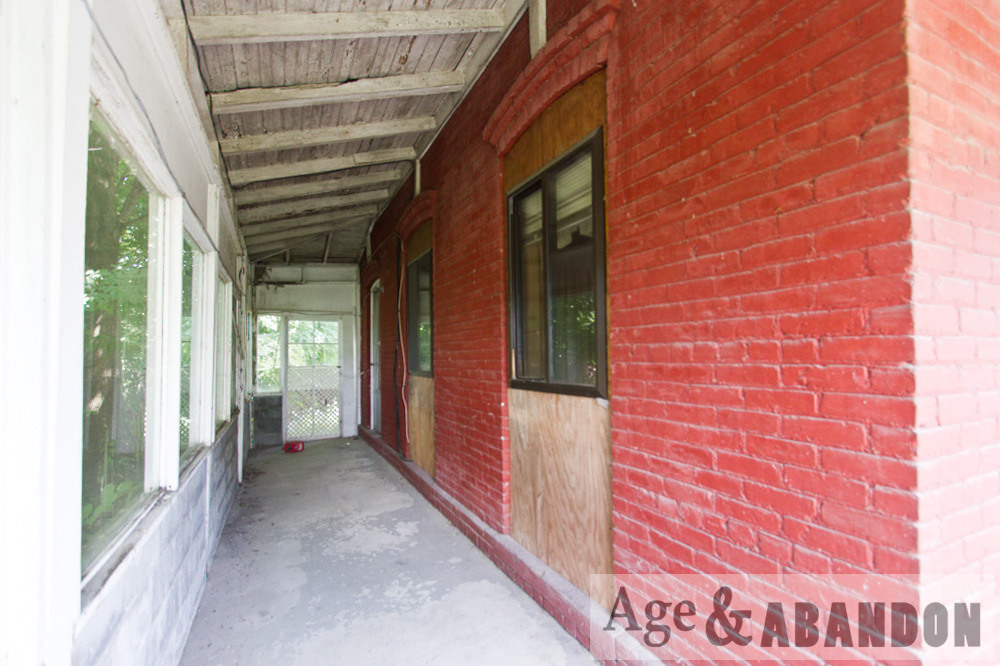
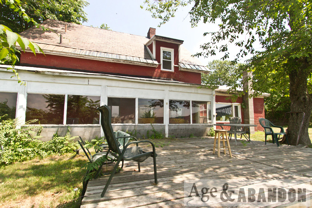
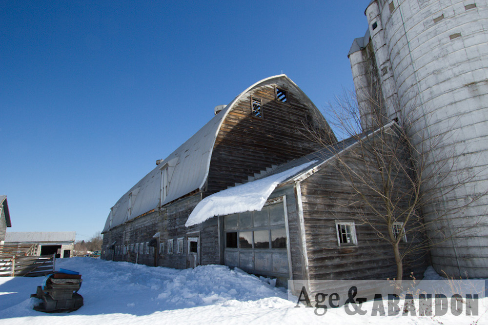
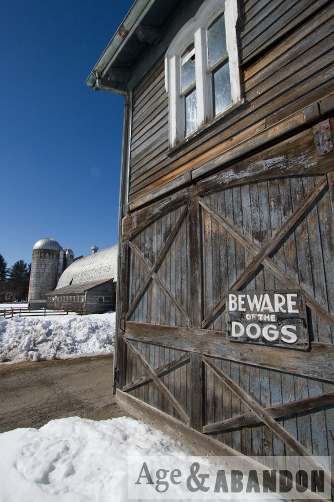
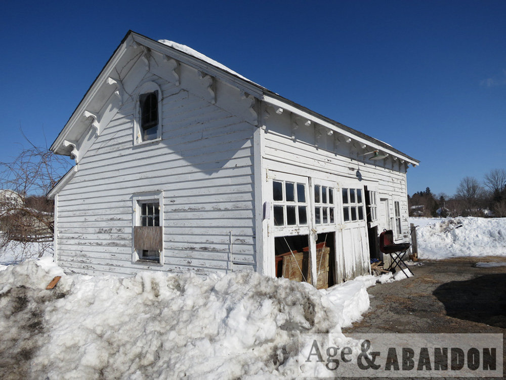
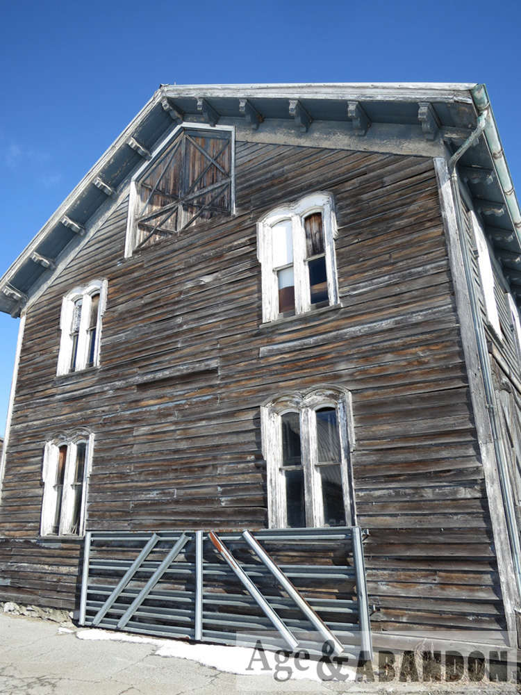
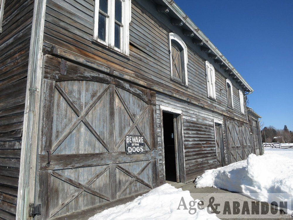
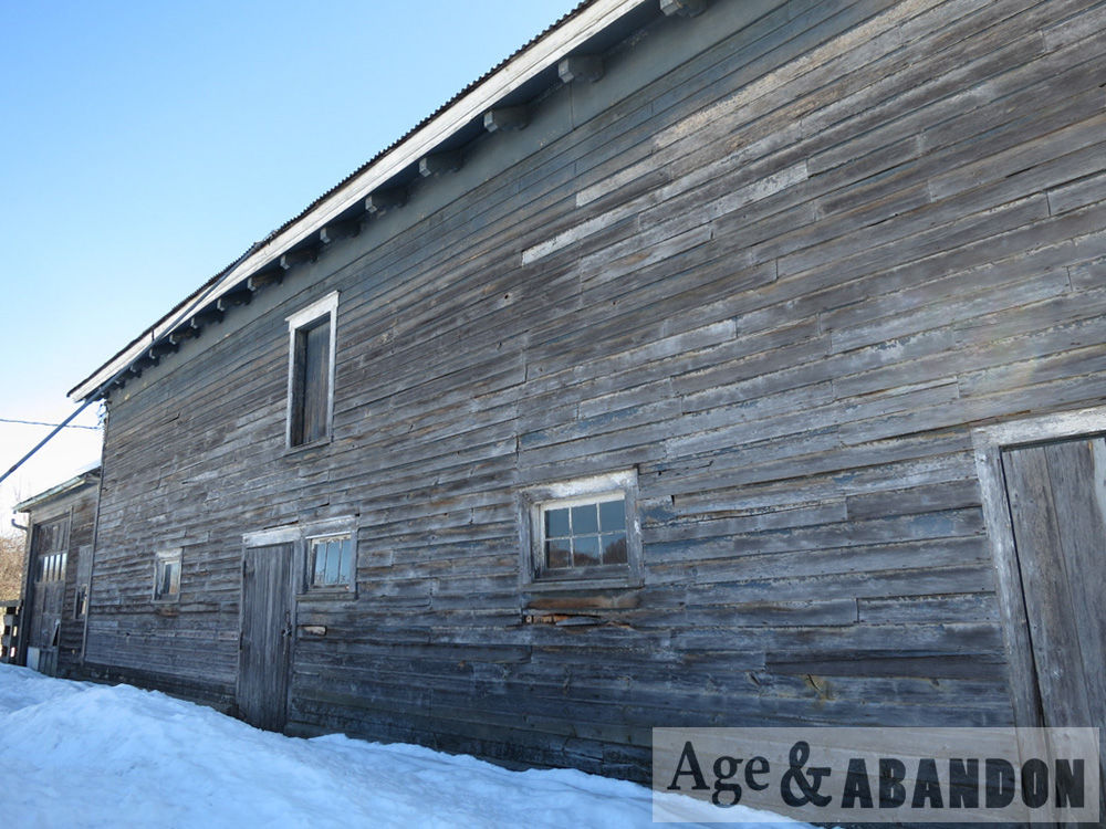
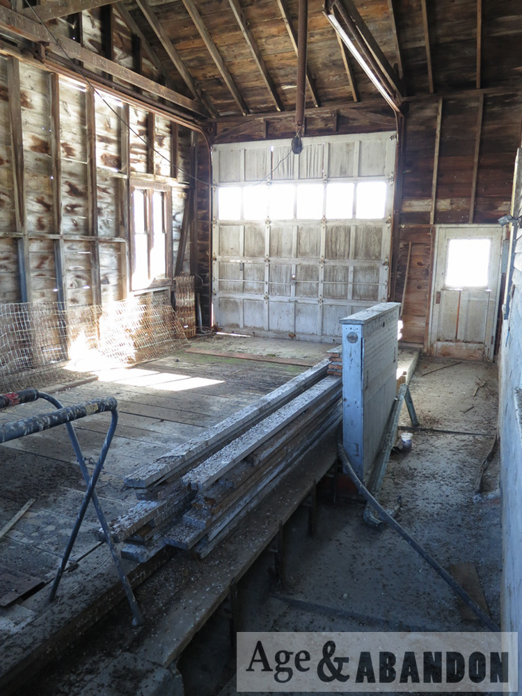
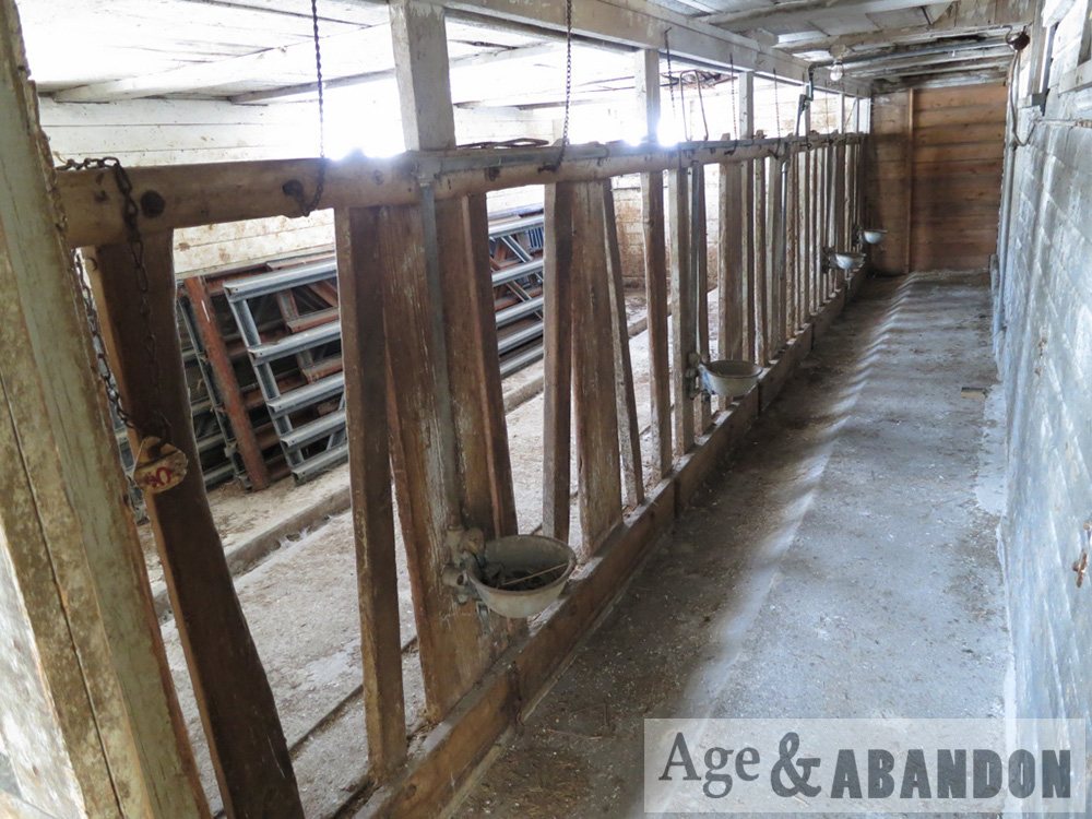
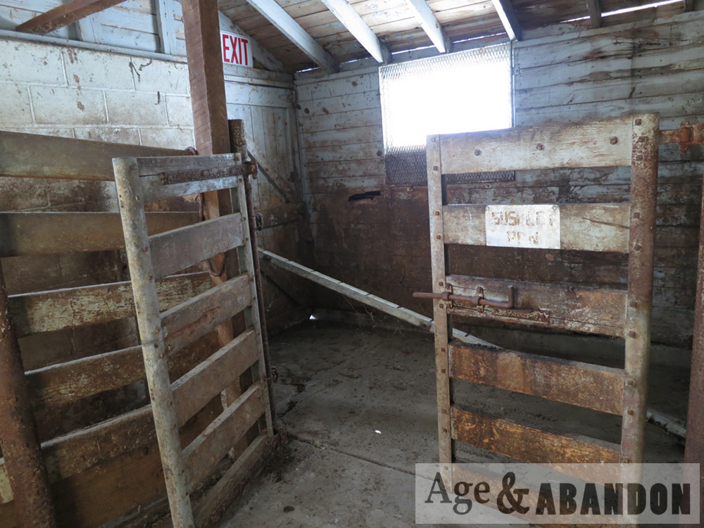
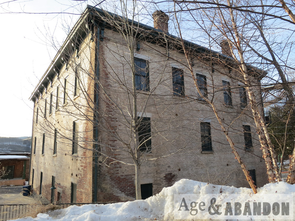
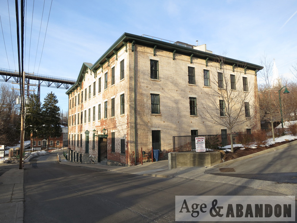
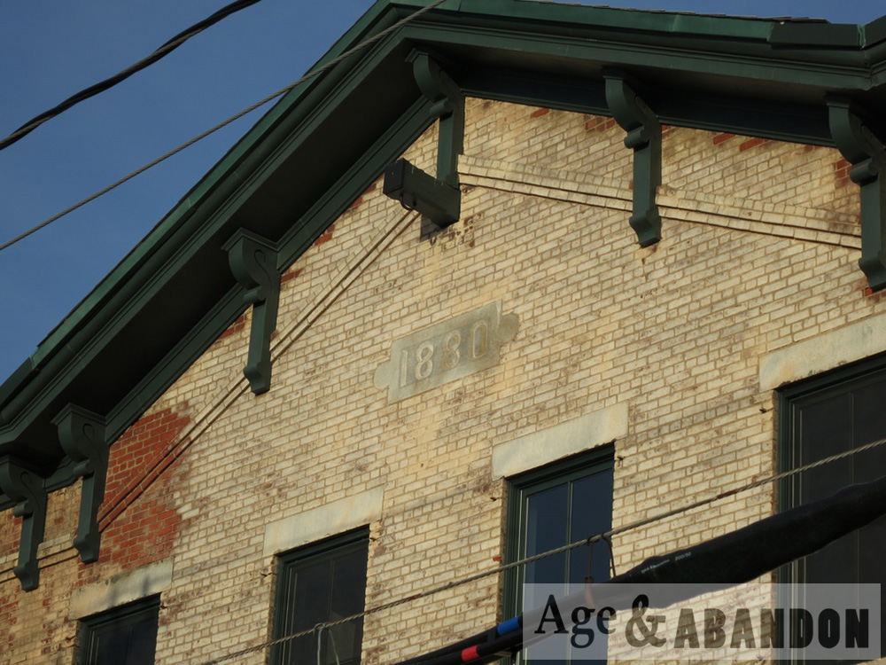
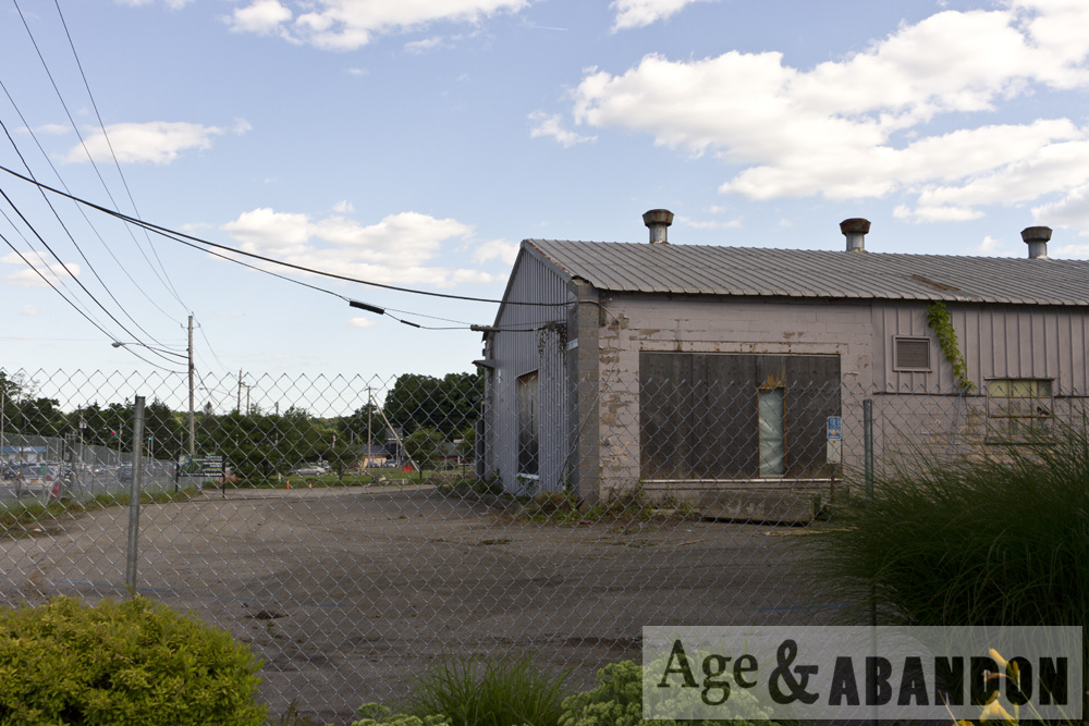
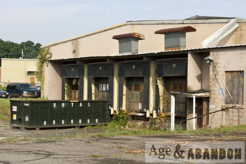
The property card for 83 Dutchess Tpke lists the presence of a lumber yard in 1929. A 1936 map shows E.R. Davis as a property owner of the area, possibly the westernmost portion of the three lots. The 1938 city directory indicates Everett R. Davis (lumber and building supplies) occupied the property at that time and that was the occupant until 1972 (at 85 Dutchess Turnpike).  A photograph taken in the 1970s of Brickyard Hill shows a sign on the property, along Route 44, advertises “Davis Lumber”.  From 1973 to 1977, city directories list this address as occupied by Jim Waters Corp (building materials).  The company “44 Lumber” was present on the site circa 1991. A large warehouse with an attached office/residence, along with a 3-sided open shed (possibly constructed in 1975), were present in what appears to be the lumberyard section of the property.

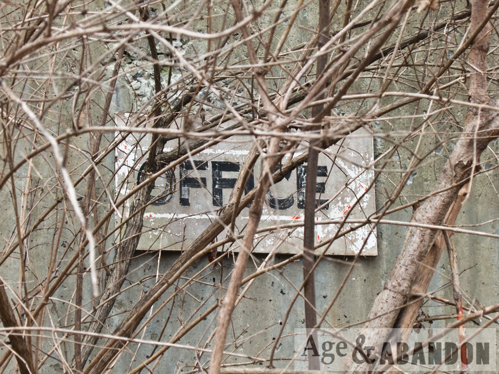
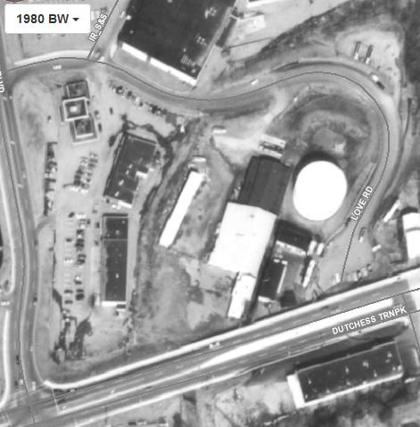
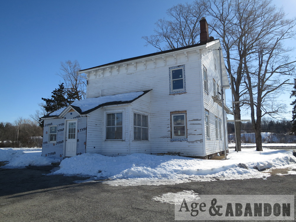
1929 and 1930 maps identify the property as owned by Paramount Oil Company and contained a filling station building and a gas pump island.  According to a city directory, Cornelius H. Otto owned a gas station at the property in 1941 along with Dutchess Oil Corp. The center of the site (93 Dutchess Tpke) was owned and operated by E. A. Urlich (or Aldrich) from the 1940s through the late 1950s as a gas station. When Route 44 was widened and elevated around 1978, 10-15 feet of the southern portion of the property was purchased through eminent domain by the State which required the gas station to be closed. Love/Effron Oil purchased the property around 1975 and operated a petroleum bulk oil storage facility on the lot until the late 1980s.  The gas station building was converted to use as an office.

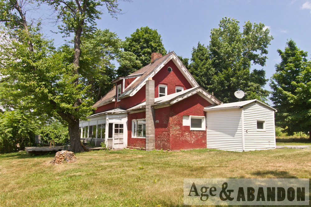
According to a city directory, Dutchess Oil Corp occupied the property from 1938 to 1955 (95 Dutchess Tpke).  City directories from 1958 to 1977 list the operator as Love Oil Corp and also Texaco Fuel Oil from 1972 to 1977. The property card listed Frances R. Finnerman as the owner in 1969 and then purchased by Love Oil Corp. in 1975, and a railtrail easement taken in 2008. From 1979 to 1982, Love Oil Corp and Texaco Fuel Oil are listed as being at 2 Love Road, which is when the road was constructed and addresses were reorganized.  The address is vacant in the 1985 directory and then listed as occupied by Advanced Heating & Cooling from 1988 to 1992 (when the city directories end).

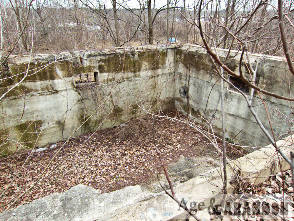
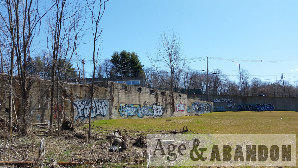
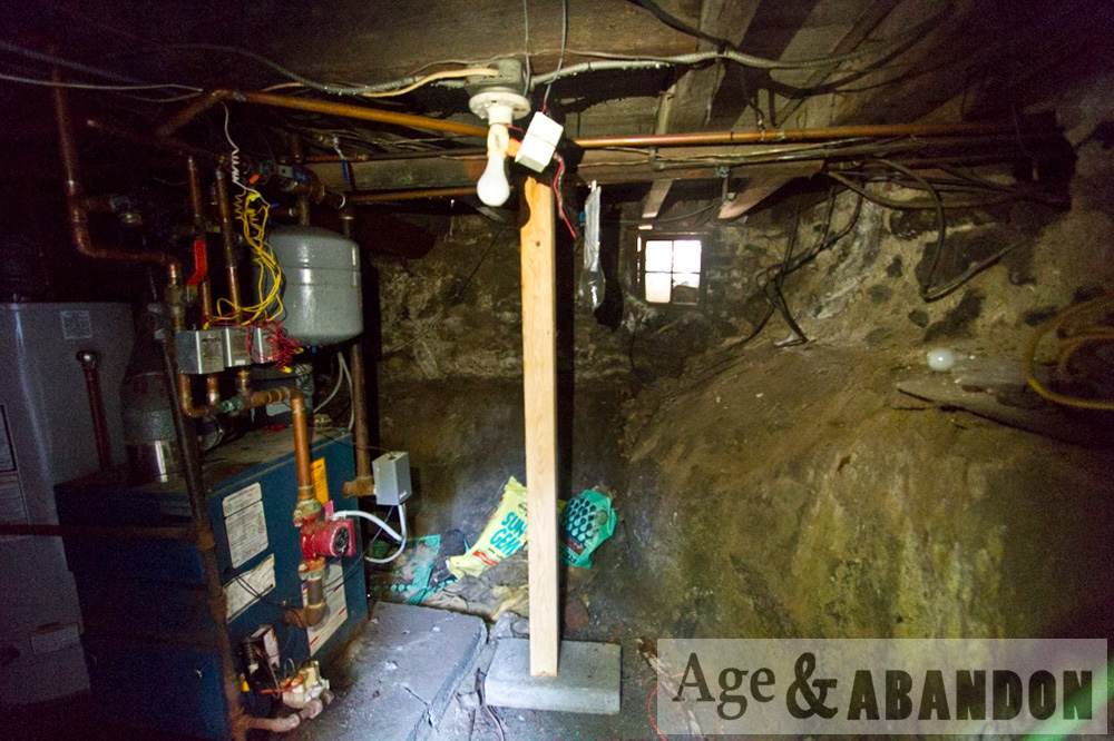
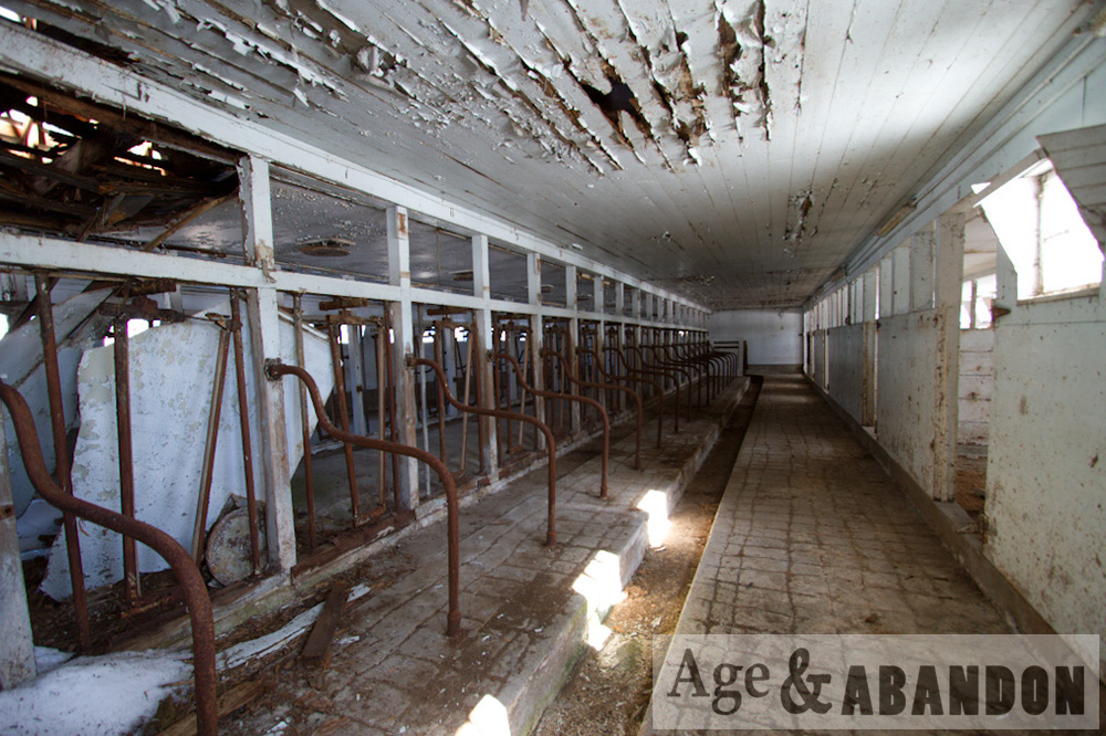
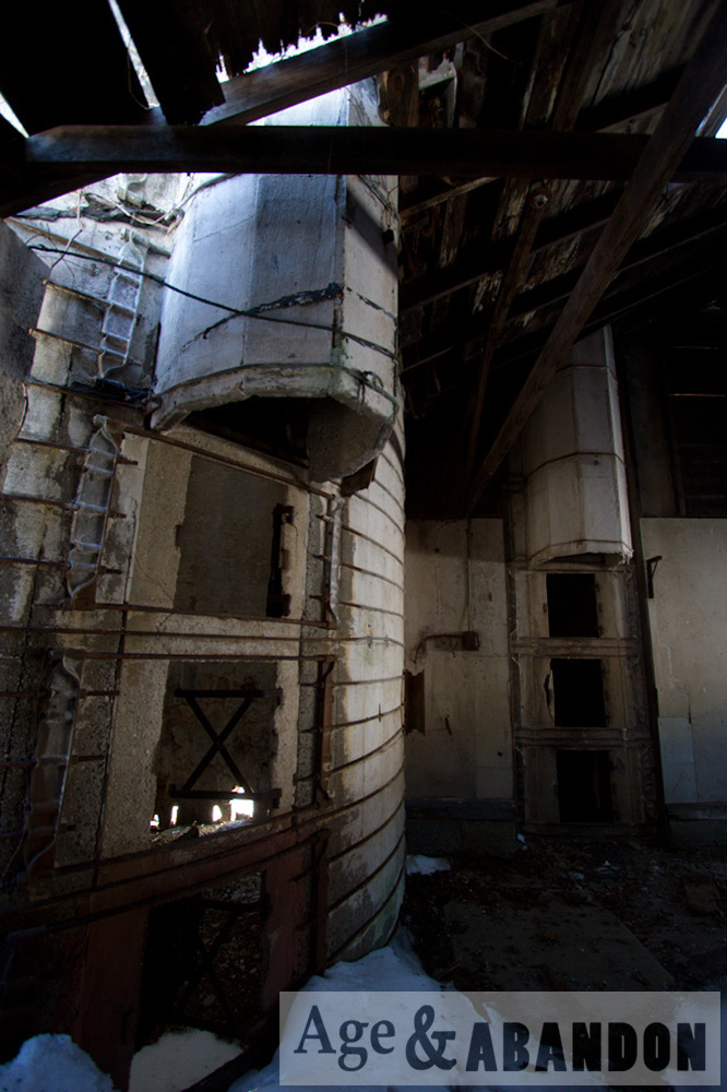
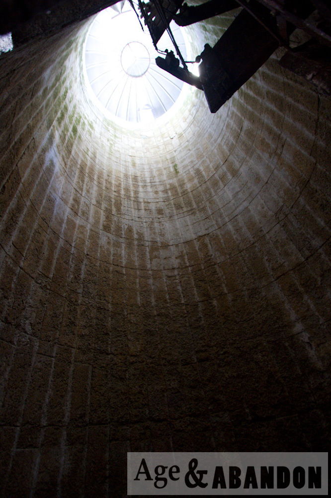
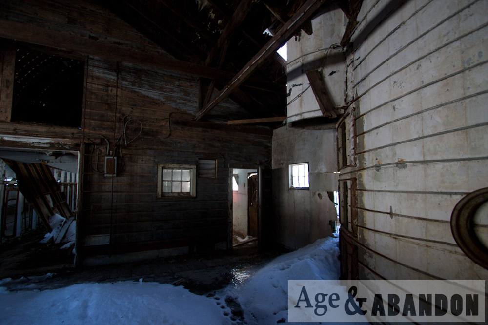
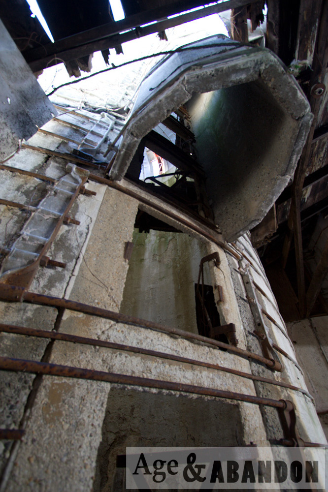
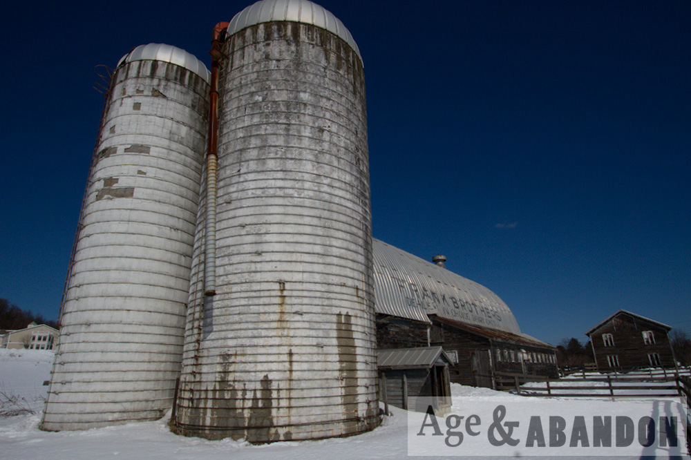
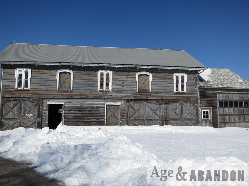
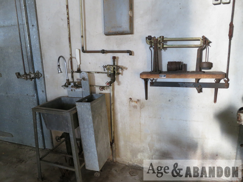
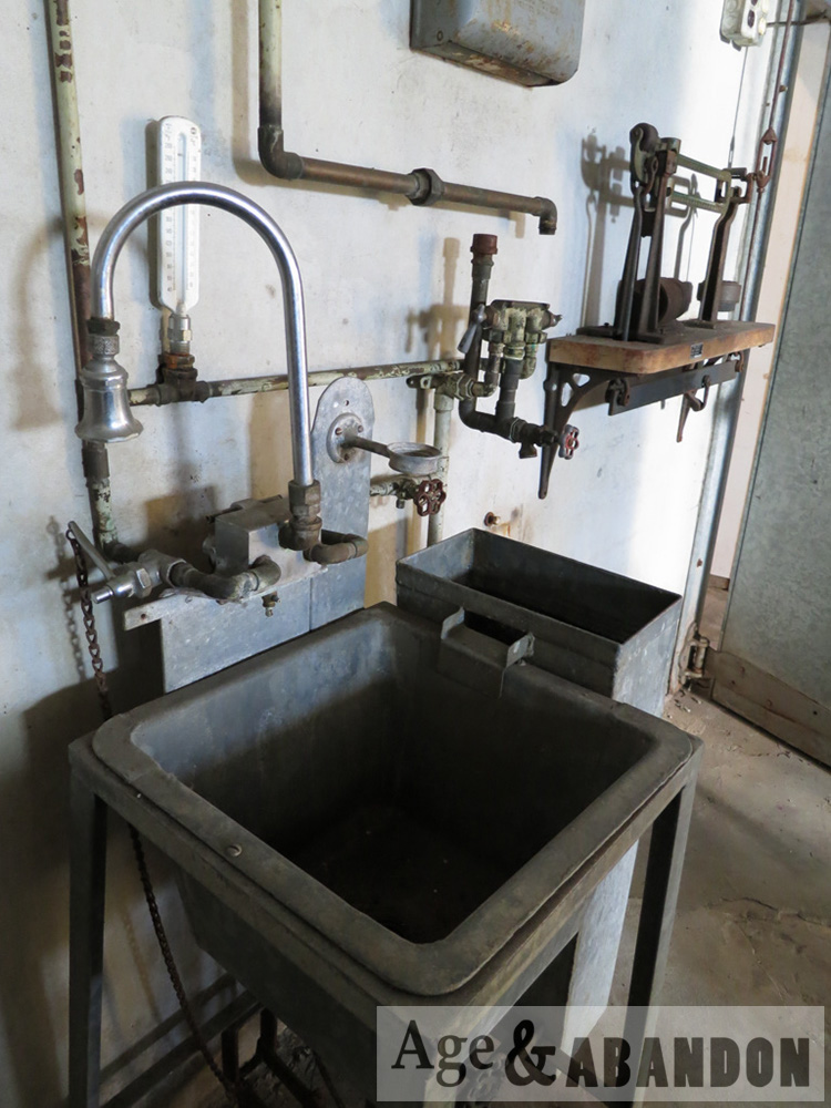
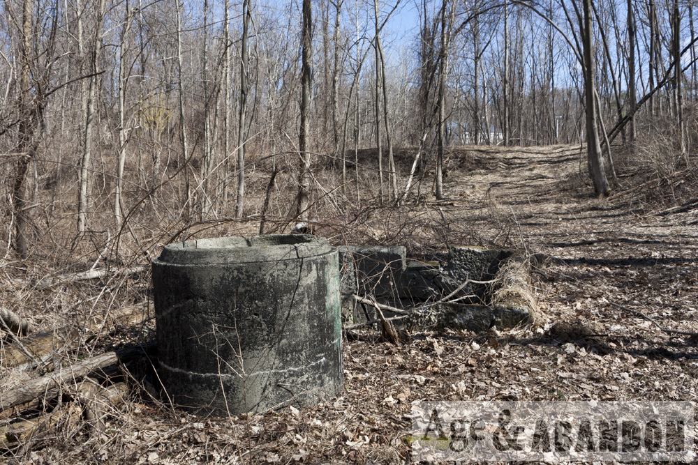
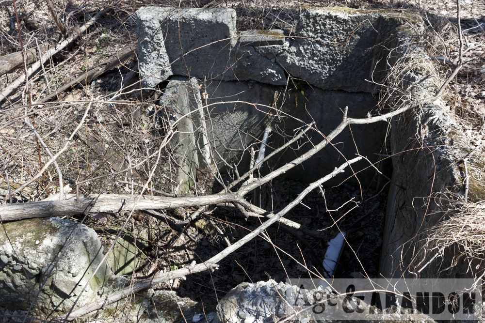
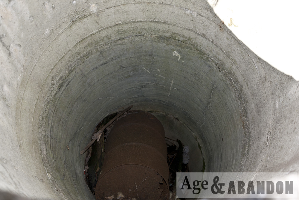
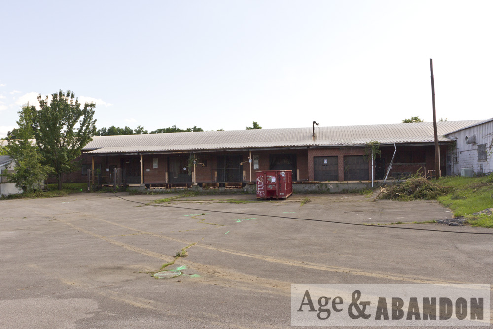
Very large oil tanks were located on the site, along with several buildings.  One of the large tanks was located in a diked storage area to the north of a foundation of a building that was likely used as a garage and/or loading facility.  Three tanks were located on a concrete pad along the fence in the central portion of the property, near what is believed to be a former truck loading facility.  Two other tanks were located on cradles between the former garage and fenced area. 83-85 Dutchess Tpke (lot 173893) contained five oil tanks: two 25,000-gal and three 18,000-gal; these tanks were removed in 1990. 87-91 Dutchess Tpke contained a 2,530,000-gallon oil tank (100’ in diameter and 40’ in height); this tank was removed in 1989.

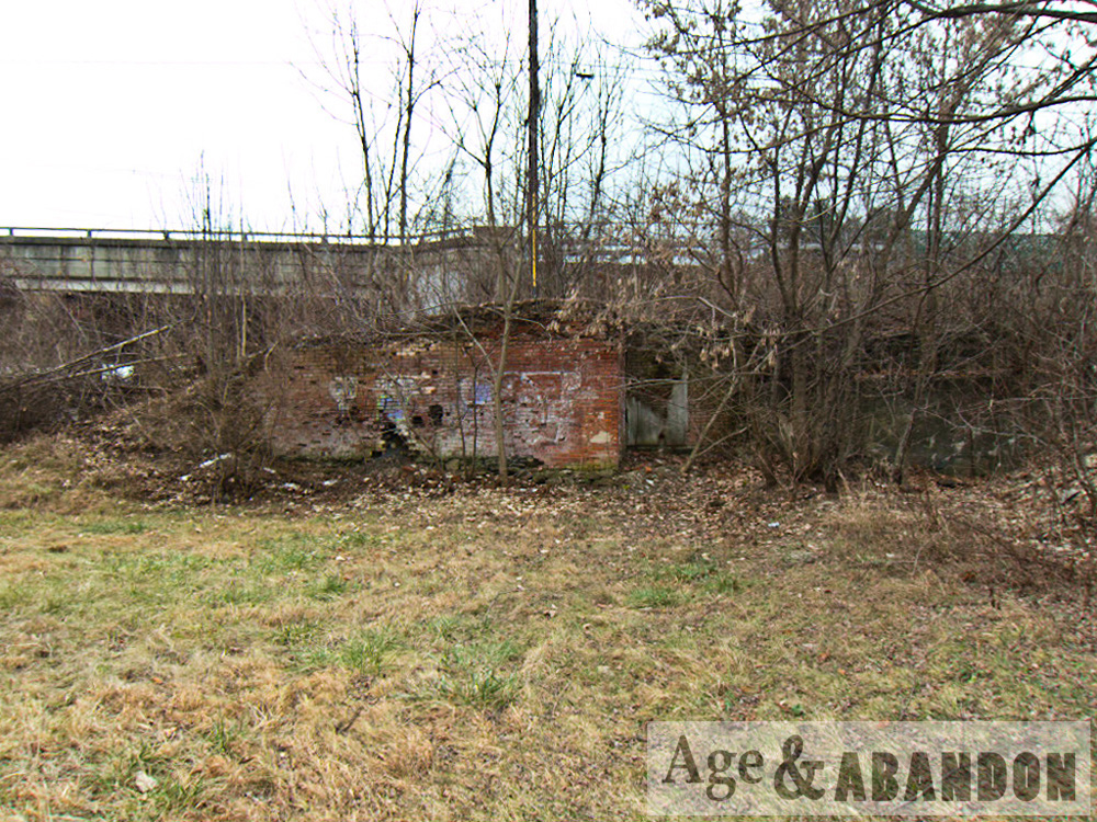
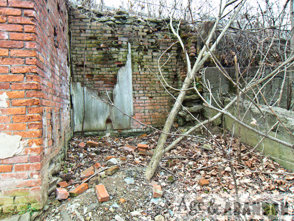
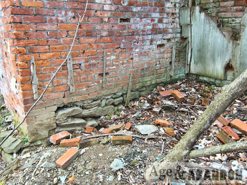
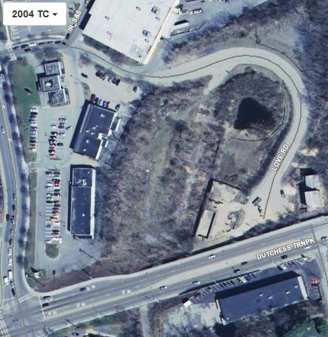
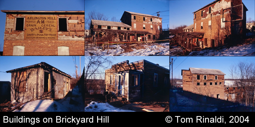
The easternmost lot (formerly lot 205886) was identified in a 1929 and 1930 map as owned by Fred Cleavaland of 12 Garfield Place, Poughkeepsie and had at least one building near the intersection of Dutchess Tpke (Route 44) and the railroad.  According to a city directory, Arlington Mill was at the property in 1938 and 1941, and the lot was vacant from 1943 until 1950.  (Photographs from 2004 by Tom Rinaldi show the building on the easternmost lot with its siding removed and an old sign for Arlington Mill uncovered, still painted on the old wood siding.)  Starting in 1950, the city directories list Adirondack Bottled Gas Corp as the occupant of the lot (97 Dutchess Tpke) until 1977.  After 1977, Adirondack Bottled Gas Corp is listed as being at 1 Love Road, which is when the road was constructed and addresses were reorganized.  Adirondack Bottled Gas Corp is listed at 1 Love Road until 1980, and then the address becomes vacant until 1988.  In 1988, Forty-Four Lumber is listed at the address. The next sequential city directory, from 1992, lists the address as vacant.

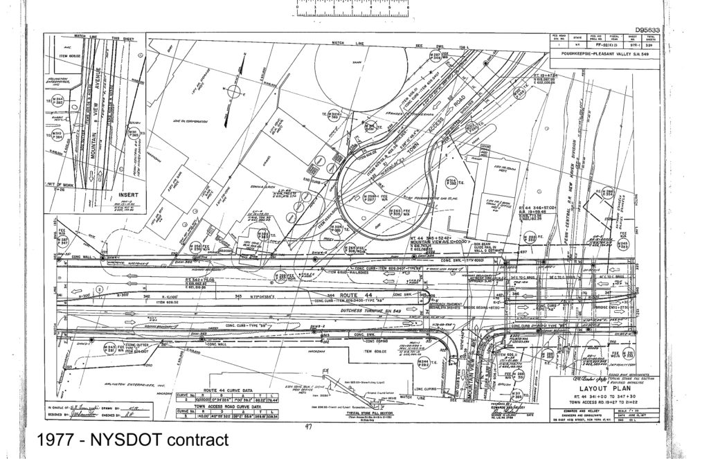
The property along Route 44 was mapped in a 1977 NYSDOT contract plan sheet showing numerous buildings and tanks of various sizes.  The properties were identified as being owned by Love Oil Corporation, Edwin A. Ulrich, and Poughkeepsie Gas Company – from east to west.

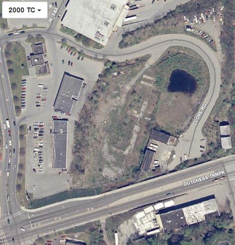
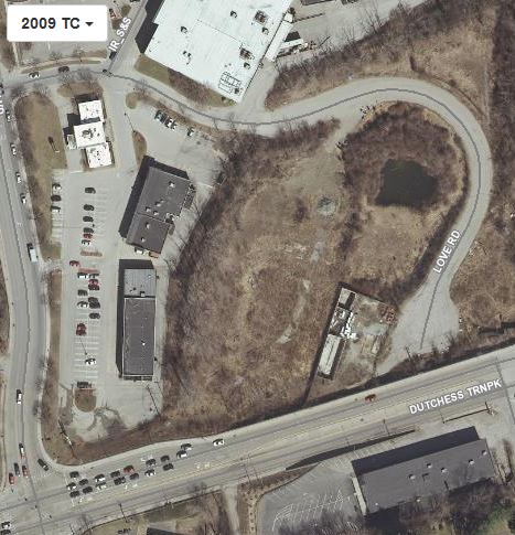
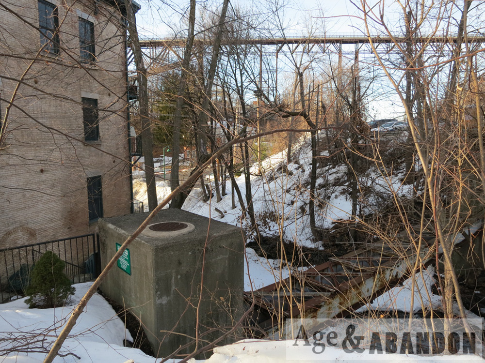
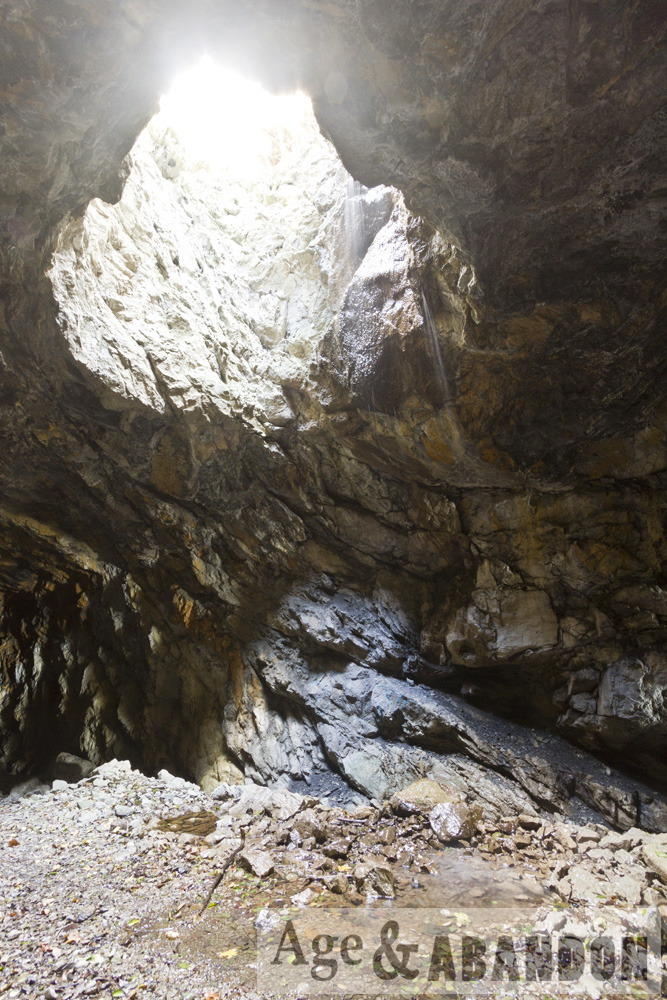
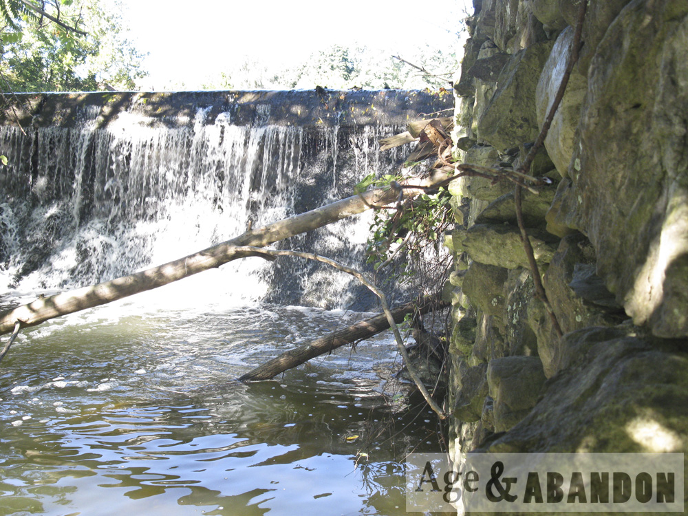
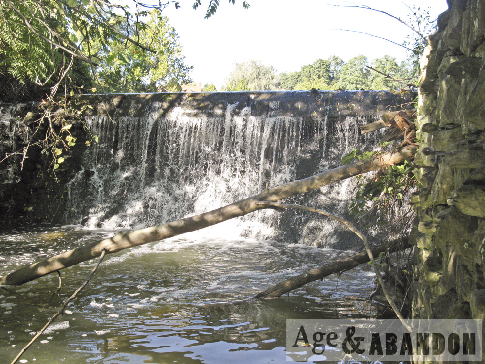
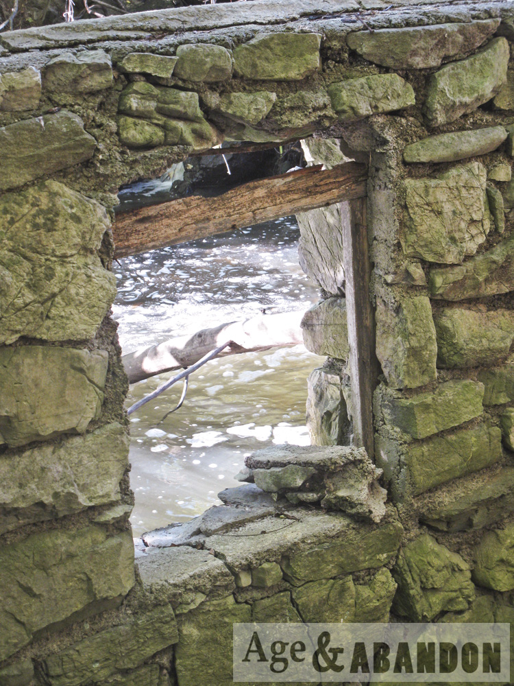
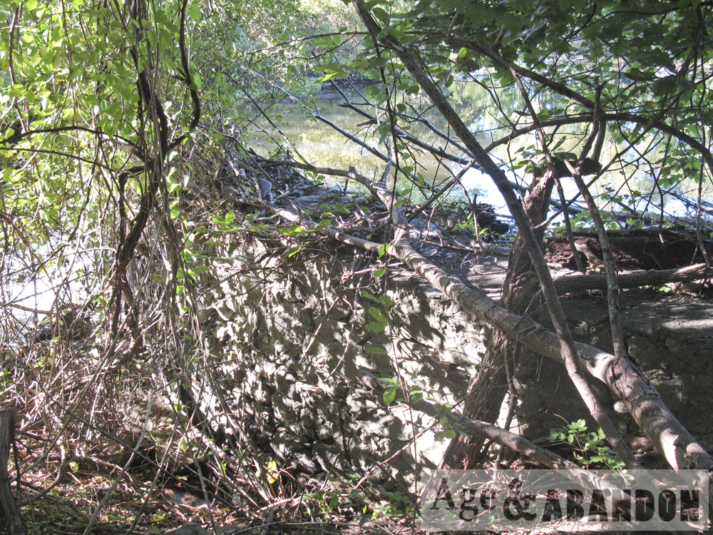
A 0.1-acre pond was located in the center of the property, north of a building foundation, which may have been part of a storm water retention system.

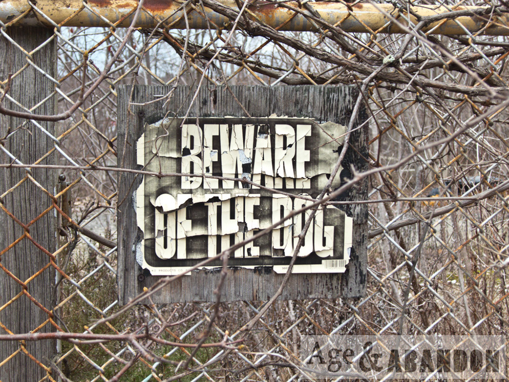
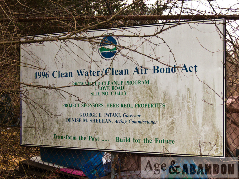
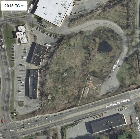
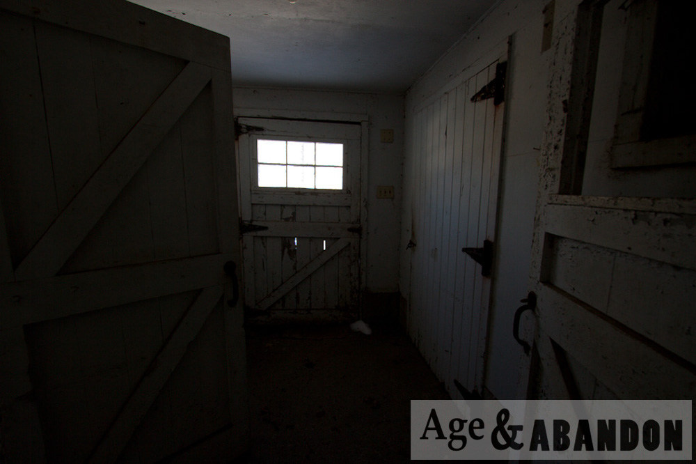
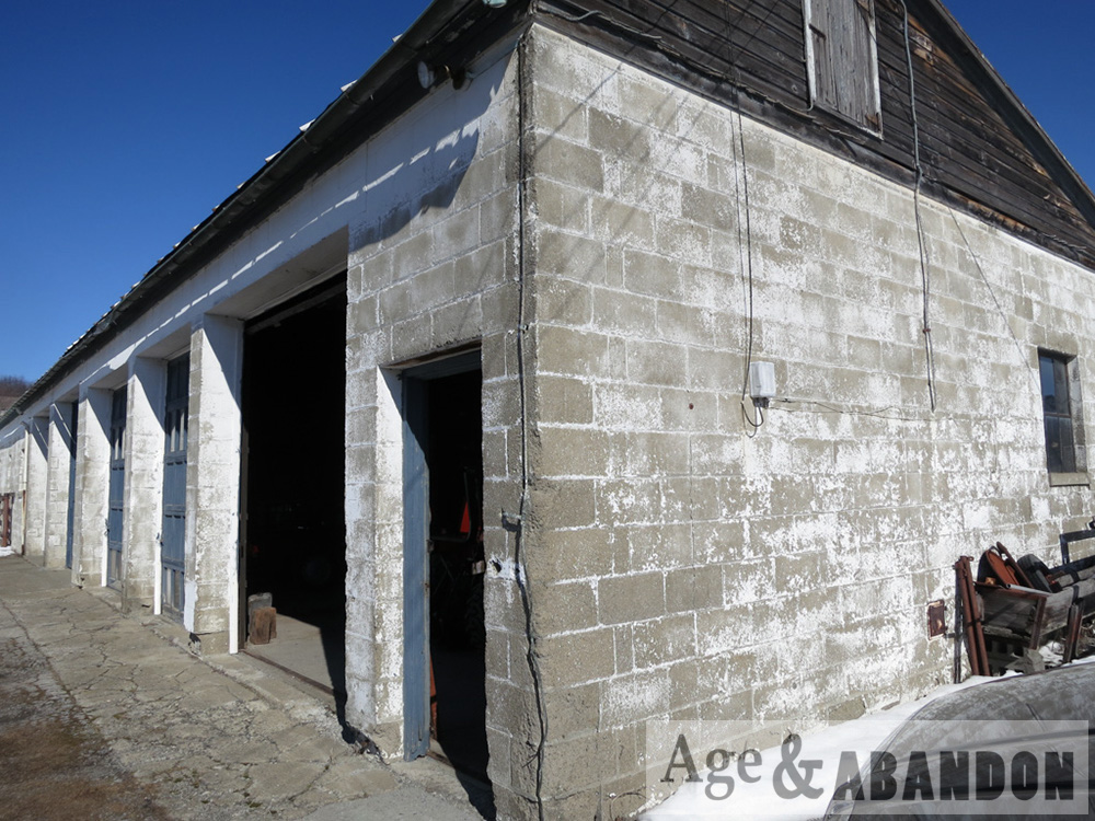
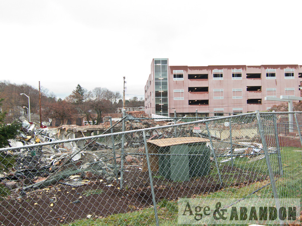
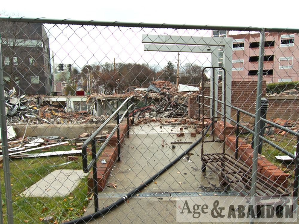
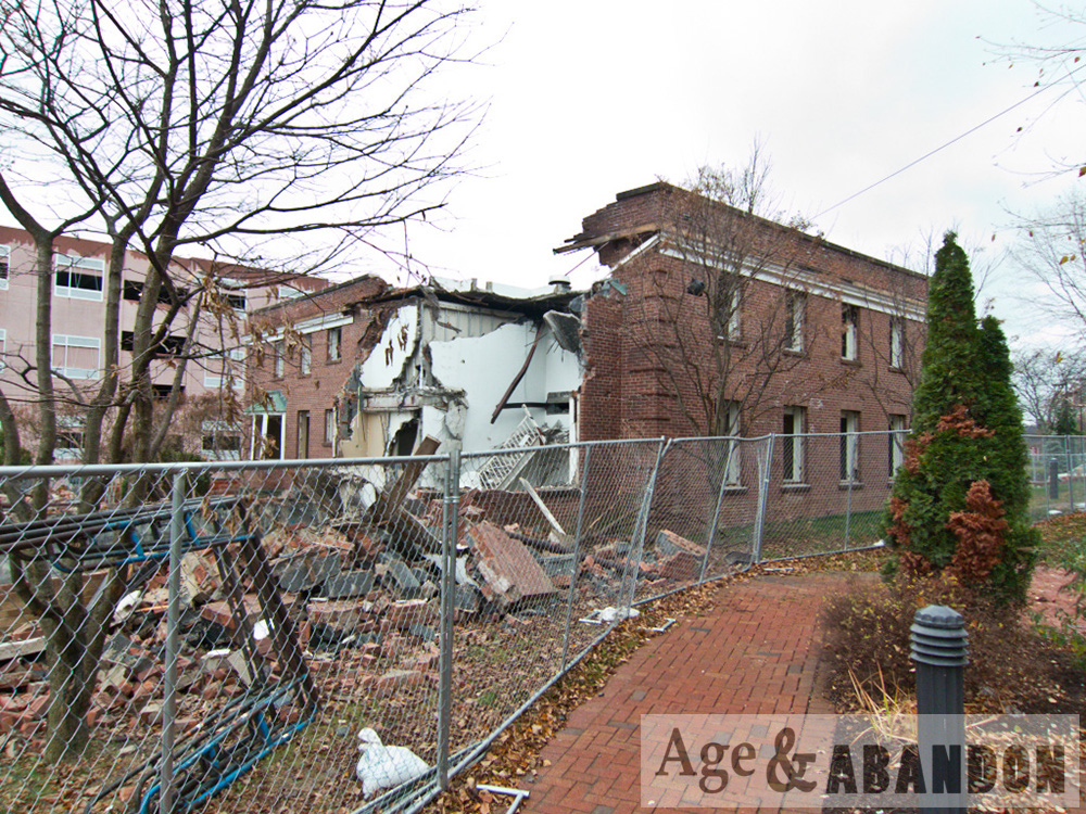
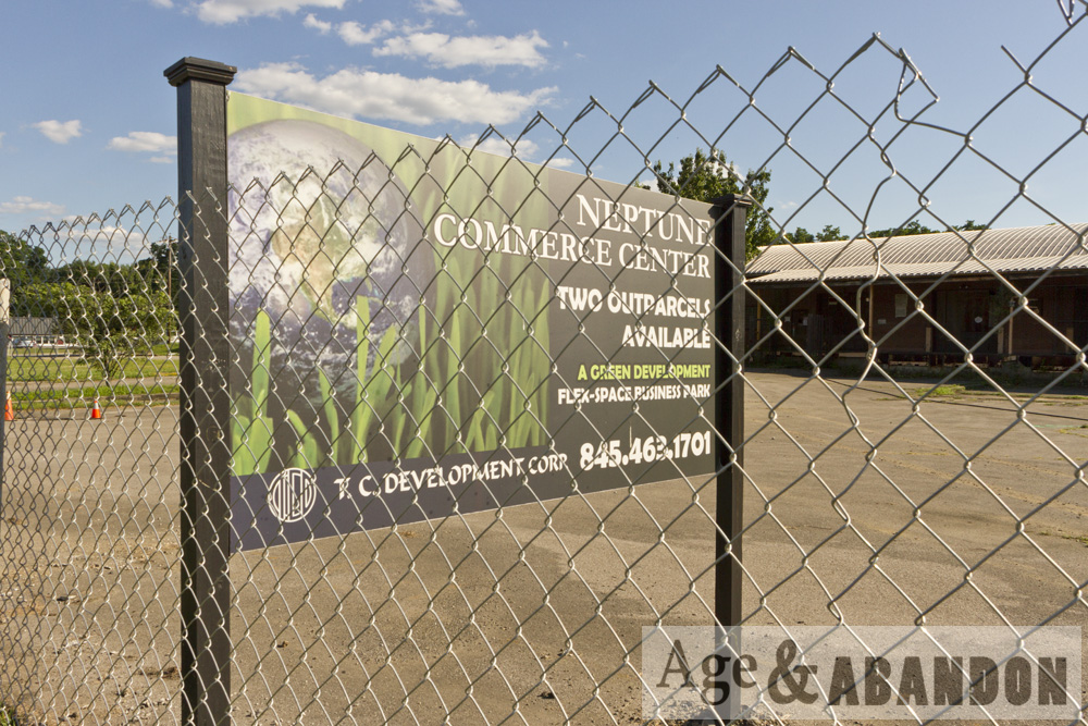
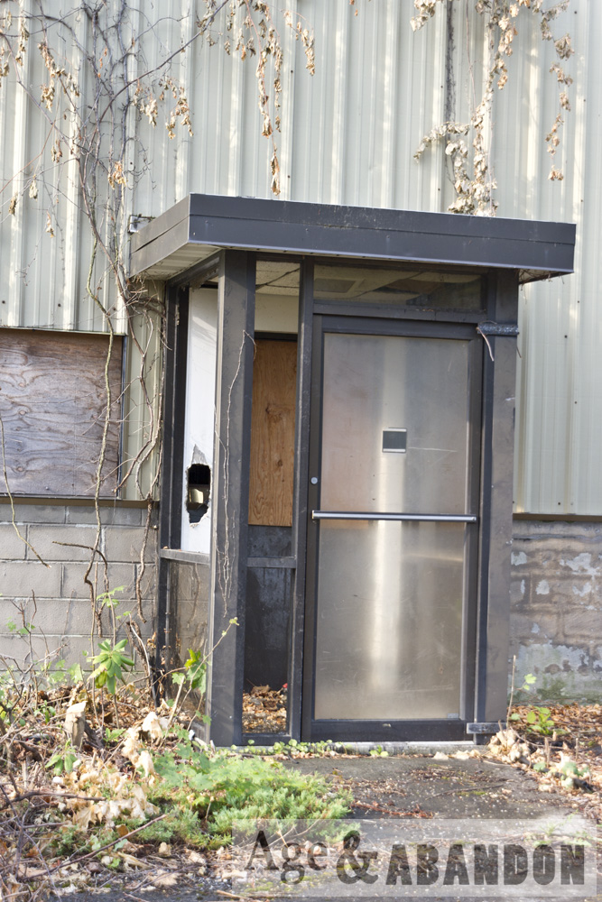
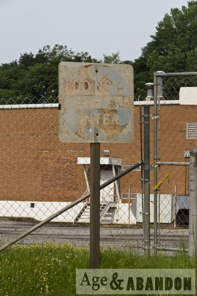
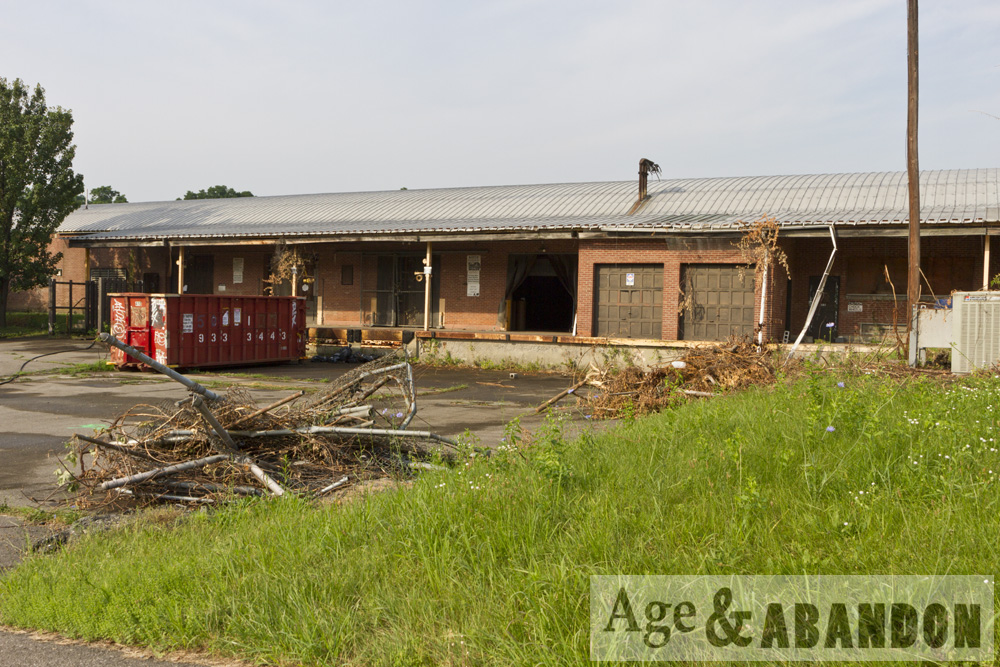
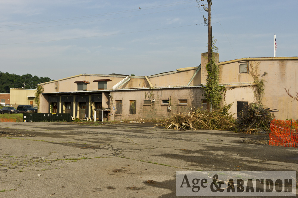
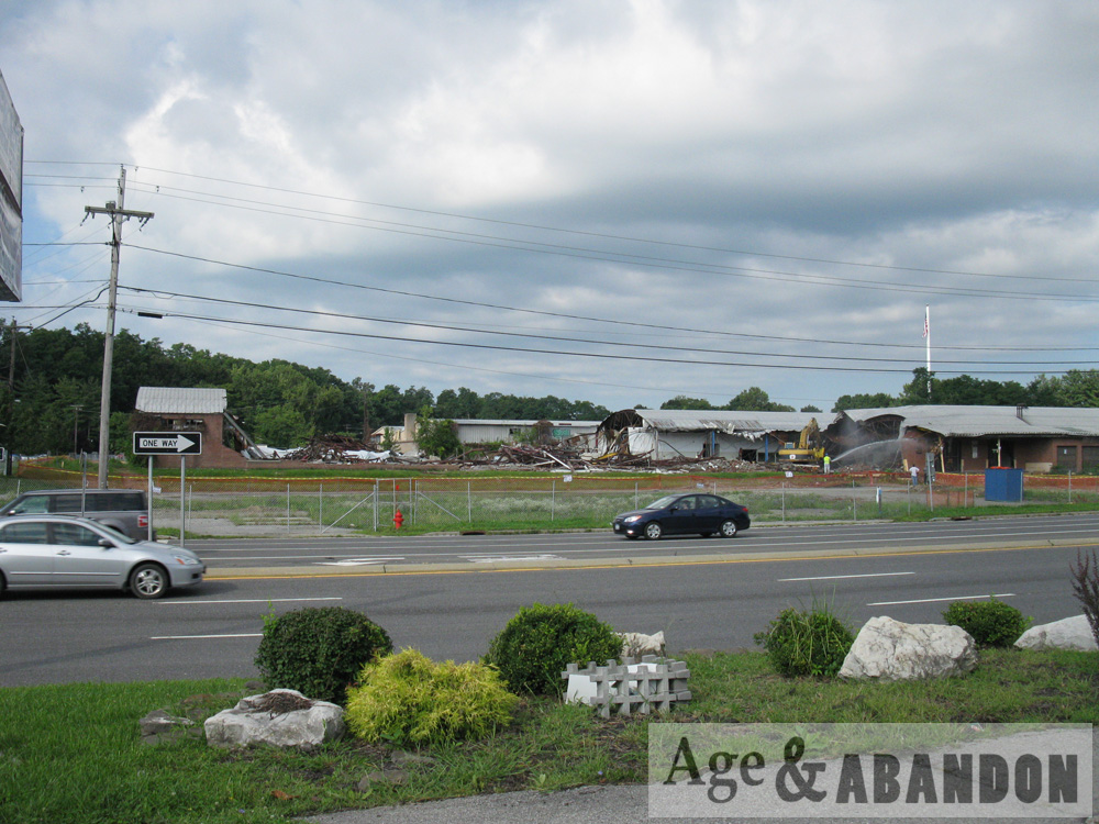
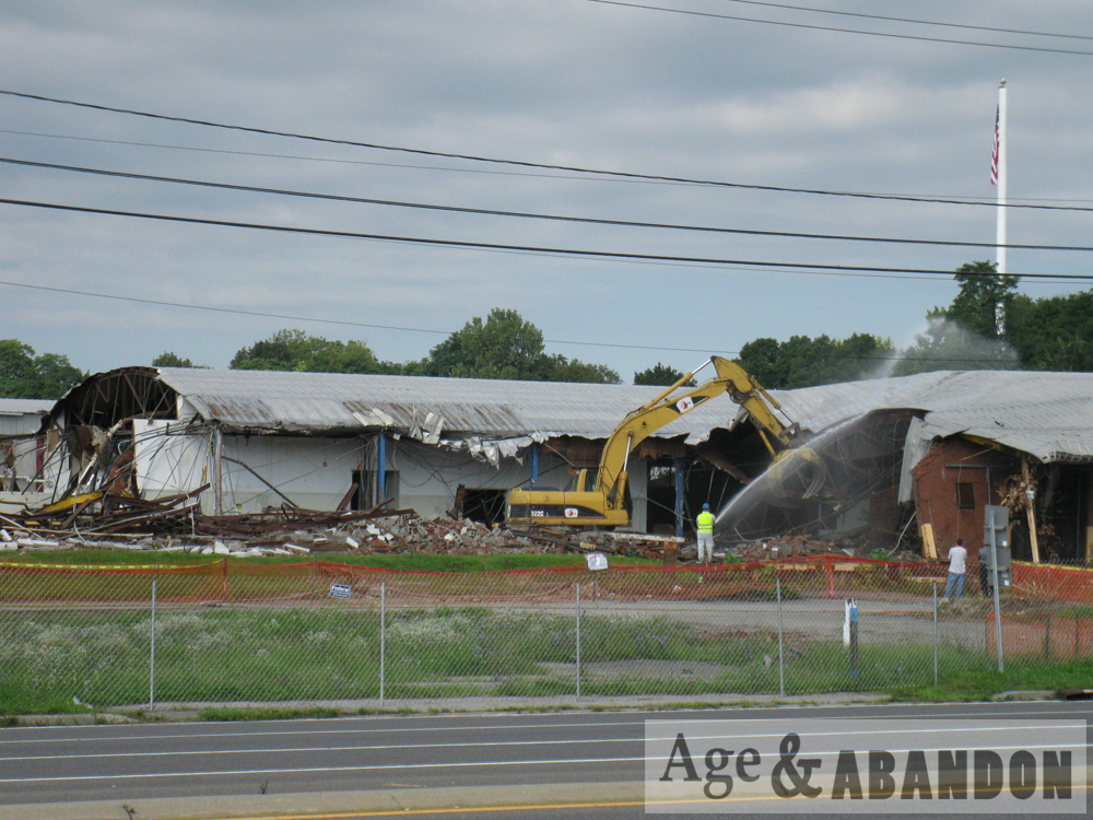
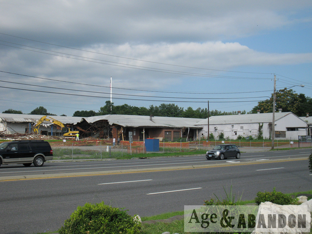
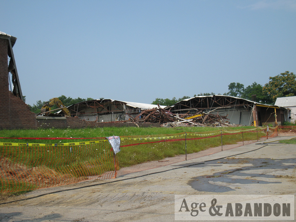
The site was completely abandoned in the 1990s. In 1993, 83-85 Dutchess Tpke (lot 173893) was owned by Robert Reed and he applied for a permit to demolish 44 Lumber at 1 Love Road/83 Dutchess Tpke. During the demolition, “an unexpected amount of debris was found buried on the site”. Multiple demolition permits were pulled for the property in 2004. Also in 2004 the site was entered into the Brownfield Cleanup Program and remediation efforts were completed in 2017.

Sources of information:
1929 NYSDOT Record Plan – PSC 5203
1930 NYSDOT Record Plan – RC 1953A
1936 Dolph-Stewart Street, Road and Property Ownership: Map of Dutchess County  New York
1977 NYSDOT Record Plan – D95633
1970s photograph by Sal Antonelli
July 2006 Site Characterization and Remedial Investigation Summary Report
July 2012 Alternatives Analysis and Remedial Work Plan
November 2017 Final Engineering and Construction Completion Report
Poughkeepsie City Directories – 1938-1992
Tom Rinaldi
Town of Poughkeepsie Property Card and Building Department records for Lot 187898 (accessed December 2018)

Location:
Concrete building- Google Maps (41.697698, -73.886719)
Brick building- Google Maps (41.697788, -73.885823)

House at 141 North Water Street, Poughkeepsie, NY

This house is located on a bluff overlooking the Hudson River.  I reviewed various historic maps and deeds, which are described below and included in the slideshow.  The online property card for the property claims the house was built in 1850, but these dates are often guesses/approximate.

1867 (Beer’s map)- The house (if it is the same building) is present at the intersection of Hoffman Street and North Hudson Street (a street that no longer exists).

1874 (bird’s eye drawing)- The house looks as it does presently with a 1.5-story main section and a 1-story addition on the south side. A 2.5-story building is located just to the east (and north). Hoffman Street is located north of the house. And west of the house is a large L-shaped factory building at least 3 stories tall.

1876 (map)- The house (if it is the same building) is on a property identified as being owned by the Fallkill Iron Company. East of the property is a vacant property owned by C. Murphy, south are houses/buildings owned by several people, north is Hoffman Street, and west is Hudson Street with a property on the other side of the street labled as “F&N National Bank” and “Wooden Ware Manufactory”.

1887 (Sanborn)- The house is surrounded on the east by a 3-story tenement building, south by another house, north by Hoffman Street at the base of a steep bank, and west by an industrial complex of the Poughkeepsie Glass Works.

1895 (Sanborn)- The house is surrounded on the east by a 3.5-story storage building (the same building as earlier), south by another house, north by Hoffman Street, and west by an industrial complex of the Poughkeepsie Glass Works.

1/9/1911: Liber 368 Page 535 – Parcel transferred from Edward S. Atwater to James and Edward Kelly. Edward S. Atwater was the Received of the Poughkeepsie Iron Company, formerly called the Fallkill Iron Company, which dissolved in August 1908 so Mr. Atwater was selling the parcel.  James and Edward Kelly both died and the parcel was passed to their heirs (and their heirs).

1913 (Sanborn)- The house is surrounded on the east by a “vacant dilapidated” 3.5-story building, south by another house, north by Hoffman Street at the base of a retaining wall, and west by an industrial complex of the Poughkeepsie Glass Works at the base of a slope.

1950 (Sanborn)- The house is surrounded on the east by A.C. Dutton Lumber Company property, south by another house, north by Hoffman Street at the base of a retaining wall, and west by various A.C. Dutton buildings (lumber warehouse #1, shop, garage) at the base of a slope.

6/24/1954: Liber 865 Page 14 – Parcel transferred from John A. Kelly, Katherine M. Edegeld, Elizabeth M. Truntner, Frank J. Kelly, Ella Kelly, Arthur E. Kelly, and John J. Kelly to William E. and Mary E. Nicalek. The parcel is described as being adjacent to Poughkeepsie Glass Works and a remaining portion of the Poughkeepsie Iron Company.

1/13/1981: Liber 1550 Page 663 – Parcel transferred from Mae E. Nicalek (of 378 Mainson St) to Donald J. and Anna M. Morrison (of 1 Hoffman St). The parcel is described as being adjacent to Poughkeepsie Glass Works and a remaining portion of the Poughkeepsie Iron Company.

5/15/2014: Parcel transferred from Anna Morrison to Water Street Development Co., LLC.

If you know anything else about the property, please let me know!

Location: Google Maps 41.712355, -73.938380

Frank Brothers Farm, Poughkeepsie, NY

This former dairy farm is located on Dutchess Turnpike/Route 44 in Poughkeepsie, NY.  These photographs were taken in 2014.  Since then, a portion of the roof of the dairy barn has stripped away.  The decorative barn was a horse barn; in general horse barns were fancier than cow barns.

According to “Poughkeepsie: Halfway Up the Hudson” by Joyce C. Ghee, the Frank Farm was started in 1929 when they purchased the property and Otto Frank “turned the land into a successful cattle farm providing both dairy products and beef for local meat-packing plants”.

More information:  Poughkeepsie: Halfway Up the Hudson (page 54)

Location:  Google Maps (41.710642, -73.866124)

Piano Factory, Poughkeepsie, NY

The “Piano Factory” building is located on North Water Street in Poughkeepsie, next to the Fallkill River.  Painted lettering on the façade names the building “Davis and Co. Piano Hammers”.  It was also previously part of the Innis Dye Works.  The building is now residential condos.

A 1980 building inventory form describes the following history:  “The building is shown on the 1887 Sanborn Map as part of “Innis and Company, Dye Works, Dye Stuffs, Extracts, Log Woods, Etc.” and was used for pulverizing and storage.  According to Platt, the Innis Company was founded by Aaron Innish prior to 1838, after which time his son, George, ran the company until 1898, ‘when the dye works industry was forced to give way to aniline dyes’. George Innis was a prominent citizen and was three times elected mayor in the 1860’s. By 1913, this edifice was a piano hammer factory, in 1934 the Poughkeepsie Dye Stuffs Corporation, and since 1935 has been used as a warehouse.”

Location:  Google Maps (41.708850, -73.938742)

Vacant Land, Poughkeepsie, NY

This formerly-developed property is located along Albany Post Road/South Road/Route 9 where it intersects with Old post Road, just north of the Poughkeepsie Galleria mall.  Remnants of its previous usage are present, including road beds and some paved areas, but little remains of any structures.  Historic aerial photos show houses were located along the road from the 1950s to the 1980s.

More information:  Historic aerial photos

Location:  Google Maps (41.629624, -73.917273)

New Hamburg Train Tunnel, Poughkeepsie, NY

This is an abandoned train tunnel just north of the New Hamburg, NY (a hamlet of Poughkeepsie) railroad station.  I also included a photo of the tunnel with the original train station.  Here is some history, taken from steamphotos.com:

“The Hudson River Railroad was chartered in 1846 to construct a route between New York City and Albany along the east bank of the Hudson River. The line was completed to Poughkeepsie in 1849 and to Albany by 1851. Just north of New Hamburg station, the railroad blasted a curved 836-foot unlined tunnel built to accommodate two tracks with a width of 24 feet and height of 18 feet at center.

“Tunnel construction began in September 1848 with the use of two vertical shafts 245 feet apart, one 45 feet deep and the other 35 feet deep from surface to tunnel ceiling. The tunnel was blasted in both directions from each shaft, as well as from the north and south ends, a total of six faces which were worked simultaneously. Construction took 16 months and completed on December 27, 1849. Use of the shafts significantly increased expenses as it required that all rock and water be hoisted to the surface and that fresh air be pumped in during blasting. However, upon completion, civil engineer Thomas Meyer estimated that use of the shafts saved more than a year of construction time as it allowed tunnel excavation to progress simultaneous to the blasting of cuts through an additional 700 feet of solid rock at the tunnel’s portals.

“The New York Central (NYC) obtained control of the Hudson River Railroad in 1864. Increased traffic on the NYC’s Hudson Division required an expansion to four tracks and realignment in New Hamburg. In 1930, the double-track tunnel was replaced with a parallel open cut which continues to serve Metro-North and Amtrak. Today, the tunnel remains in good condition and is used by Metro-North maintenance crews to access the current right-of-way north of New Hamburg. The southernmost shaft is protected at the surface with a metal grate, allowing light to enter and water to cascade from the tunnel ceiling. The northern shaft has been covered at the surface.”

More Information:  SteamPhotos

Location:  Google Maps (41.588977, -73.947286)

Former IBM Buildings, Poughkeepsie, NY

These two very long buildings were located on South Road/Route 9 and Neptune Road in Poughkeepsie.  I was told these were formerly IBM buildings.  Based on aerial photos, they were built some time between 1955 and 1970.  The buildings were demolished in 2012 and the site was redeveloped to include several restaurants.

Location:  Google Maps (41.644255, -73.923512)

More information:  Historic Aerial Photos (see 2009 versus 2016)