Lewis Country Farms, LaGrange, NY (interior photos)

Located at the intersection of Overlook Road and DeGarmo Road in LaGrange, NY, Lewis Country Farms was a local lawn & garden center.  The original structure apparently dates to the 1840s.  A historic building inventory form from 1986 identifies the site as the Ayrault Place and built in the mid-to-late 1800s and mid-1900s.  Bill Lewis opened the business as Lewis Country Farms in 1989 and it closed in the 2000s.

These photos are of the interior of the main barn.  I was given permission by the property owners to photograph the interior.  Photos of the exterior can be found here.  Work has begun to clean up the site and turn it into luxury apartments.

More information:  Building Inventory Form

Location: Google Maps (41.694541, -73.861096)

Frank Brothers Farm, Poughkeepsie, NY

This former dairy farm is located on Dutchess Turnpike/Route 44 in Poughkeepsie, NY.  These photographs were taken in 2014.  Since then, a portion of the roof of the dairy barn has stripped away.  The decorative barn was a horse barn; in general horse barns were fancier than cow barns.

According to “Poughkeepsie: Halfway Up the Hudson” by Joyce C. Ghee, the Frank Farm was started in 1929 when they purchased the property and Otto Frank “turned the land into a successful cattle farm providing both dairy products and beef for local meat-packing plants”.

More information:  Poughkeepsie: Halfway Up the Hudson (page 54)

Location:  Google Maps (41.710642, -73.866124)

Structure at Stony Kill Farm, Fishkill, NY

This structure is located on Baxtertown Road on Stony Kill Farm property.  I do not know what this structure was.  It is clearly an agricultural building, likely storage.  It is partially buried, like a root cellar, but the only way to “get in” is through the gable roof, which wouldn’t normally be open except for the decrepit nature of the structure.  I did not go inside for fear of not being able to get back out.

A structure inventory form from 1987 appears to identify the structure.  The person who was filling it out was also not sure what it was and called it either an outbuilding or a pump house.

Location: Google Maps (41.545756, -73.941204)

Lewis Country Farms, LaGrange, NY (exterior photos)

Located at the intersection of Overlook Road and DeGarmo Road in LaGrange, NY, Lewis Country Farms was a local lawn & garden center.  The original structure apparently dates to the 1840s.  A historic building inventory form from 1986 identifies the site as the Ayrault Place and built in the mid-to-late 1800s and mid-1900s.  Bill Lewis opened the business as Lewis Country Farms in 1989 and it closed in the 2000s.

These photos were taken over several visits during different seasons, and are just of the exterior.  Photos of the interior can be found here.  Work has begun to clean up the site and turn it into luxury apartments.

Also photographed is a building identified as the Lewis Landscaping located about a mile away.  As far as I know, the business is not still operating.

More information:  Building Inventory Form

Location:

Sleight Farm Property, LaGrange, NY

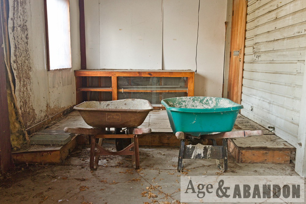
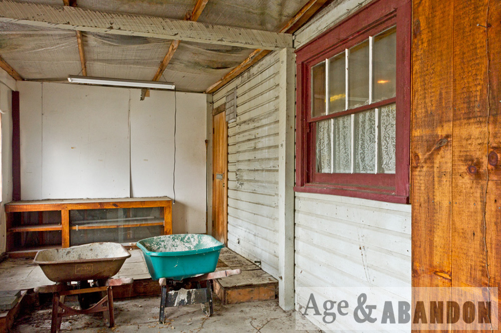
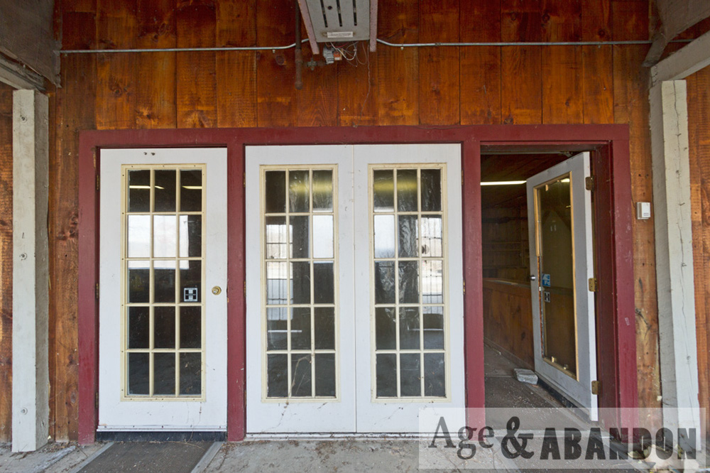
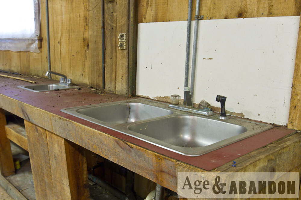
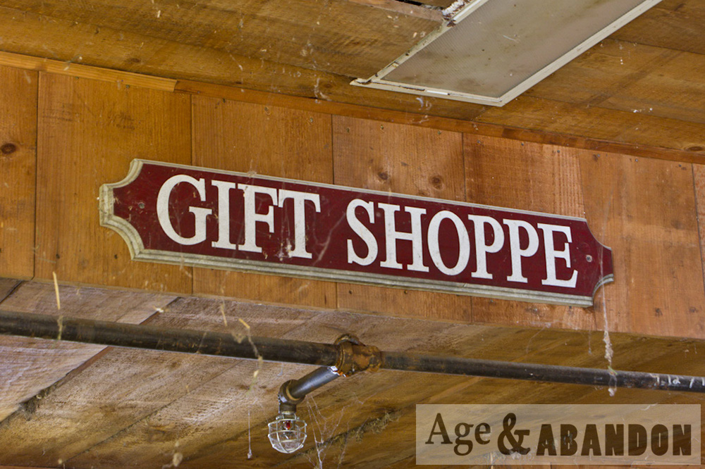
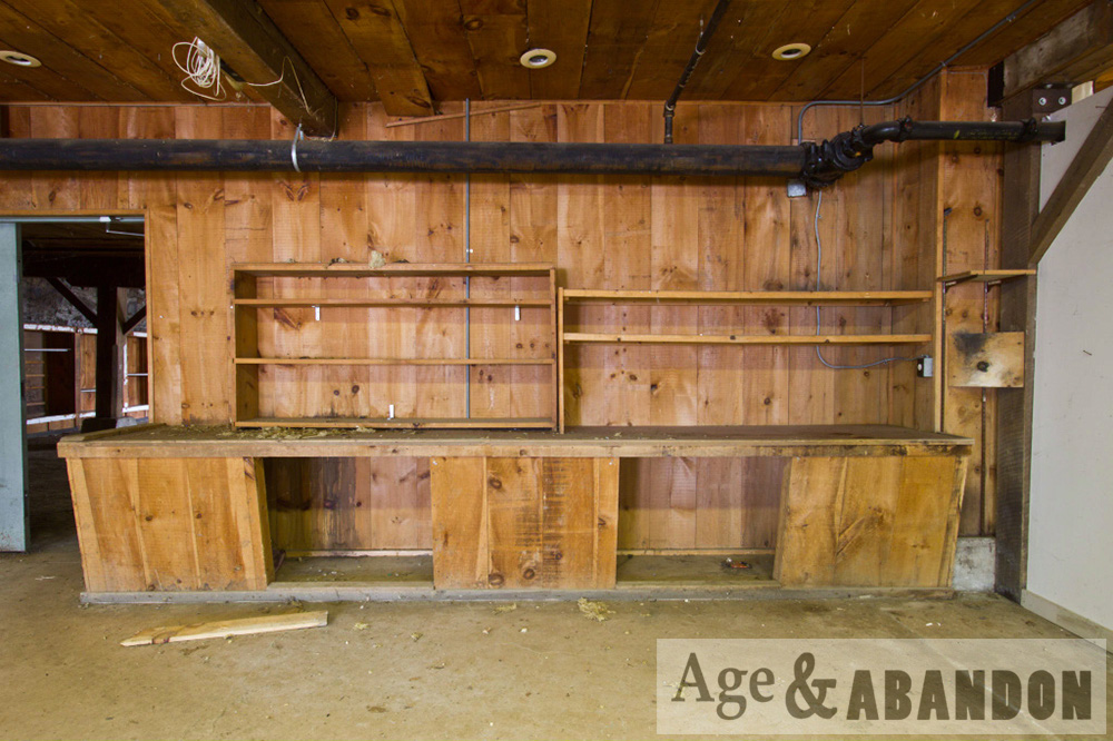
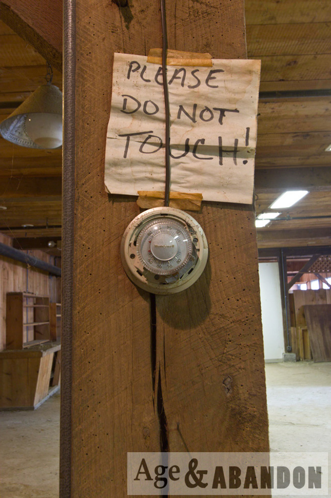
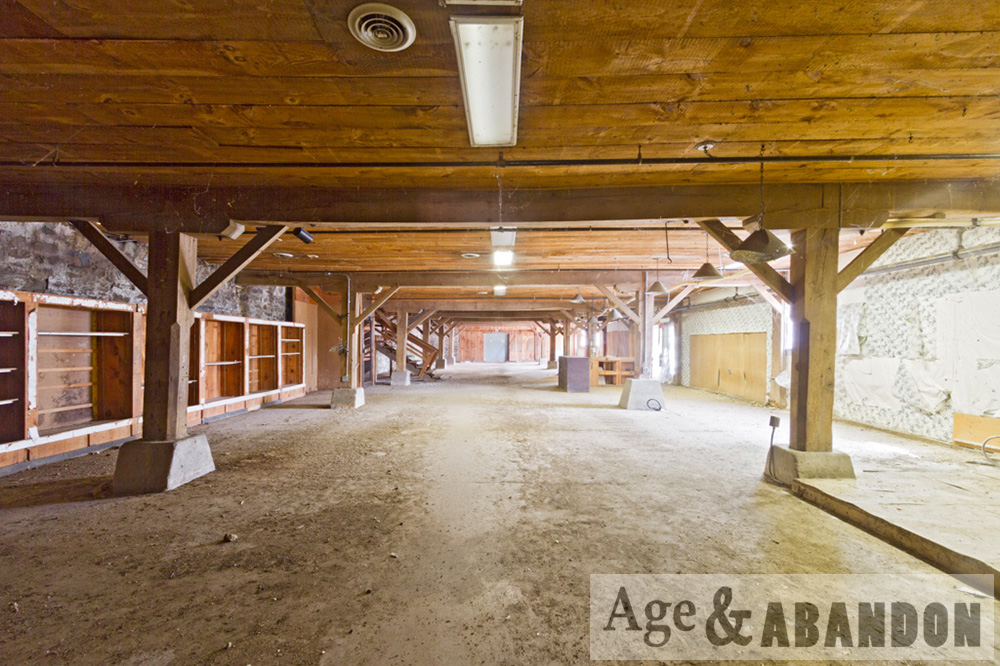
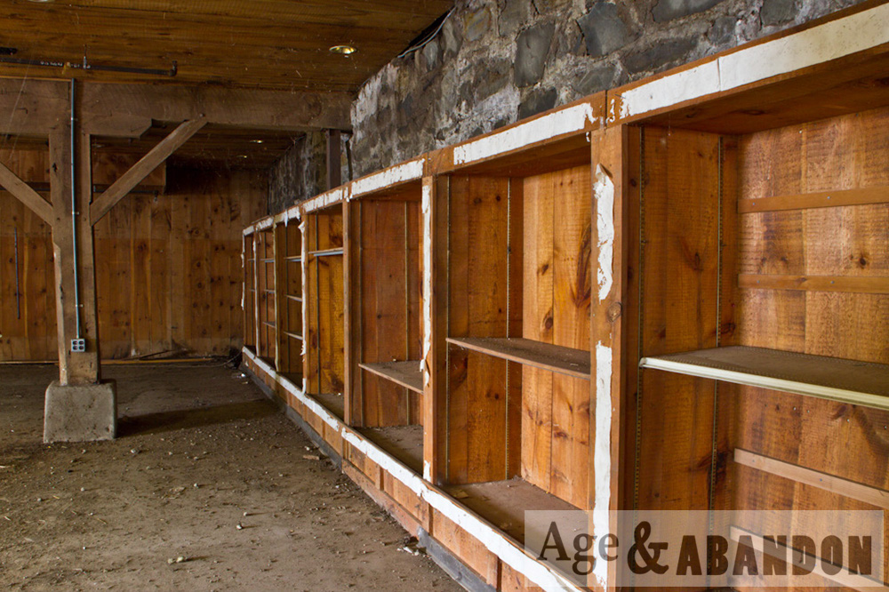
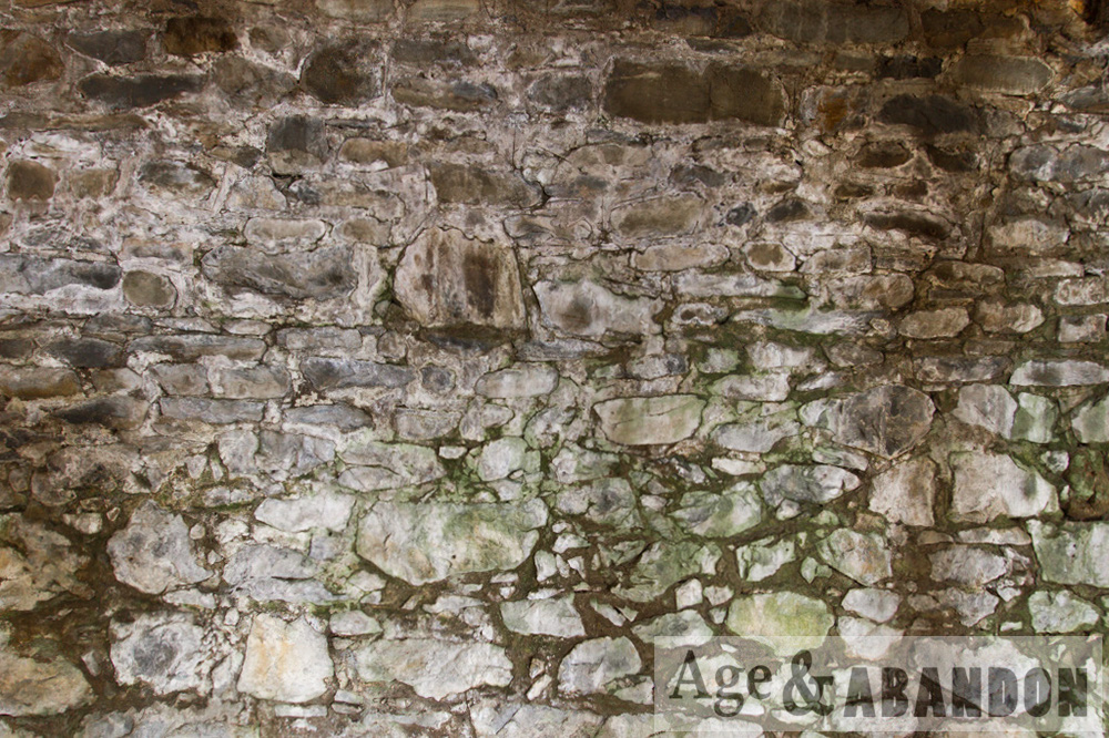
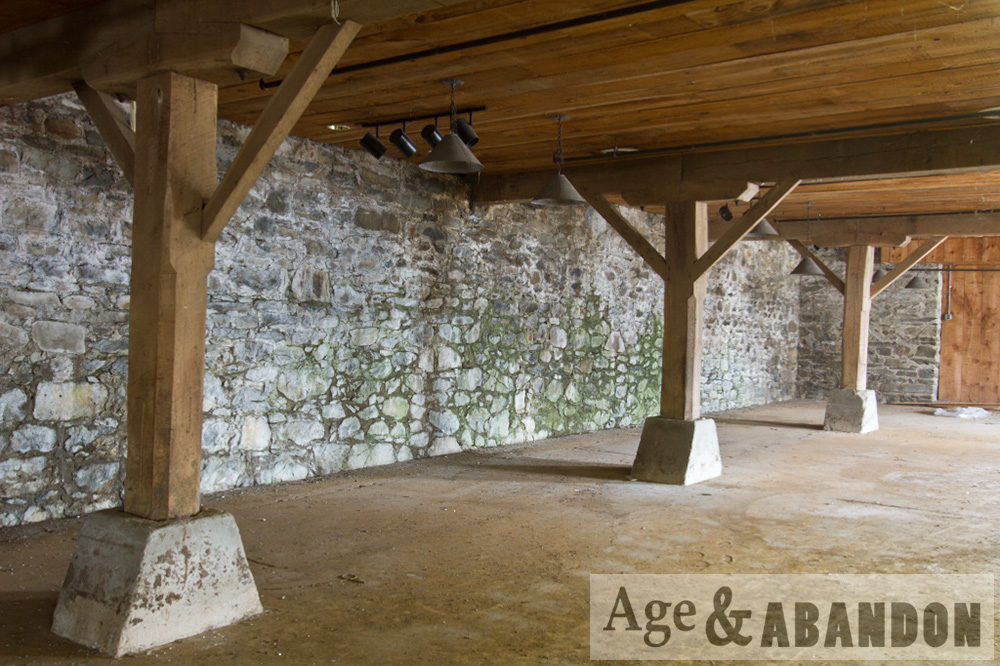
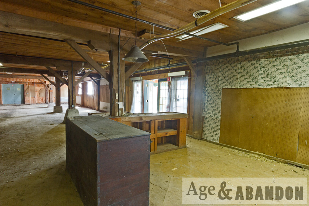
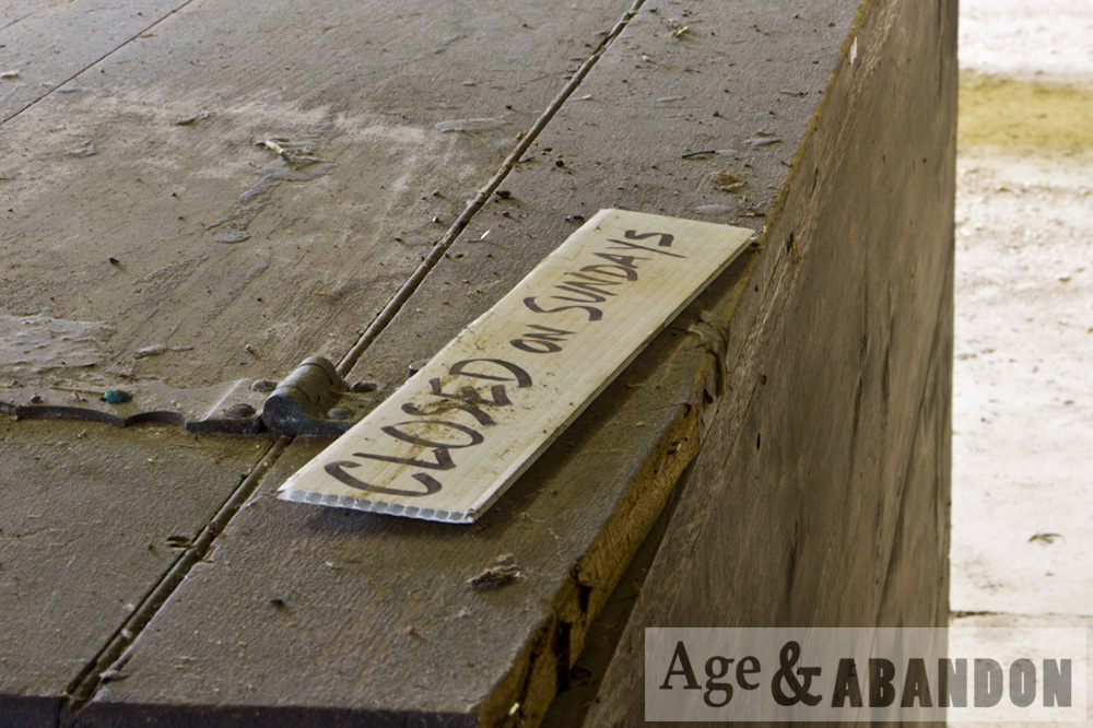
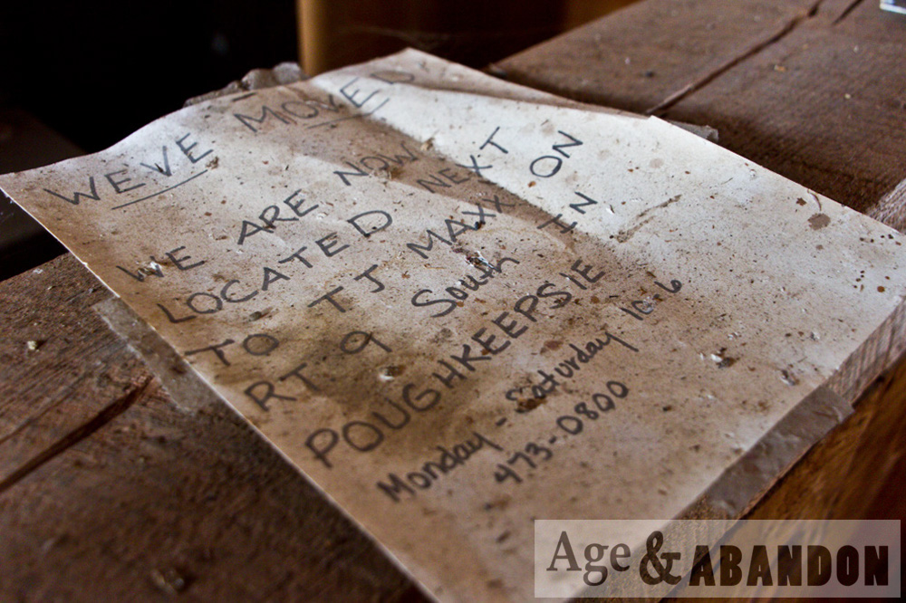
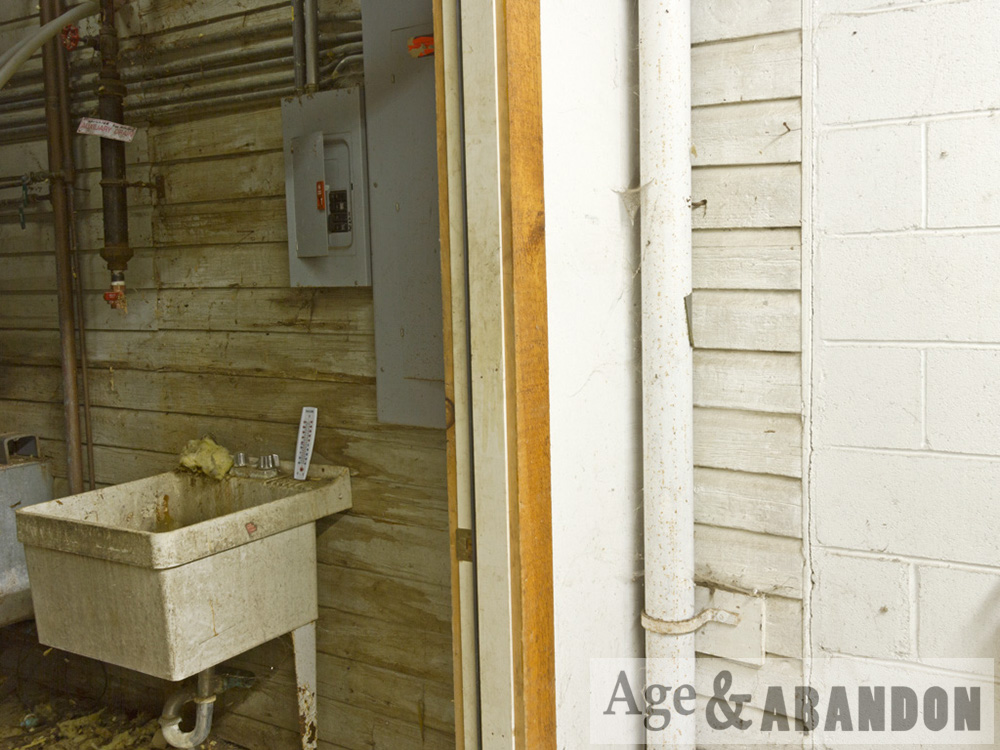
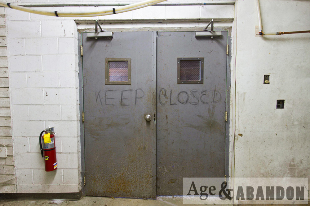
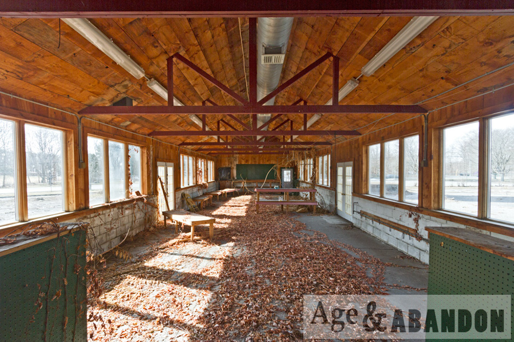
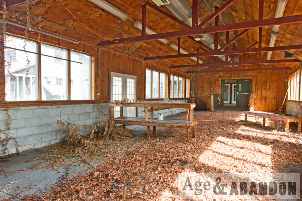
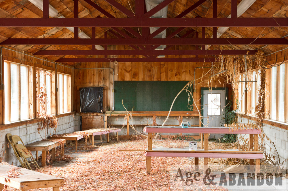
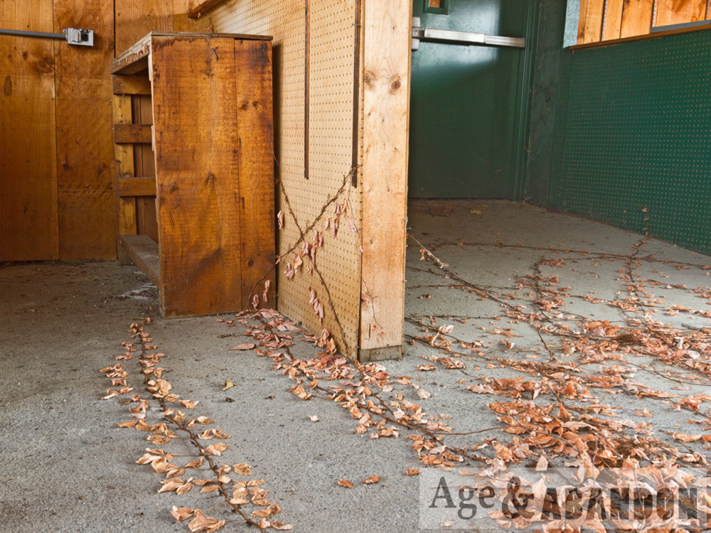
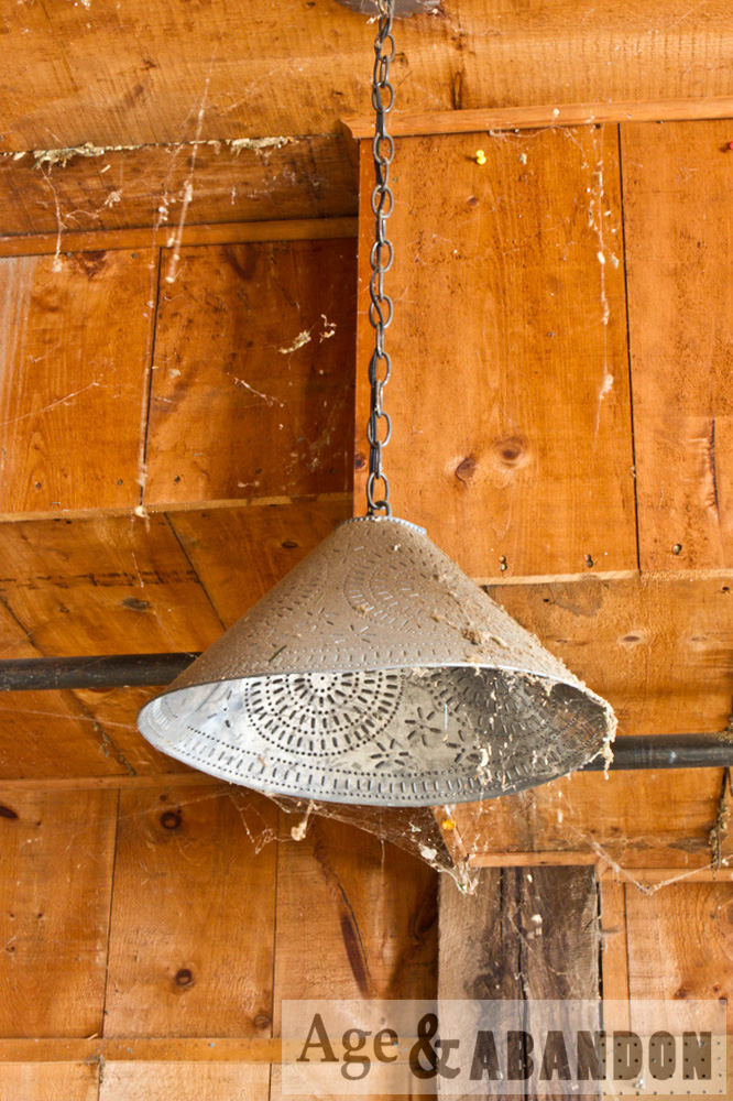
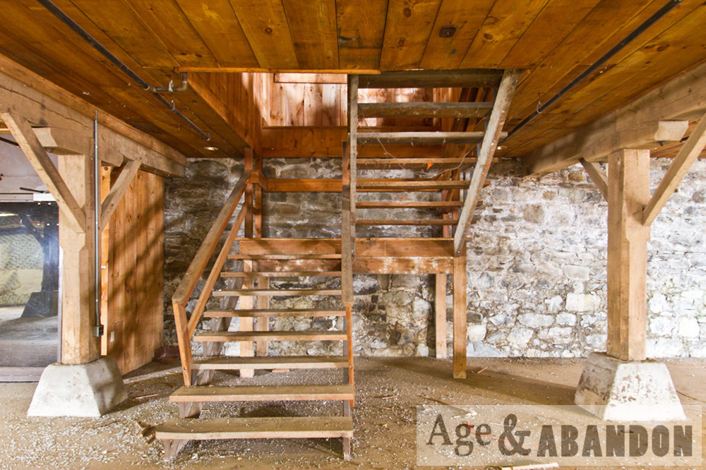
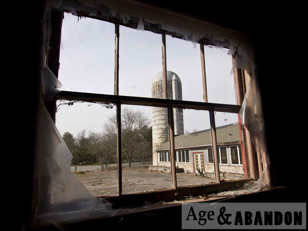
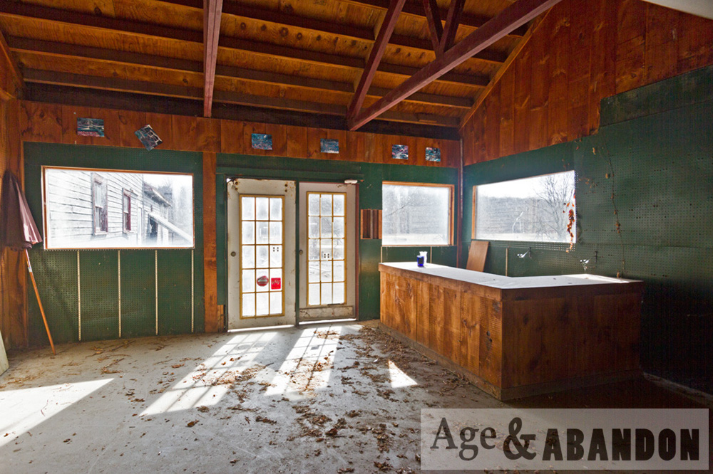
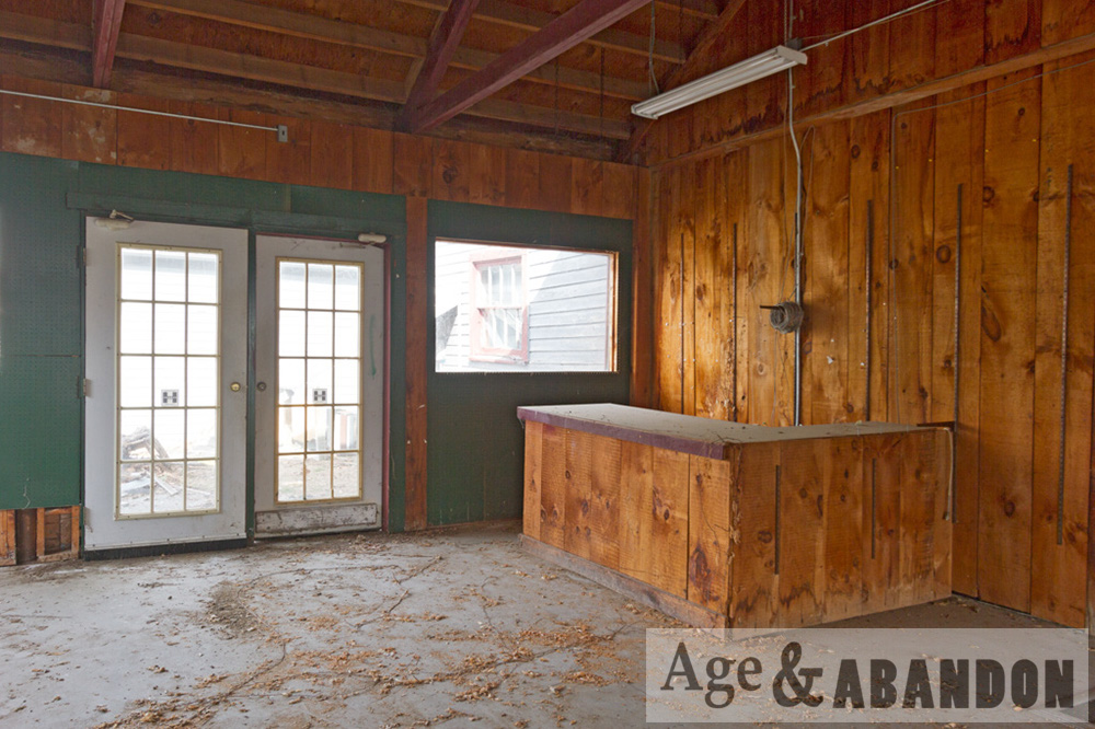
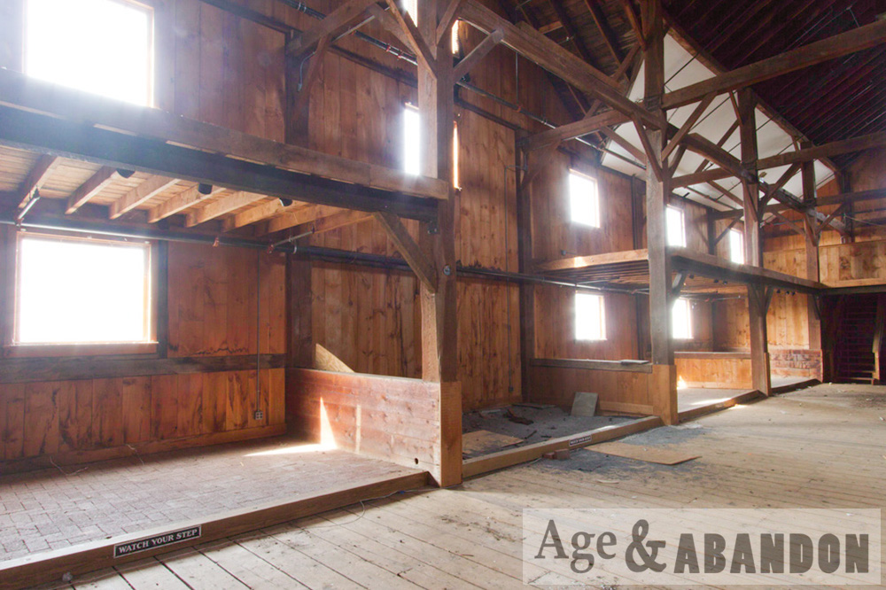
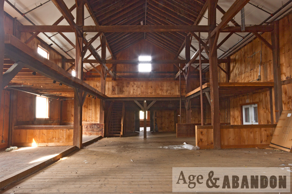
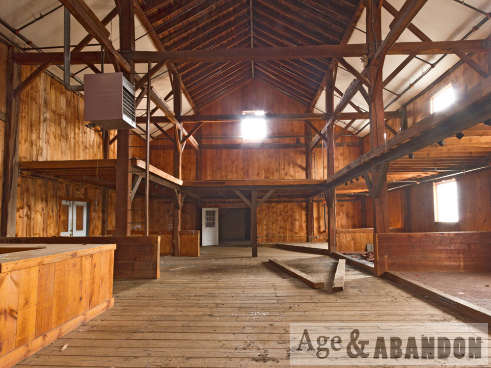
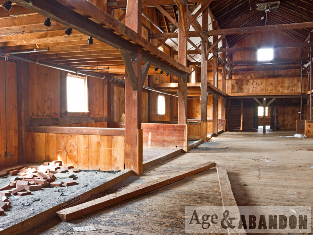
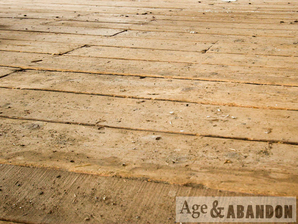
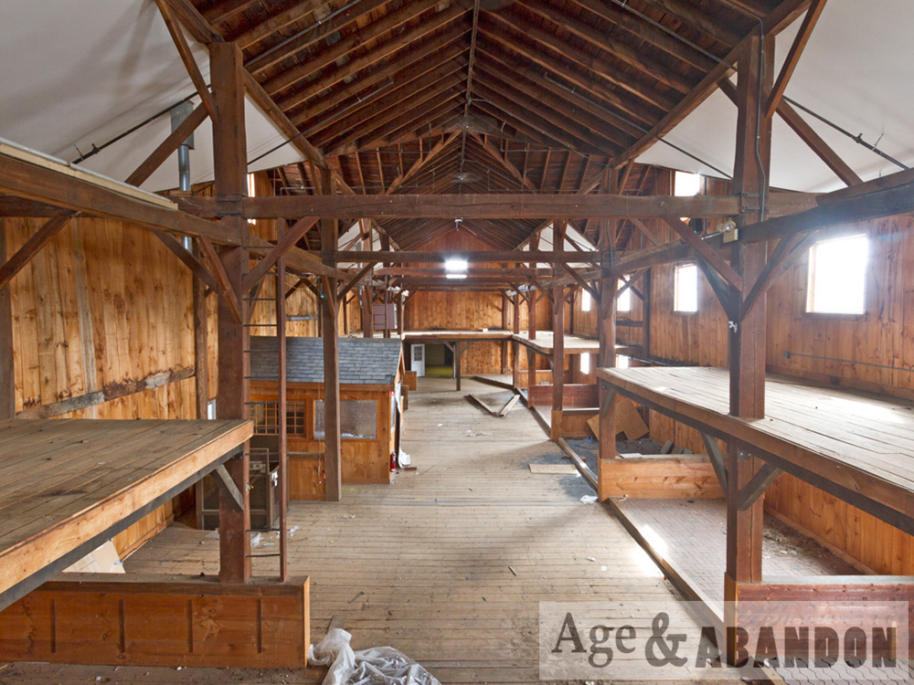
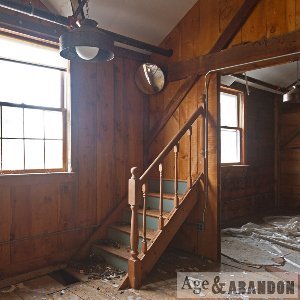
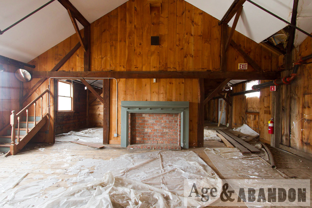
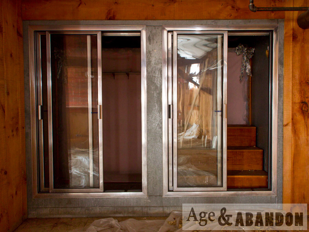
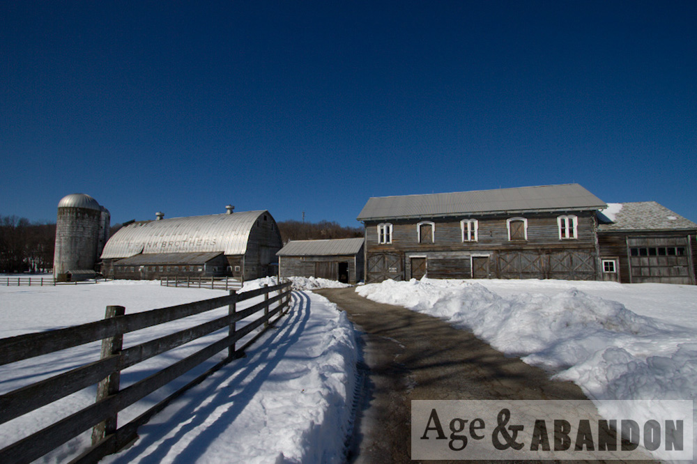
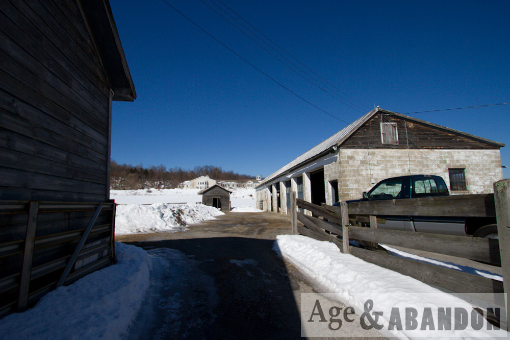
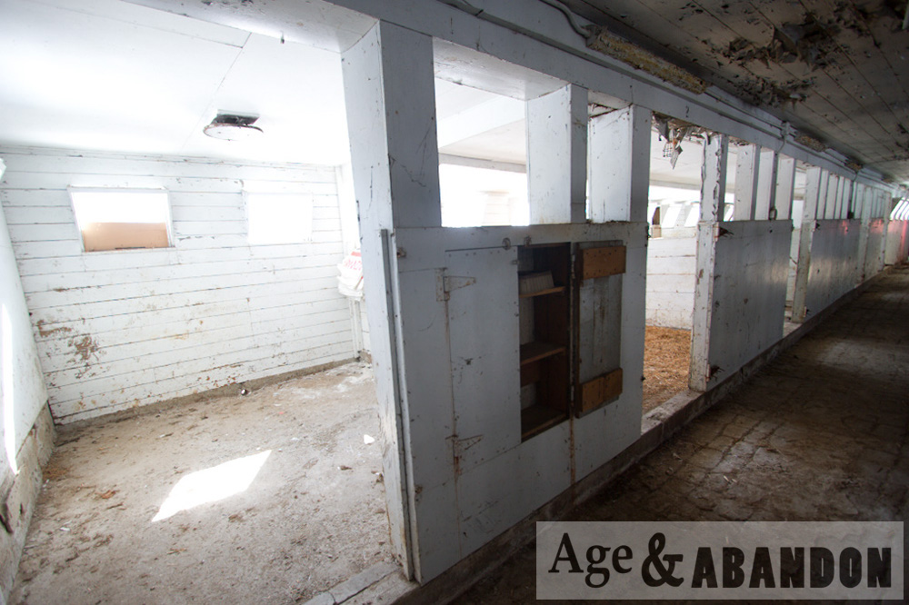
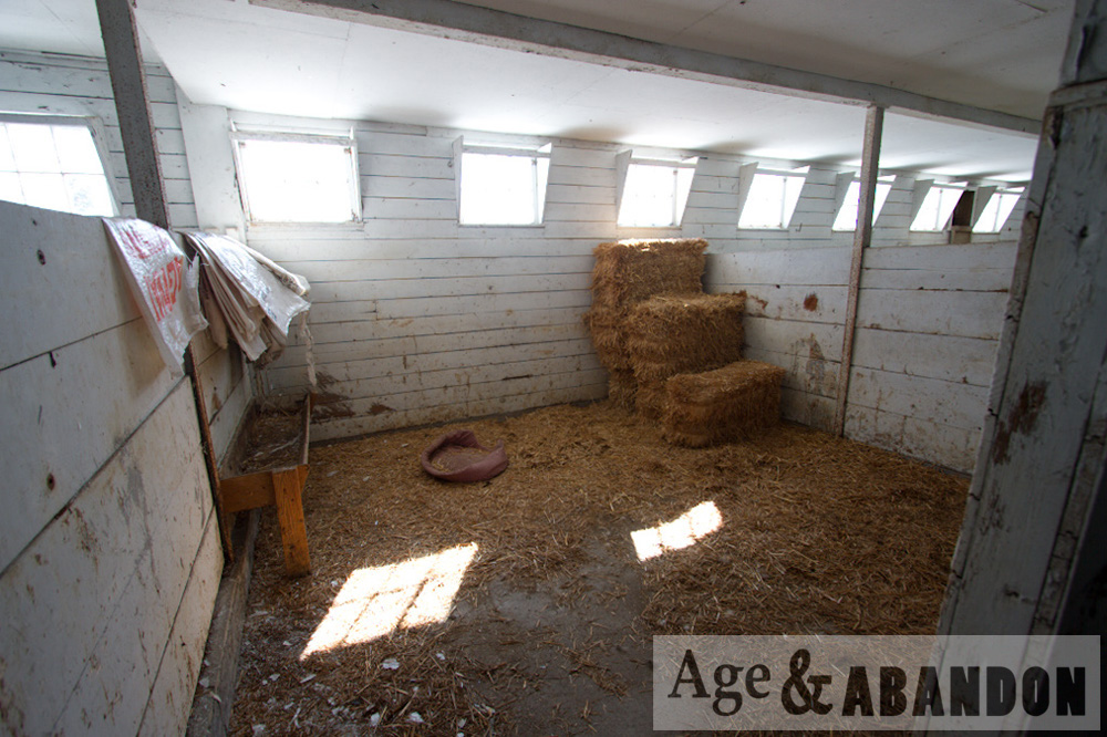
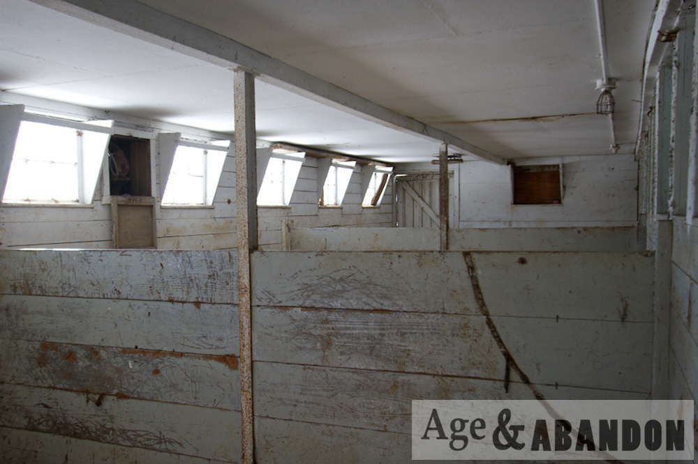
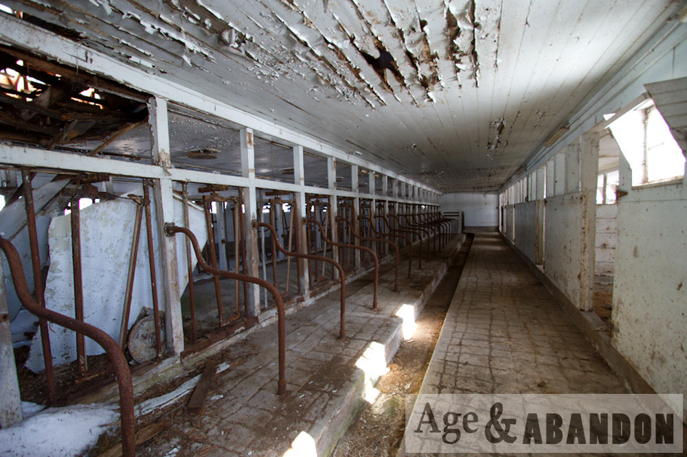
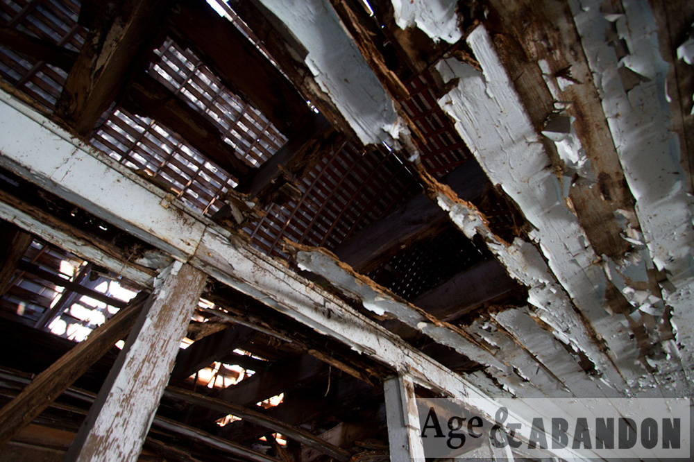
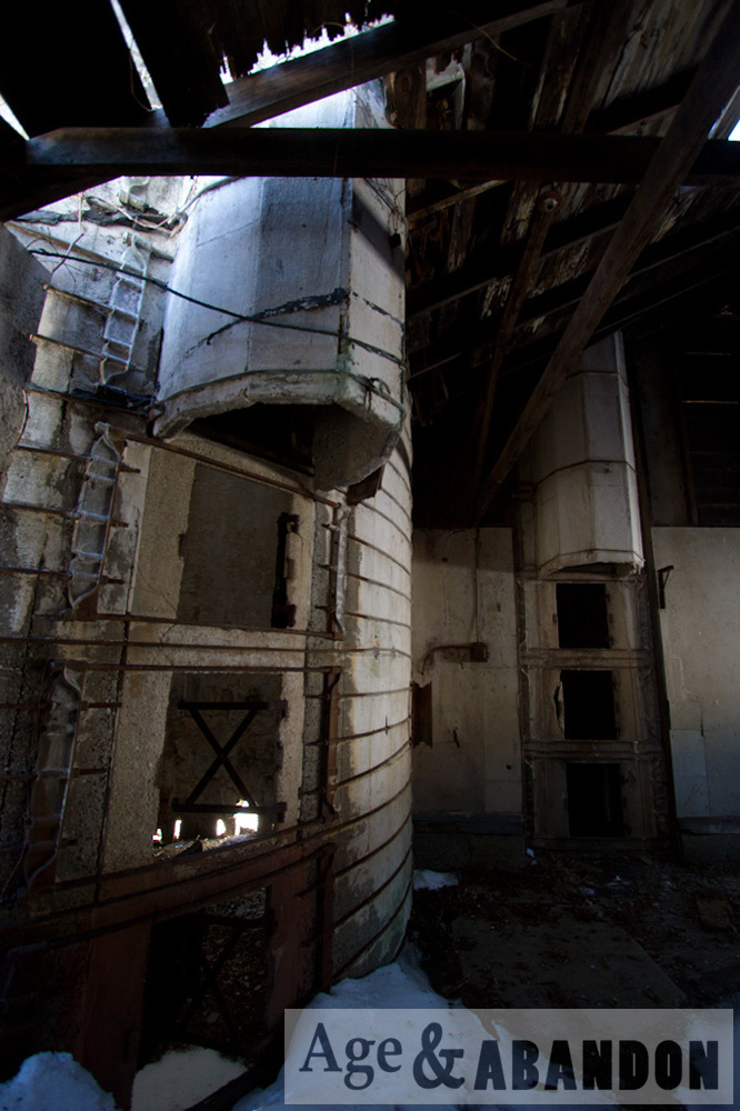
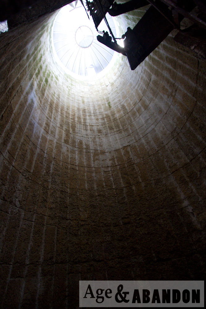
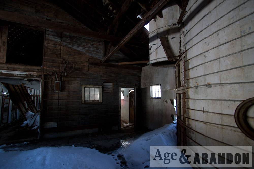
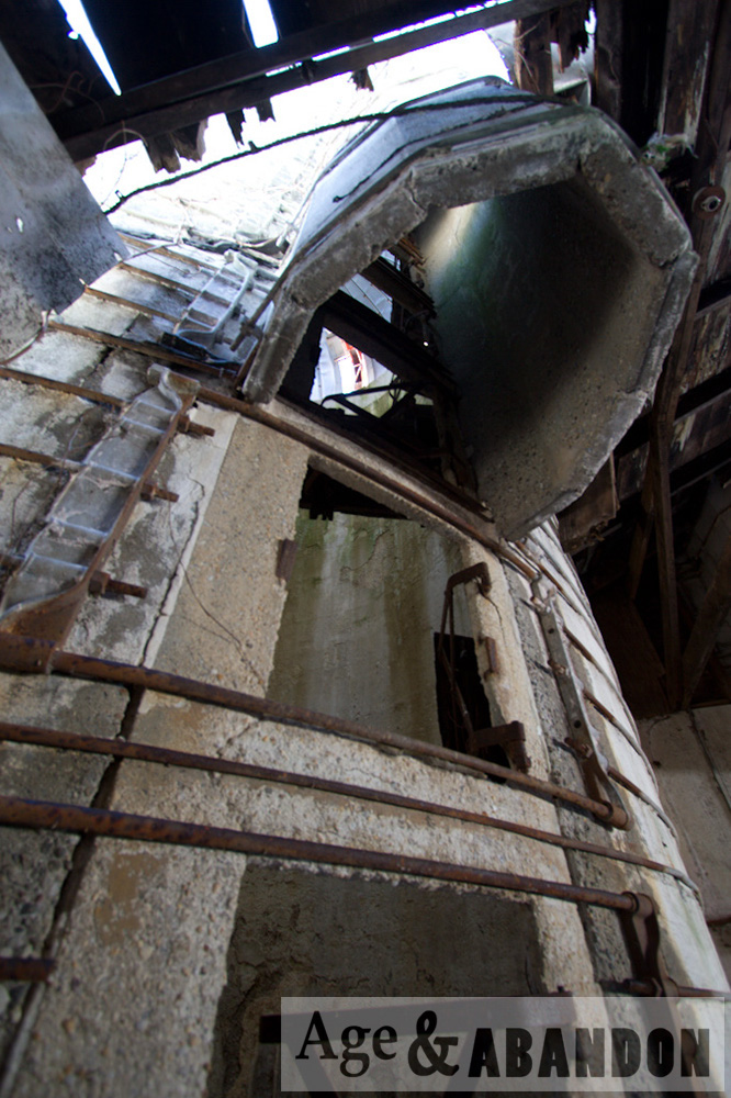
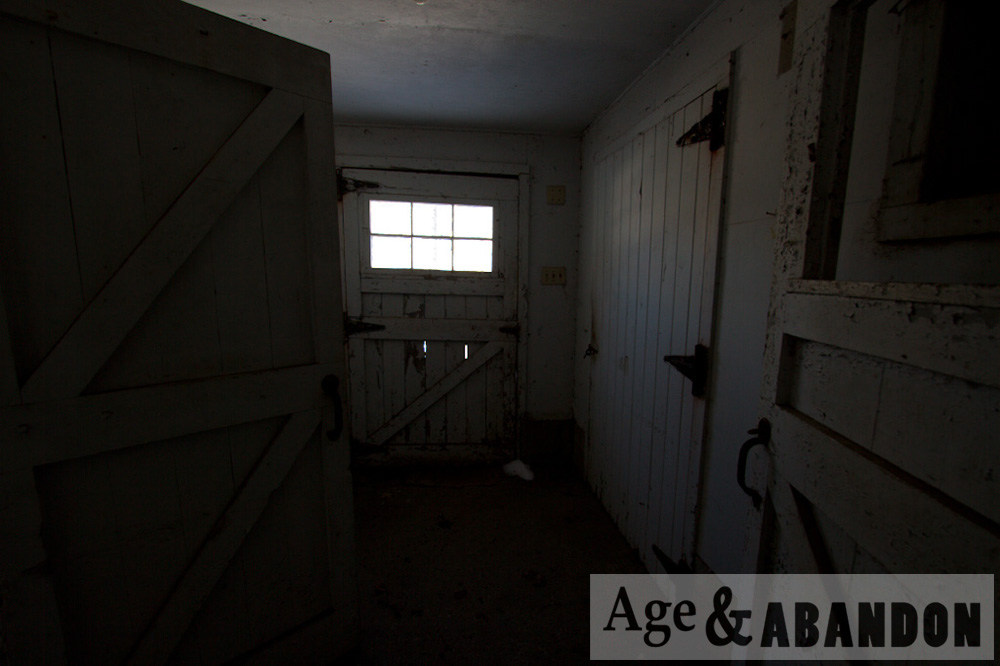
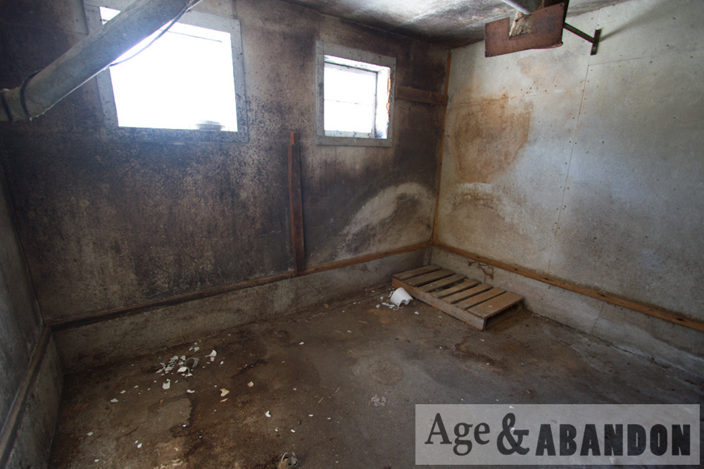
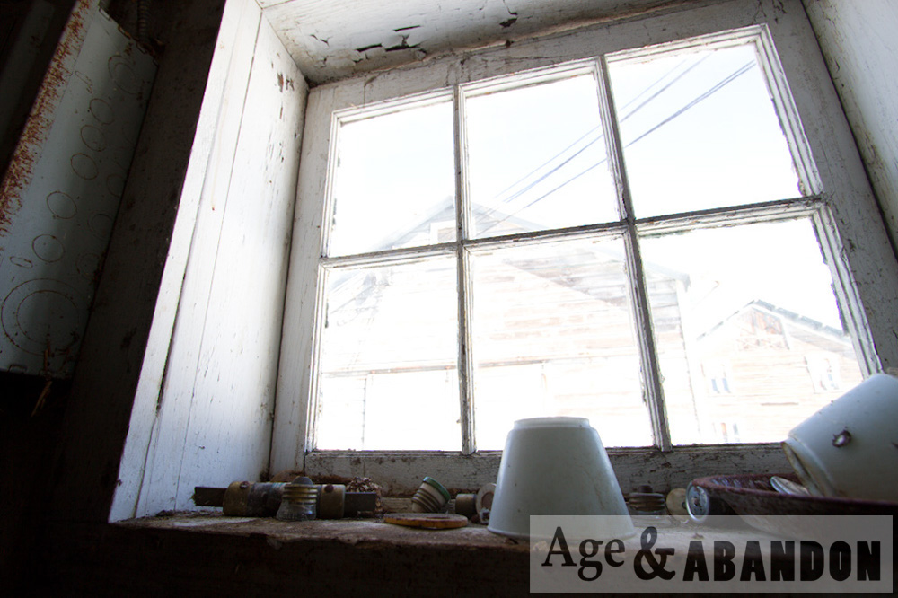
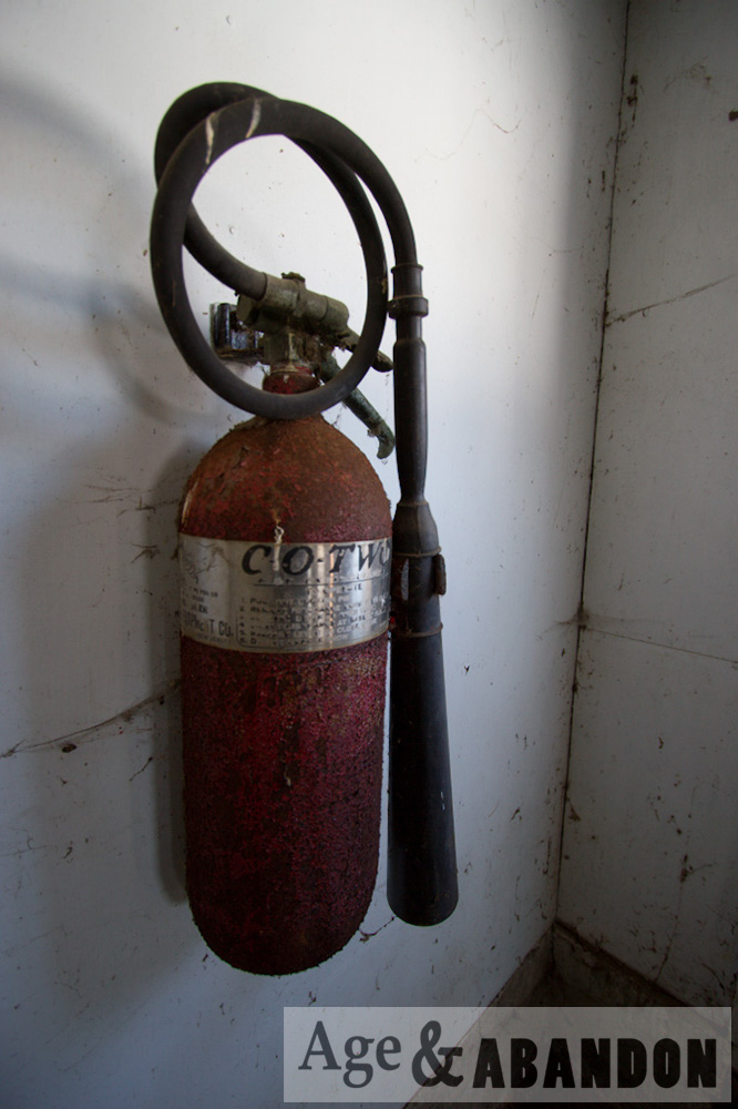
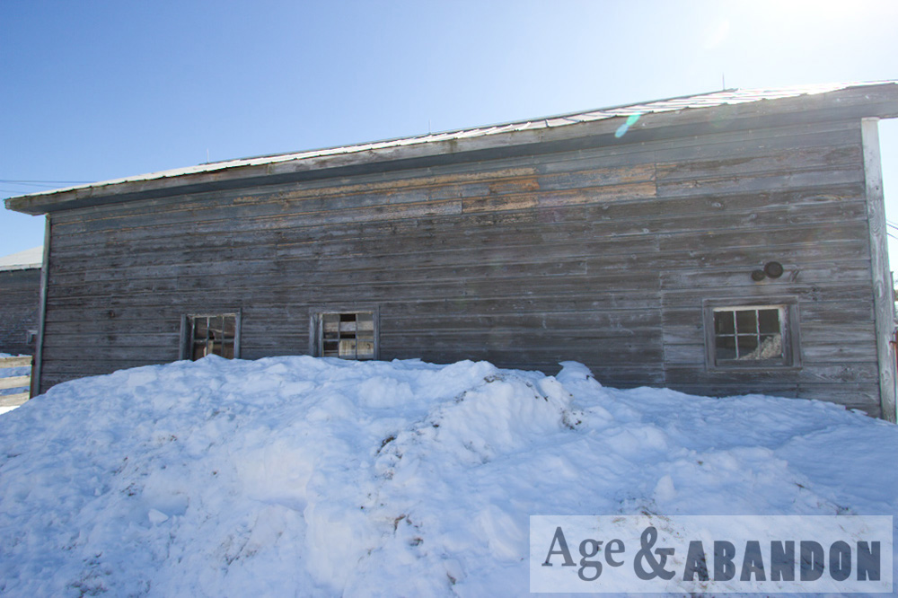
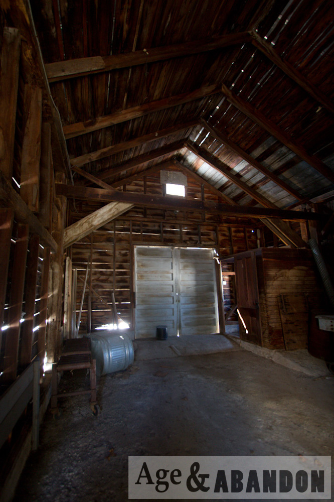
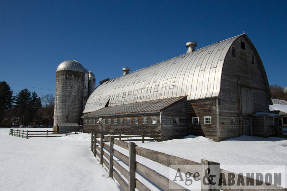
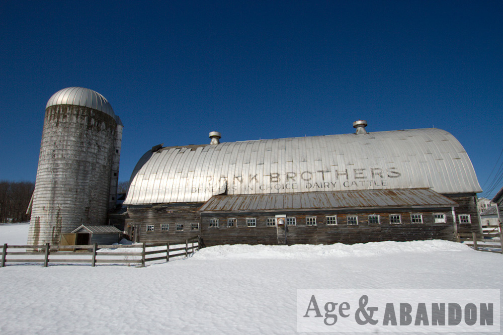
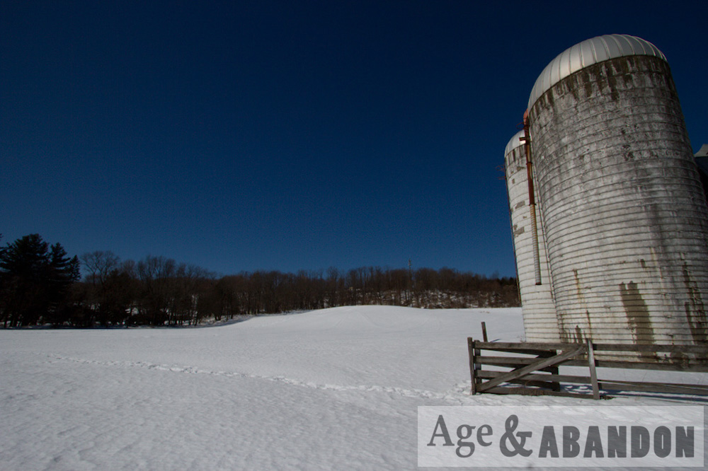
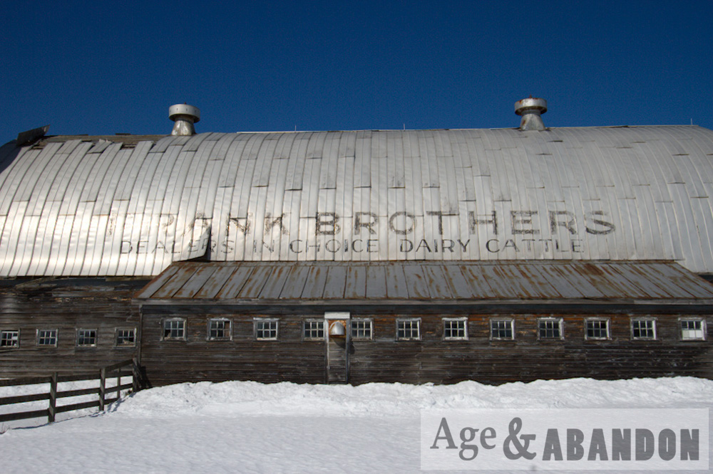
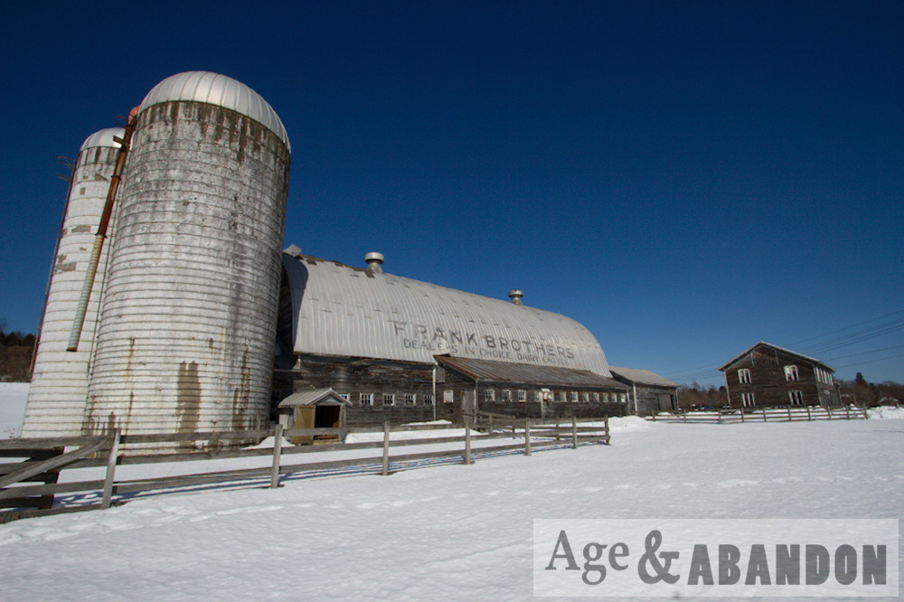
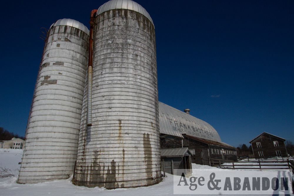
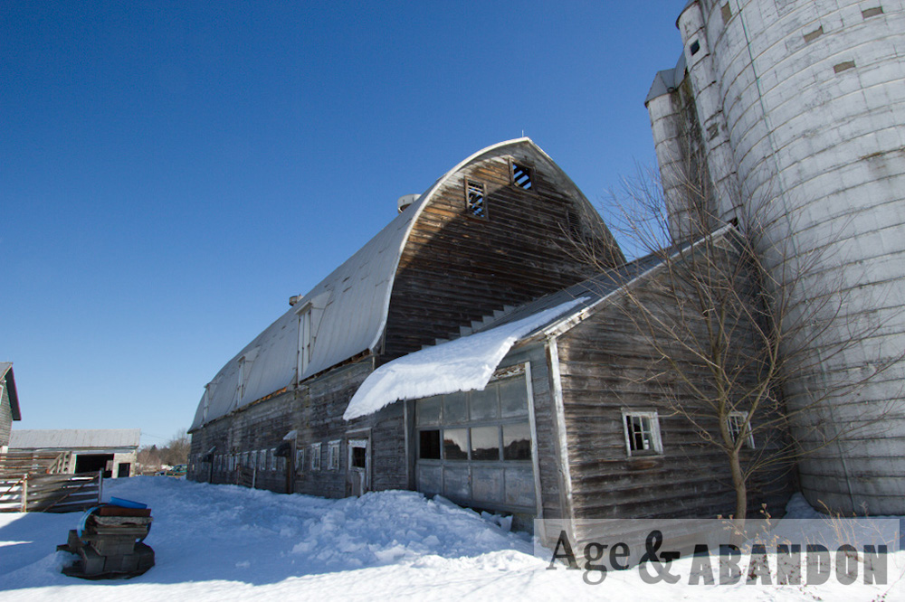
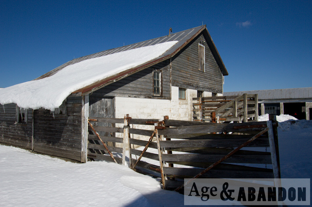
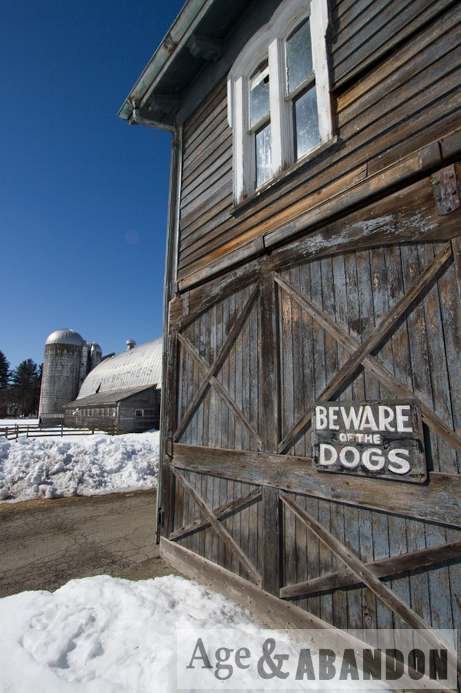
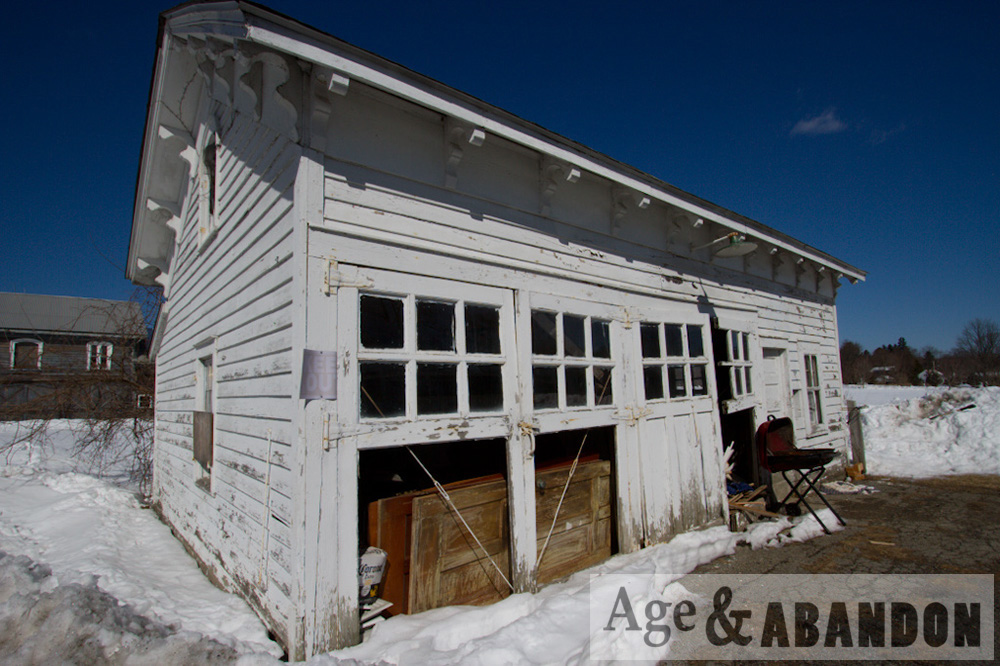
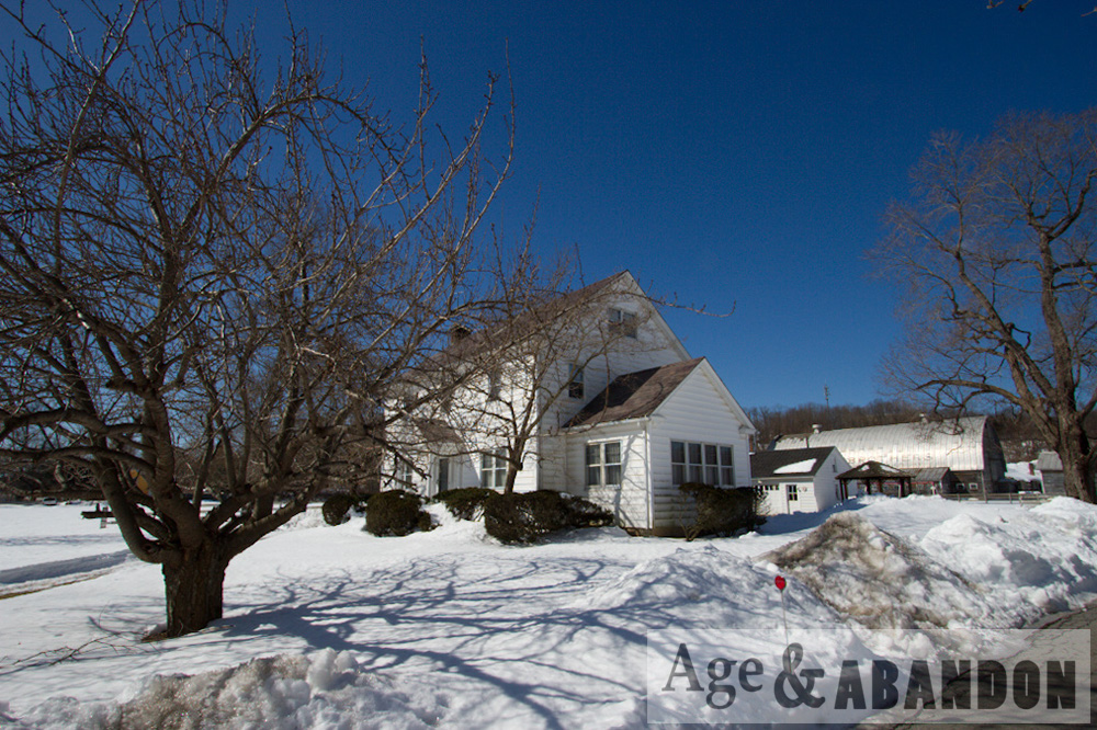
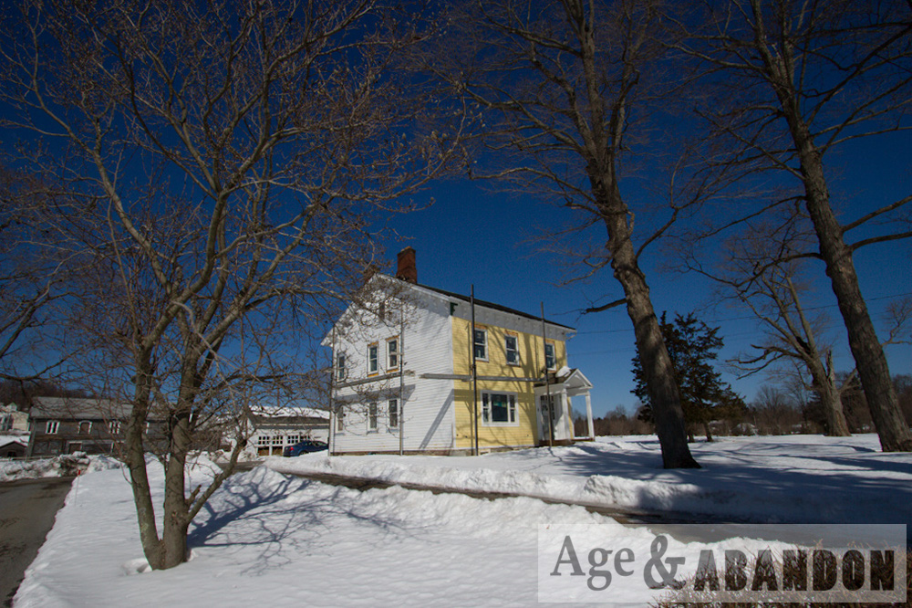
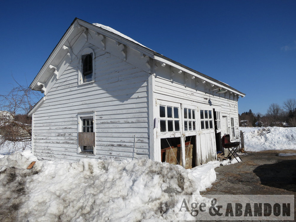
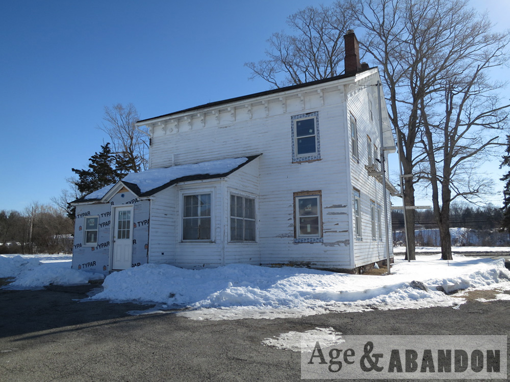
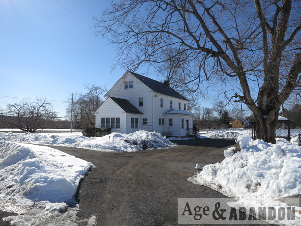
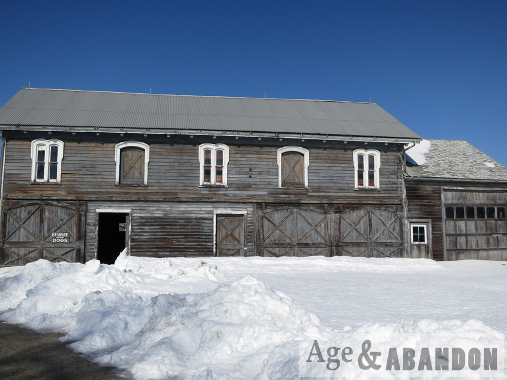
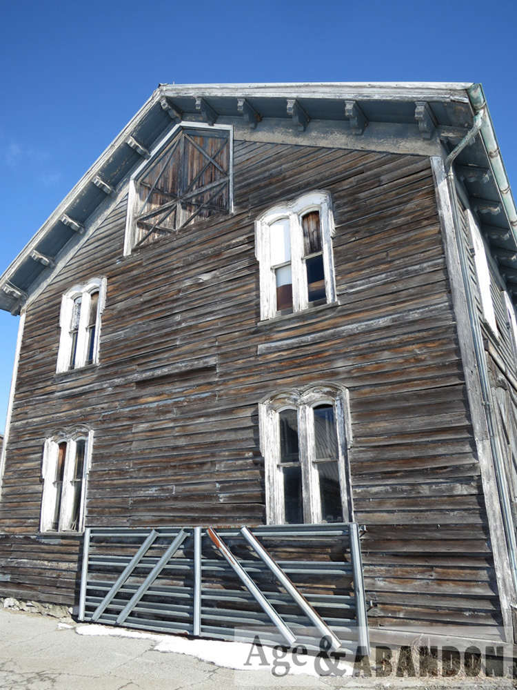
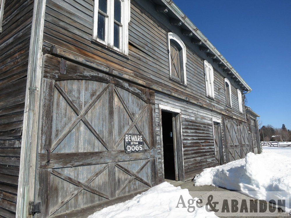
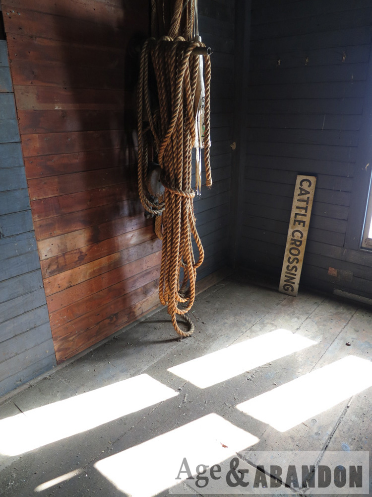
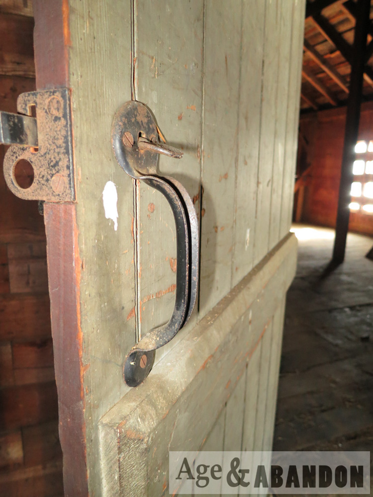
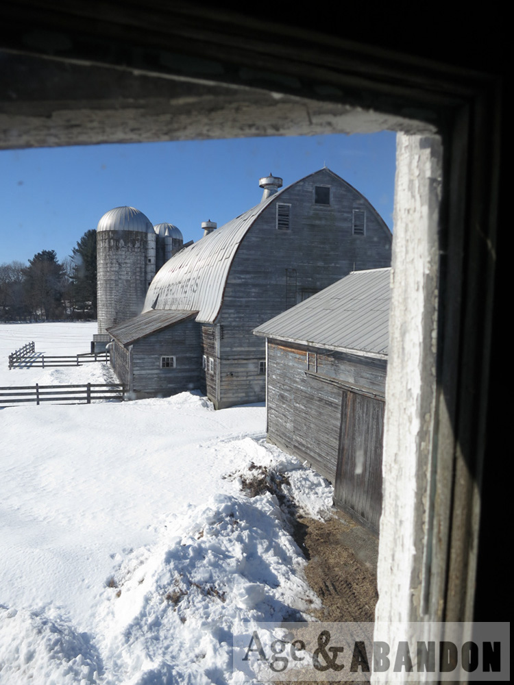
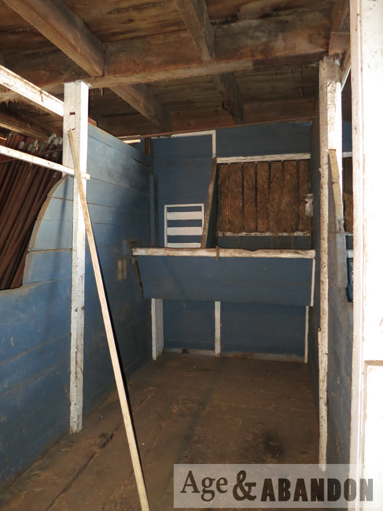
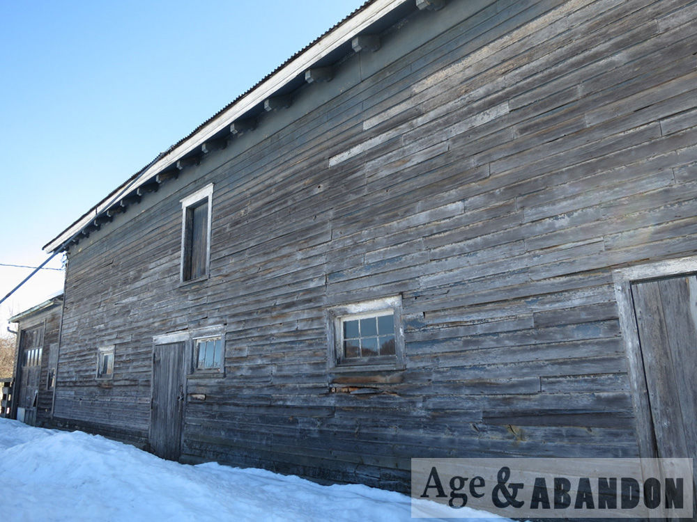
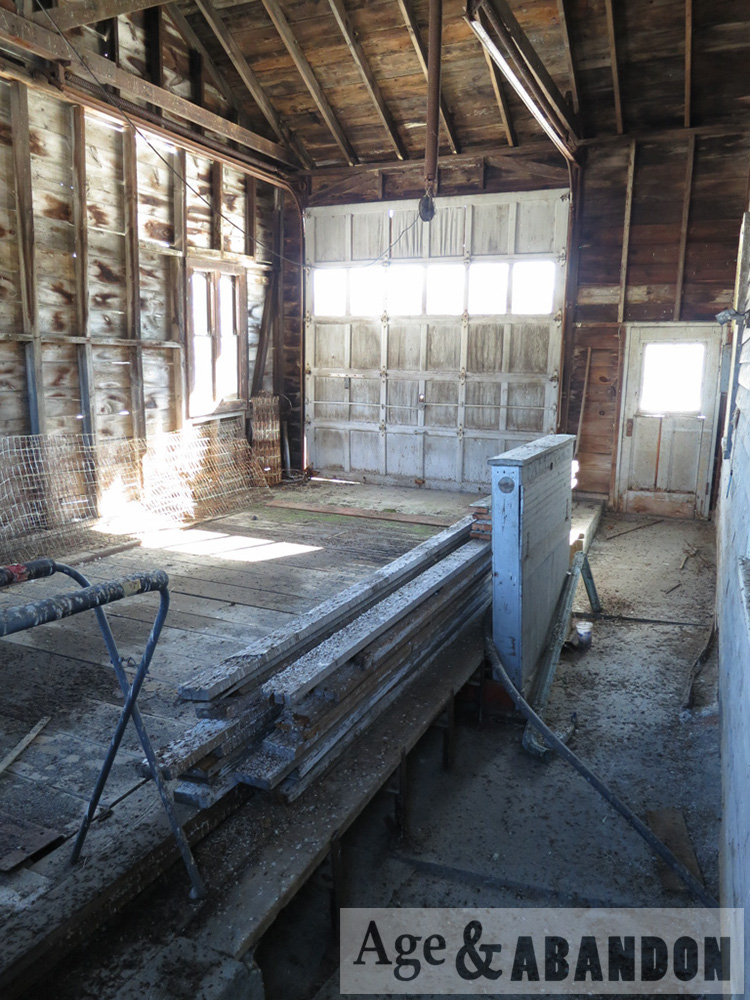
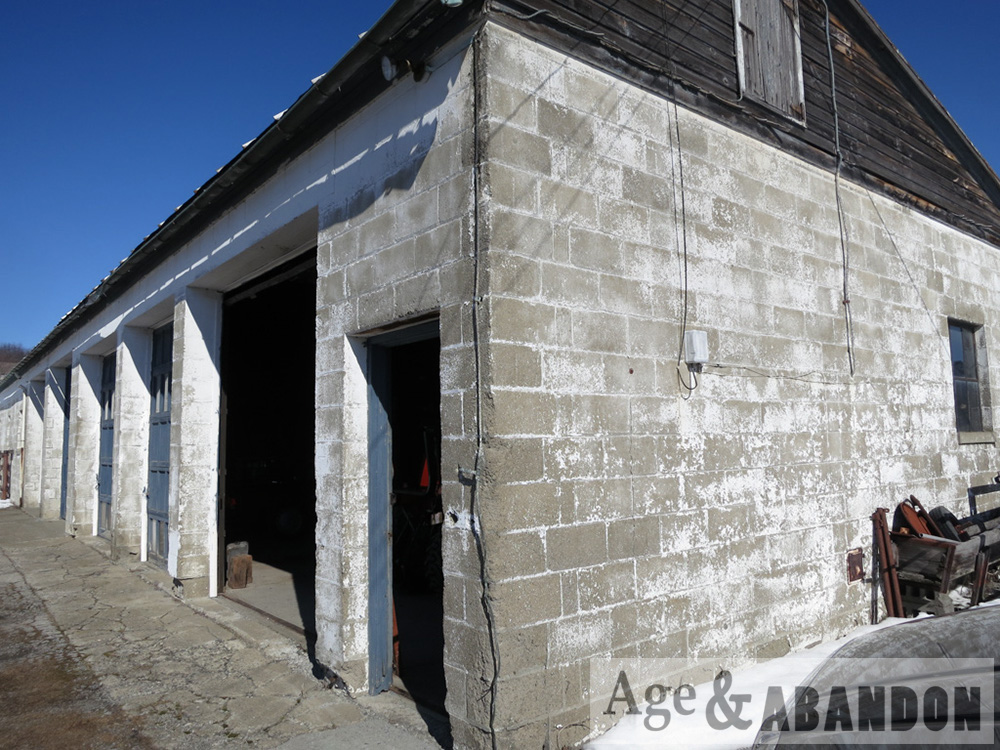
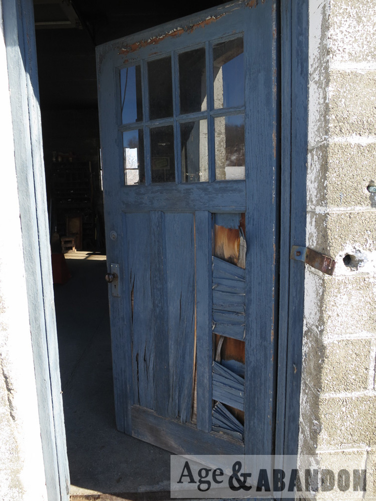
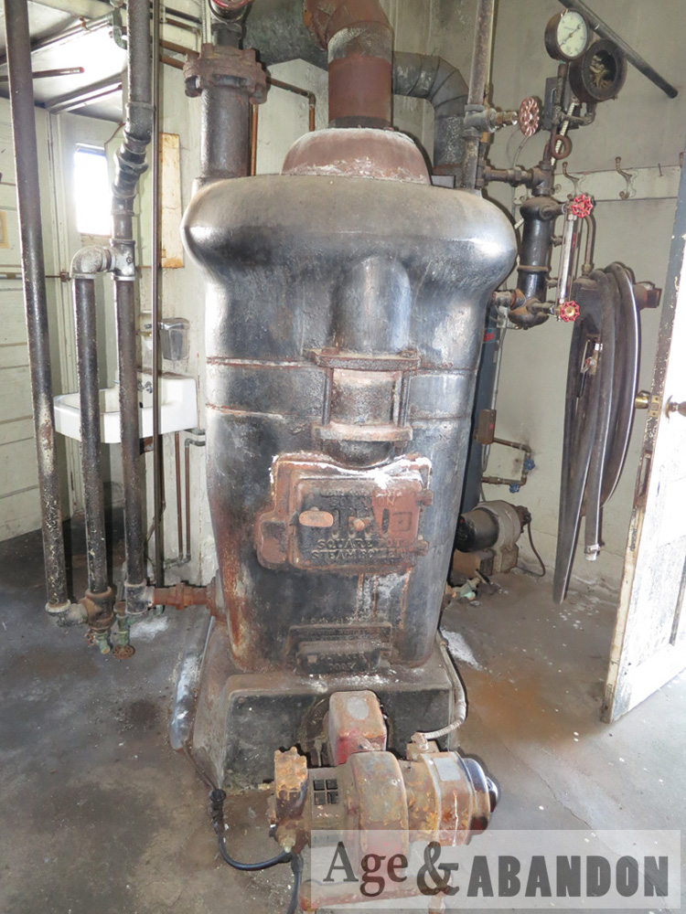
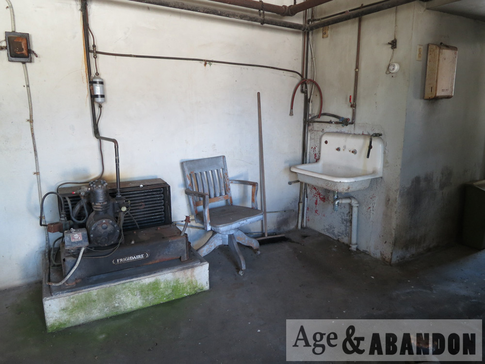
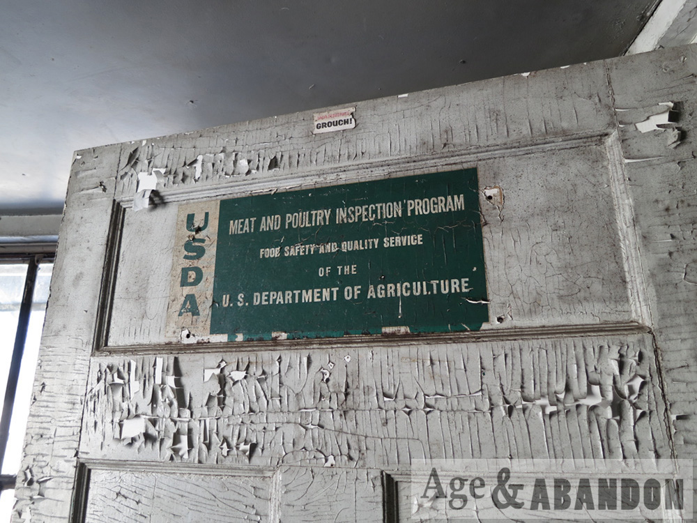
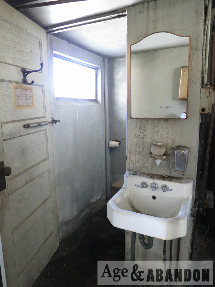
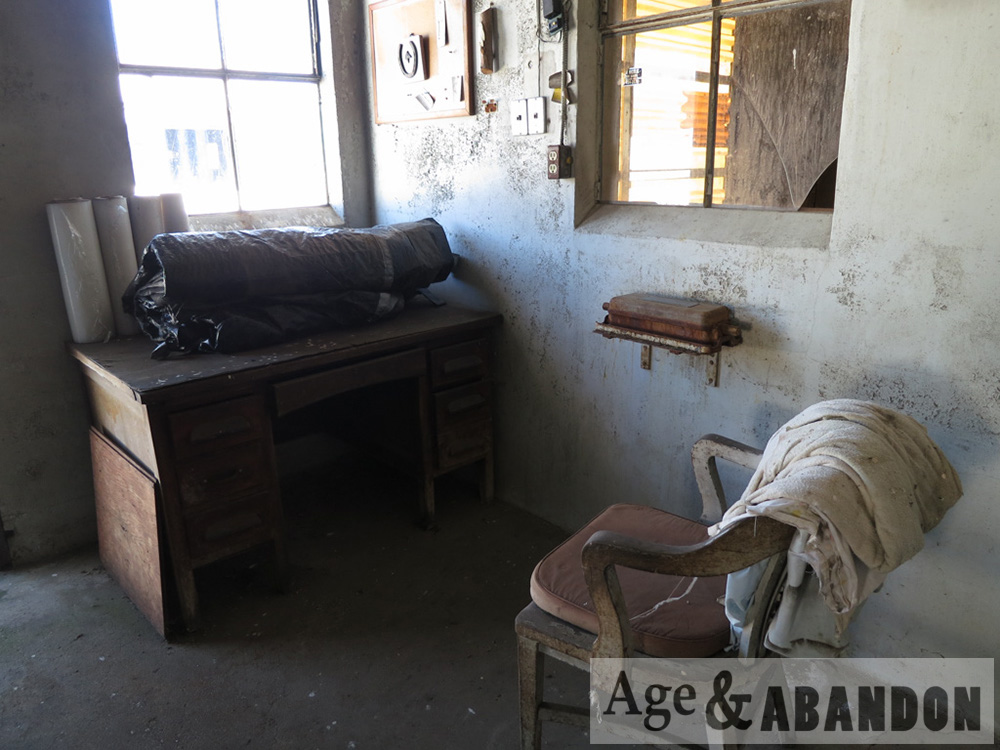
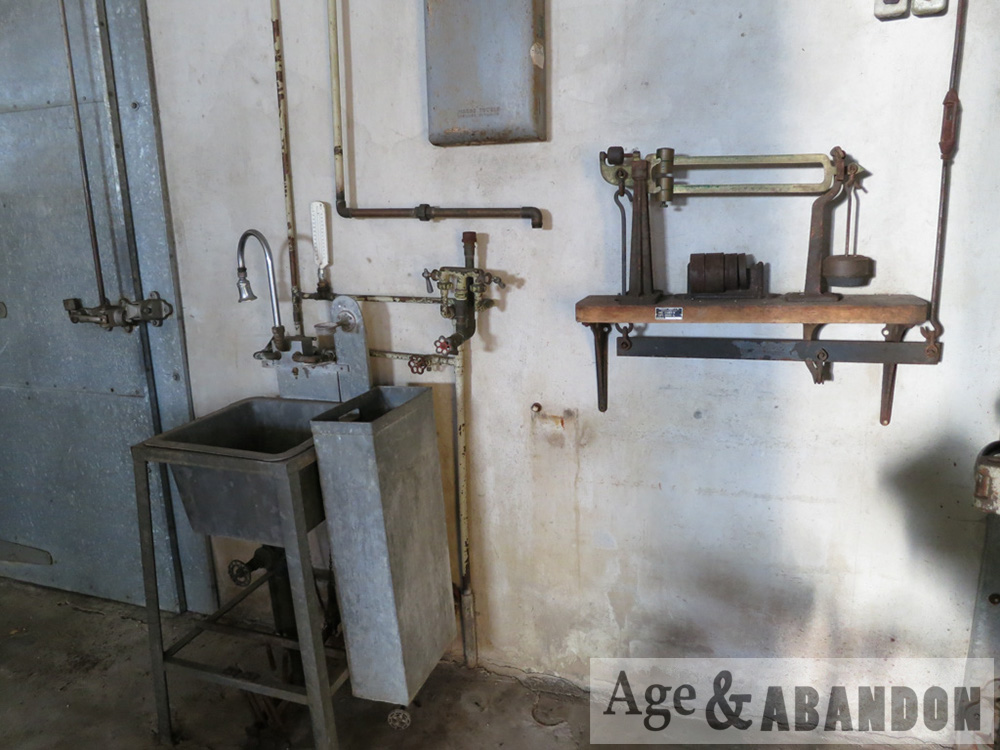
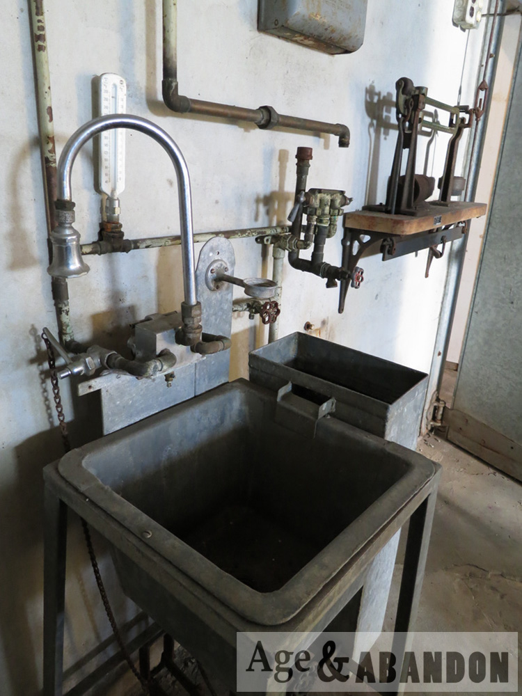
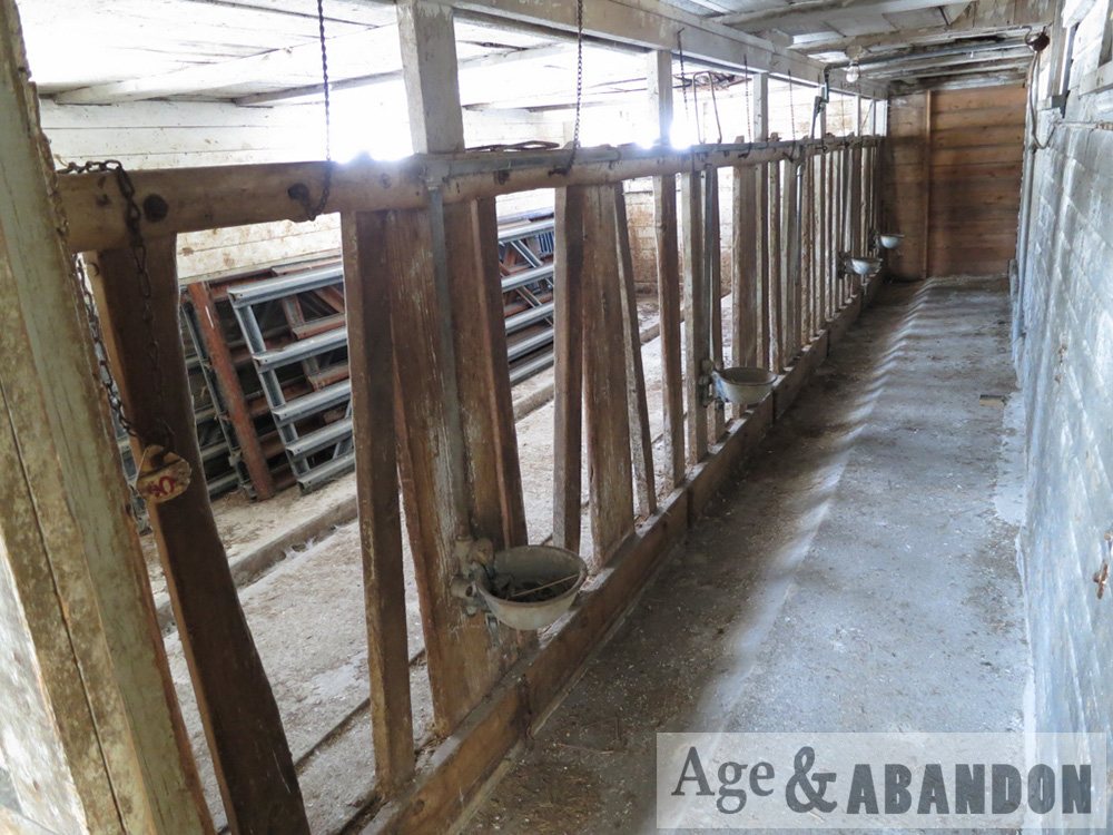
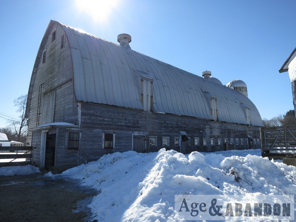
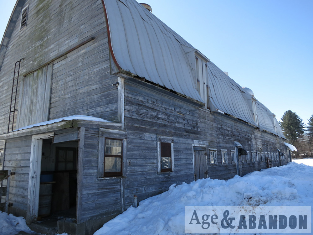
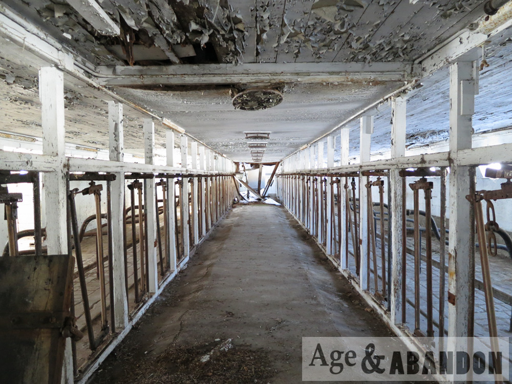
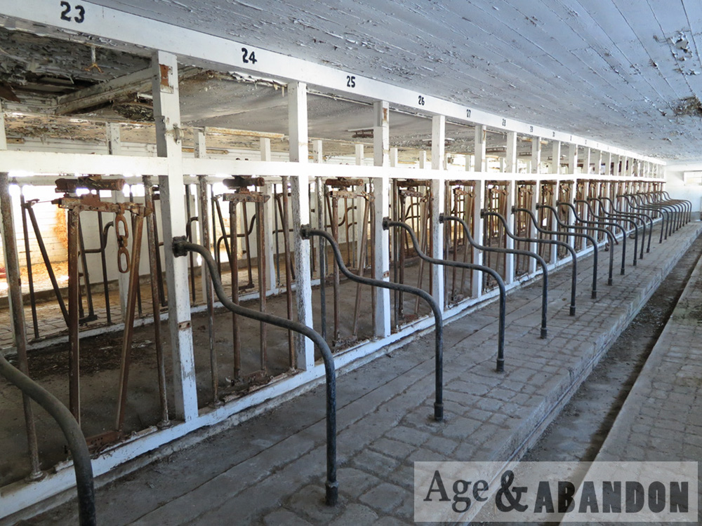
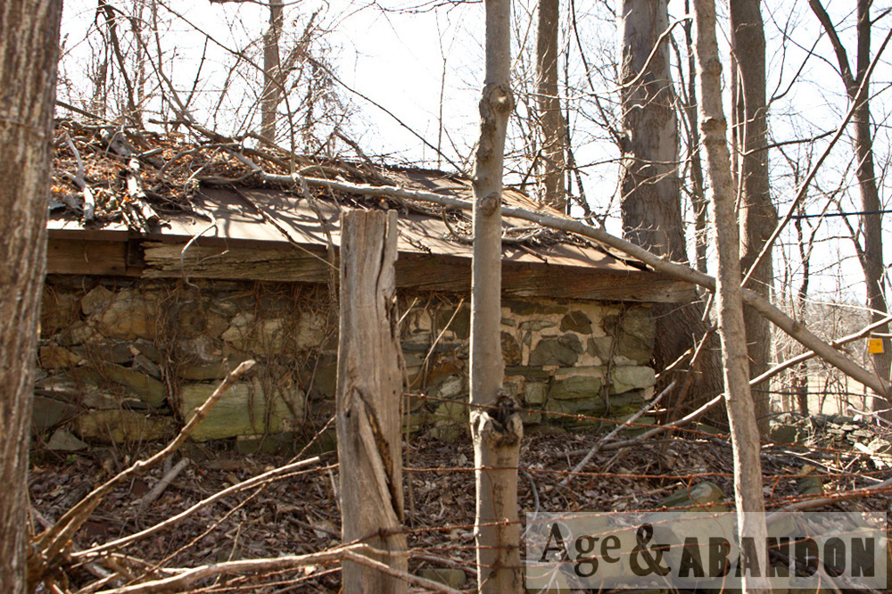
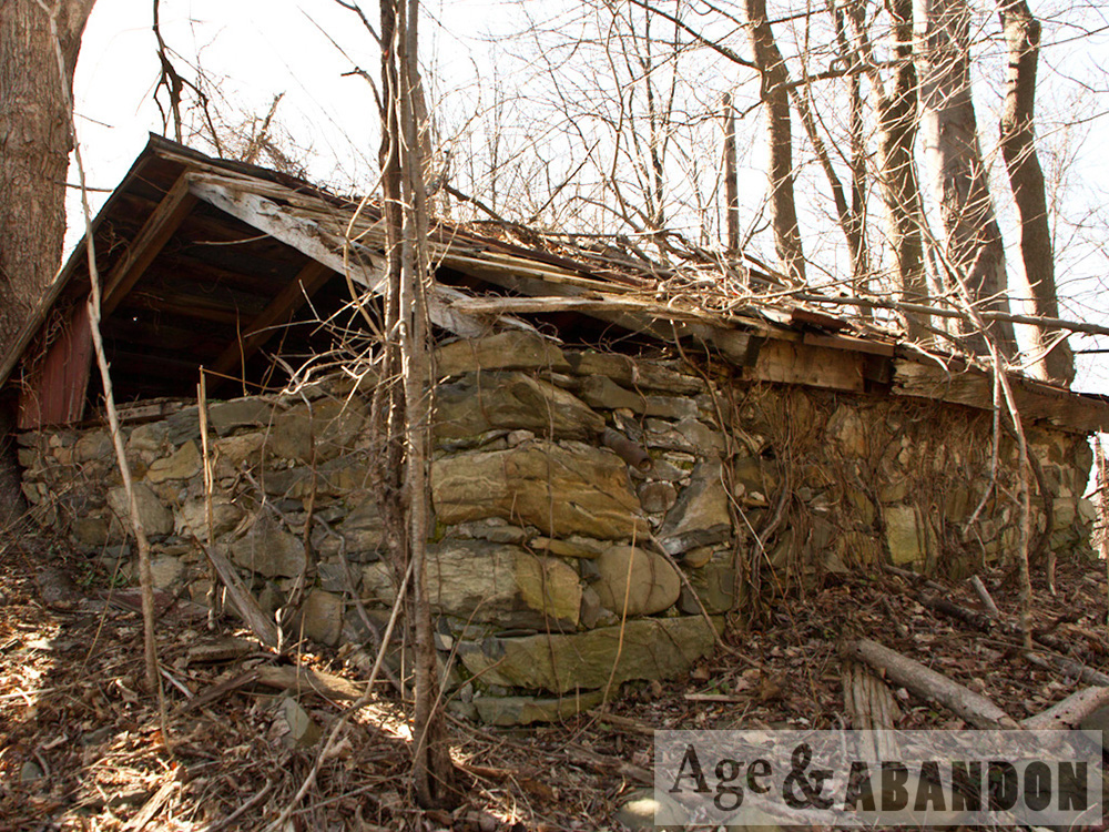
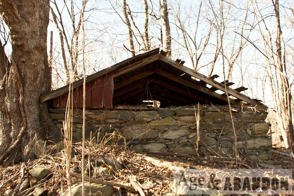
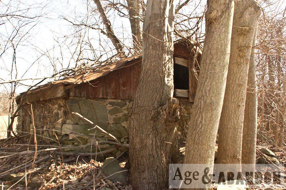
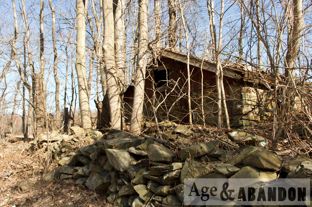
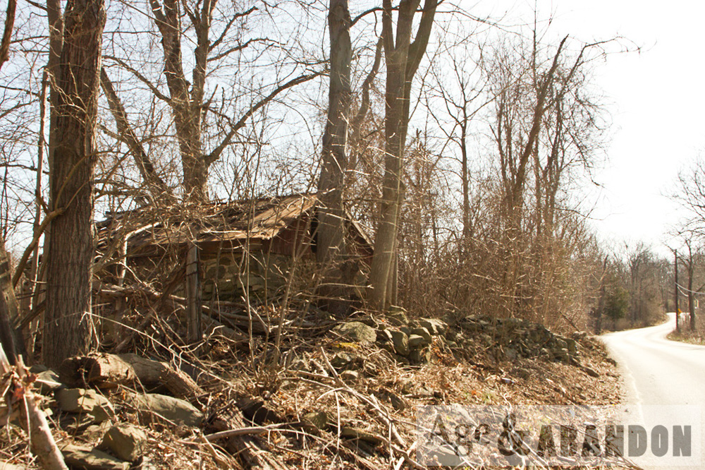
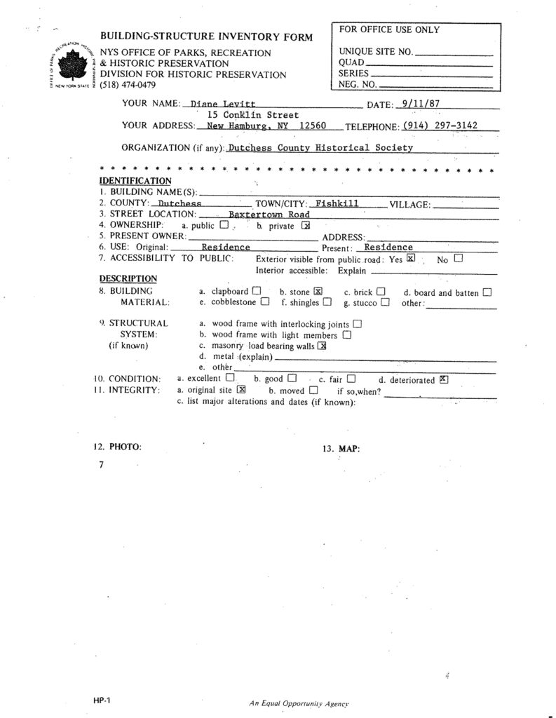
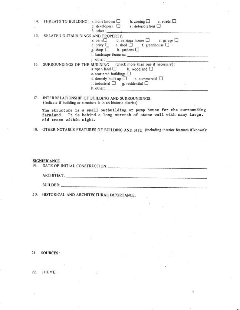
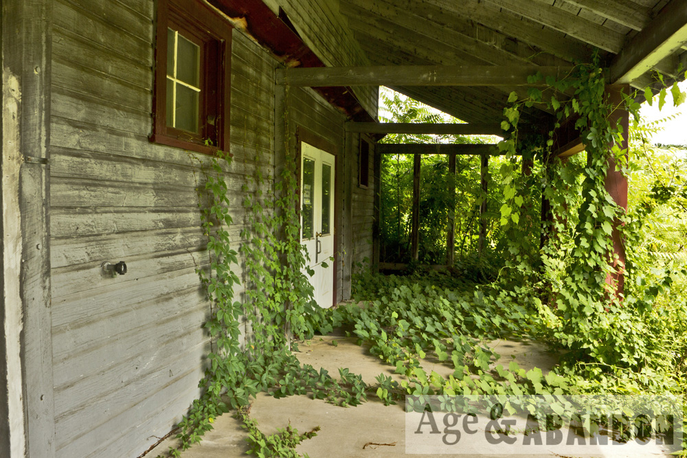
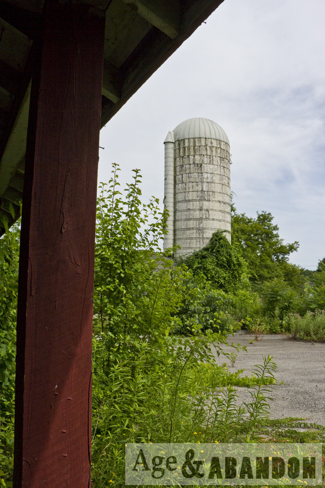
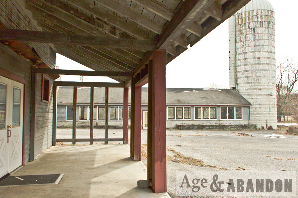
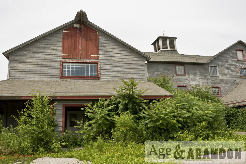
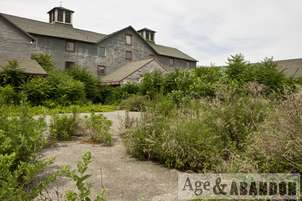
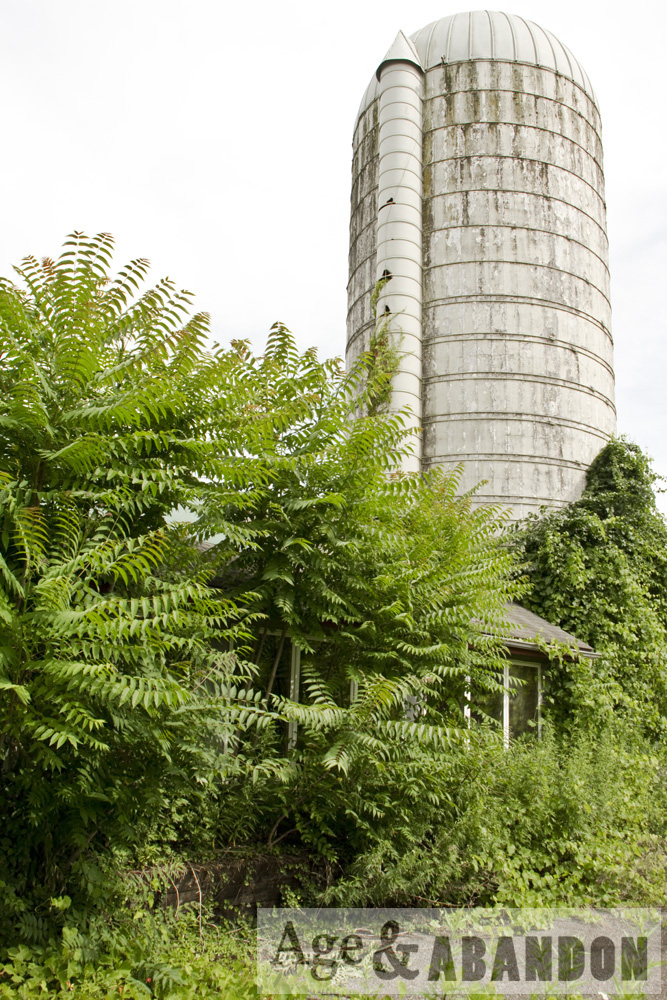
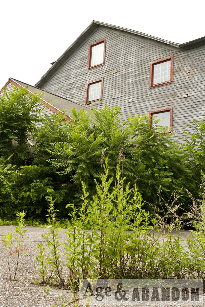
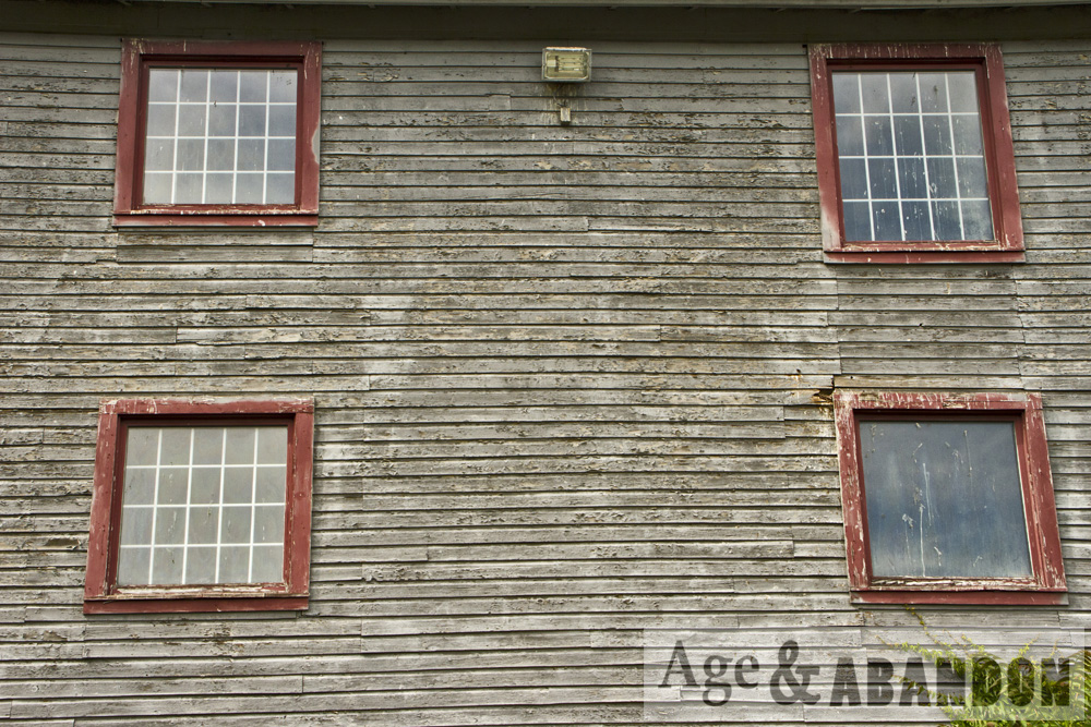
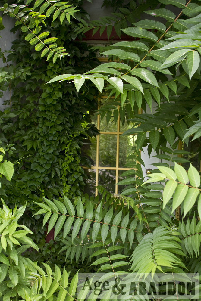
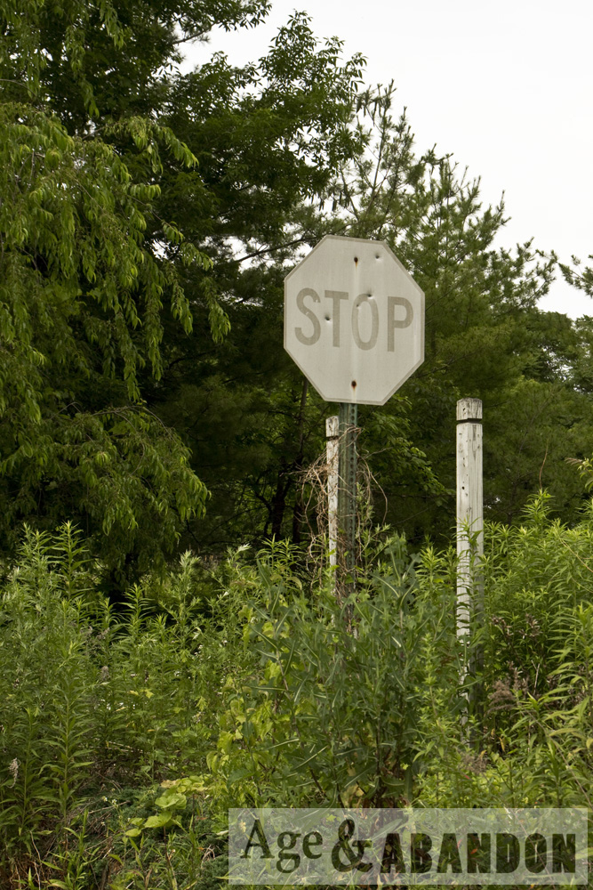
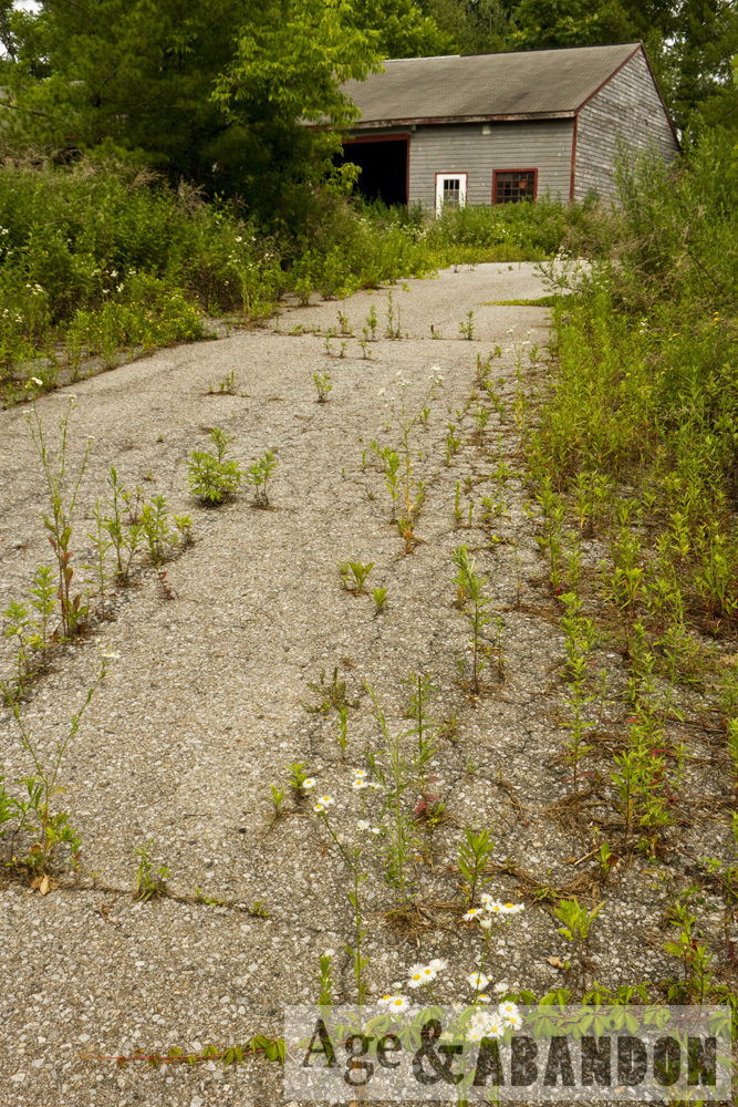
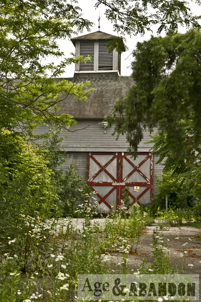
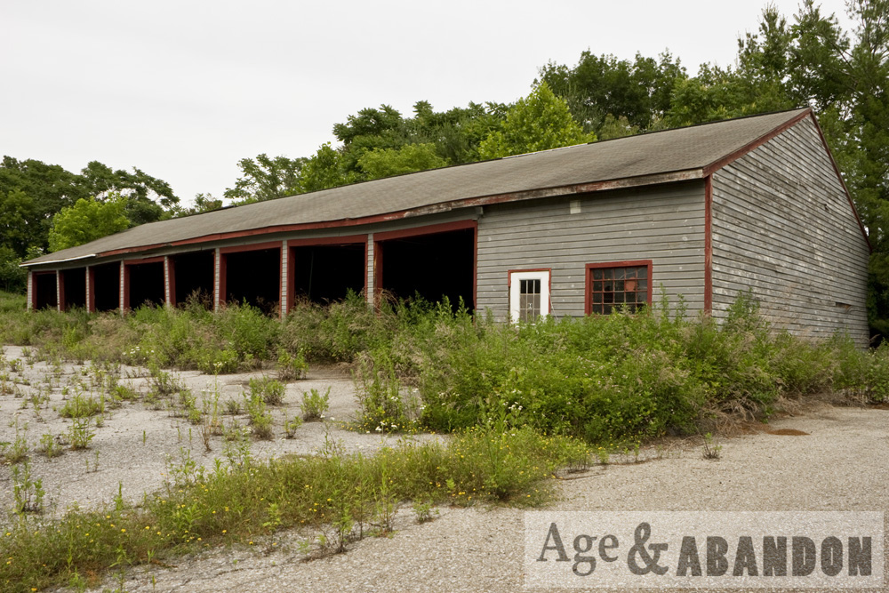
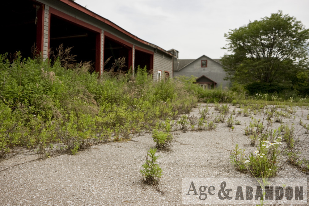
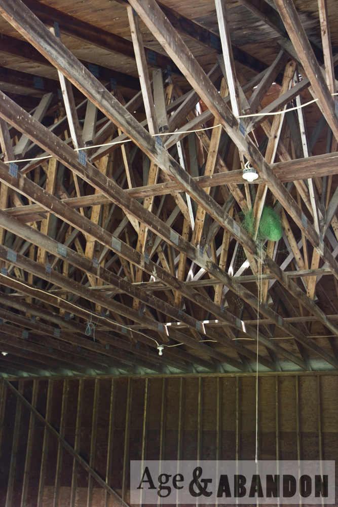
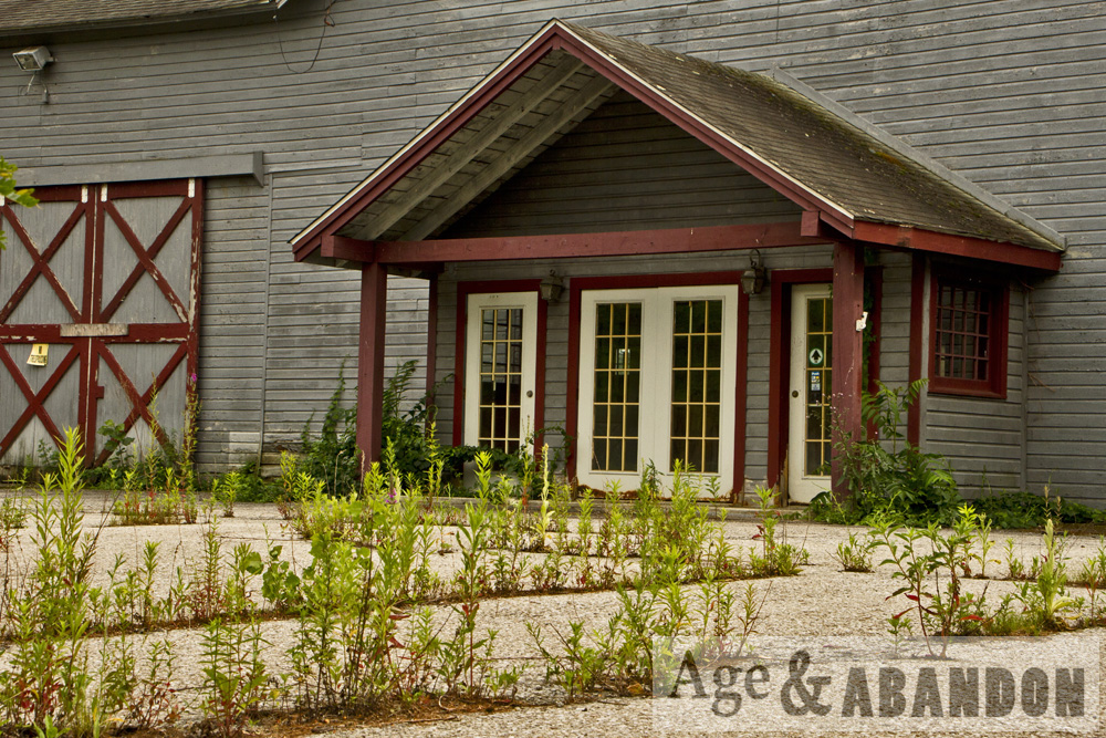
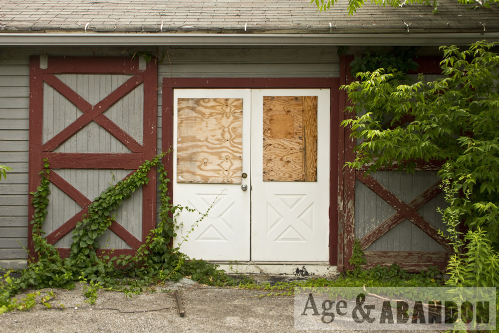
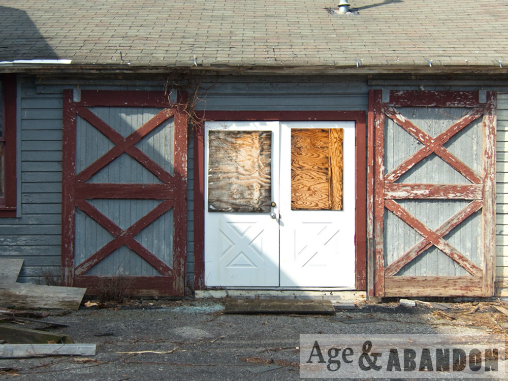
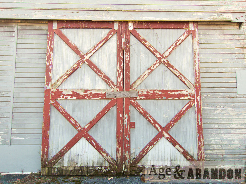
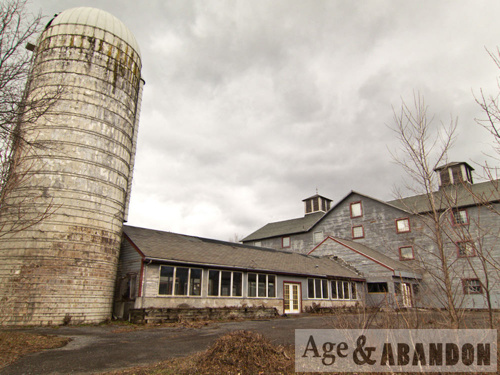
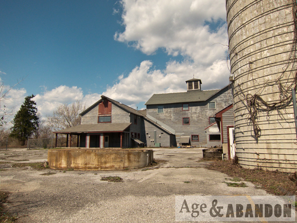
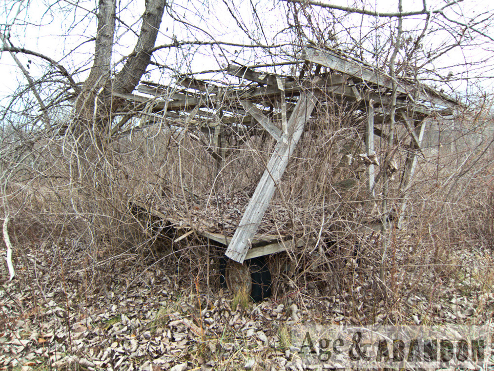
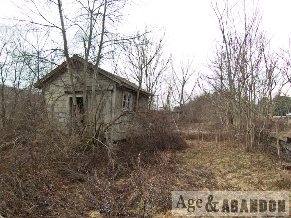
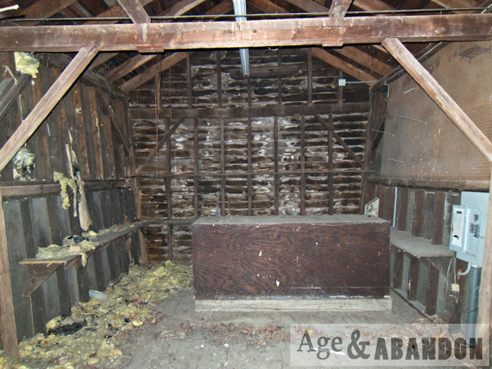
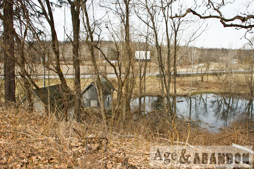
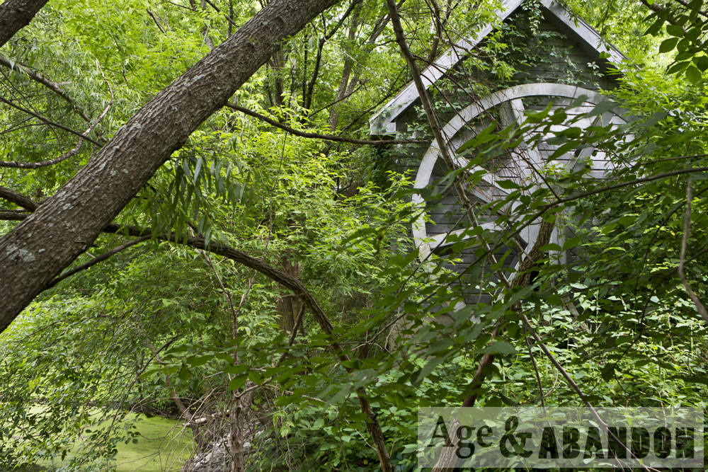
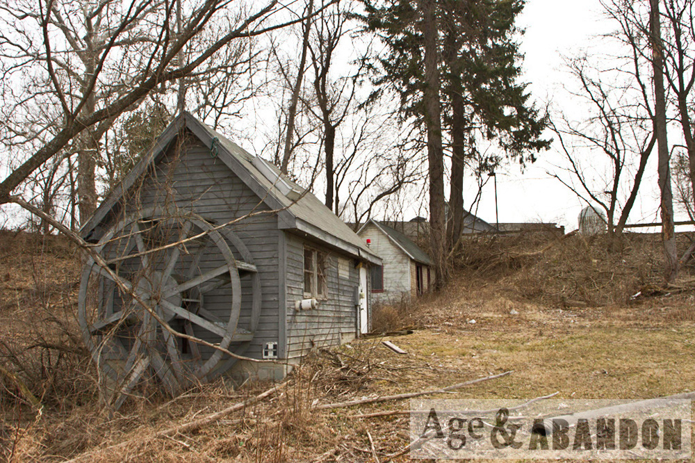
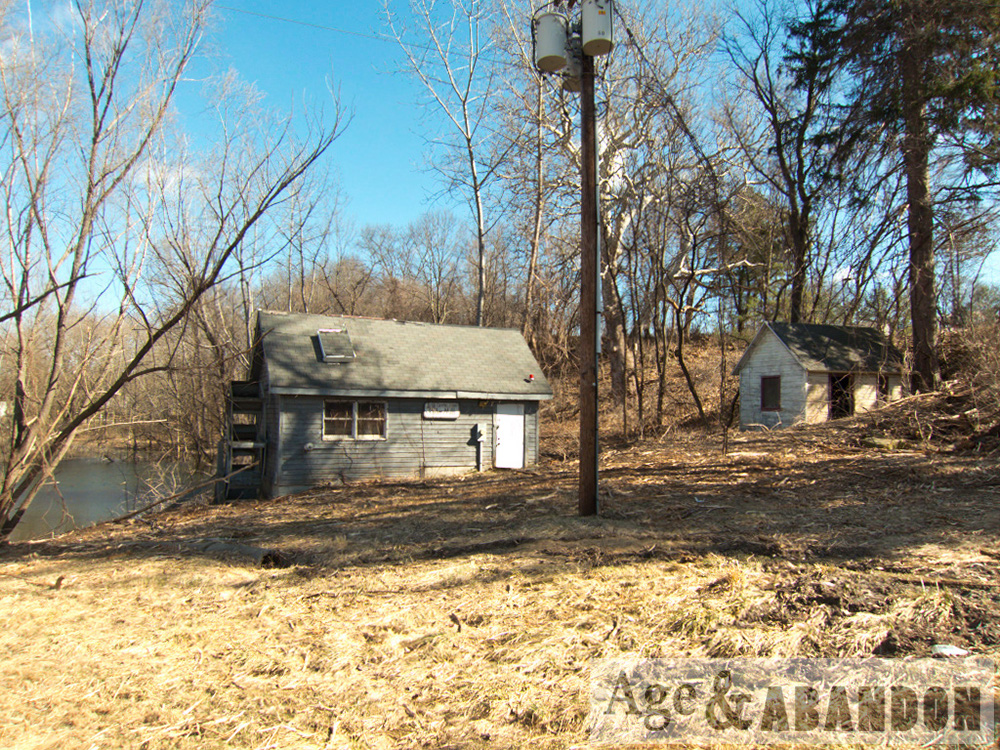
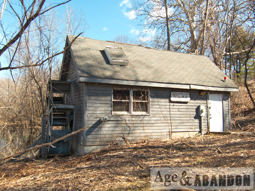
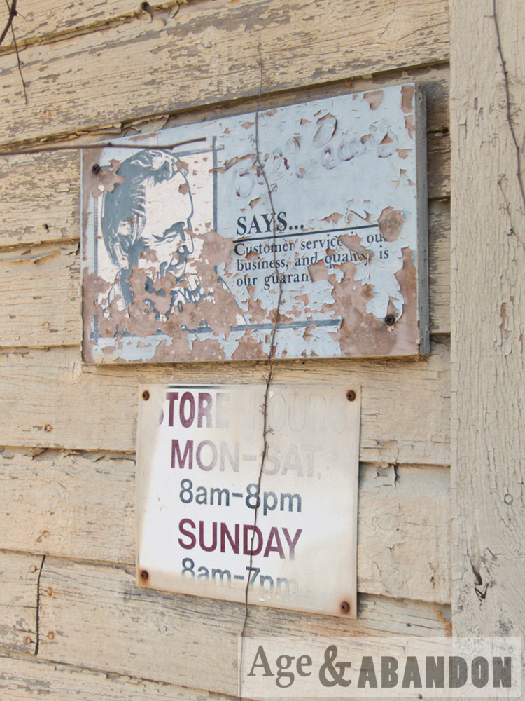
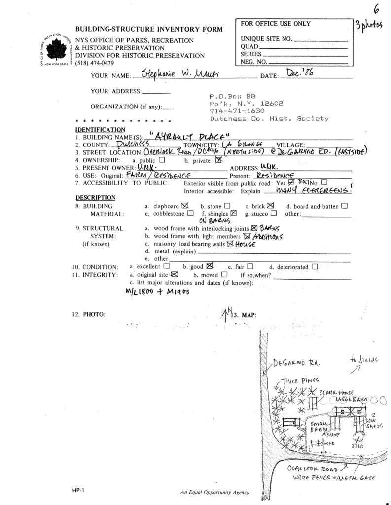
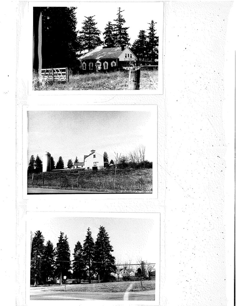
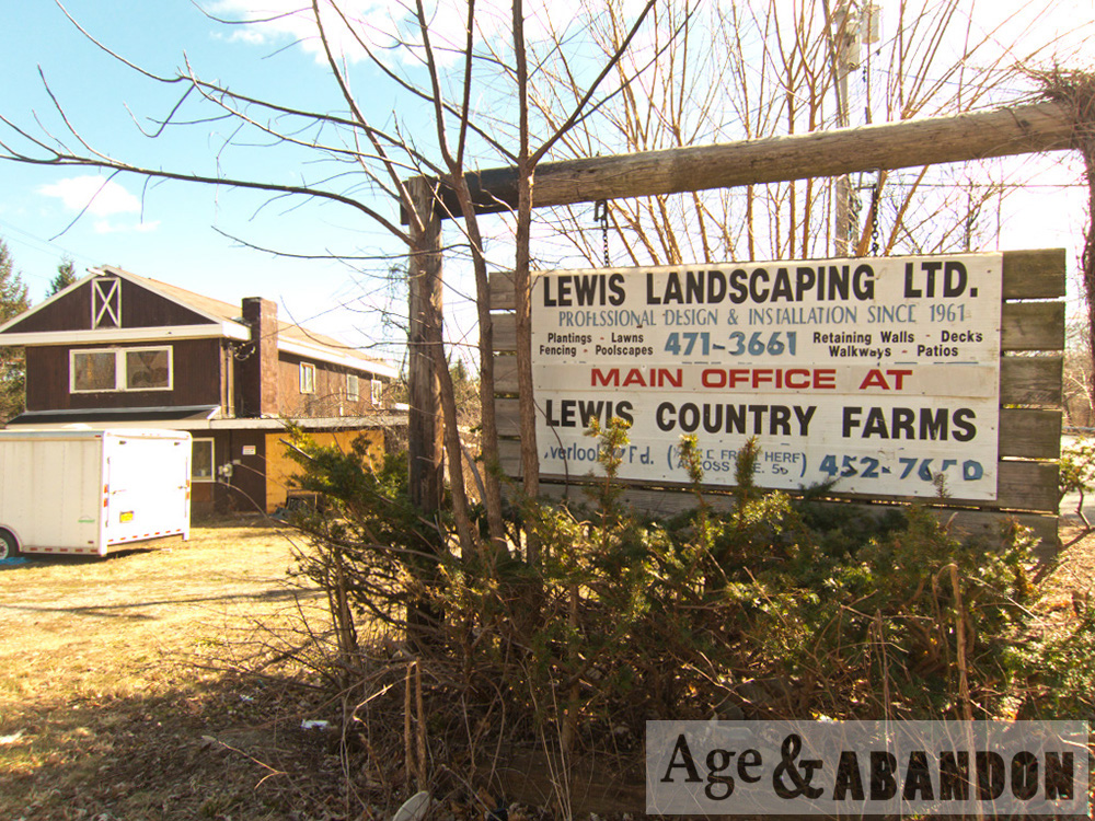
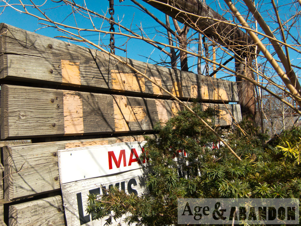
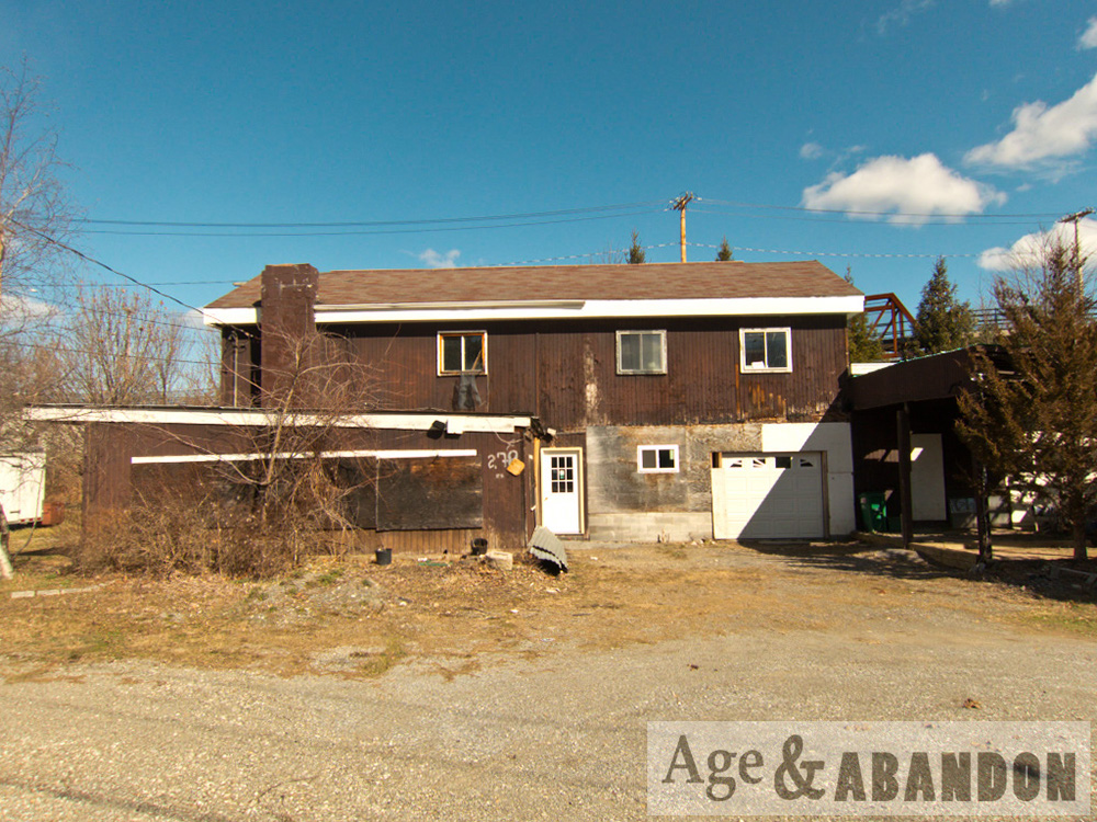
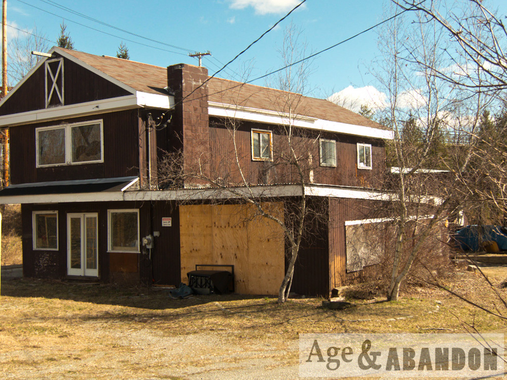
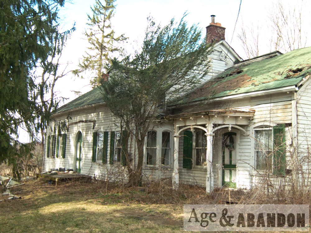
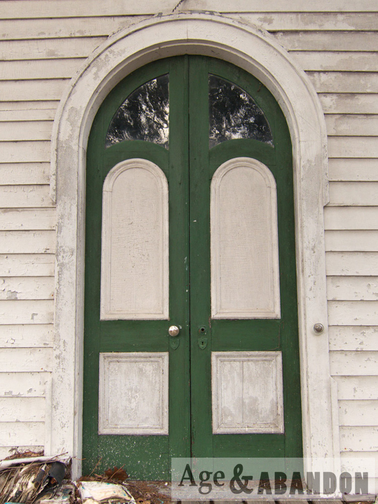
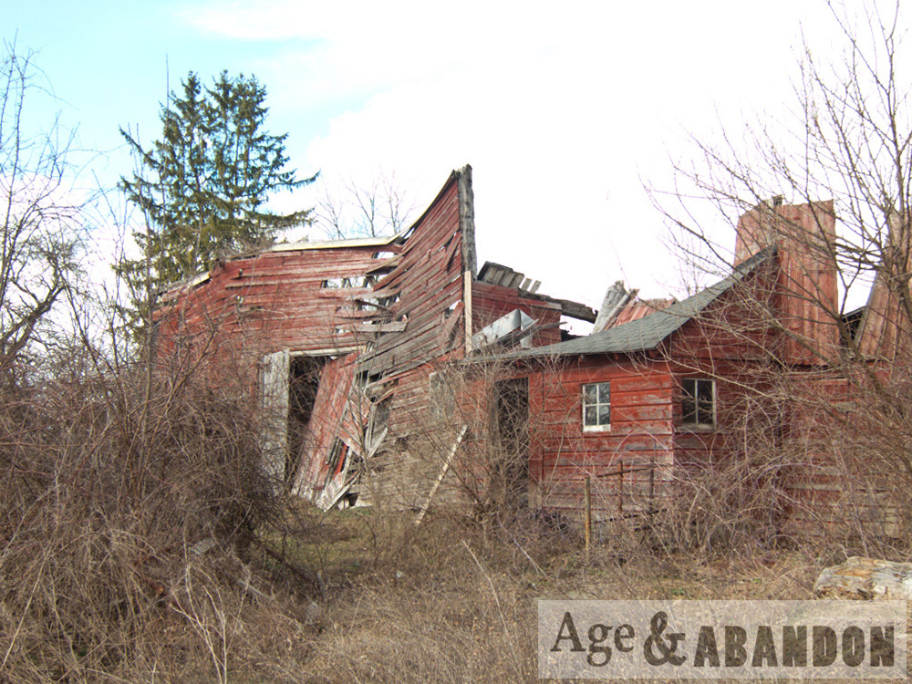
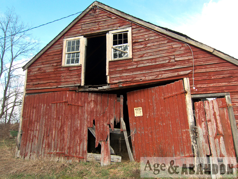
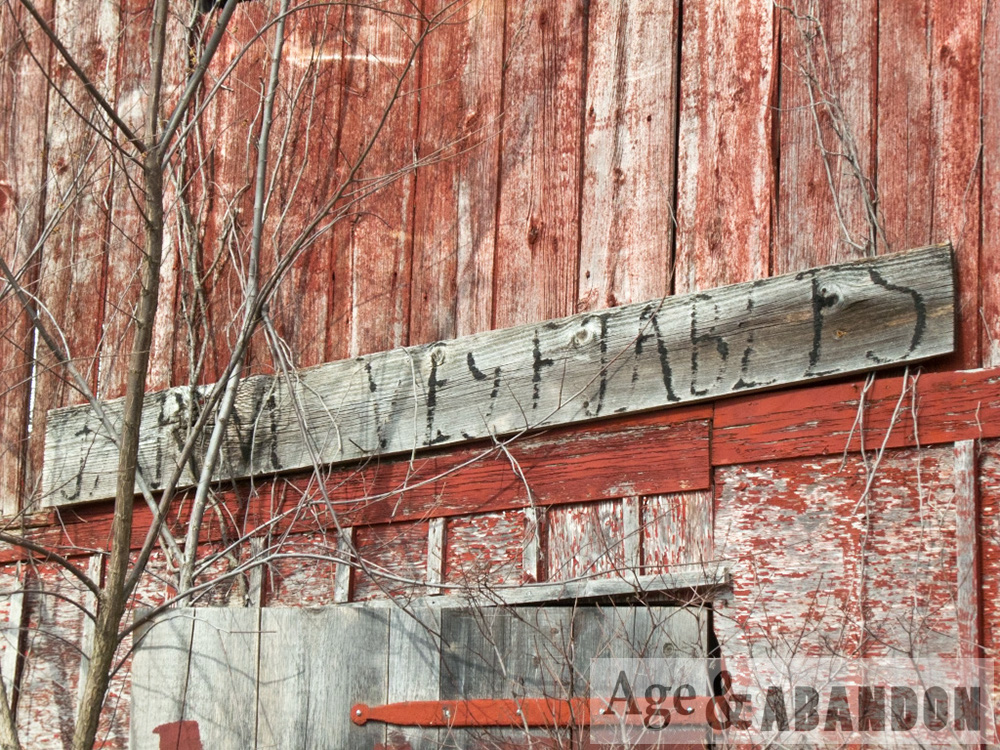
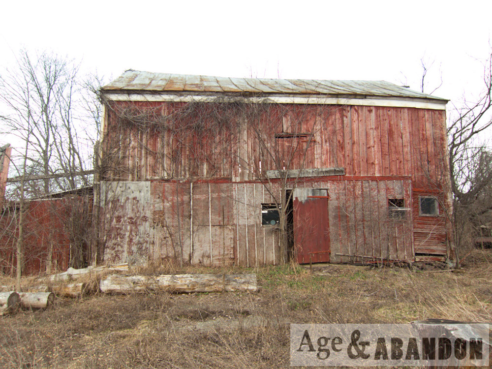
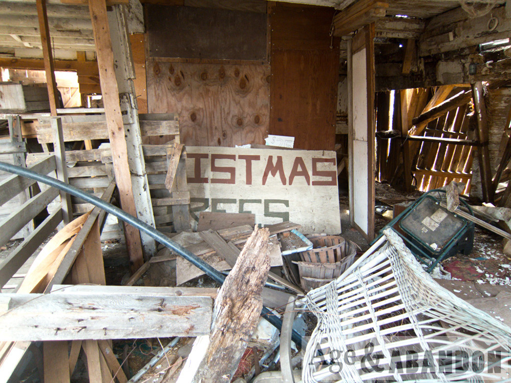
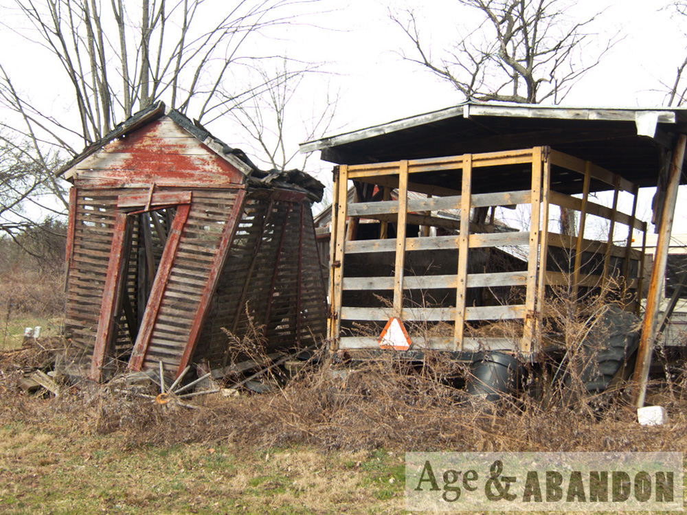
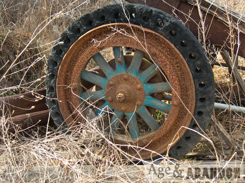
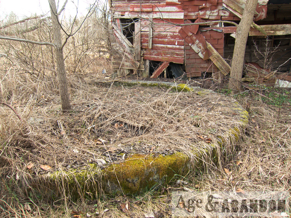
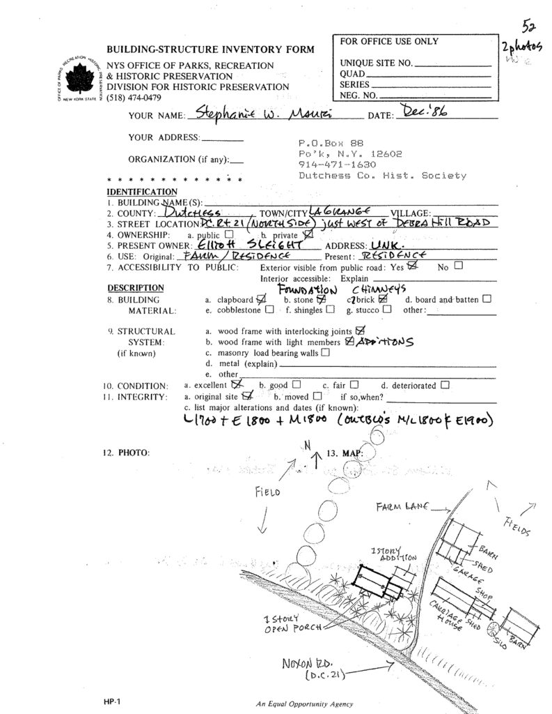
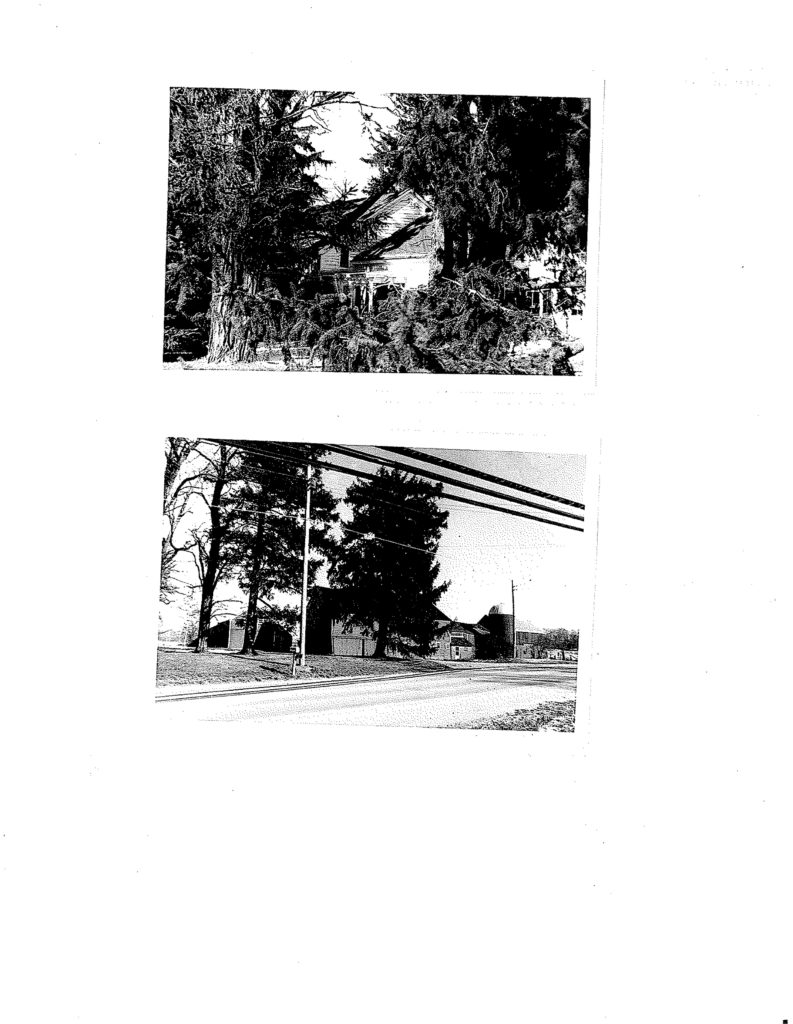
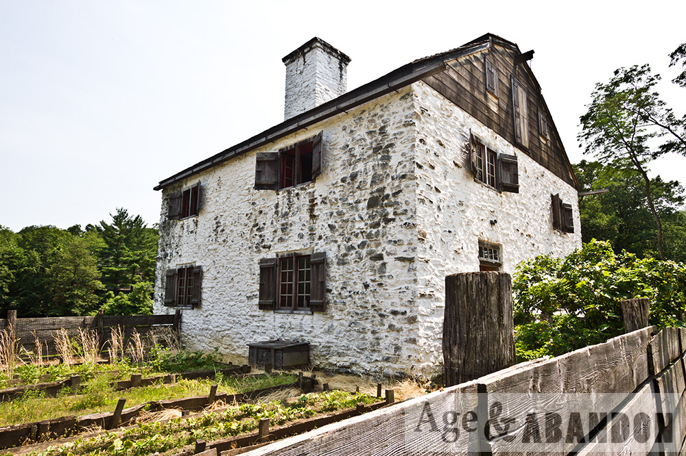
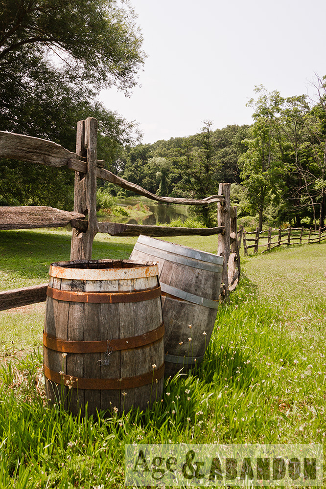
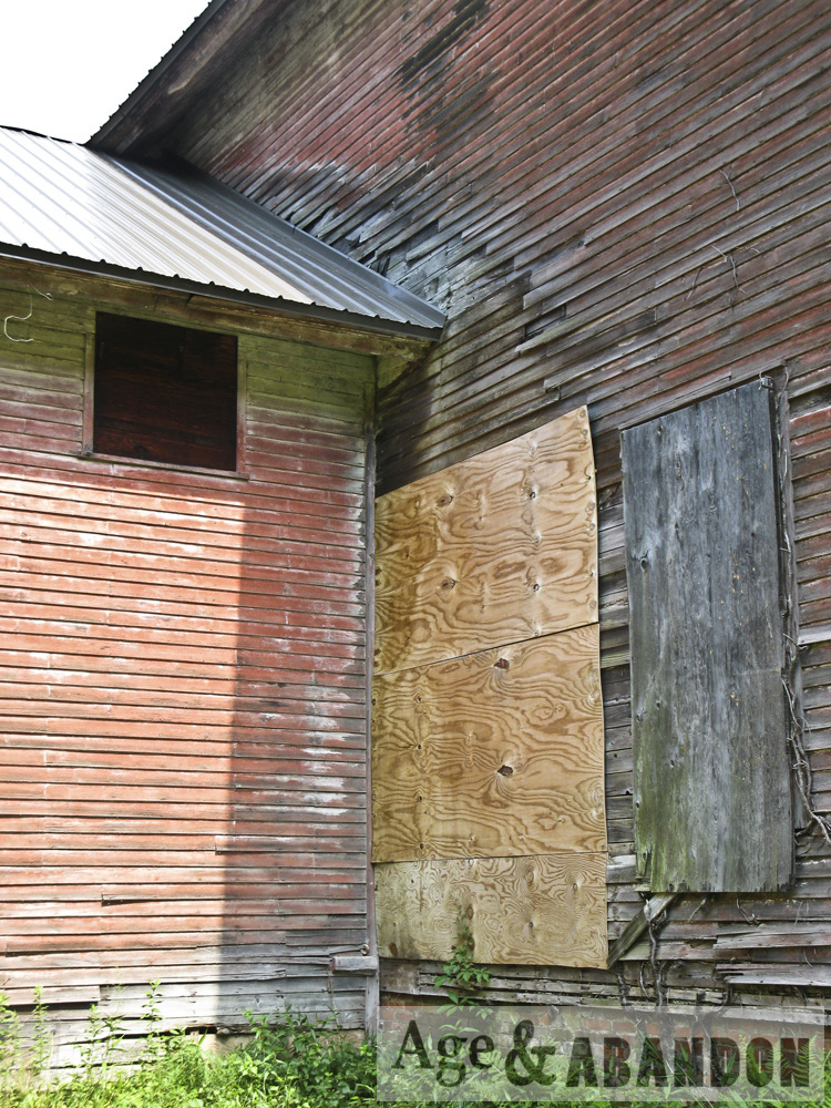
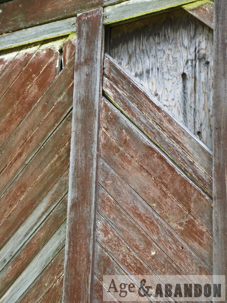
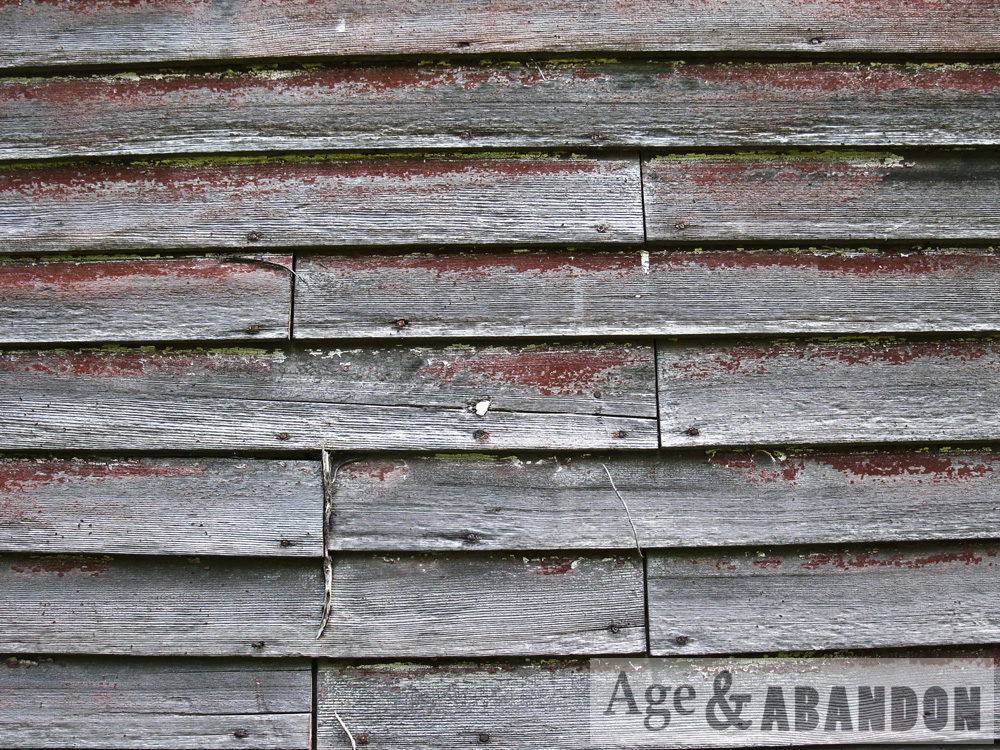
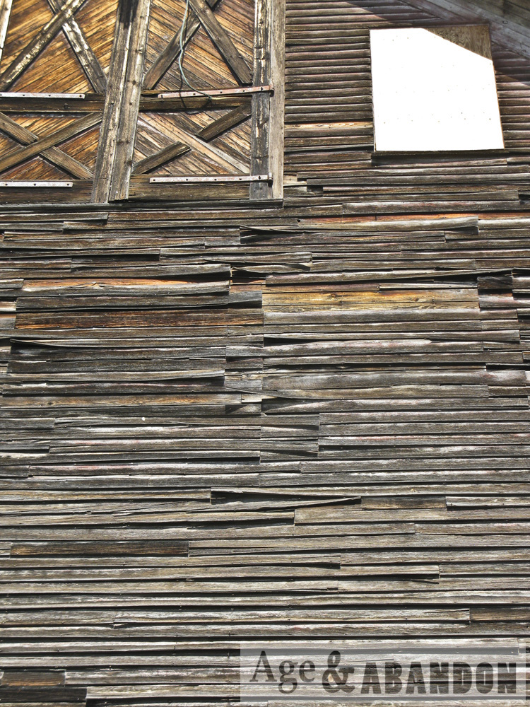
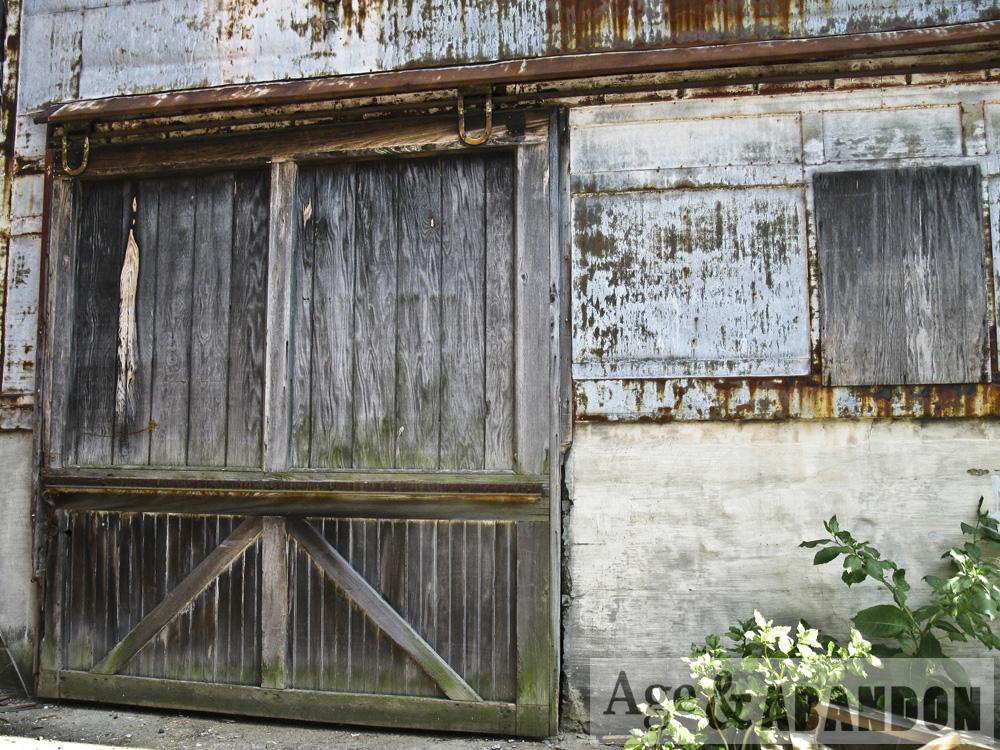
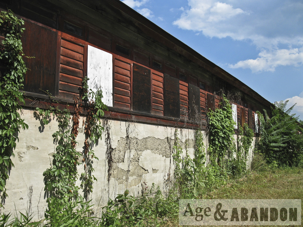
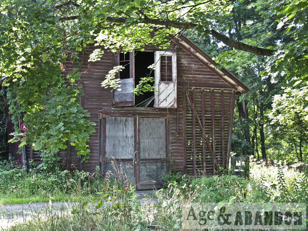
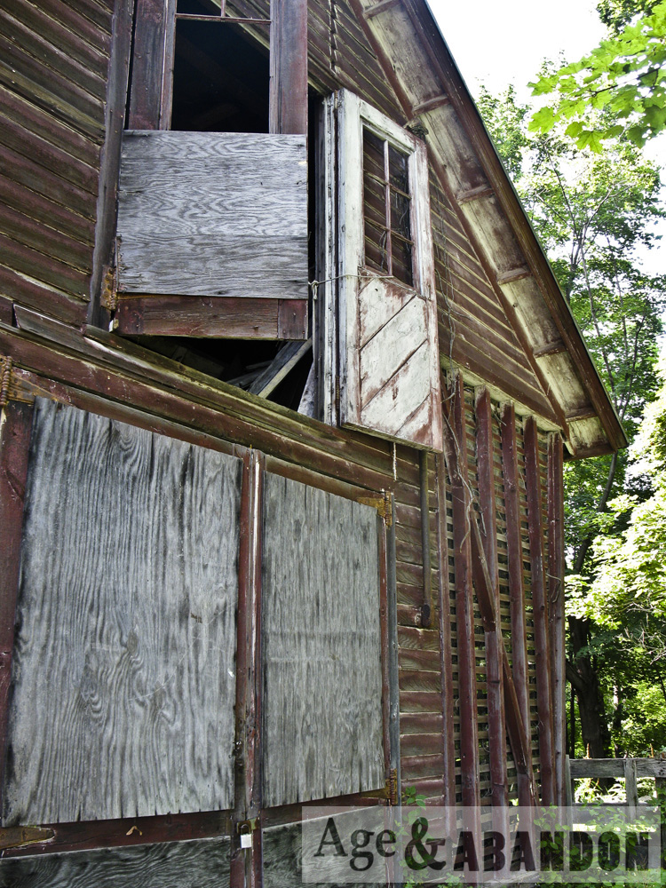
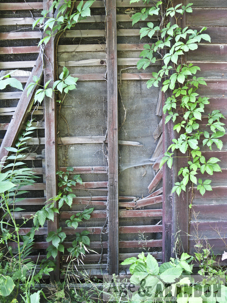
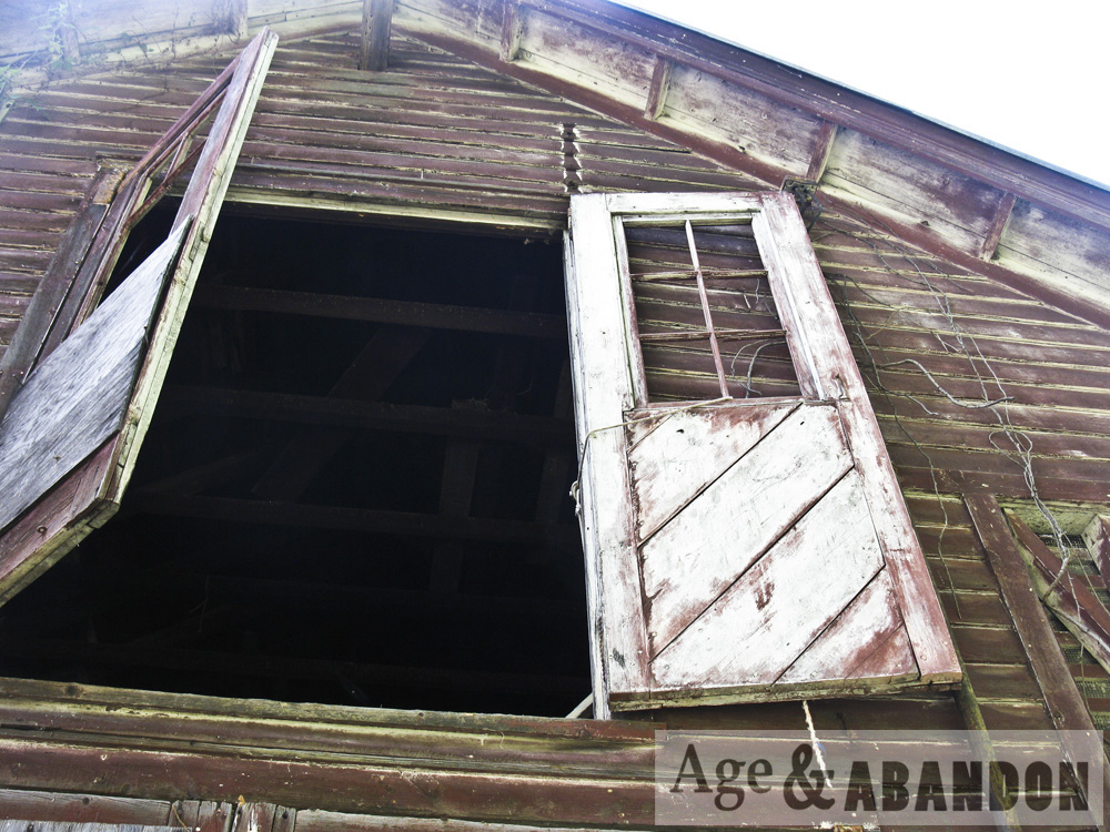
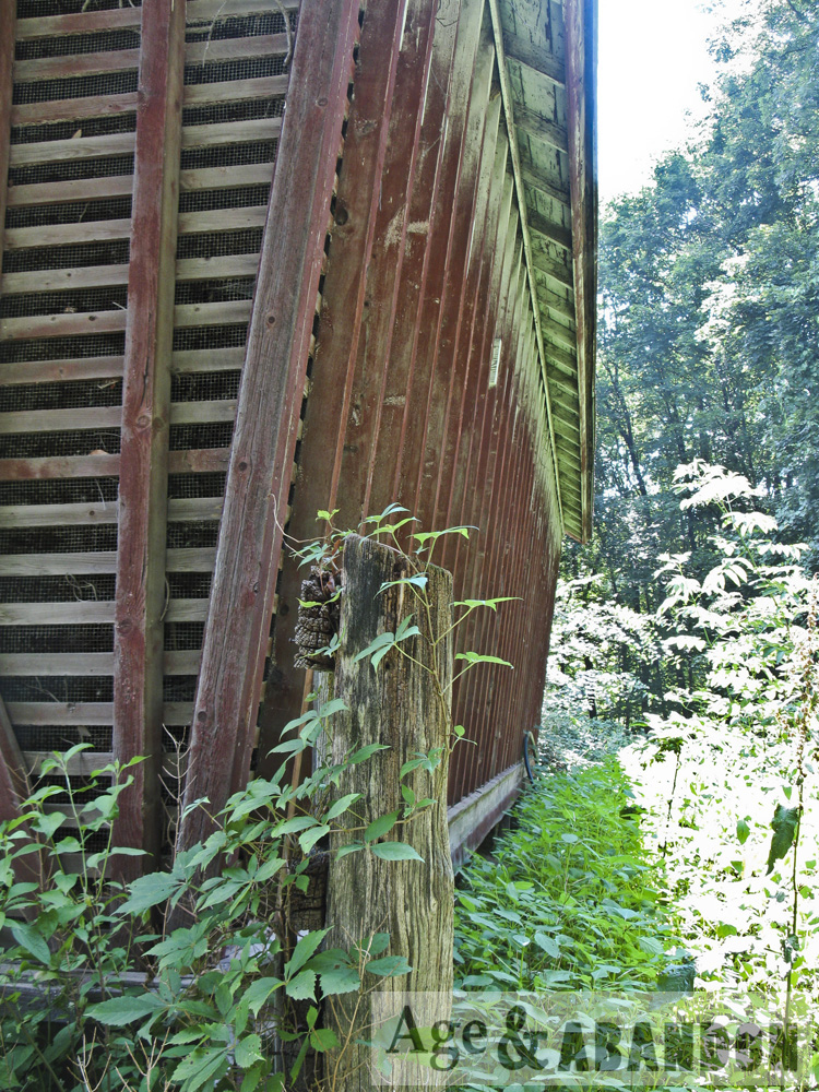
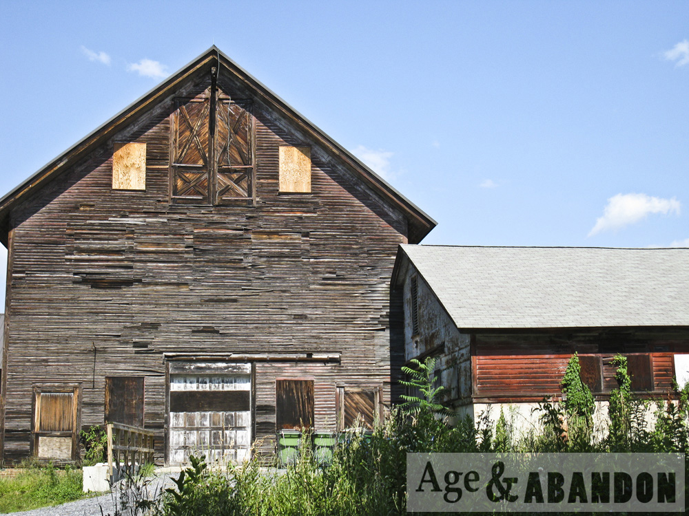
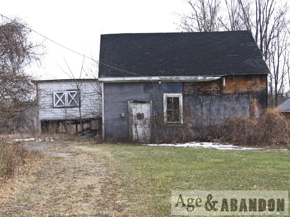
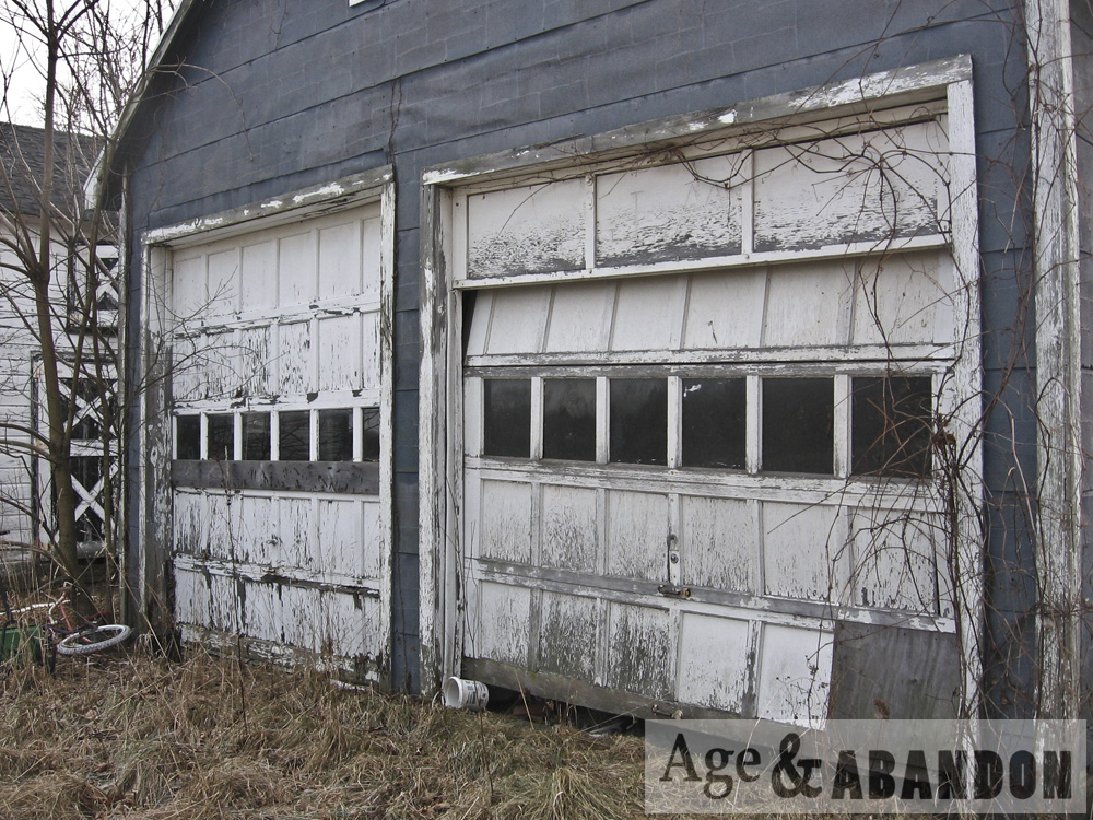
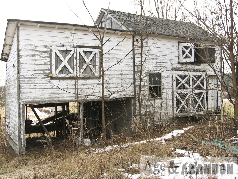
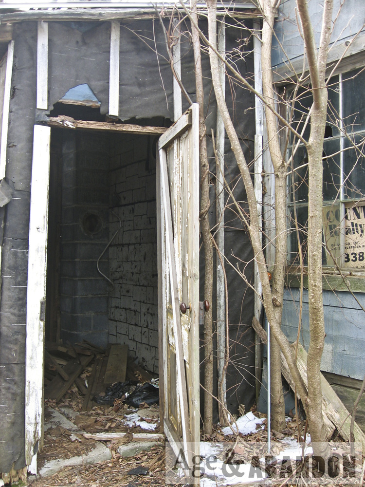
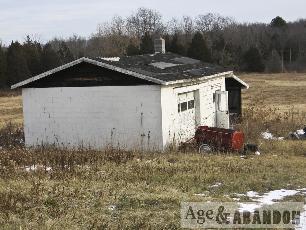
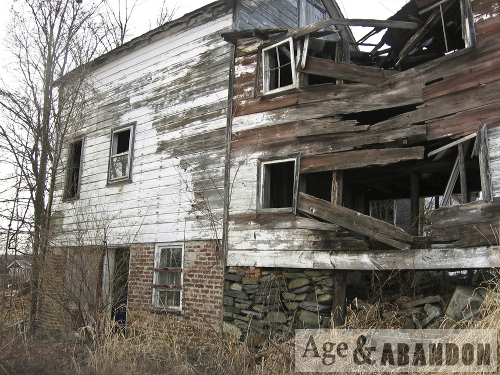
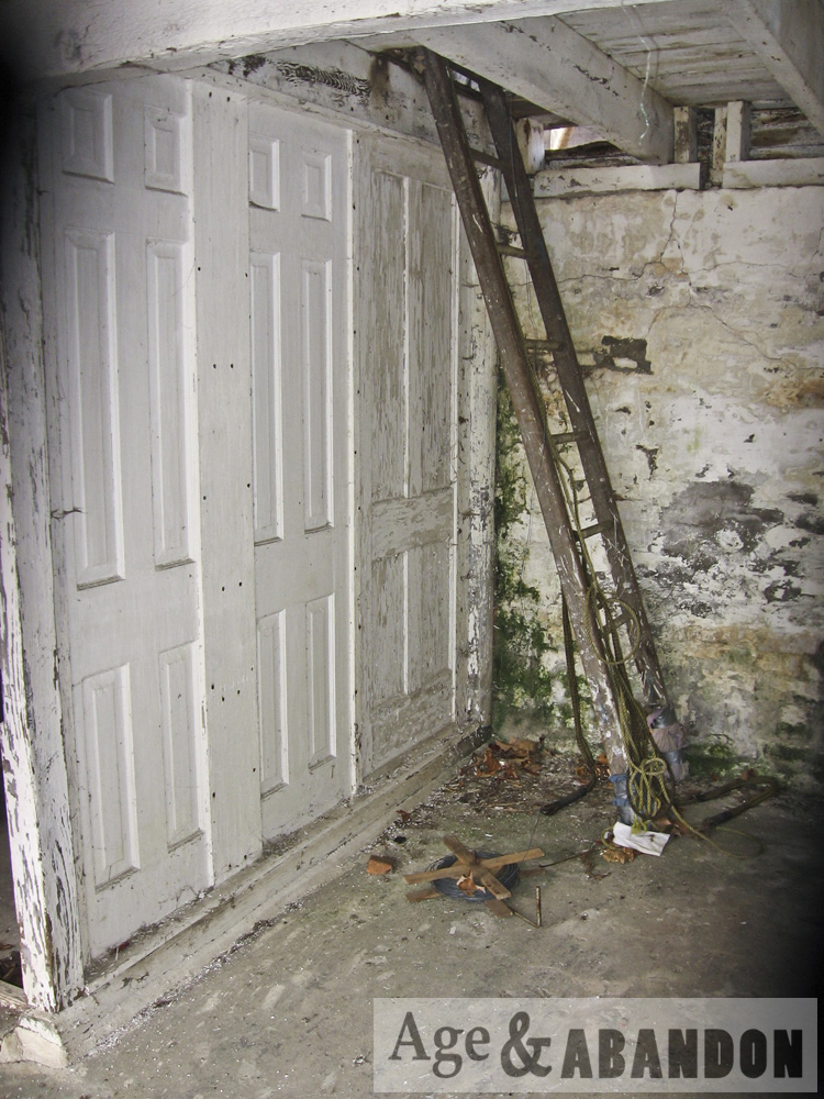
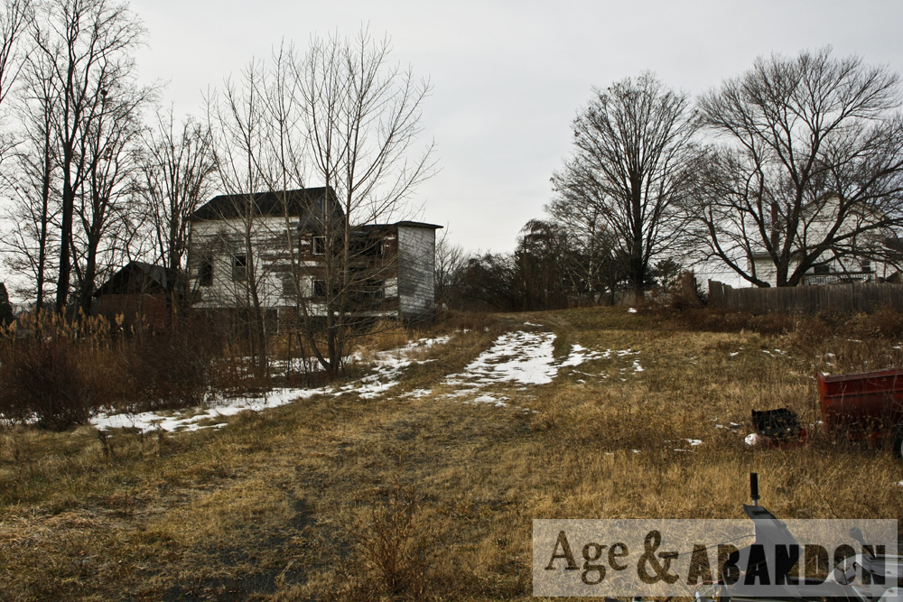
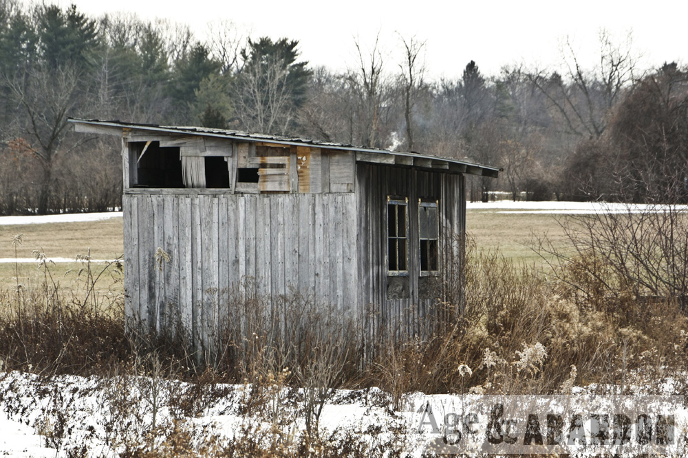
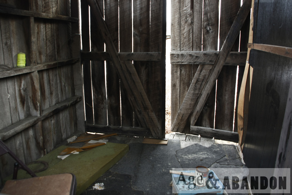
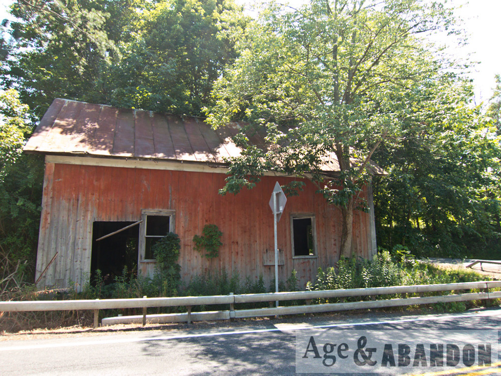
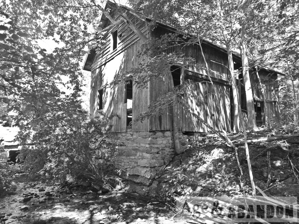
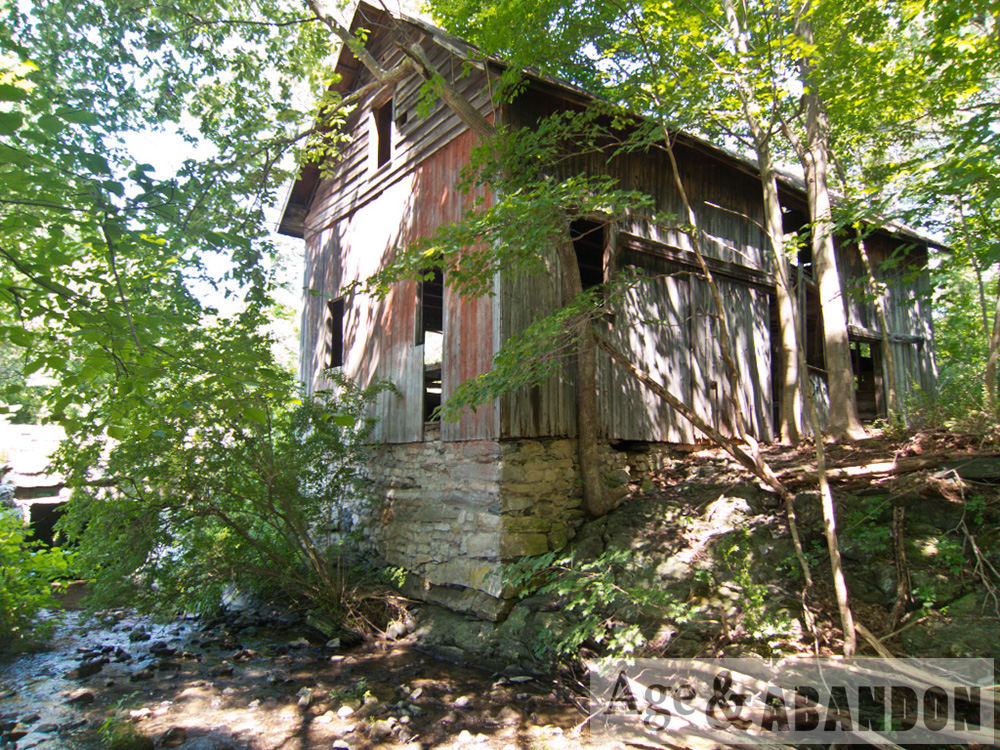
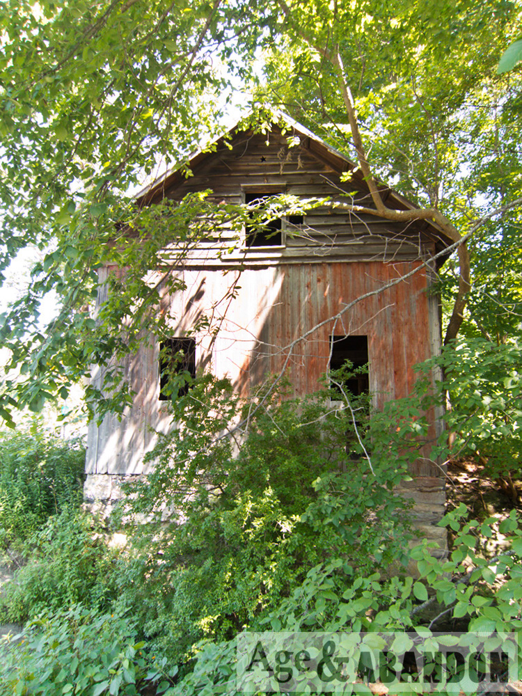
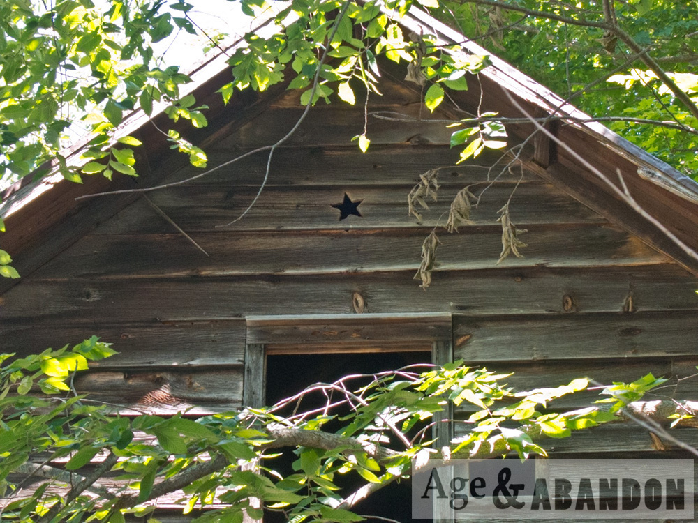
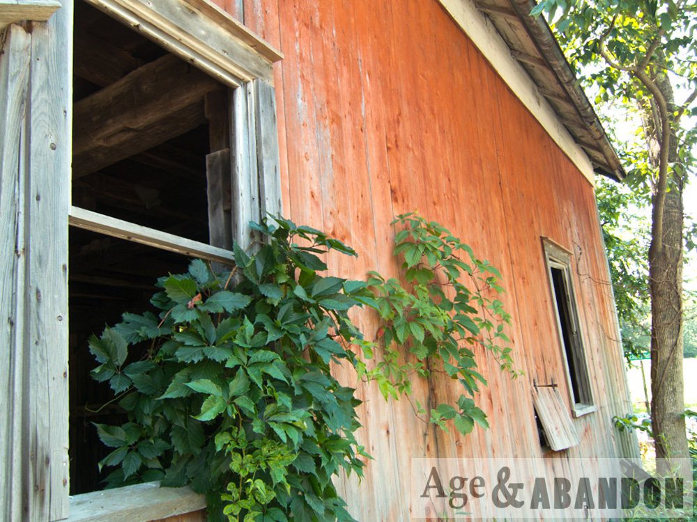
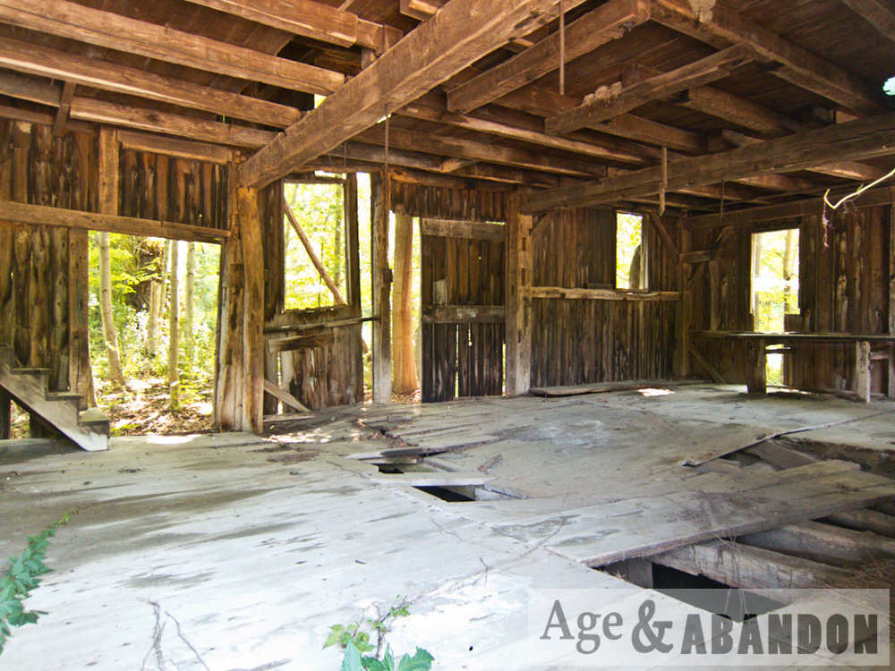
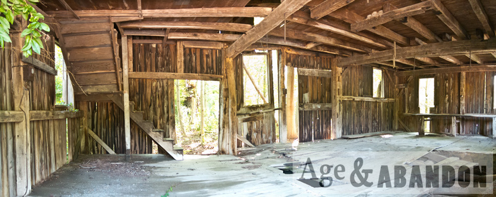
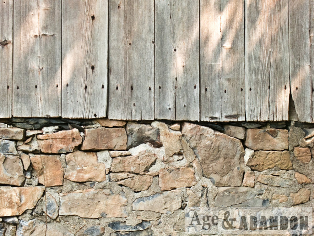
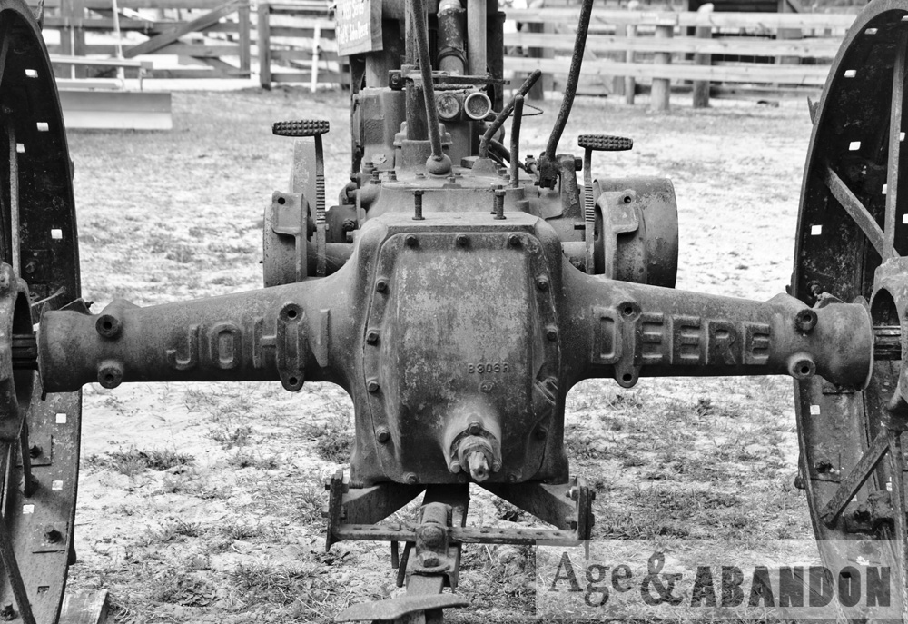
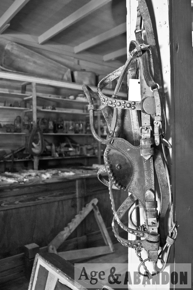
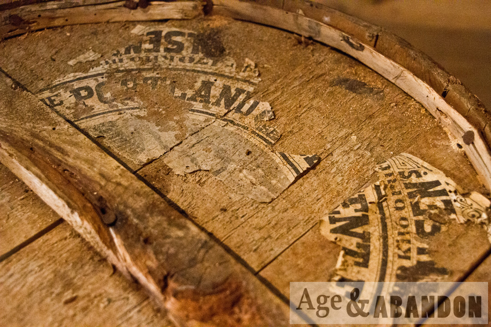
This abandoned farm property is located at 619 Noxon Road in LaGrange.  These buildings are part of a >100 acre farm parcel.  I photographed the house, carriage house, and silo foundation, based on the sketch in the building inventory (mentioned below).  As of 2017 the property may have been sold (it was for sale) because some construction is occurring on the property – namely, the carriage house photographed here has been demolished.

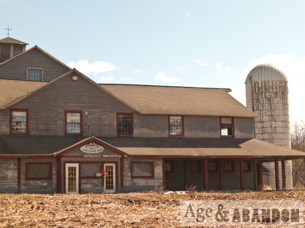
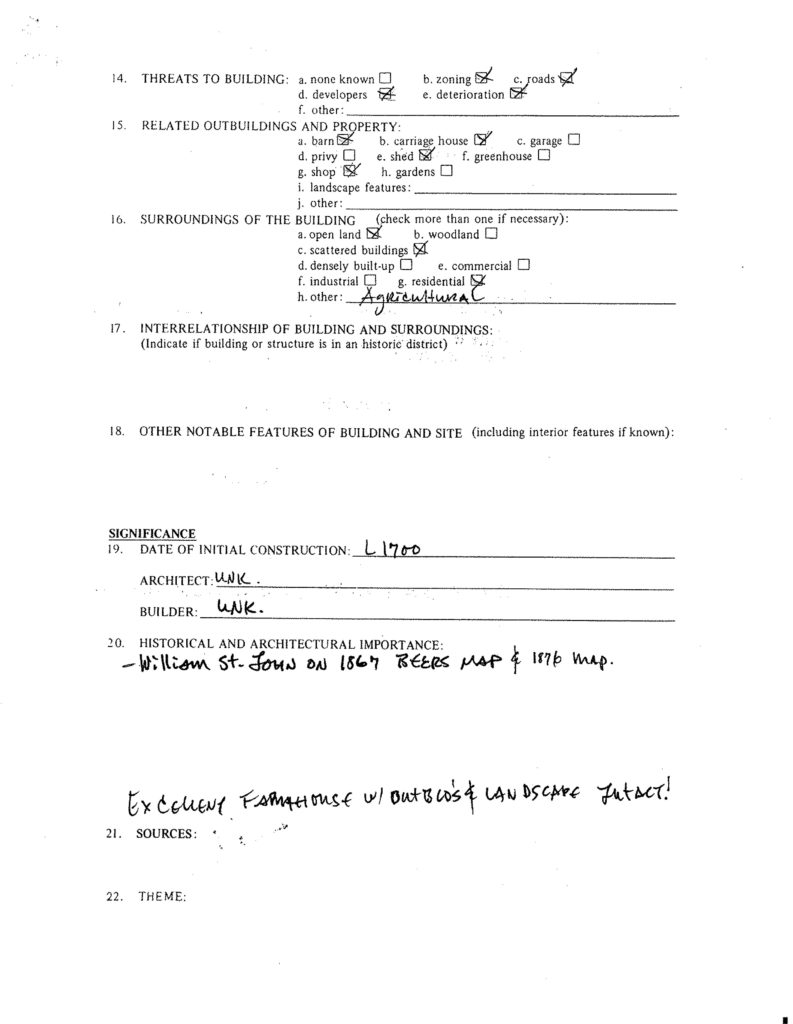
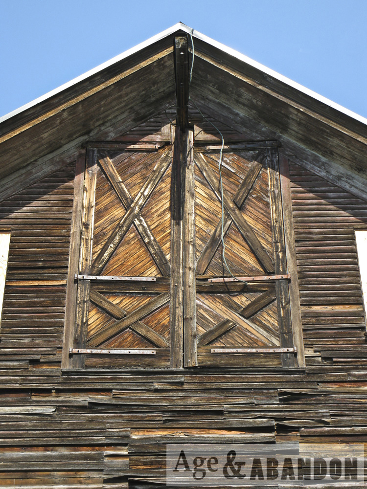
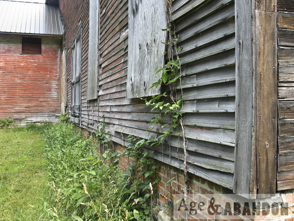
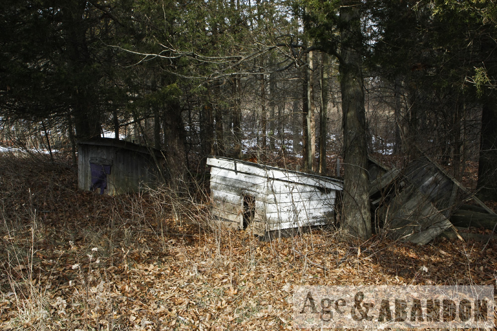
According to the Historic Resource Survey from 1986, the structures on the property date to late 1700s, early 1800s, and middle 1800s, with some outbuilding from the middle-to-late 1800s and early 1900s.

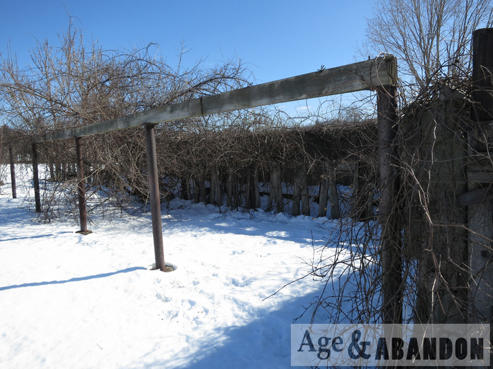
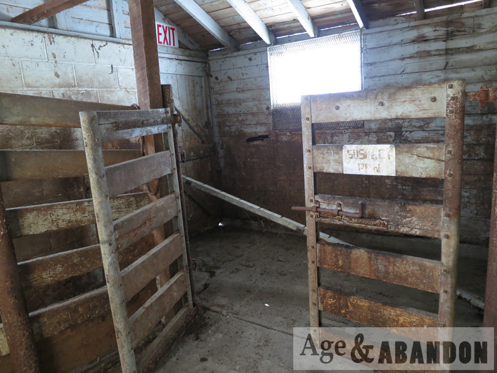
At the October 23, 2013 meeting of the Town of LaGrange Board, a Forest Stewardship Management Plan was submitted to allow for selective cutting of about two acres of trees outside of the restricted areas of the Conservation Easement on the property.  The application was to “cut firewood on the property”, “maintain field edges and fields for crop production”, “keep current farm trails open for access”, “transplant and/or transfer planted conifers”, and “crop tree management for possible future sawtimber production”.  The property was identified as Sleight Farm and owned by the Sleight family.

At the August 18, 2016 meeting of the Town of LaGrange Board, there was an application discussed for a special use permit of the property as the Gray (Vale?) Fox Distillery.  The proposal was to construct the distillery building in the “upper part” of the property.

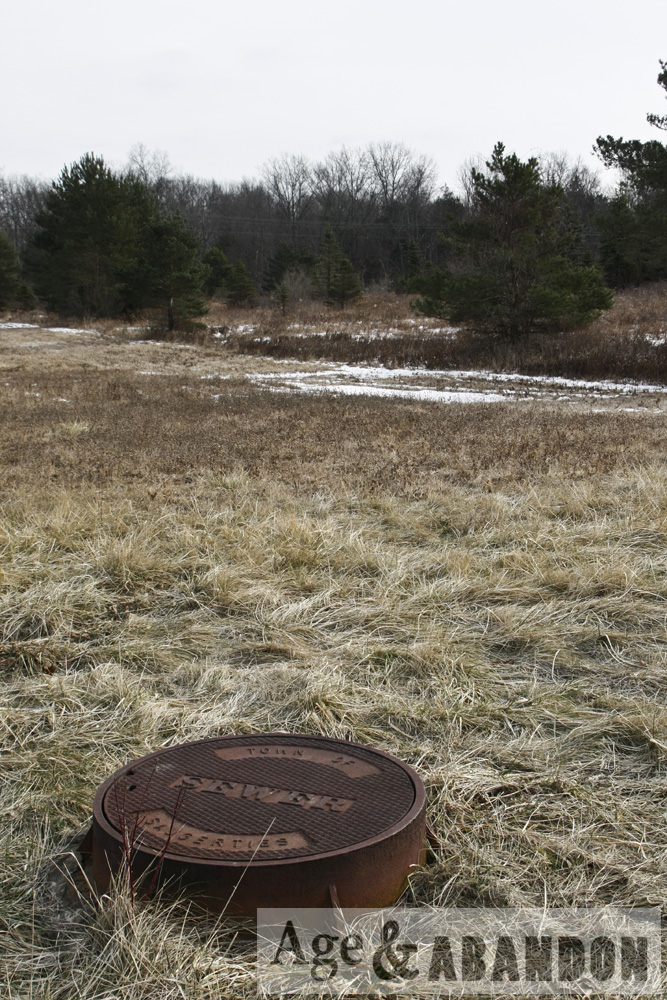
Location:  Google Maps (41.650374, -73.827479)

Philipsburg Manor, Sleepy Hollow, NY

From their website, “Philipsburg Manor was a thriving farming, milling, and trading center owned by the Philipses, a family of Anglo-Dutch merchants. They rented land to tenant farmers of diverse European backgrounds and relied on a community of 23 enslaved Africans to operate the complex.”

The site includes a 300-year-old manor house, new world Dutch barn, and working gristmill.  There are also several hands-on 18th century activities.

More information: Philipsburg Manor

Location: Google Maps (41.088904, -73.863626)

Vassar Farms, Poughkeepsie, NY

Photos of some of the agricultural buildings on the property known as Vassar Farms, owned by Vassar College, in Poughkeepsie, NY.  Since these photos were taken, they renovated a portion of the main barn (dairy wing).  According to the website for the Environmental Cooperative, Vassar College purchased the property in the early 1900s and moved its farming operation, which supplied much of the food for the college, from the main campus to this nearby property.  This move of operations “necessitated the construction of a poultry farm, stables, greenhouses, storage barns, and a model dairy barn. By the 1950s, the farming operation was no longer economically viable; all of the cows were sold, and the Vassar Farm stopped producing its own vegetables and milk products.”

More Information:  The Environmental Cooperative at the Vassar Barns

Location:  Google Maps (41.678131, -73.897138)

Old Farm, Saugerties, NY

This farm property is located on Route 32 in Saugerties, NY.

At the time of these photos (2011), four structures occupied the property:  A garage, a barn, a block garage, and a shed.  The garage was being used for storage of household items.  The block garage was being used for storage of tools and equipment typical of a household workshop.  The barn was mostly empty and deteriorated.  The shed was also mostly empty.  A house was also associated with the farm property.

A stand of evergreen trees was located in the southeast corner of the property that may have been operated as an area for growing Christmas trees at one time.

According to a Phase I Cultural Research Investigation dated September 2003 and locals, the property was part of an old farm homestead.  Several lots were subdivided from the main property over time.  The house that is the main structure of the homestead (located on the lot adjacent to this property), was built between 1875 and 1891.  Prior to that time, the subject property was vacant.

Location:  Google Maps (42.034752, -73.954876)

Abandoned Barn, Pine Plains, NY

This is an abandoned barn at the intersection of Schultz Hill Road and Route 199 in Pine Plains, NY.  It may have been a blacksmith shop at some point, based on some historical research.  Not photographed is the fact that there is some machinery under ground in the basement that appears to have been powered by the stream through a raceway.

Location:  Google Maps (41.978771, -73.615832)

Florida Agricultural Museum, Palm Coast, FL

From their website, “Learn about Florida’s farming history, rare heritage livestock, native plants and wildlife. Rare cracker horses and cattle, descendants of the first Spanish settlers’ livestock, make their home at the Museum. Learn about the history of the Museum and the authentic structures relocated onto the Museum grounds and carefully restored. The Museum’s farm showcases an abundance of native Florida plants and wildlife.

More information: Website

Location:  Google Maps