Cripple Creek and Victor Narrow Gauge Railroad, Cripple Creek, CO

In 1965, Dr. John M. Birmingham purchased two locomotives from the Climax Molybdenum mine of Colorado. In 1967, he opened the Cripple Creek and Victor Narrow Gauge Railroad (CC&V RR) for business.

Location: Google Maps (38.747449, -105.172025)

More information: Cripple Creek Railroad; Colorado Encyclopedia entry on Cripple Creek

Vacant Land, Poughkeepsie, NY

This formerly-developed property is located along Albany Post Road/South Road/Route 9 where it intersects with Old post Road, just north of the Poughkeepsie Galleria mall.  Remnants of its previous usage are present, including road beds and some paved areas, but little remains of any structures.  Historic aerial photos show houses were located along the road from the 1950s to the 1980s.

More information:  Historic aerial photos

Location:  Google Maps (41.629624, -73.917273)

New Hamburg Train Tunnel, Poughkeepsie, NY

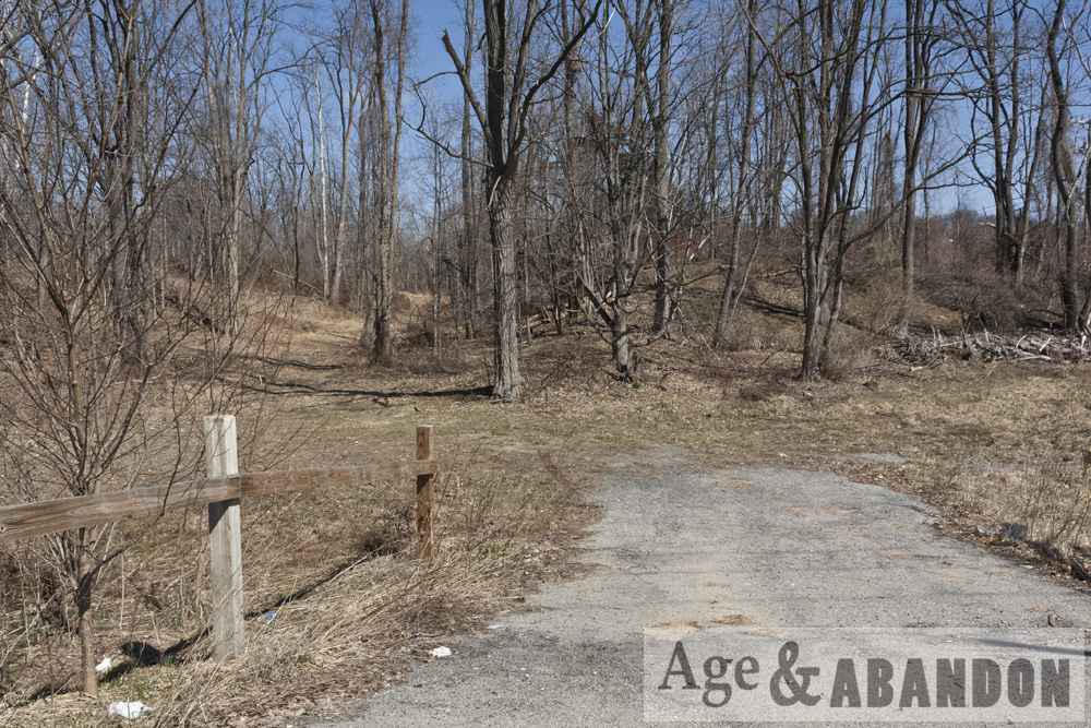
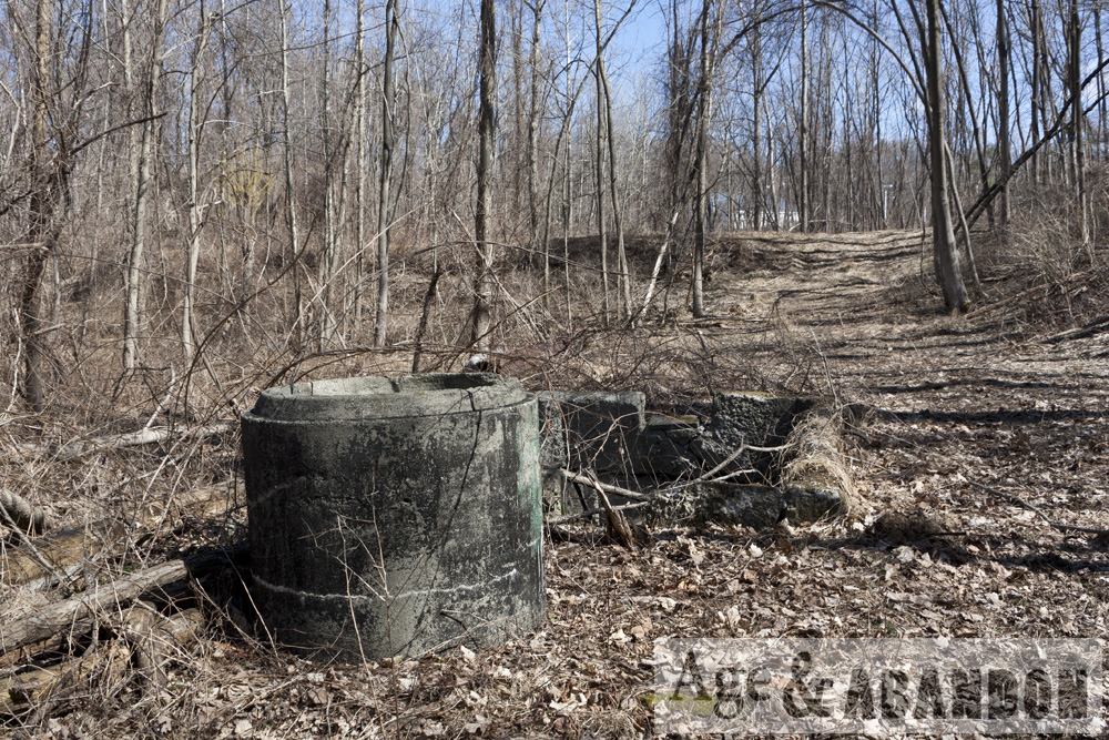
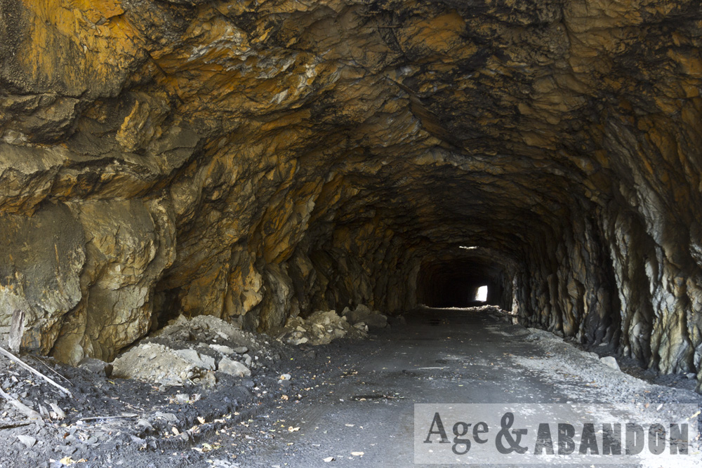
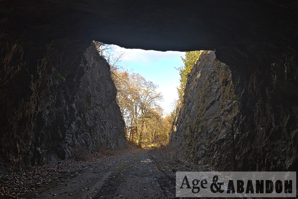
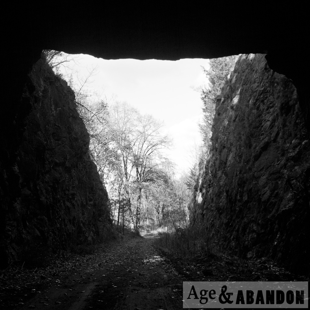
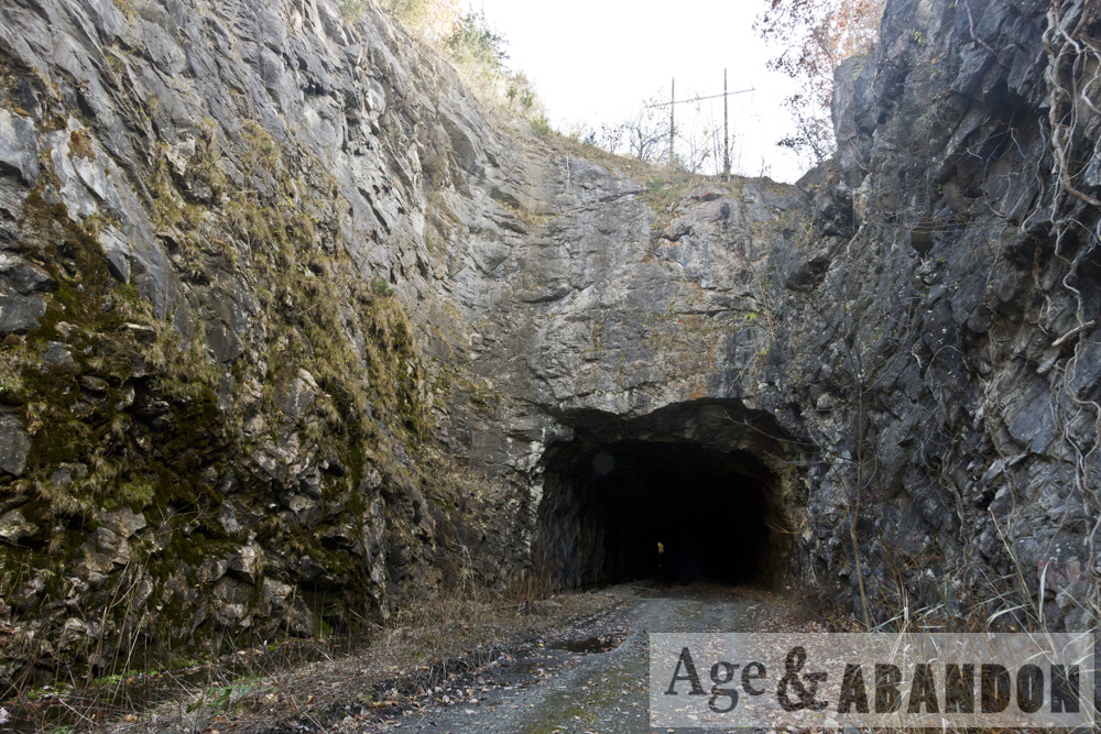
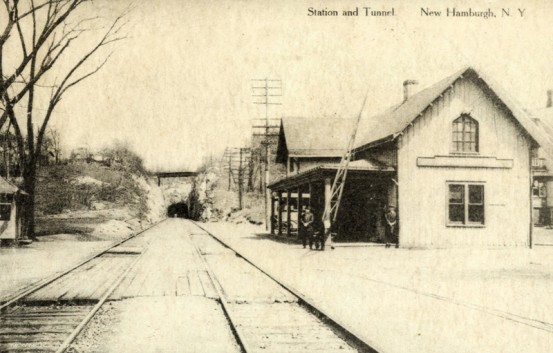
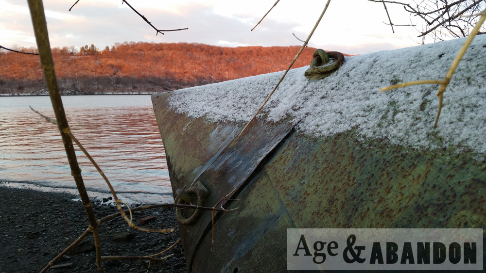
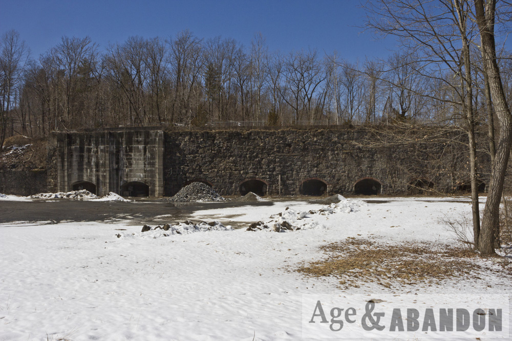
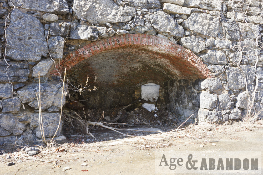
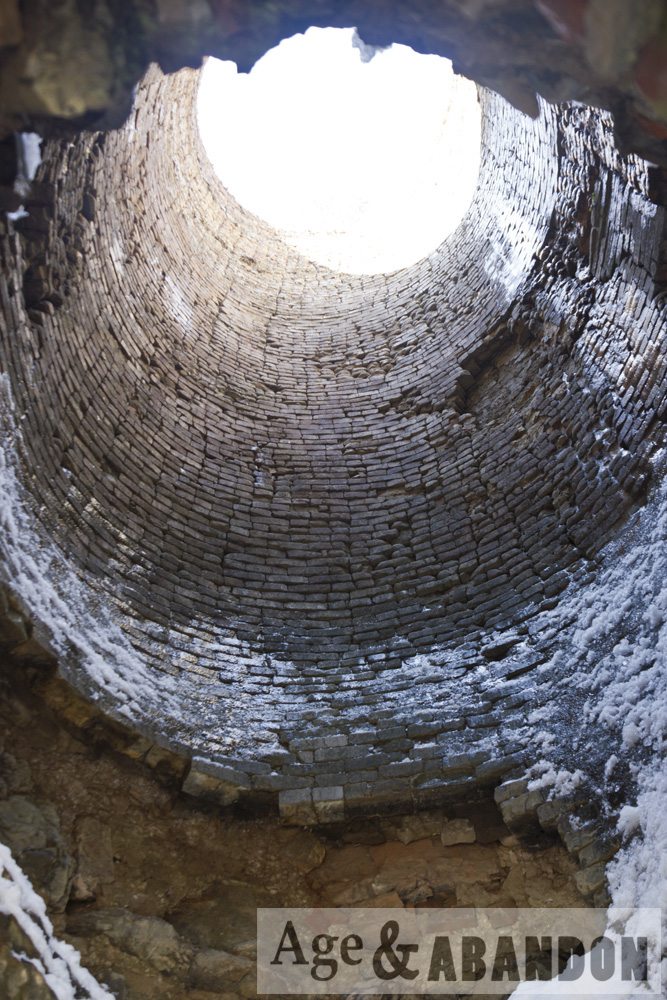
This is an abandoned train tunnel just north of the New Hamburg, NY (a hamlet of Poughkeepsie) railroad station.  I also included a photo of the tunnel with the original train station.  Here is some history, taken from steamphotos.com:

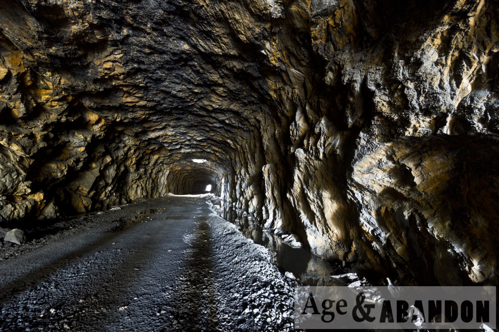
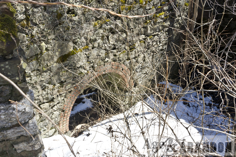
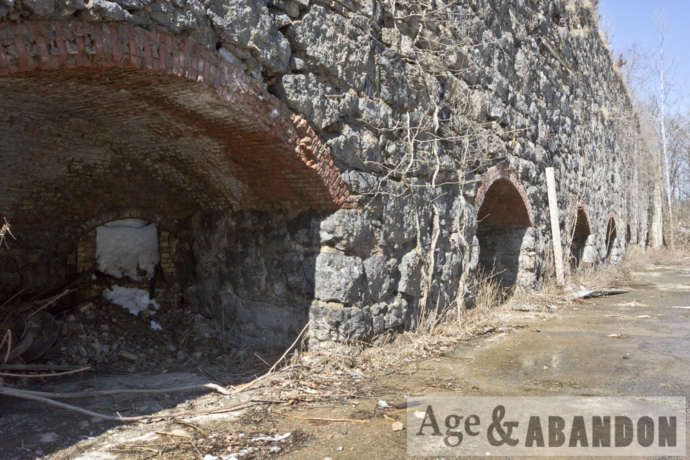
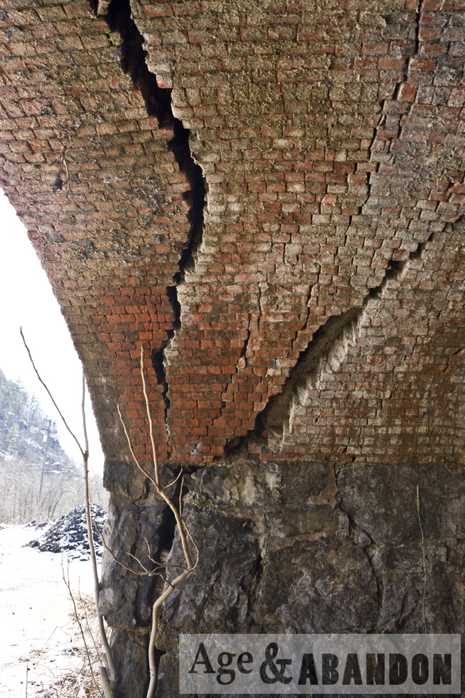
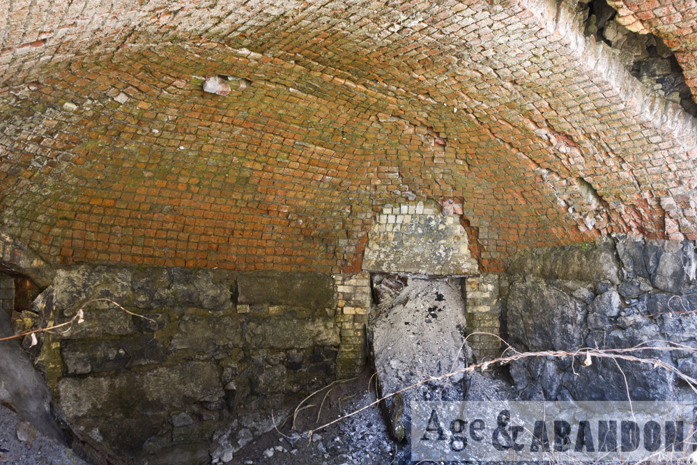
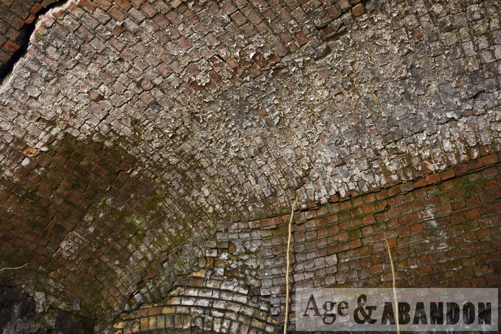
“The Hudson River Railroad was chartered in 1846 to construct a route between New York City and Albany along the east bank of the Hudson River. The line was completed to Poughkeepsie in 1849 and to Albany by 1851. Just north of New Hamburg station, the railroad blasted a curved 836-foot unlined tunnel built to accommodate two tracks with a width of 24 feet and height of 18 feet at center.

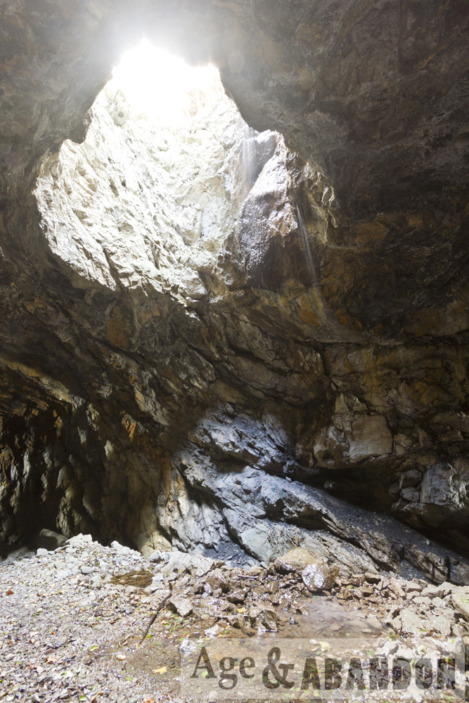
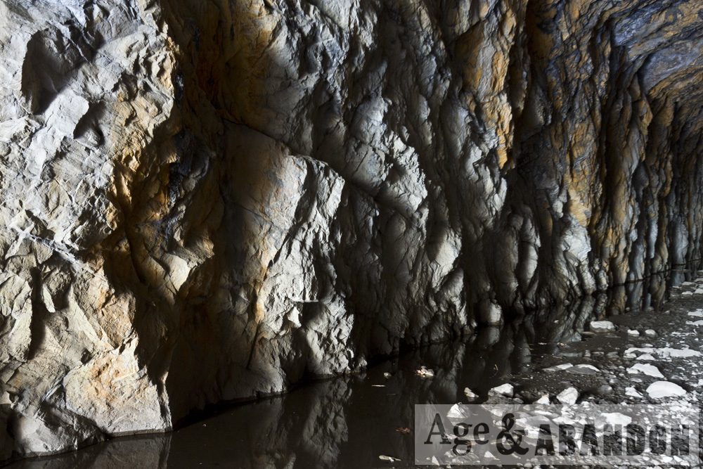
“Tunnel construction began in September 1848 with the use of two vertical shafts 245 feet apart, one 45 feet deep and the other 35 feet deep from surface to tunnel ceiling. The tunnel was blasted in both directions from each shaft, as well as from the north and south ends, a total of six faces which were worked simultaneously. Construction took 16 months and completed on December 27, 1849. Use of the shafts significantly increased expenses as it required that all rock and water be hoisted to the surface and that fresh air be pumped in during blasting. However, upon completion, civil engineer Thomas Meyer estimated that use of the shafts saved more than a year of construction time as it allowed tunnel excavation to progress simultaneous to the blasting of cuts through an additional 700 feet of solid rock at the tunnel’s portals.

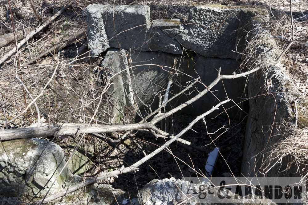
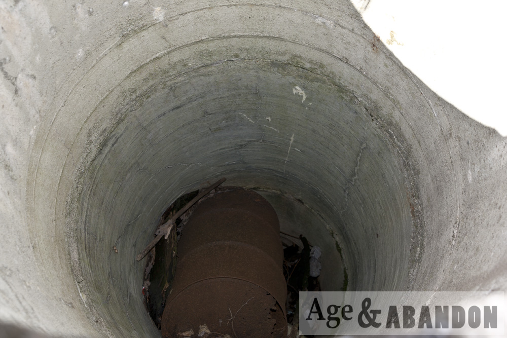
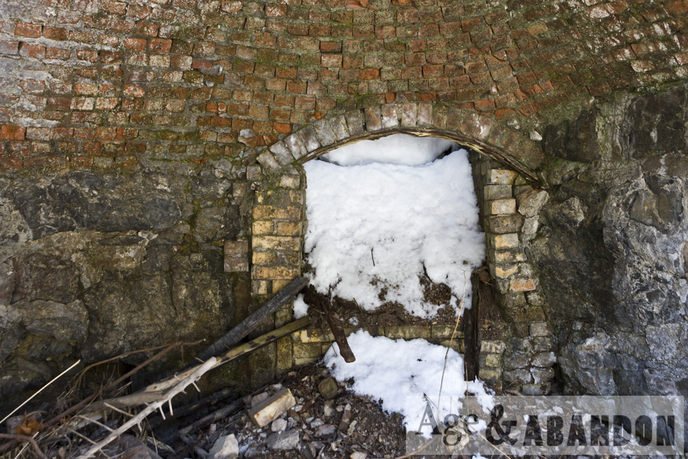
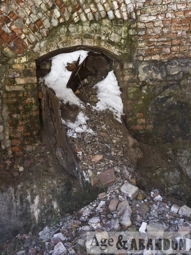
“The New York Central (NYC) obtained control of the Hudson River Railroad in 1864. Increased traffic on the NYC’s Hudson Division required an expansion to four tracks and realignment in New Hamburg. In 1930, the double-track tunnel was replaced with a parallel open cut which continues to serve Metro-North and Amtrak. Today, the tunnel remains in good condition and is used by Metro-North maintenance crews to access the current right-of-way north of New Hamburg. The southernmost shaft is protected at the surface with a metal grate, allowing light to enter and water to cascade from the tunnel ceiling. The northern shaft has been covered at the surface.”

More Information:  SteamPhotos

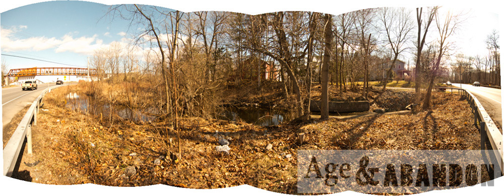
Location:  Google Maps (41.588977, -73.947286)

Dam, LaGrange, NY

This dam is located on Old Manchester Road/Titusville Road in the Town of LaGrange, NY, in an area also known as “Manchester”.  Maps from the 1800s show a mill located on a pond in this location.  According to historic aerial photos, the pond was drained to be back to just a creek in the 1980s.

More information:  Historic aerial photos

Location: Google Maps (41.683184, -73.866793)

Torpedo Boat, Poughkeepsie, NY

The USS Blakely and USS Shubrick were Blakely class torpedo boats constructed in 1899. They served in various capacities until 1920 when they were both sold for scrap to U.S. Rail and Salvage Co. in Newburgh, N.Y. The cut off bow of one of these vessels was then used as land fill in Poughkeepsie south of the Mid-Hudson Bridge.  These are photos of the boat.

More information: USS Shubrick, USS Blakely

Location:  Bing Maps (41.690041, -73.938759)

Hogback Mountain Ski Area, Brattleboro, VT

Hogback Mountain is an abandoned ski area approximately 16 miles west of Brattleboro, Vermont, accessed by VT Route 9.

History from http://www.nelsap.org/vt/hogback.html: Hogback Mountain was a ski resort from 1946 to 1986.  Increasing insurance rates in combination with competition from nearby resorts led to the area closing in 1986.  The Hogback Mountain Conservation Association purchased the land in 2010 and transferred a conservation easement to the Town of Marlboro. The land is now open to the public.

These photos were taken along the Tower Trail along Hogback Mountain.

More information: https://www.hogbackvt.org/