Gothic Revival House at 3700 Albany Post Road, Hyde Park, NY

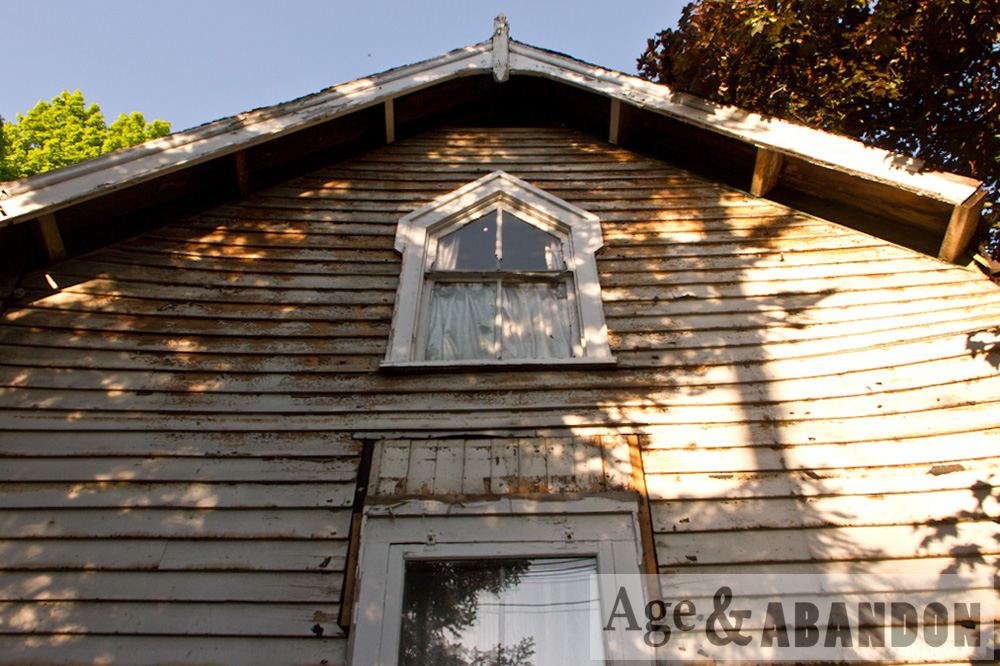
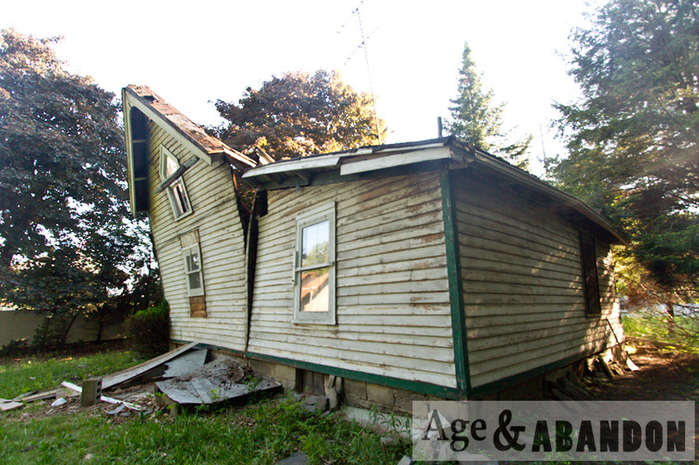
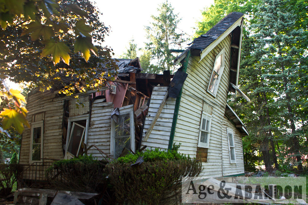
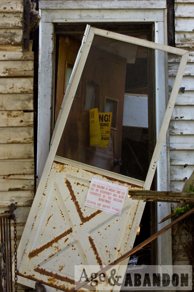
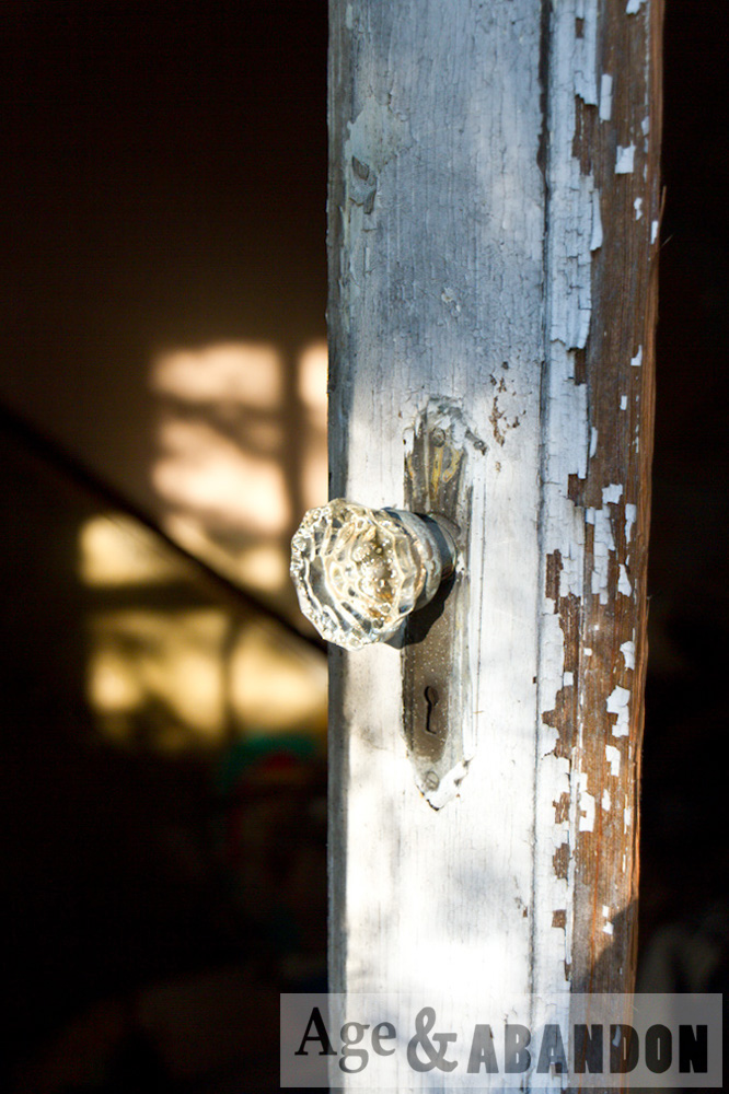
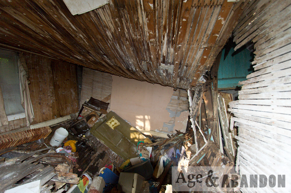
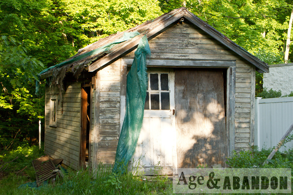
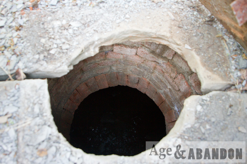
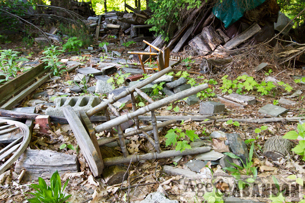
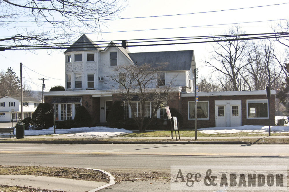
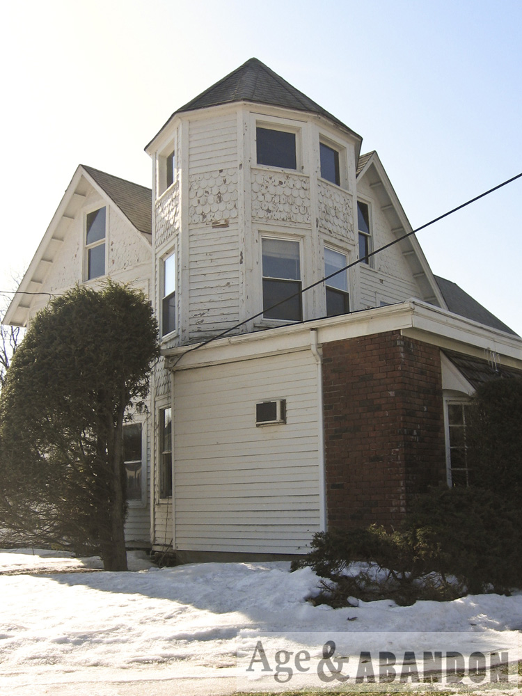
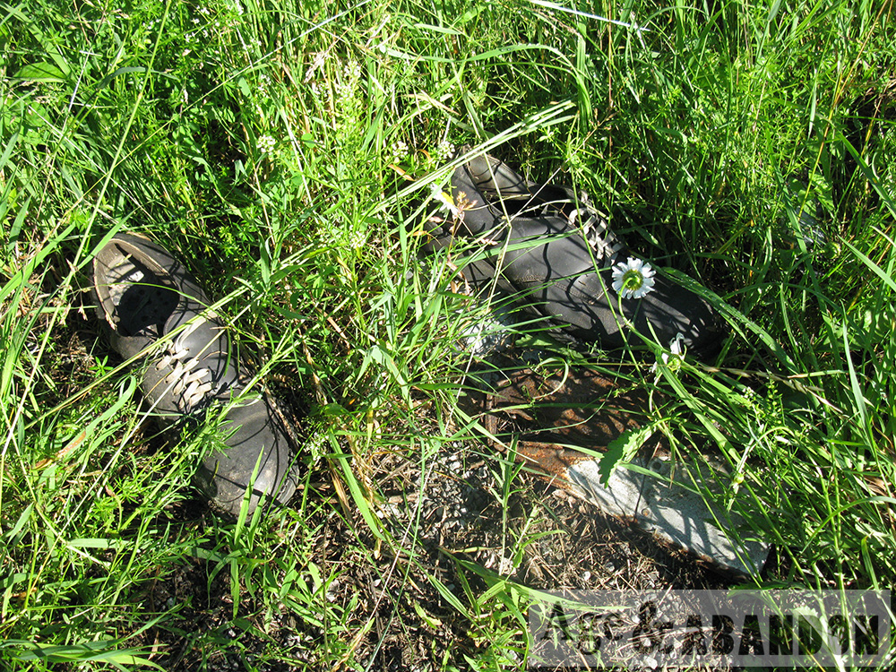
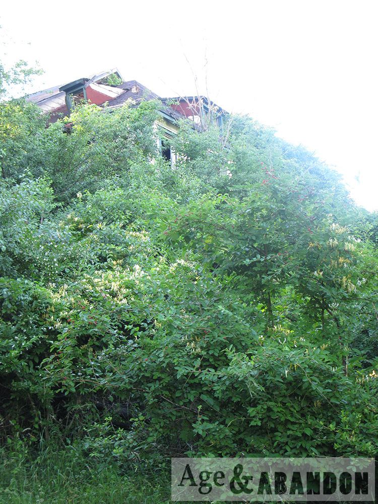
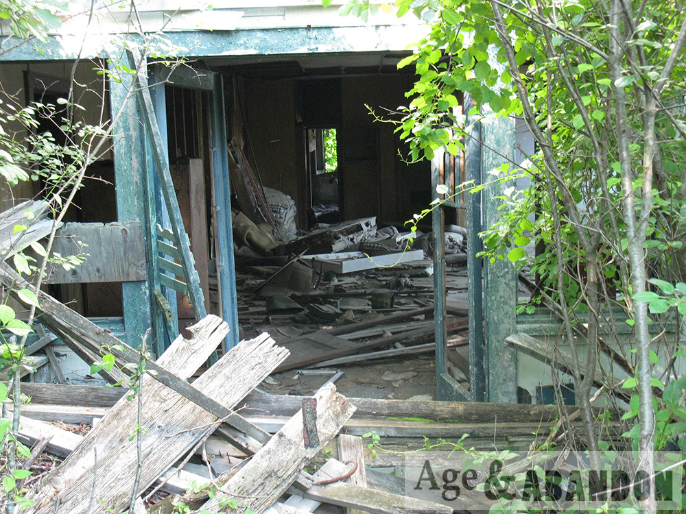
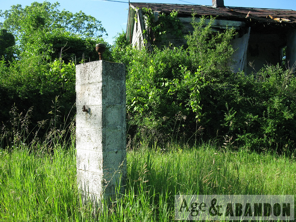
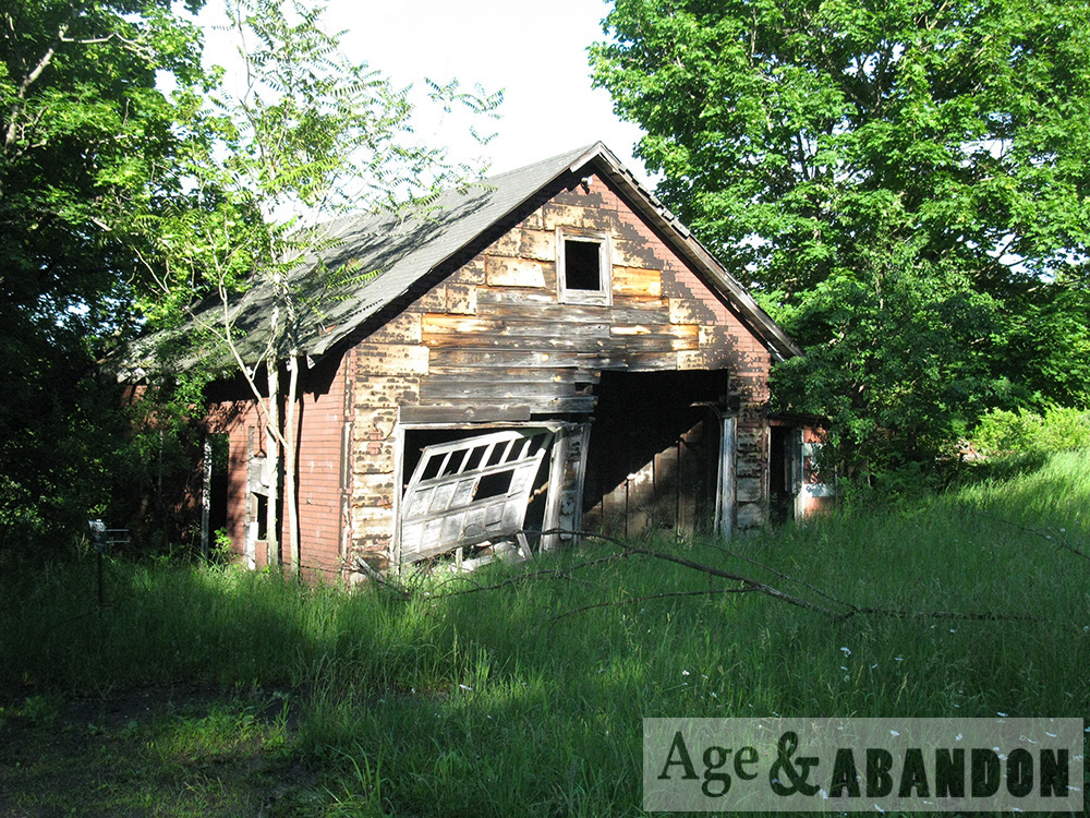
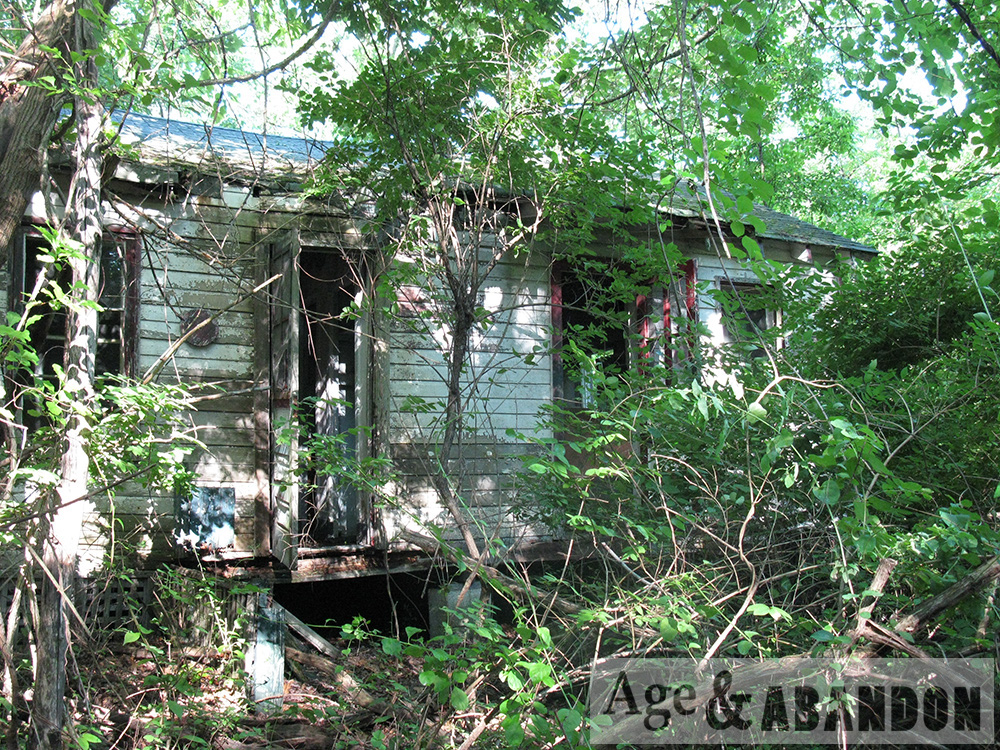
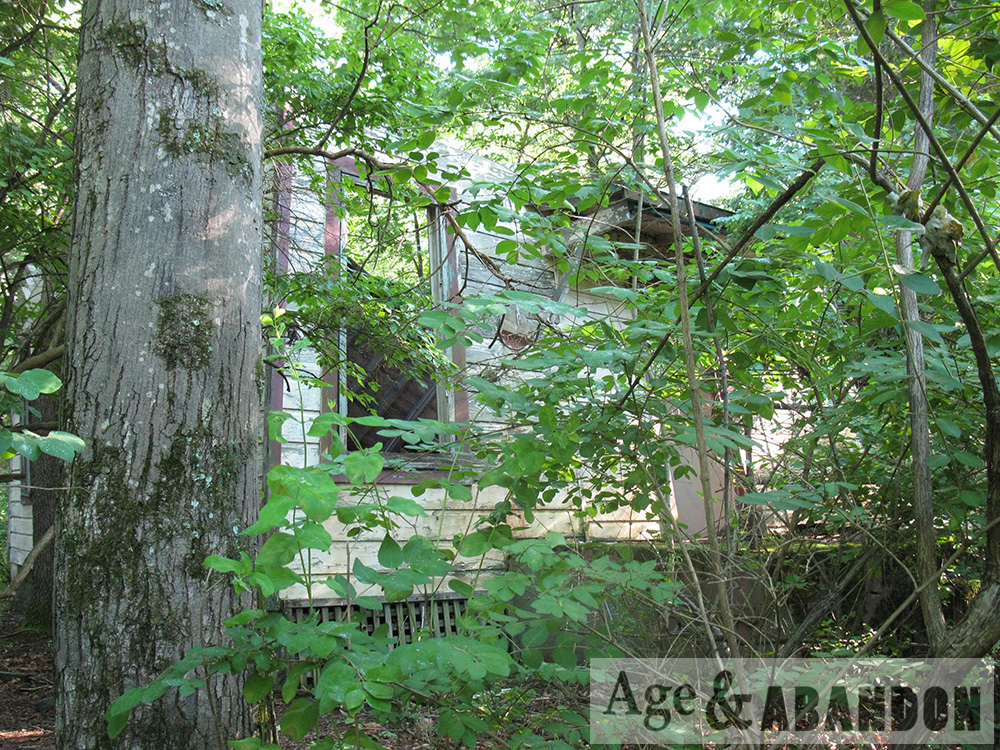
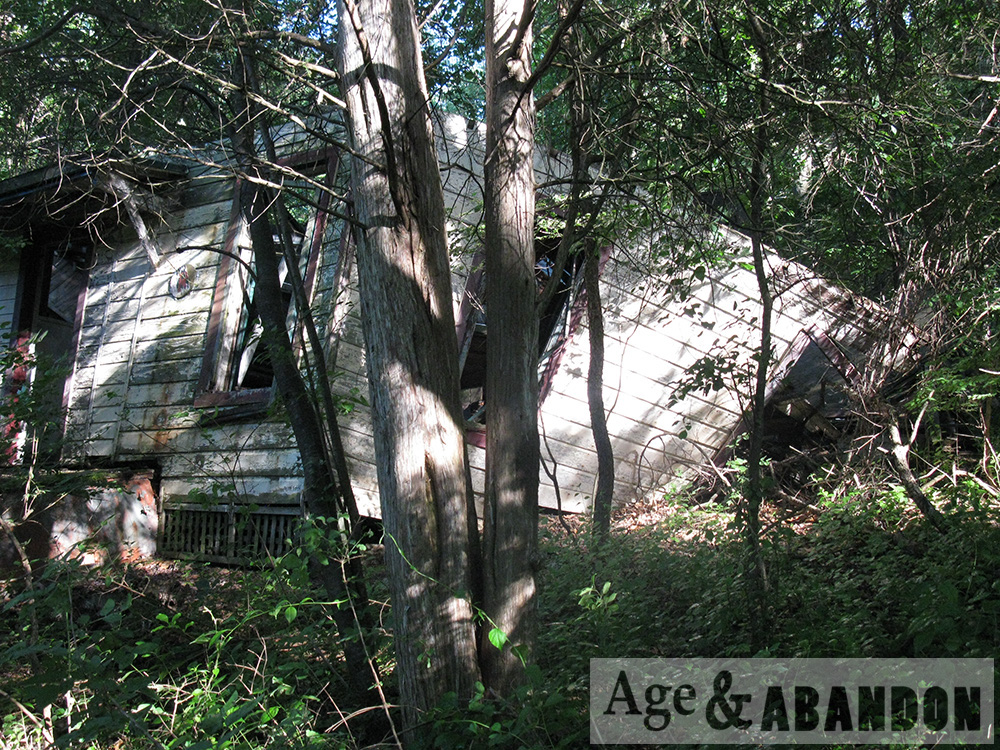
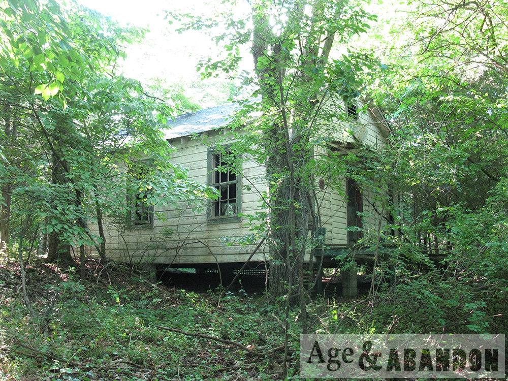
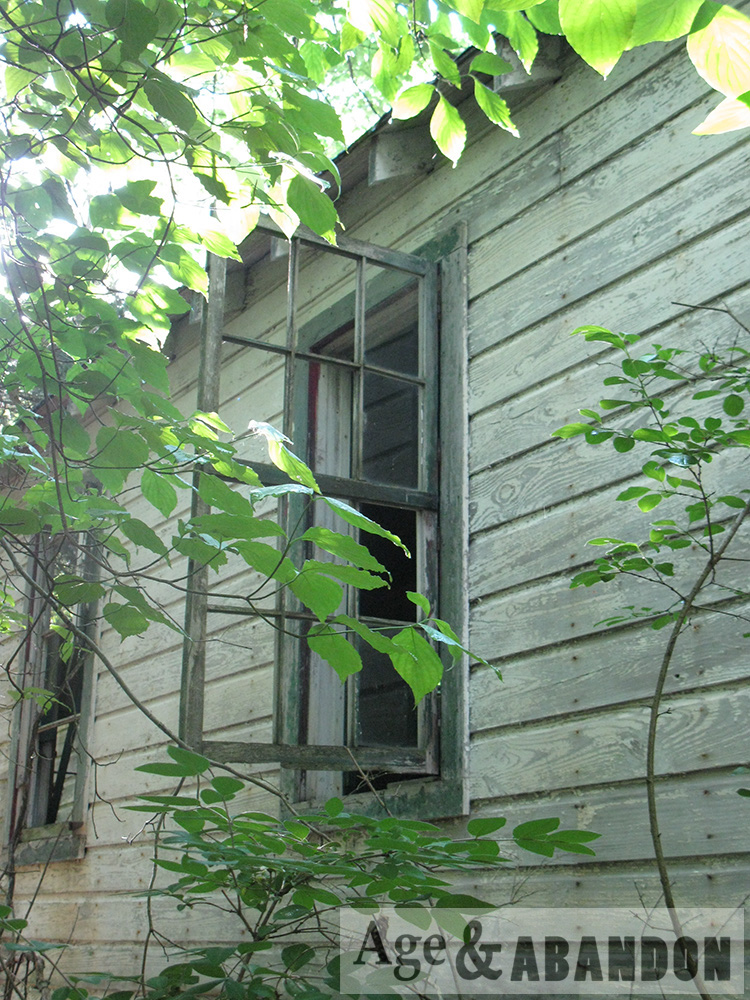
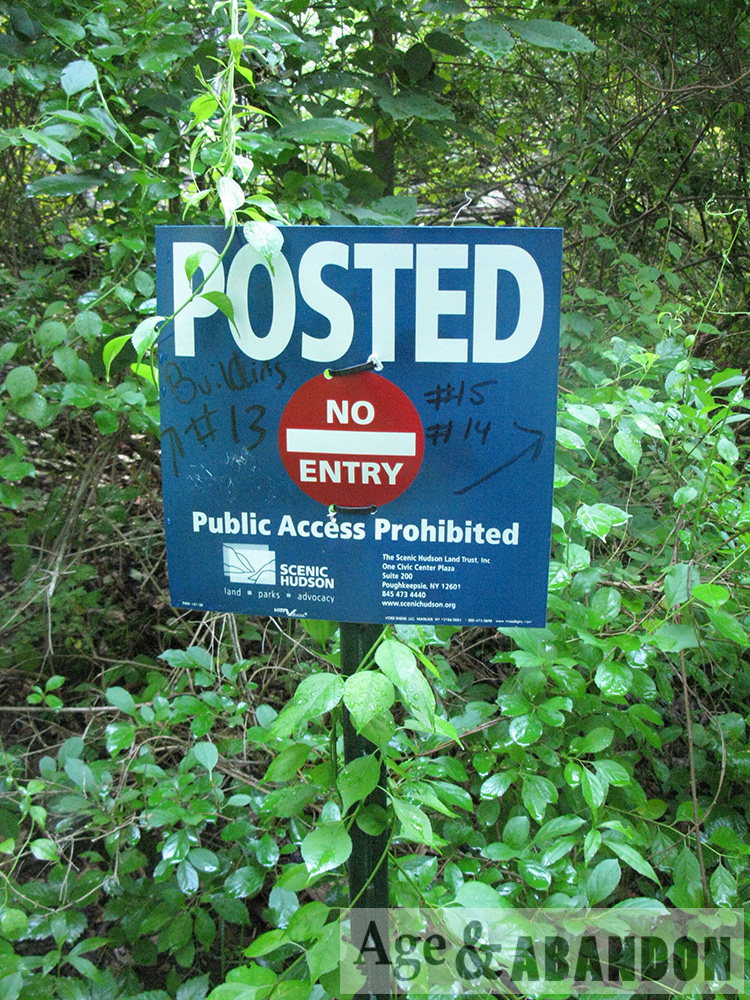
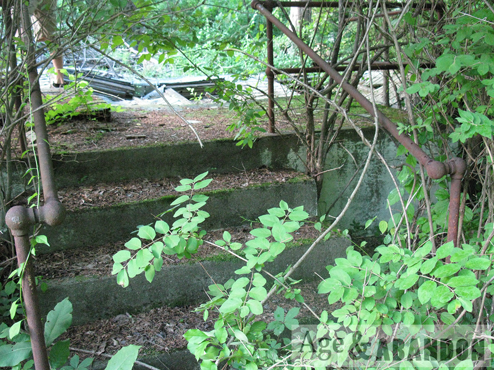
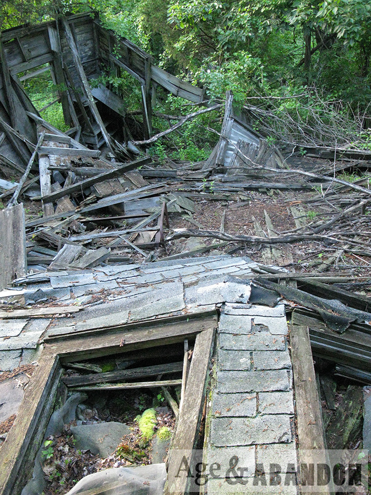
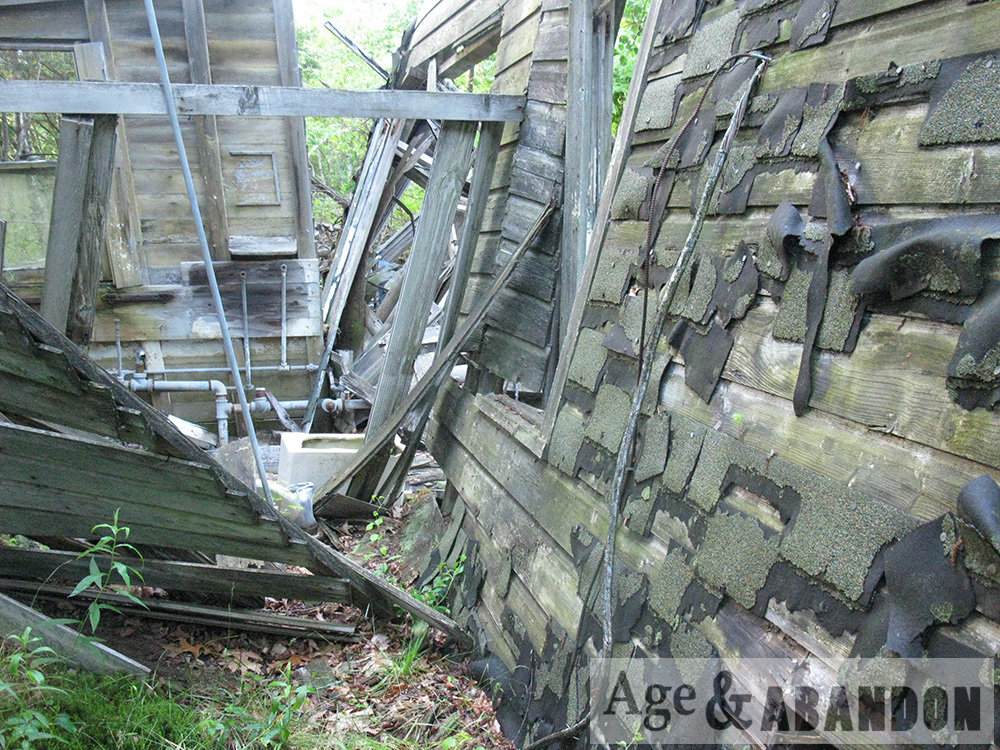
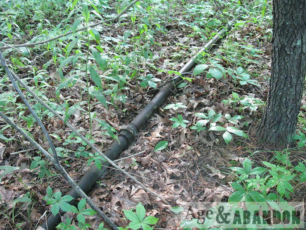
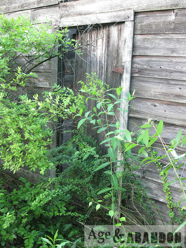
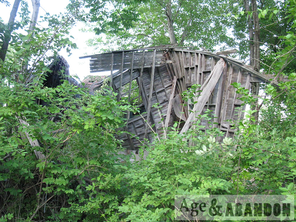
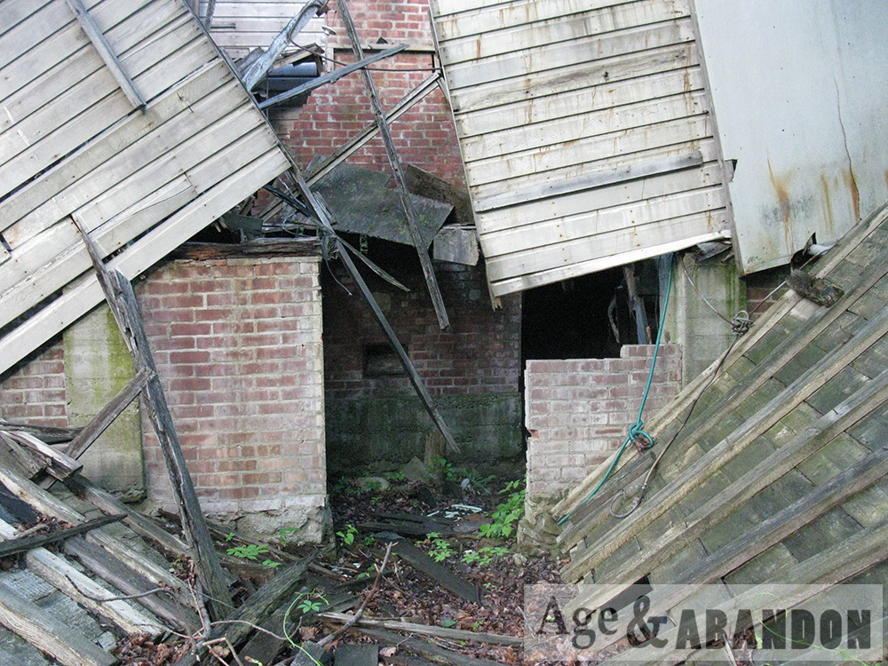
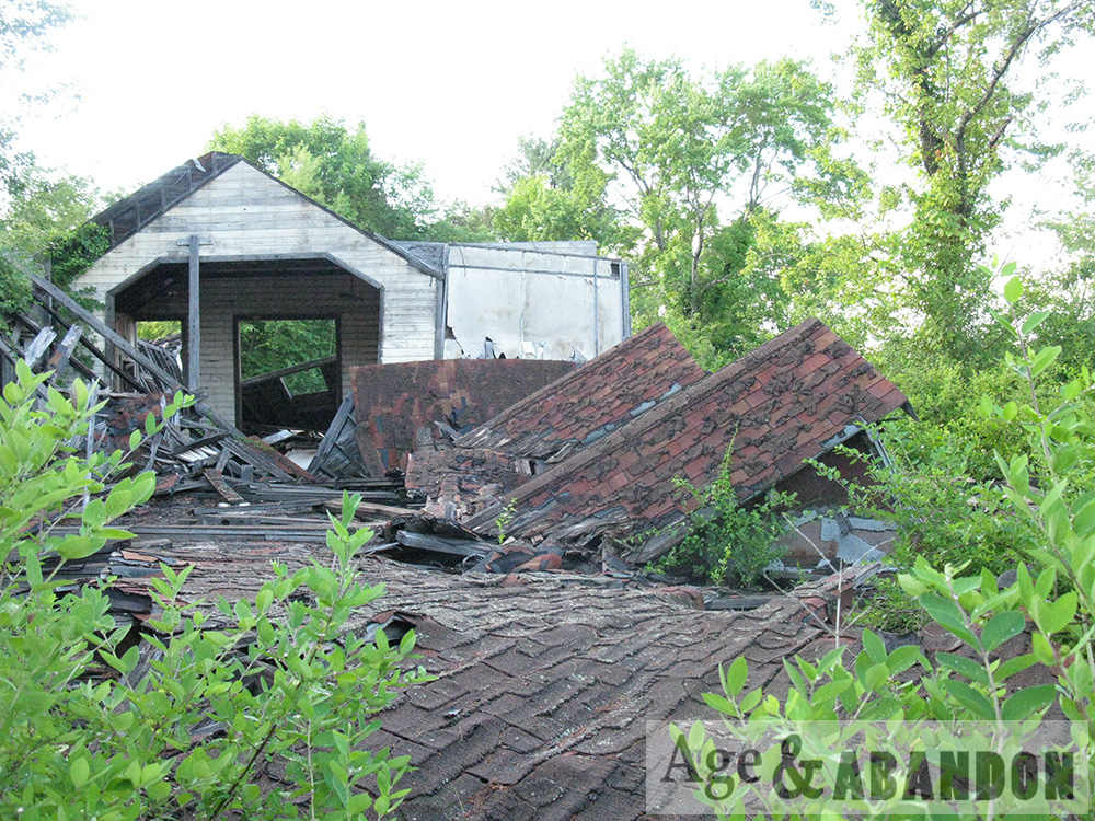
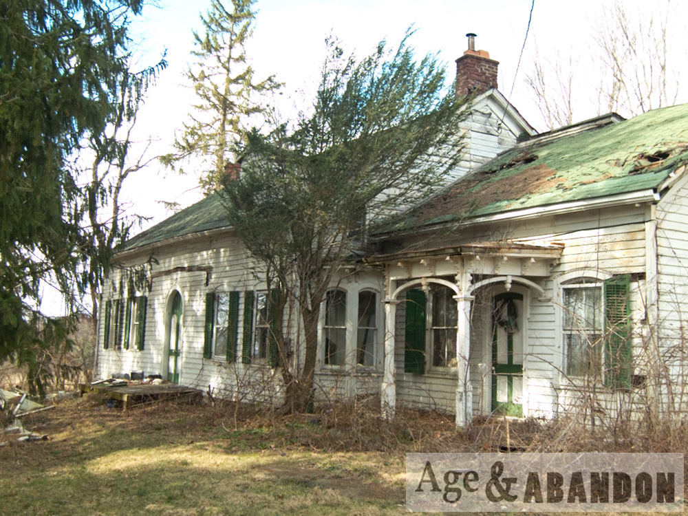
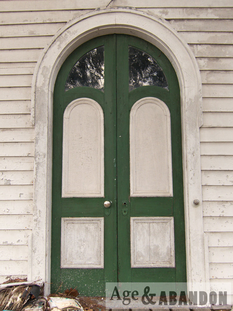
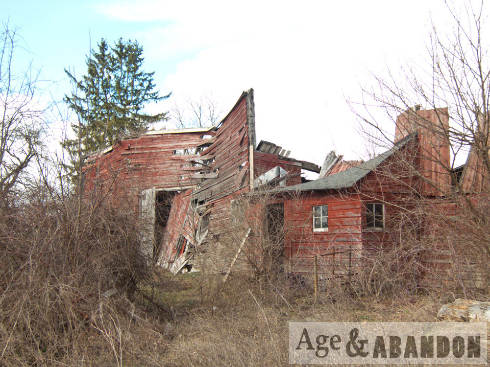
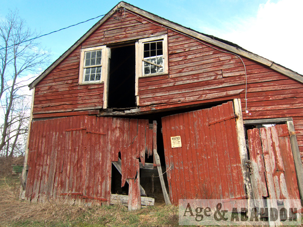
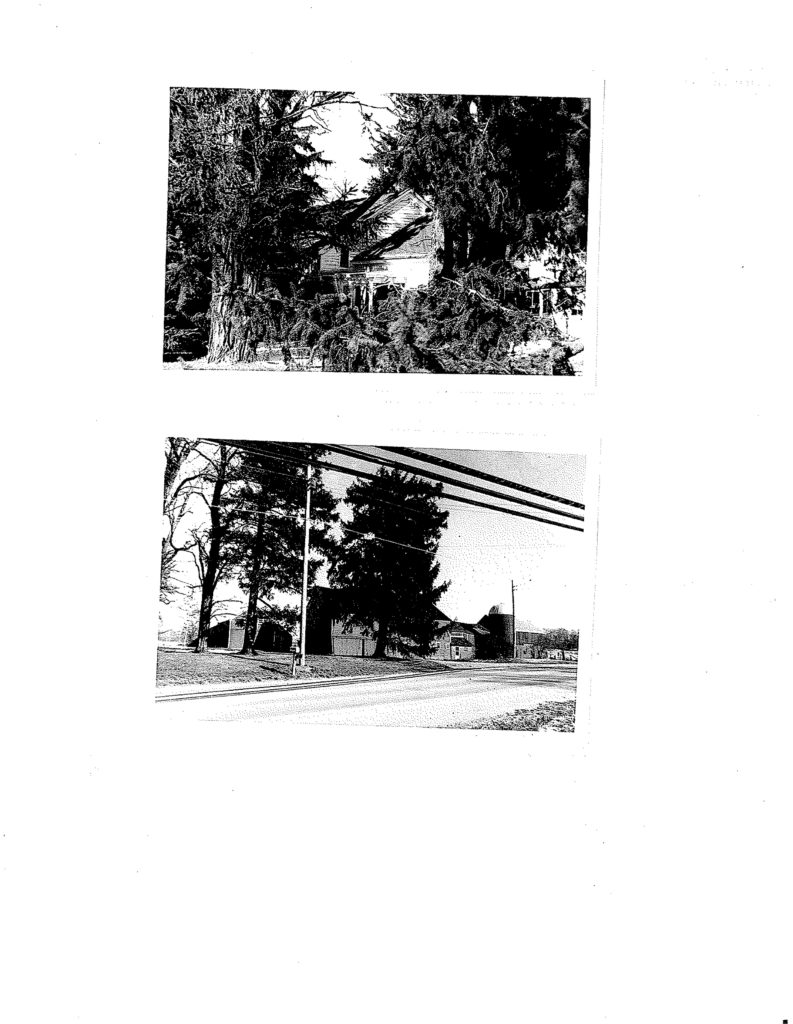
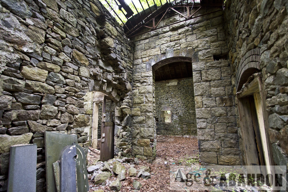
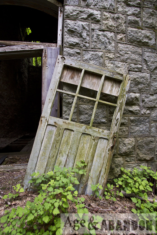
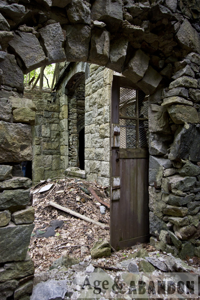
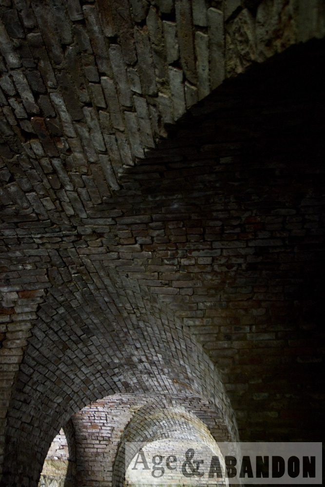
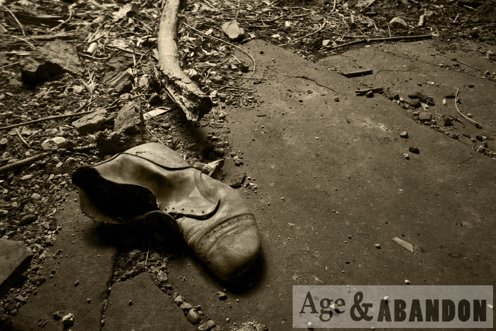
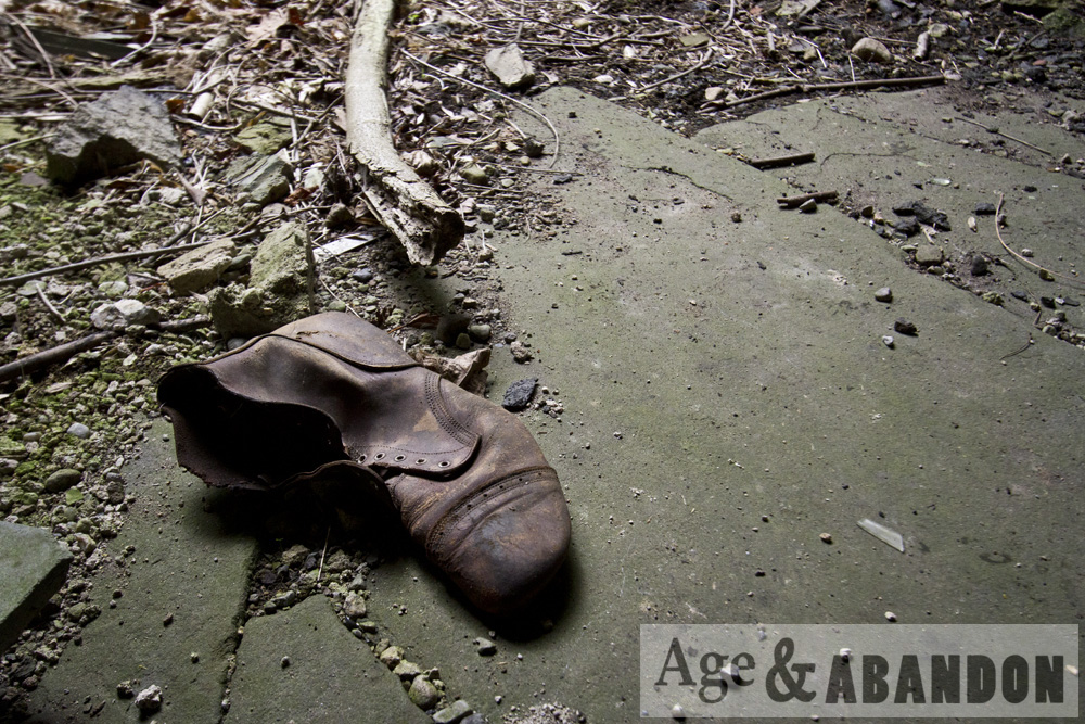
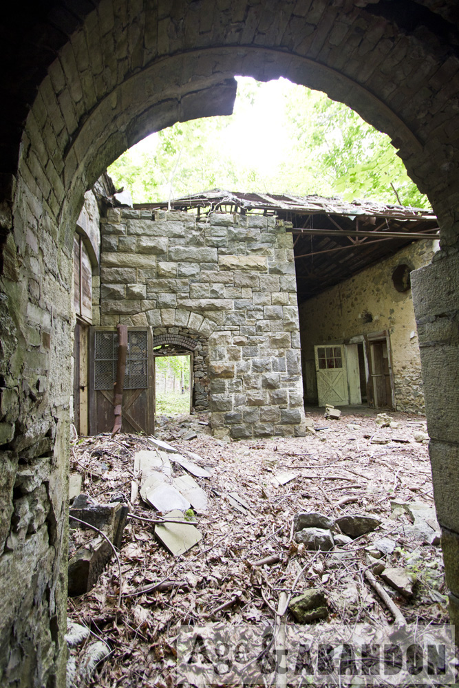
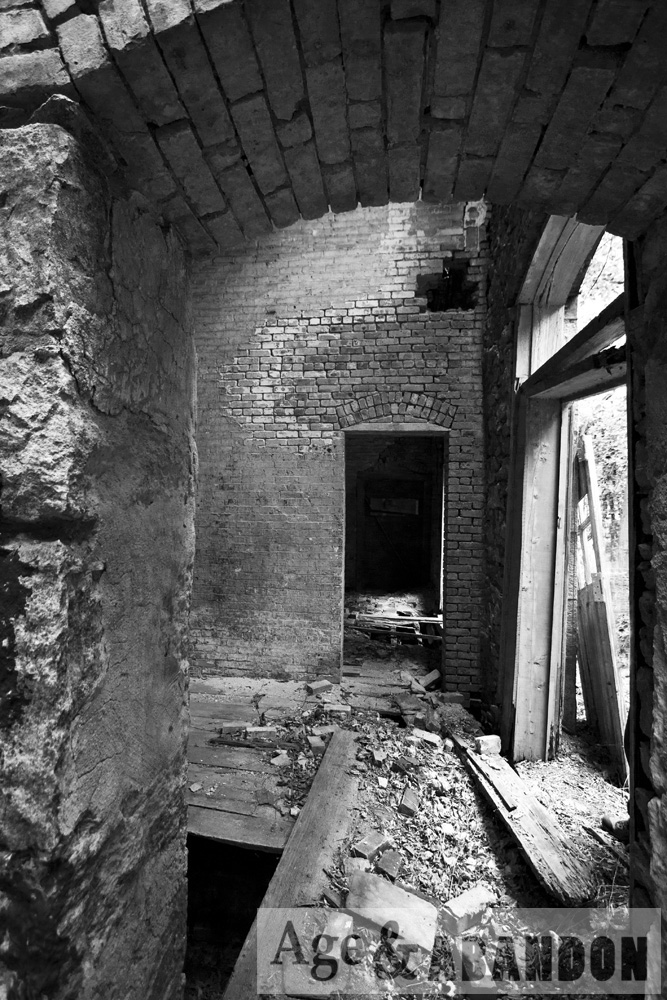
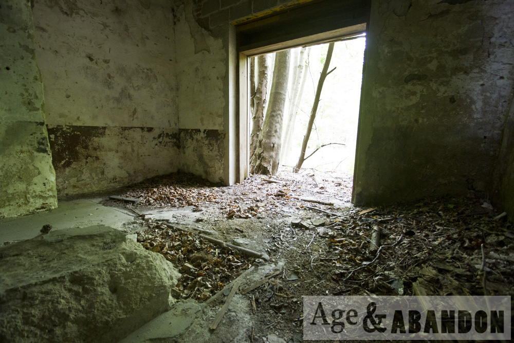
This beautiful gothic-style house is located on the east side of Route 9 at 3700 Albany Post Road in Hyde Park, NY (parcel #133200-6063-04-986483-0000).  The address was formerly known as 422 US Route 9.  When I photographed it in May 2018, the roof and house was mostly split in half.  Clearly the house had been unoccupied for some time.  The back lawn was littered with household debris, and the detached garage still contained many household items.  A wide and deep brick-lined hole in the ground was possibly an old water well. A previous owner must have had a green thumb, though, because some beautiful flowers, shrubs, and trees were located on the front and north sides of the house.

As far as the history of the house is concerned, the online property card claims the house was built in 1930 but, as described later, it was more likely built in the 1840s.  According to the paper copy of the property card, Howard & Alice Traver purchased the house in 1950 (deed book 745 page 393) from Ellen C. Roosevelt.  The deed indicates the property was a “portion of the premises of which John A. Roosevelt died seized [sic] on March 10, 1909, and which by the terms of his will he devisted [sic] to Grace W. R. Clark and Ellen C. Roosevelt”.  Gerald A. Traver purchased the house around April 29, 1997 (deed 1993-248).  The house was then owned by Dutchess County, when it was then sold to Munther Nishiewat (aka Munther Nesheiwat) around December 1, 2016 (deed 22016-08392).  On March 11, 2017, the property was sold to Four Seasons Deli & Groceries, Inc. as one of several disparate parcels in the sale.

In November 1986, the house was photographed and recorded as part of a Cultural Resource Survey Report of Route 9 prepared by SUNY at Albany, commissioned by NYSDOT in preparation of widening the road.  The house was in good condition at that time.  The house was determined to initially be constructed in the 1840s and show up on a map of Dutchess County from 1850.  It was described as “a largely unaltered gothic revival type residence, as evidenced by such elements as finials and pendants on the gables and dormers, and by the pointed hoods on the second floor windows.”  The area was described as “an area of open woodland except for a Hess gas station immediately to the south.”  Also, it was “one of a small handful of 19th century farm homesteads that typify the farming economy of this area during that period.”

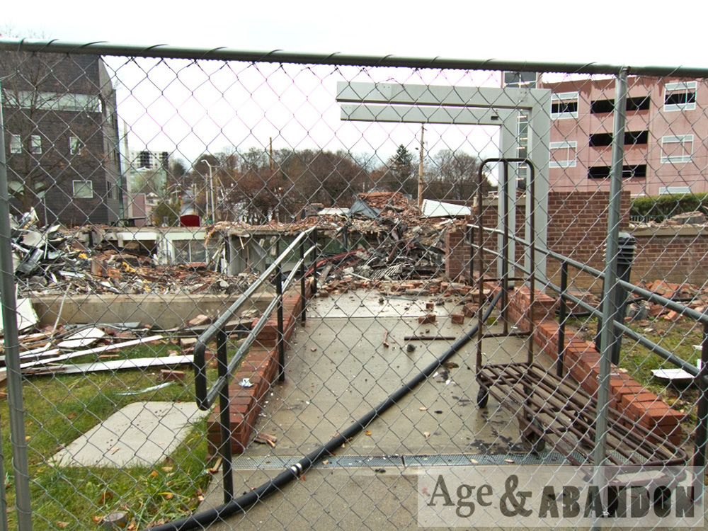
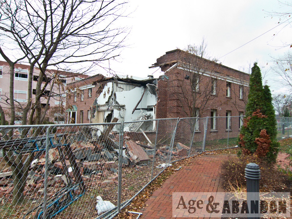
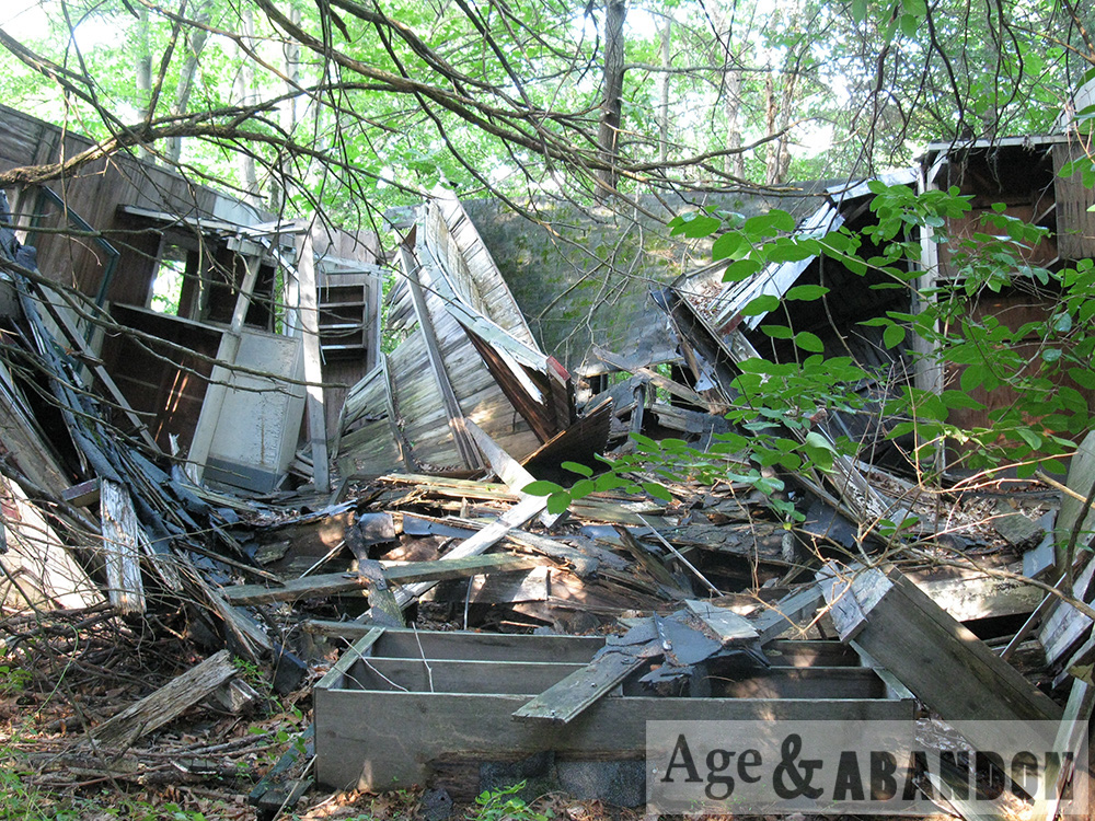
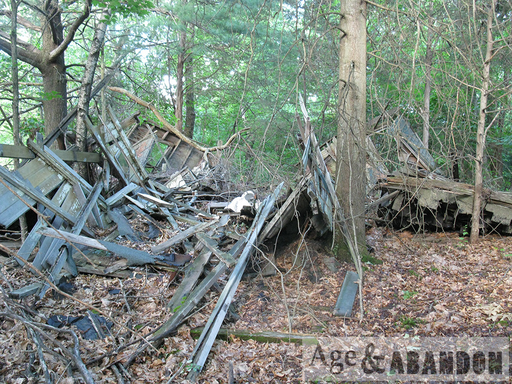
When I passed the house in September 2018, I saw that the house had been demolished.  I guess I photographed it just in time.  The detached garage was still present.  I do not know the future of the property.

Location:  Google Maps (41.741946, -73.930529)

Johnson House, Fishkill, NY

Located at the intersection of Main Street and Jackson Street (1020-1022 Main Street) in the Village of Fishkill, the Johnson House was demolished in 2012 and the site rebuilt with a new structure resembling the old one (Rhinebeck Bank).  It is a shame that the old building was demolished; the building was part of the village historic district.

The photos of the old house were taken in 2011 and the new building photos were taken in 2013 and include a photo of the plaque on the building.  The plaque states, “This building is a 2012 rebuild of a farmhouse originally built in the late 1800s that was occupied by Dr. E. Kingsland Johnson and his father.  The Johnson Family contributed to the health and welfare of the community of the Village of Fishkill for more than 50 years.”

Location:  Google Maps (41.533369, -73.905114)

Former IBM Buildings, Poughkeepsie, NY

These two very long buildings were located on South Road/Route 9 and Neptune Road in Poughkeepsie.  I was told these were formerly IBM buildings.  Based on aerial photos, they were built some time between 1955 and 1970.  The buildings were demolished in 2012 and the site was redeveloped to include several restaurants.

Location:  Google Maps (41.644255, -73.923512)

More information:  Historic Aerial Photos (see 2009 versus 2016)

Goring Hall, Wappingers Falls, NY

This building was located at 5-7 East Main Street in the downtown Village of Wappingers Falls.  The building had a partial collapse on November 22, 2012.  The entire building was demolished the following month.  These are photos after the initial collapse and also during demolition.

According to the Building Inventory Form completed in 1979, the building was built circa 1872 and its history is as follows:  “Goring Hall was upstairs in this building, where various organizations met including the Red Men.  It was also the Village meeting hall at one time.  The downstairs housed a drug store at one time and was also the Post Office.”

More information:  Building Inventory Form (USN 02744.000050)

Location:  Google Maps (41.598630, -73.919394)

Sleight Farm Property, LaGrange, NY

This abandoned farm property is located at 619 Noxon Road in LaGrange.  These buildings are part of a >100 acre farm parcel.  I photographed the house, carriage house, and silo foundation, based on the sketch in the building inventory (mentioned below).  As of 2017 the property may have been sold (it was for sale) because some construction is occurring on the property – namely, the carriage house photographed here has been demolished.

According to the Historic Resource Survey from 1986, the structures on the property date to late 1700s, early 1800s, and middle 1800s, with some outbuilding from the middle-to-late 1800s and early 1900s.

At the October 23, 2013 meeting of the Town of LaGrange Board, a Forest Stewardship Management Plan was submitted to allow for selective cutting of about two acres of trees outside of the restricted areas of the Conservation Easement on the property.  The application was to “cut firewood on the property”, “maintain field edges and fields for crop production”, “keep current farm trails open for access”, “transplant and/or transfer planted conifers”, and “crop tree management for possible future sawtimber production”.  The property was identified as Sleight Farm and owned by the Sleight family.

At the August 18, 2016 meeting of the Town of LaGrange Board, there was an application discussed for a special use permit of the property as the Gray (Vale?) Fox Distillery.  The proposal was to construct the distillery building in the “upper part” of the property.

Location:  Google Maps (41.650374, -73.827479)

Greystone Psychiatric Hospital, Parsippany, NJ

These are photos taken during a tour of the Greystone property lead by the Roebling Chapter of the Society for Industrial Archaeology.  The tour included around some of the main building, various outbuildings, and the former gas plant.  Unfortunately, the main building and surrounding buildings have since been torn down (October 2015).

Location:  GoogleMaps


Central Hudson, Poughkeepsie, NY

These are before and after photos after demolition occurred of gas storage structures on the Central Hudson property along the Hudson River in Poughkeepsie, NY. The first two photos show the site in 2012, and the third photo shows the site in 2015. This is the area bordered on the north by Dutchess Avenue and on the east by North Water Street.

Location: Google Map

Jackson House, Fishkill, NY

The Jackson House was located at the southwest quadrant of the intersection of Main Street and Jackson Street in Fishkill, NY. The house was a nineteenth century home of Dutchess County Judge Joseph I. Jackson and part of the Village of Fishkill National Register Historic District. For a time the building served as an office for Mid-Hudson Medical Group (I remember going to it as a child!).  I have included in the gallery a scan of a brochure for the medical group, dating to the late 1980s or 1990s, depicting the Jackson House as the logo for the group.

A rear addition to the building was demolished some time between 2011 and 2013, and then the rest of the historic structure was demolished in December 2013. These pictures depict the house in March 2011, March 2013, and then its demolition.

Location: Google Map