Piano Factory, Poughkeepsie, NY

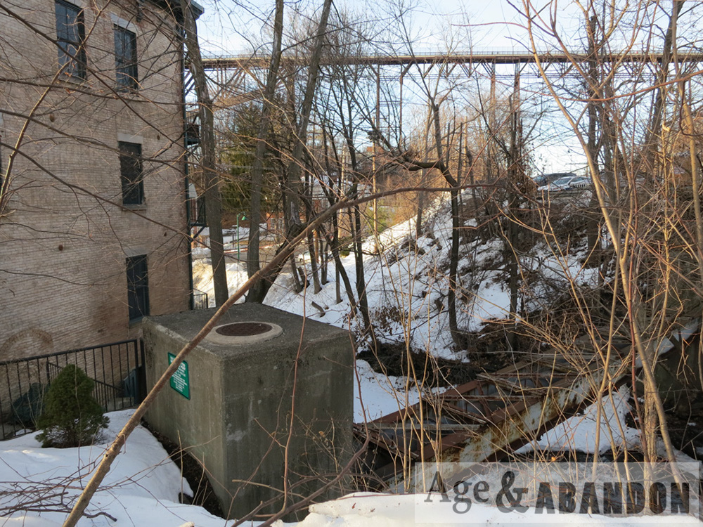
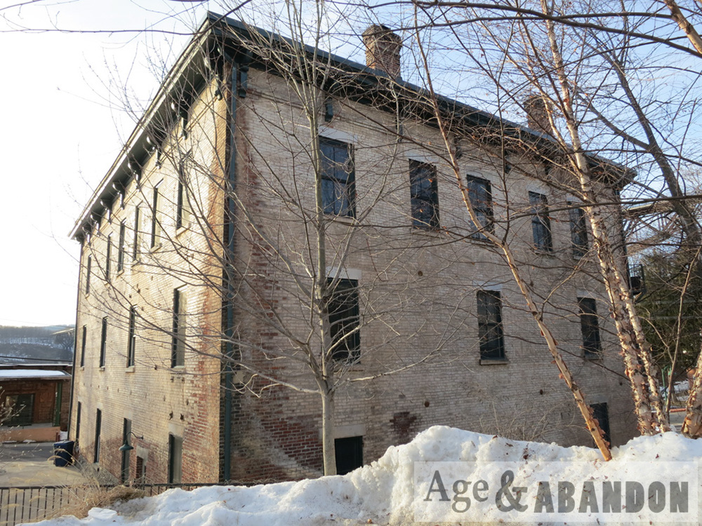
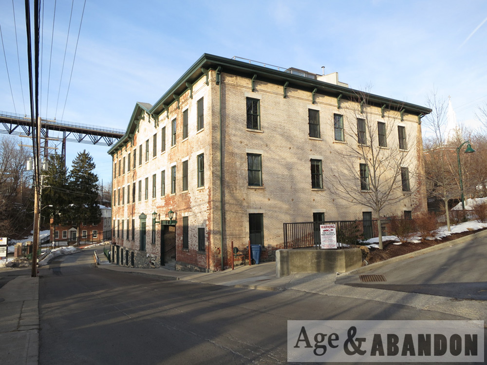
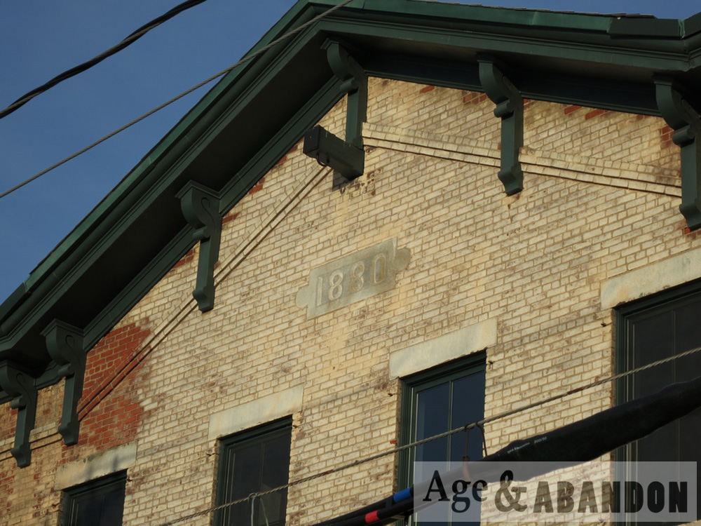
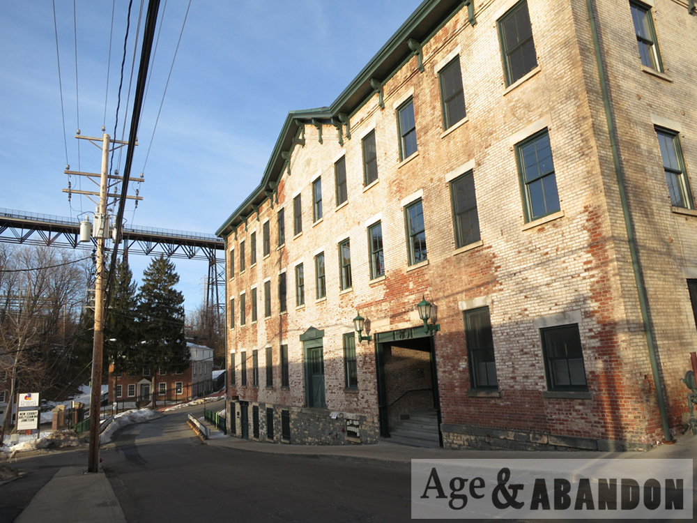
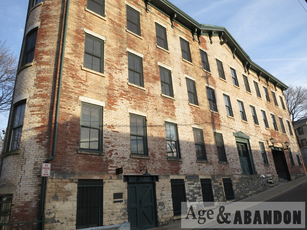
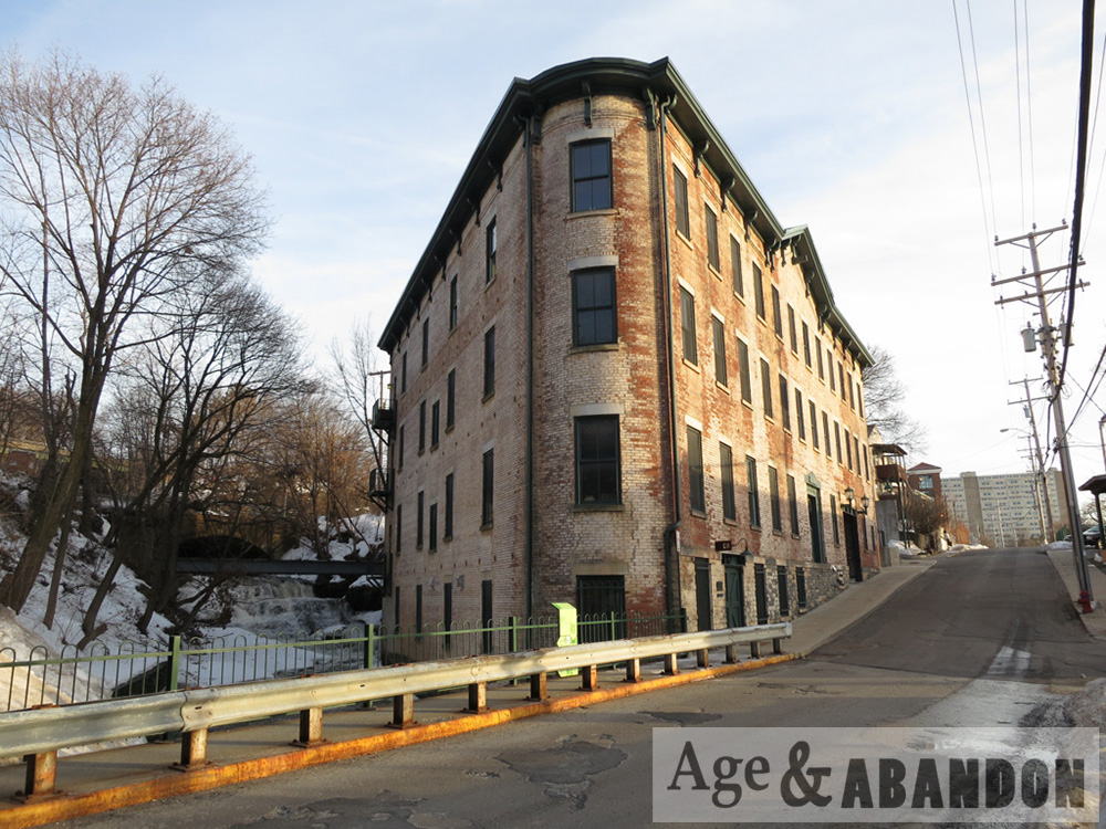
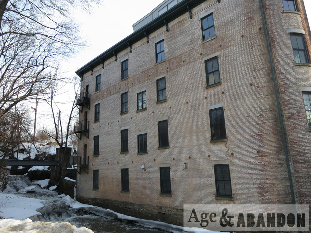
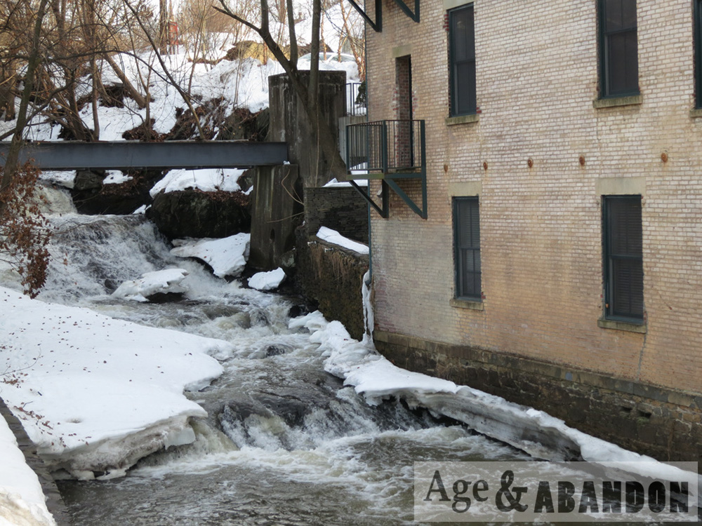
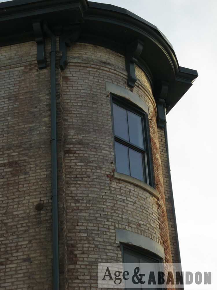
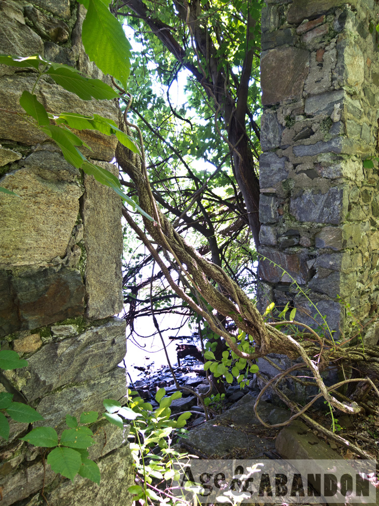
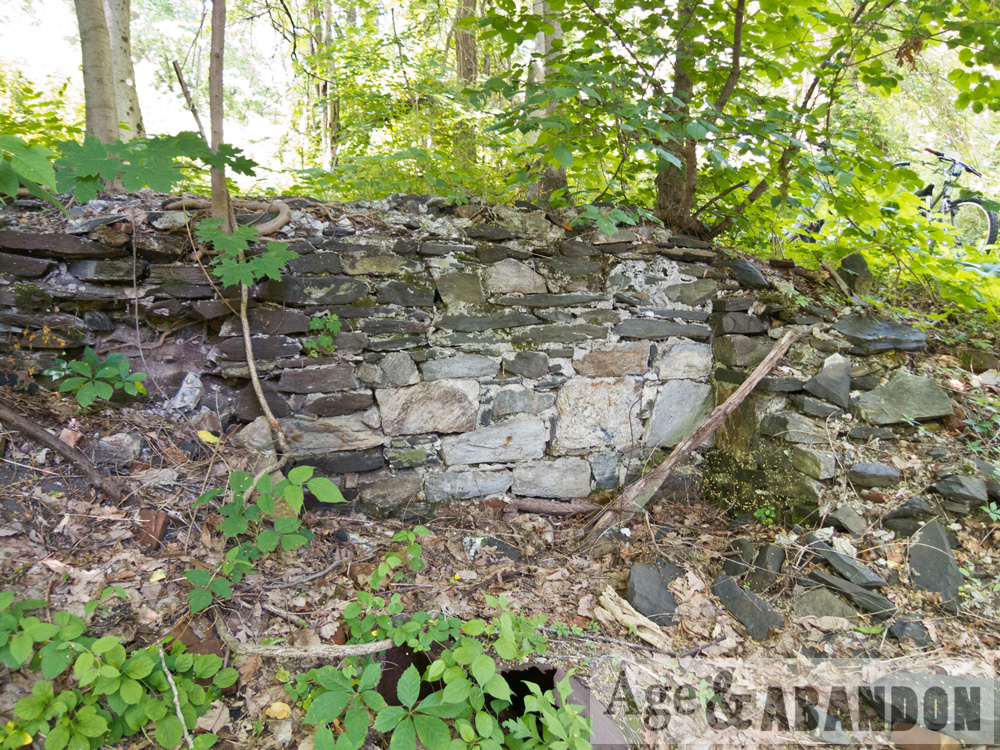
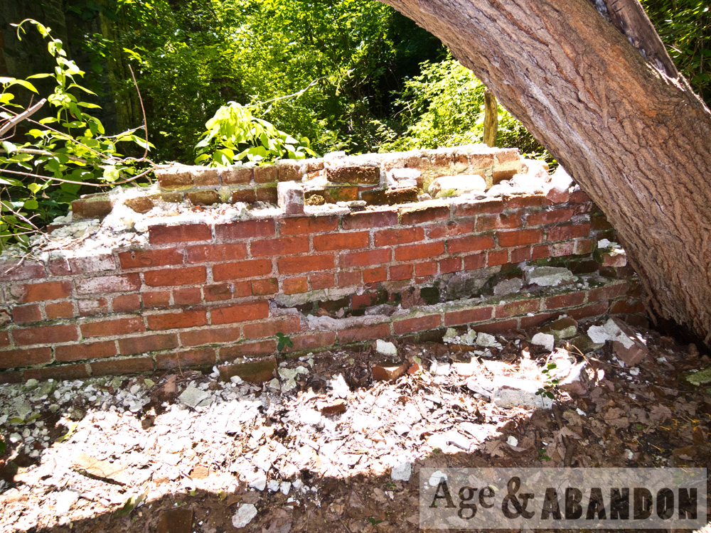
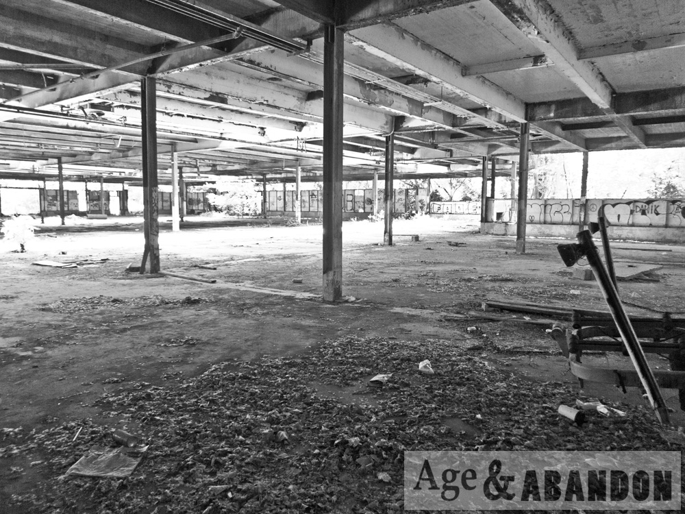
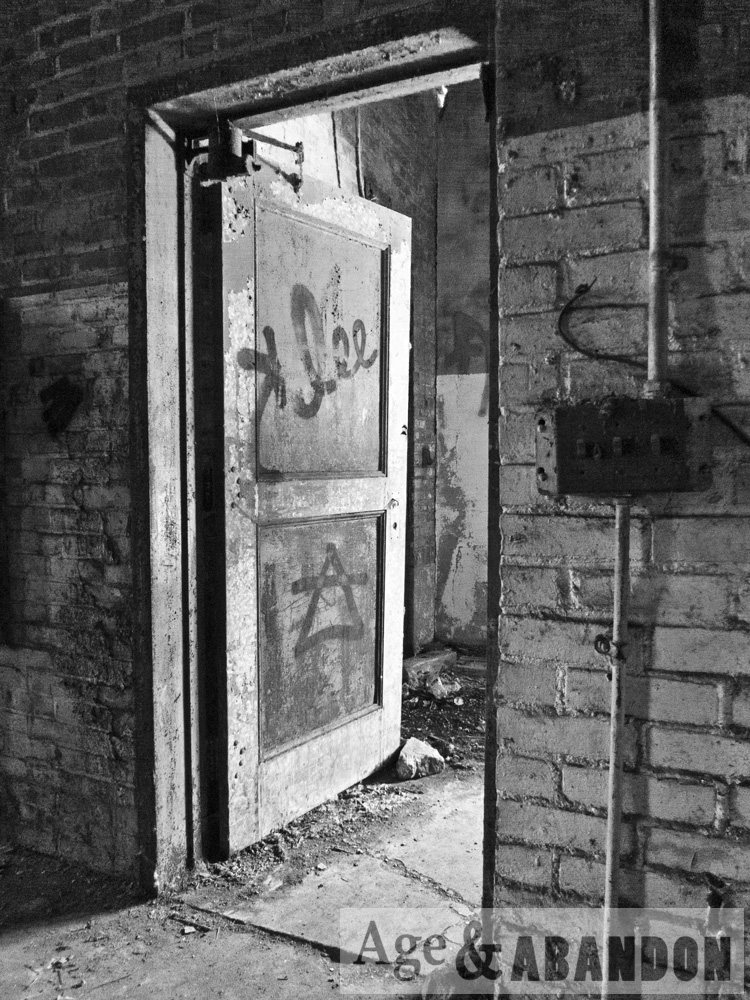
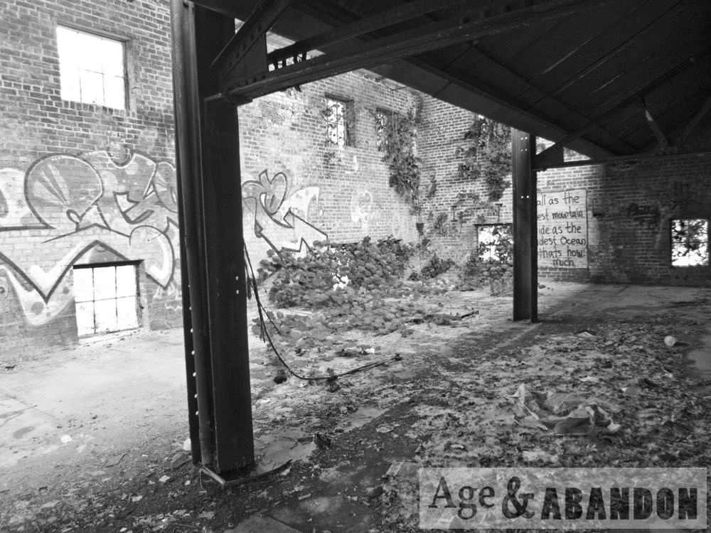
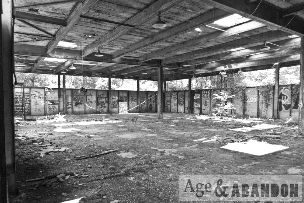
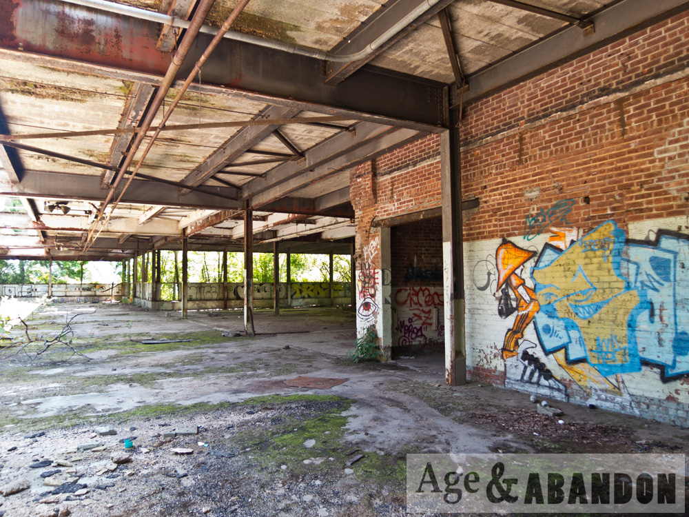
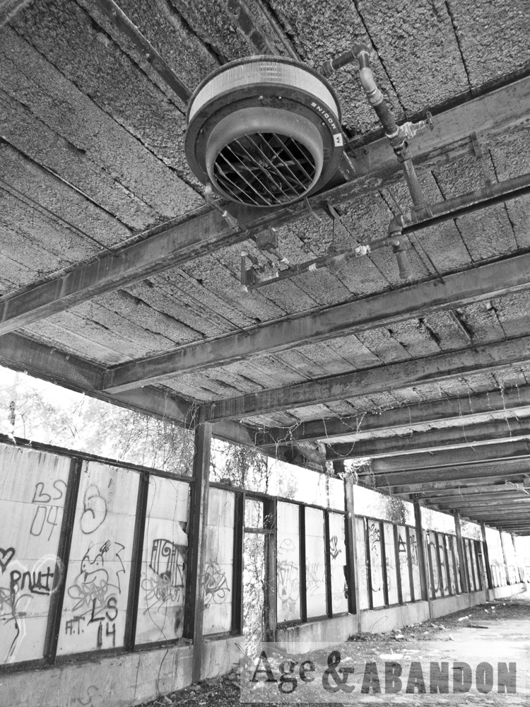
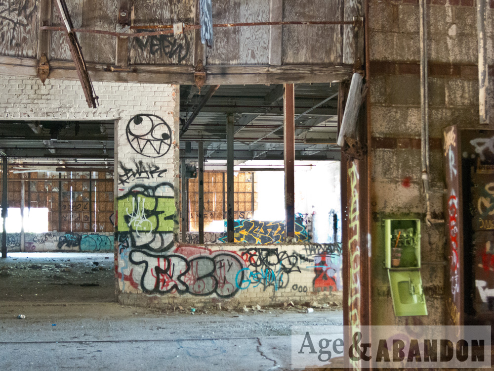
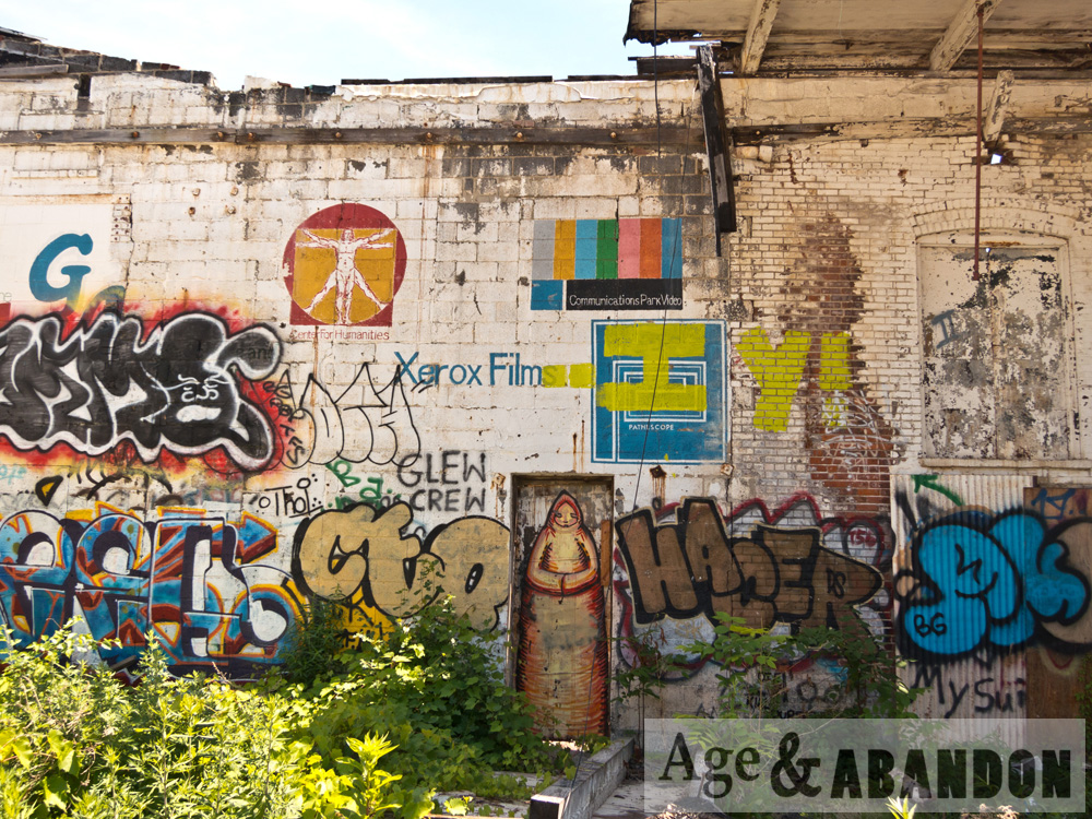
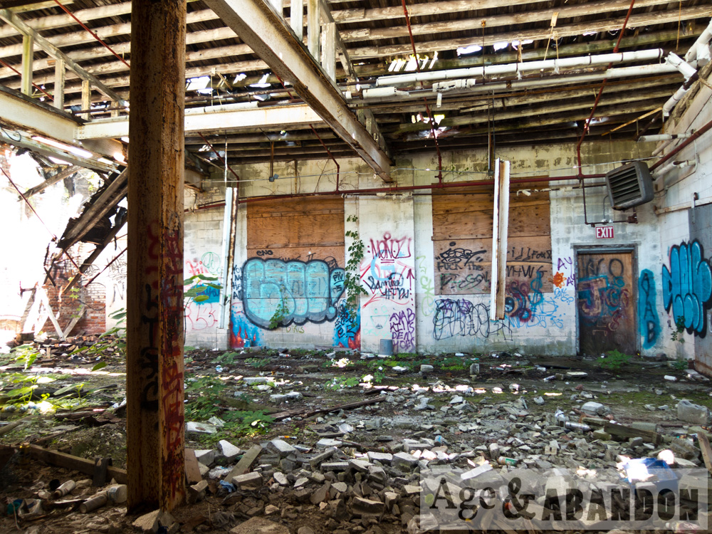
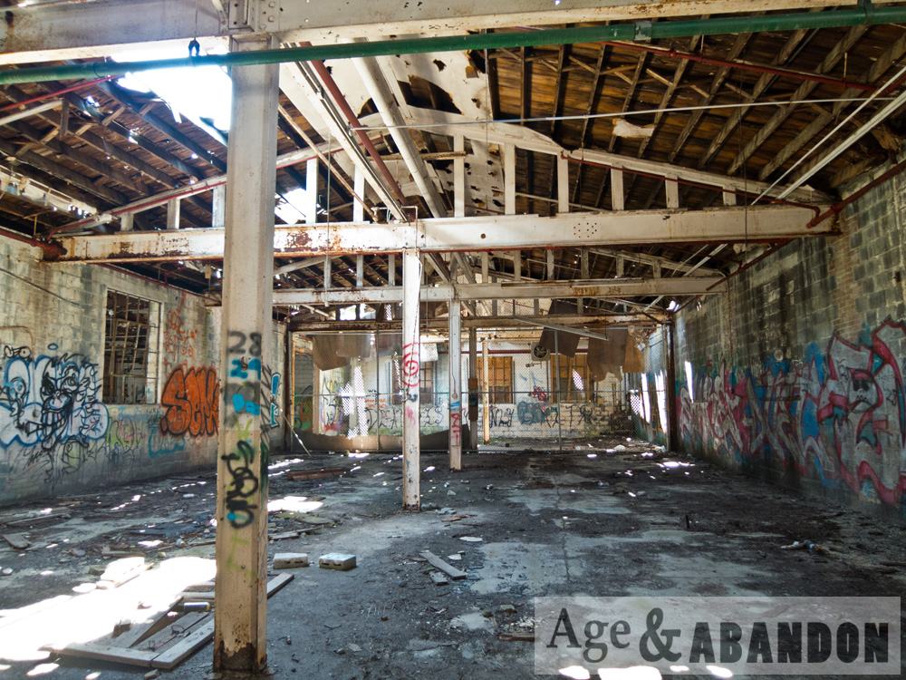
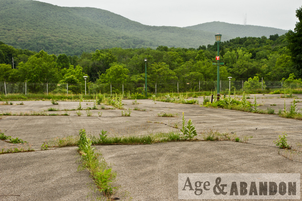
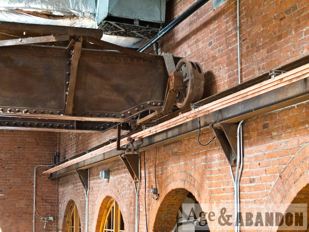
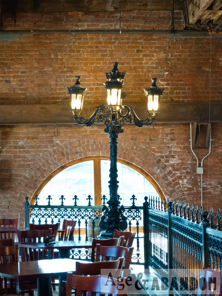
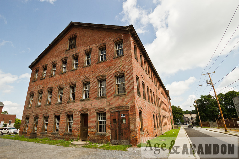
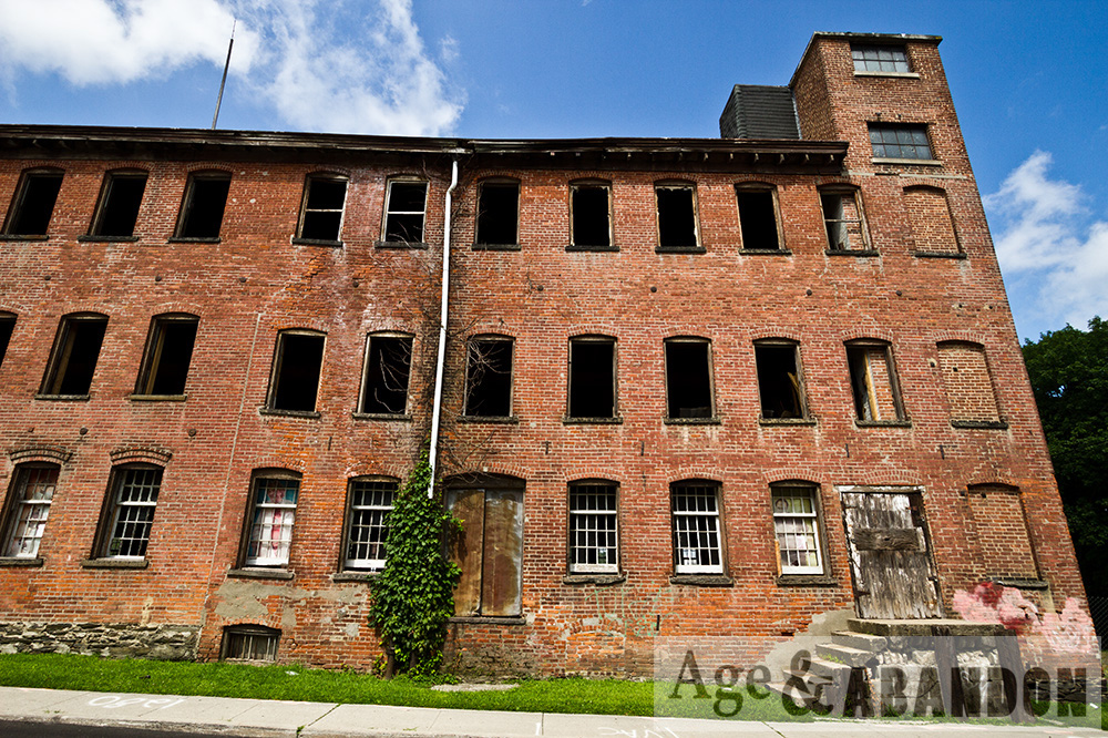
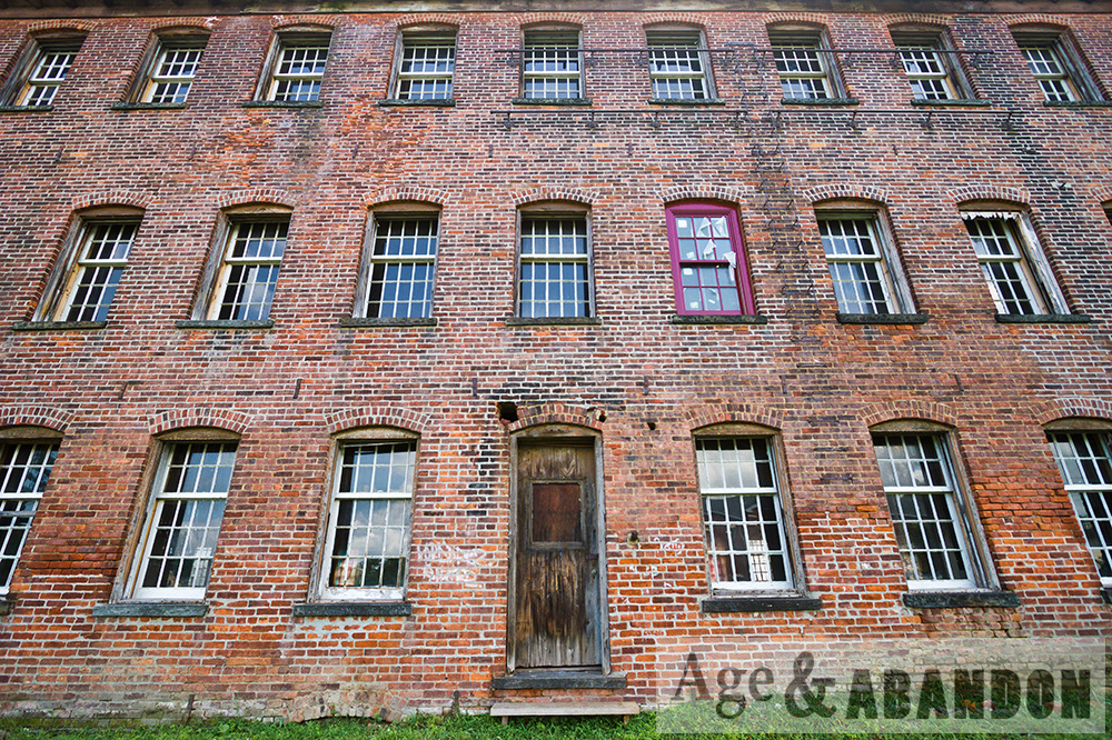
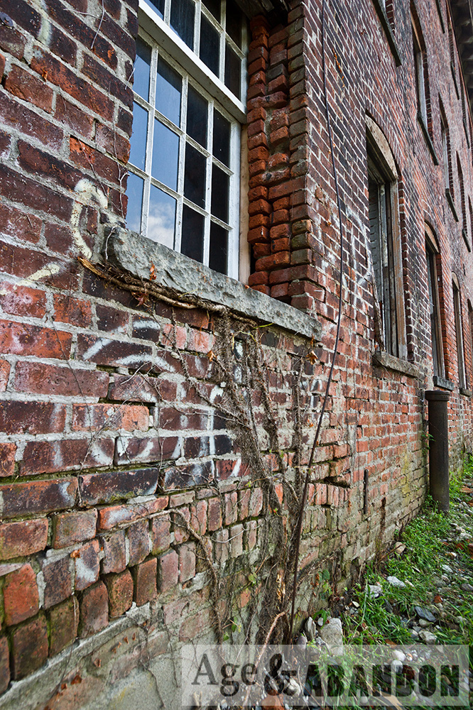
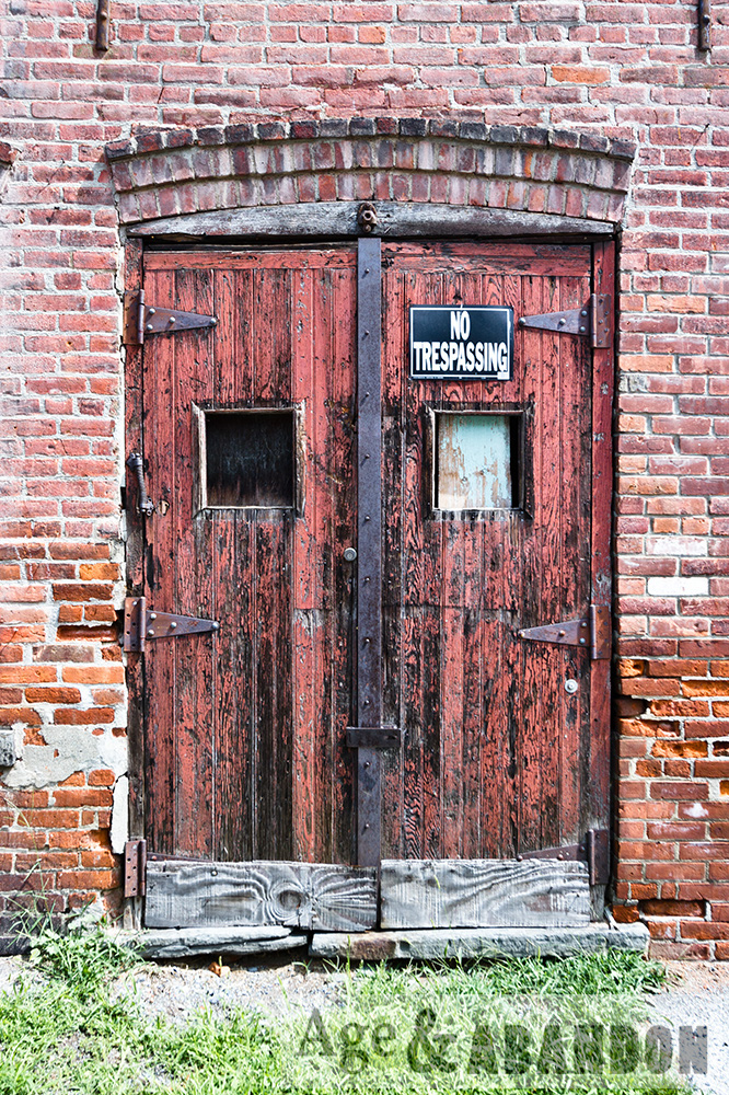
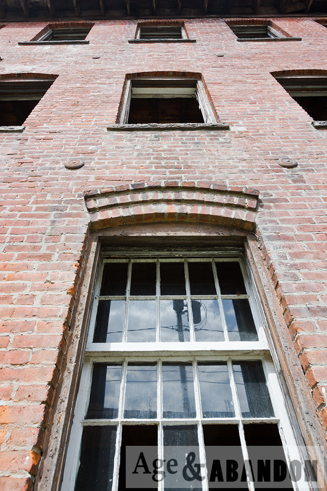
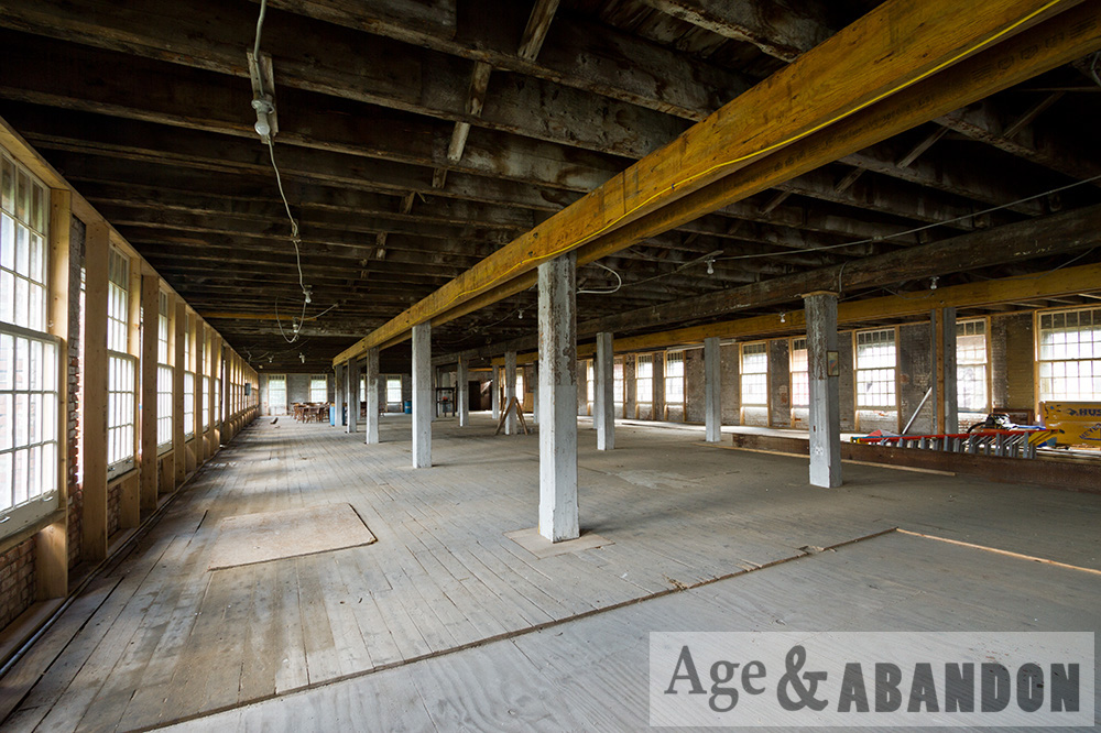
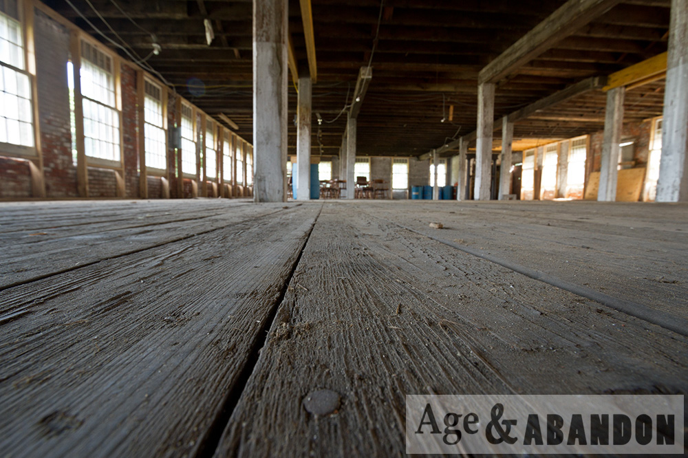
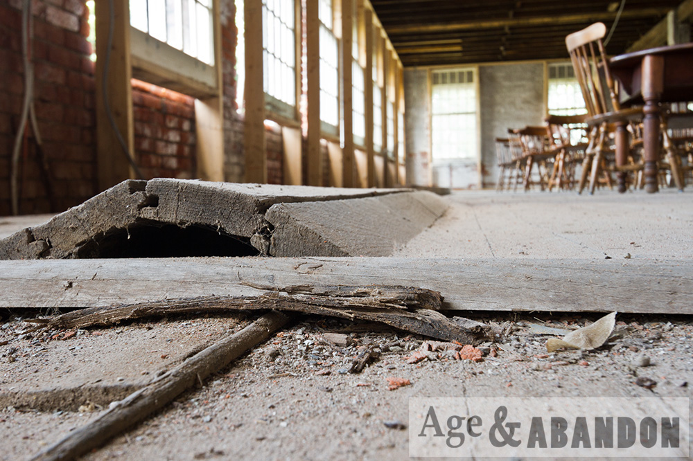
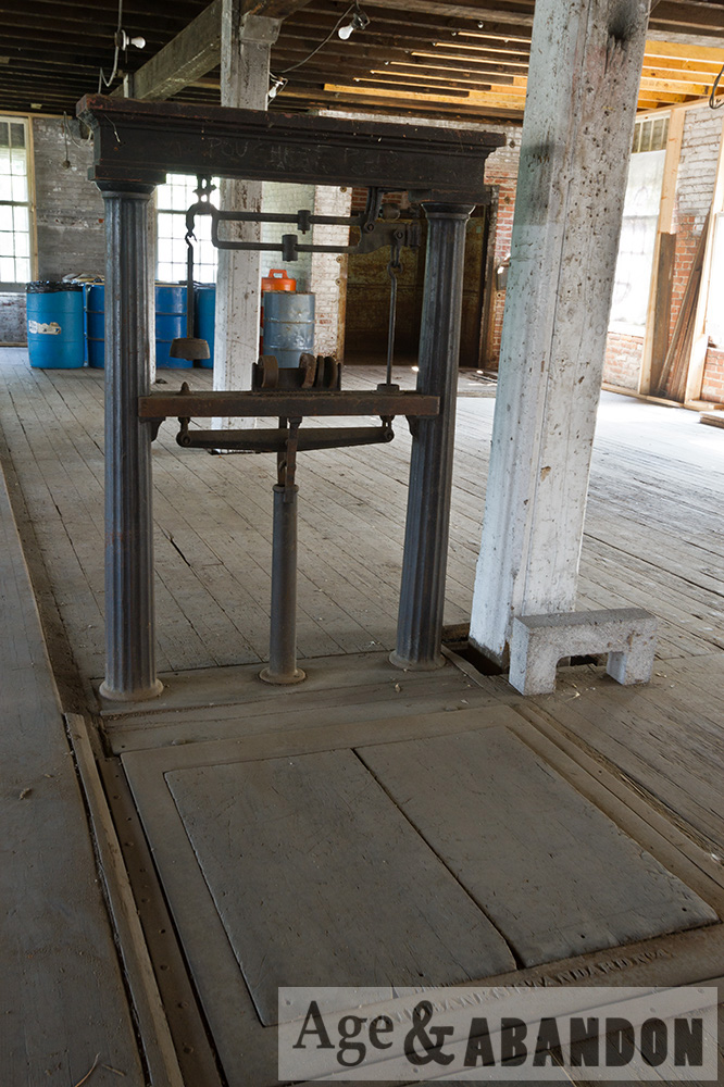
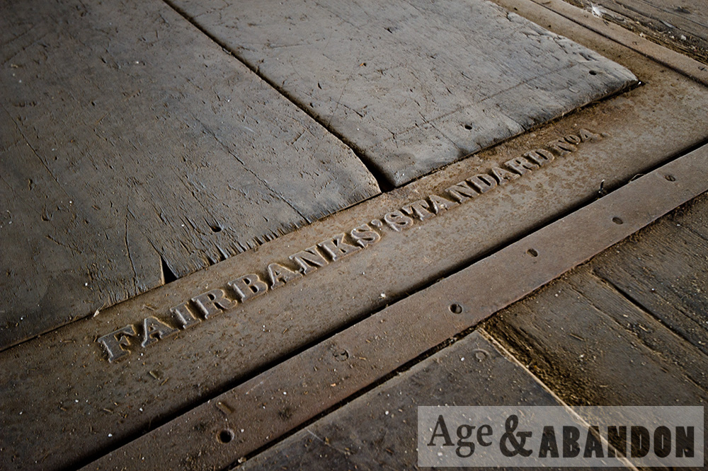
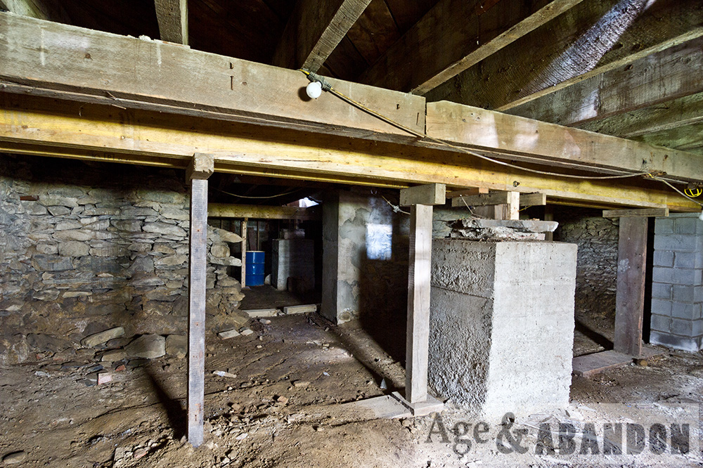
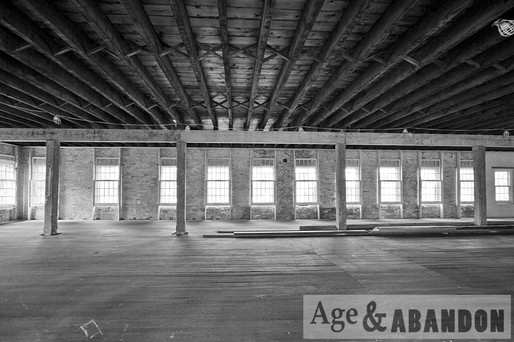
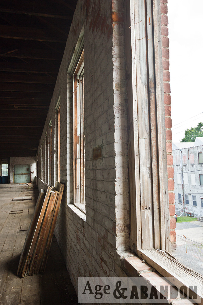
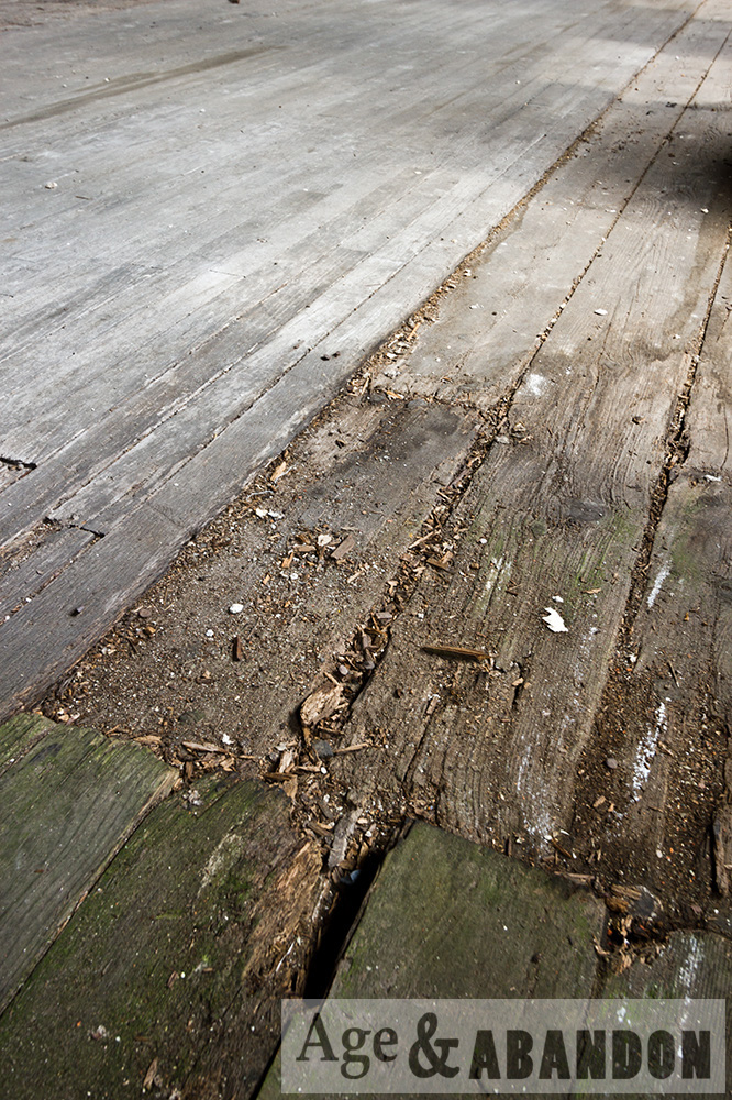
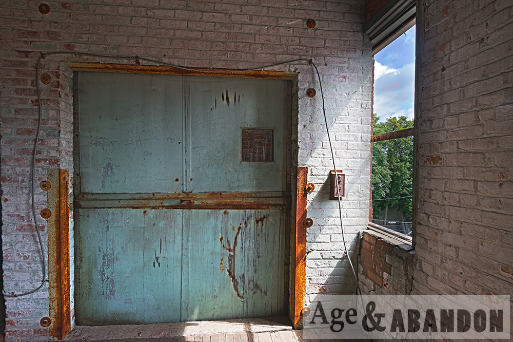
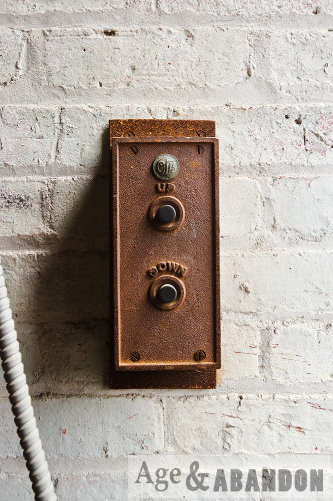
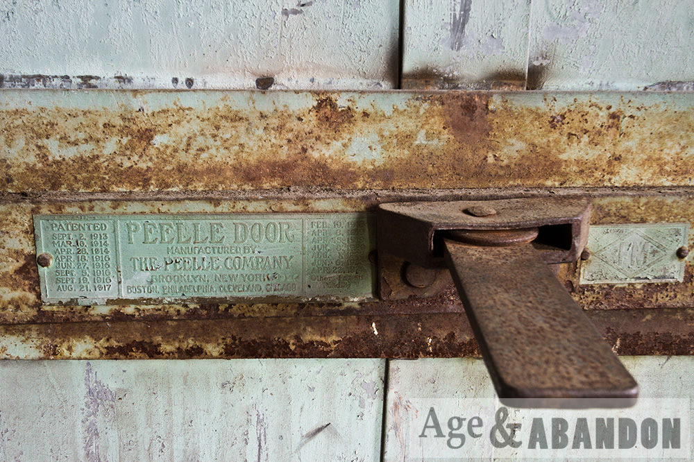
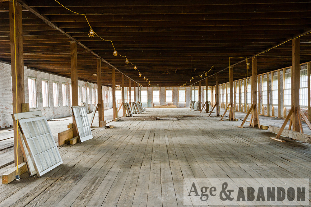
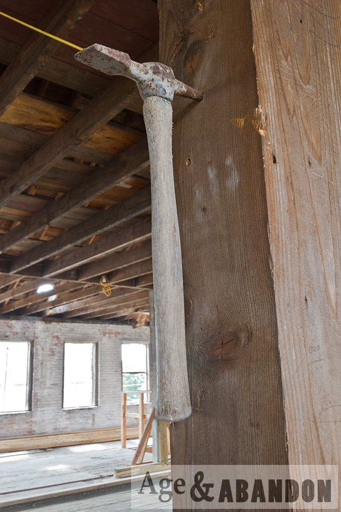
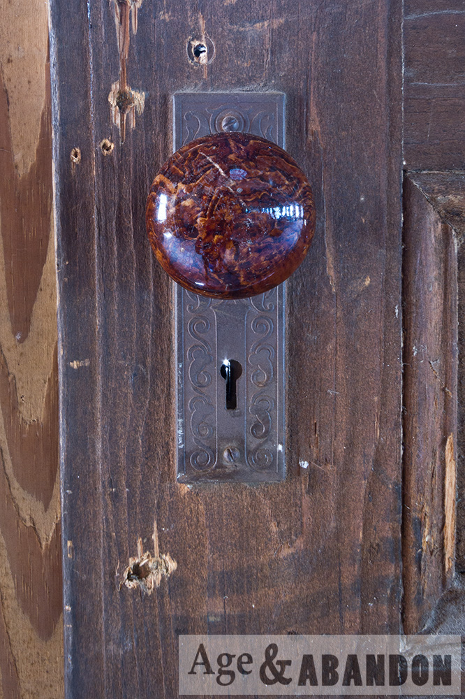
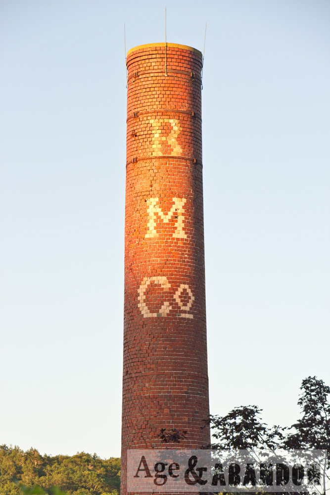
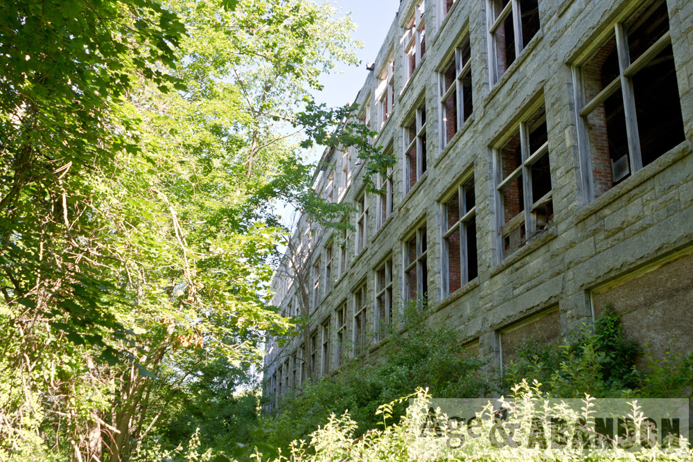
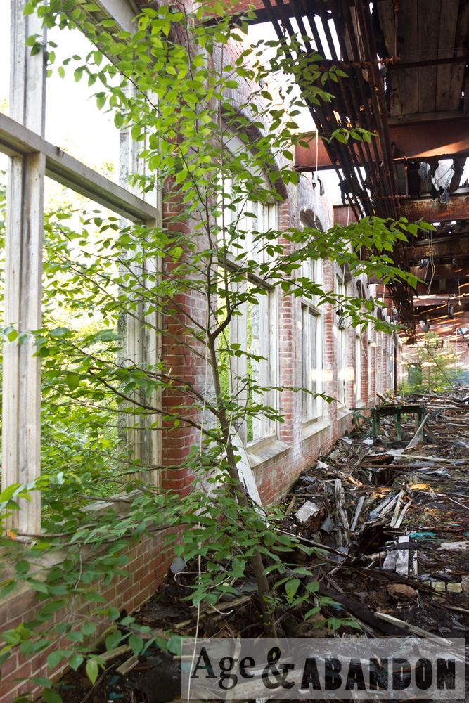
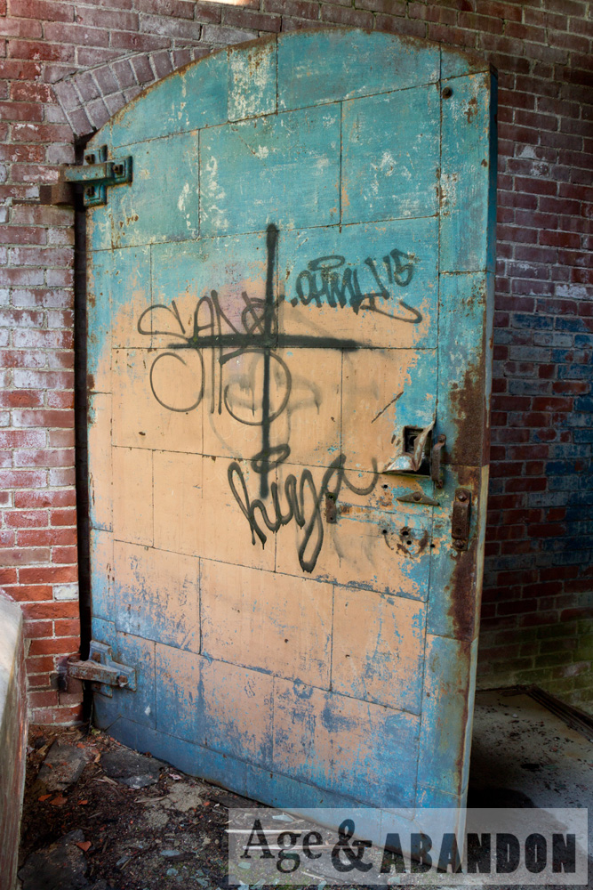
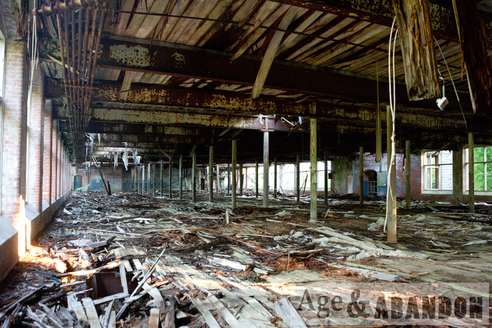
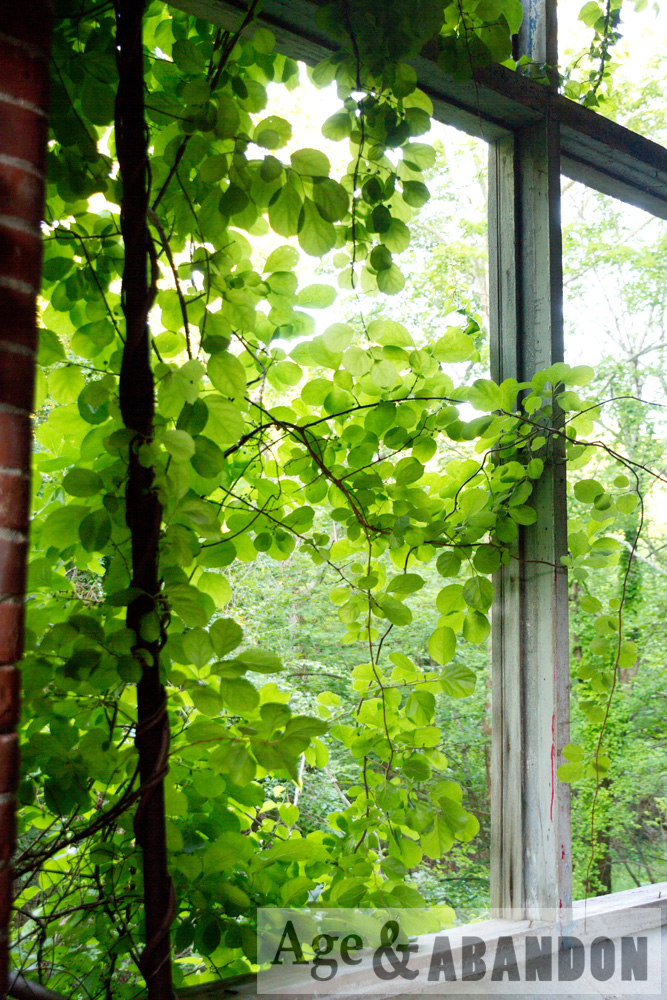
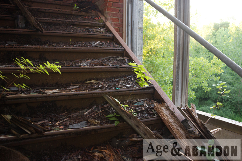
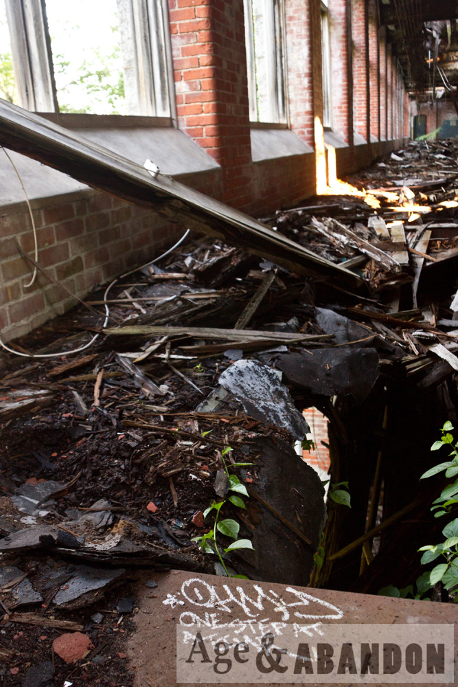
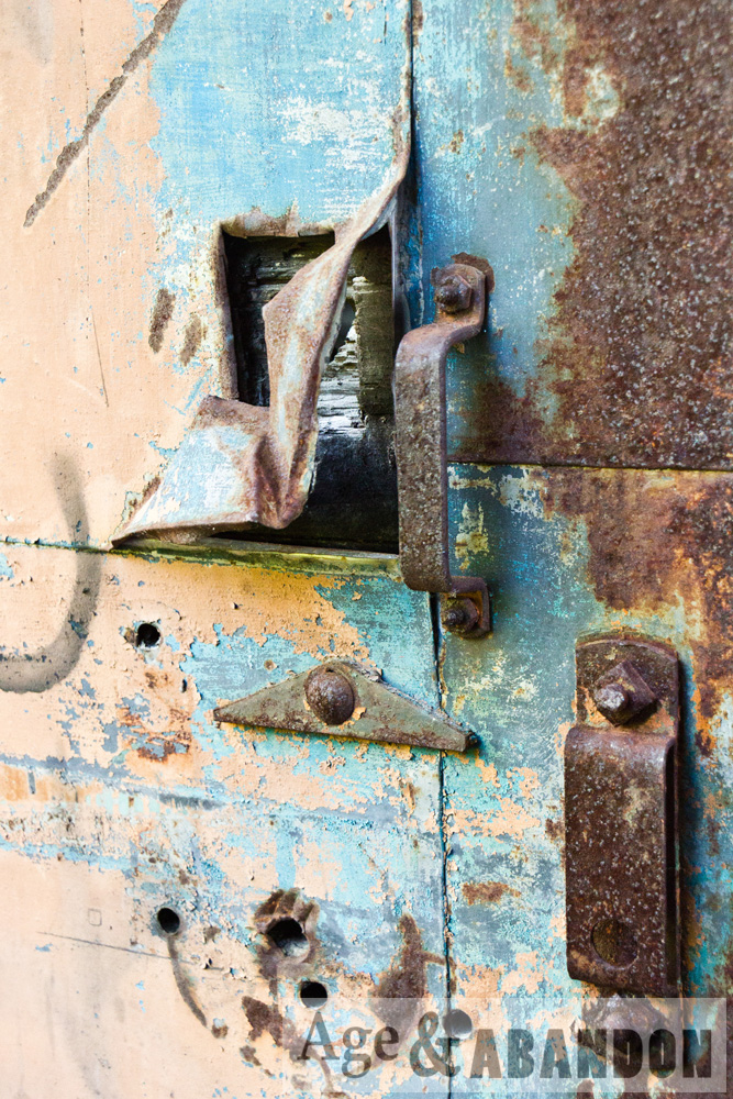
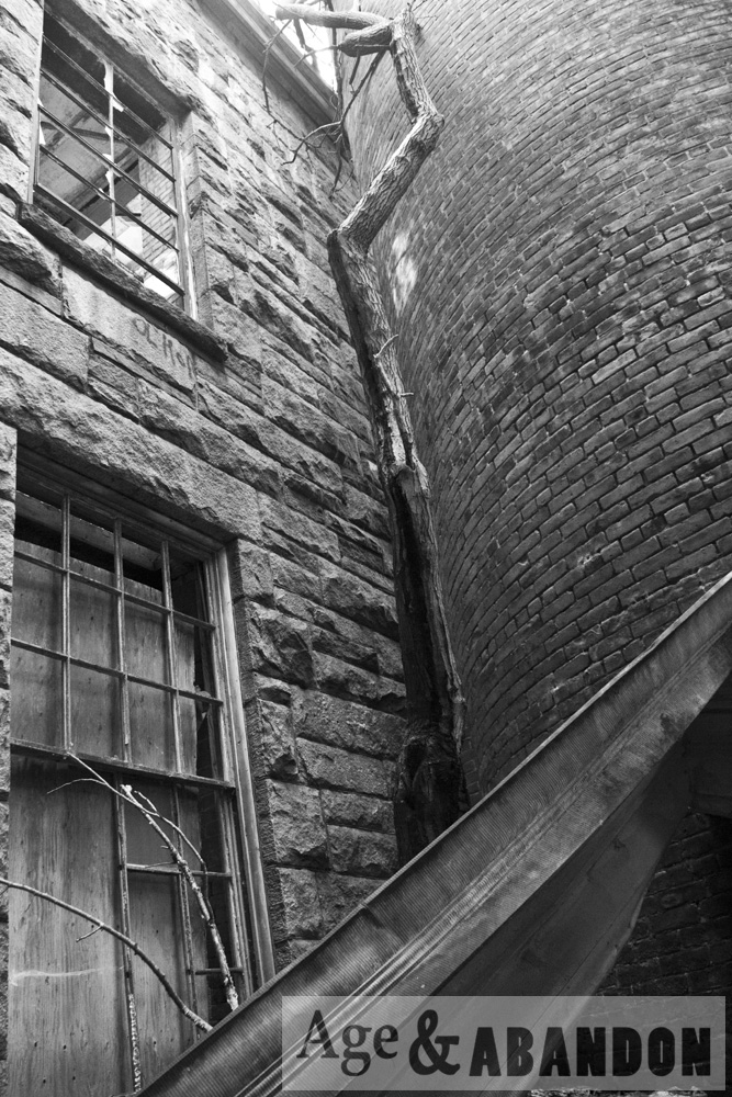
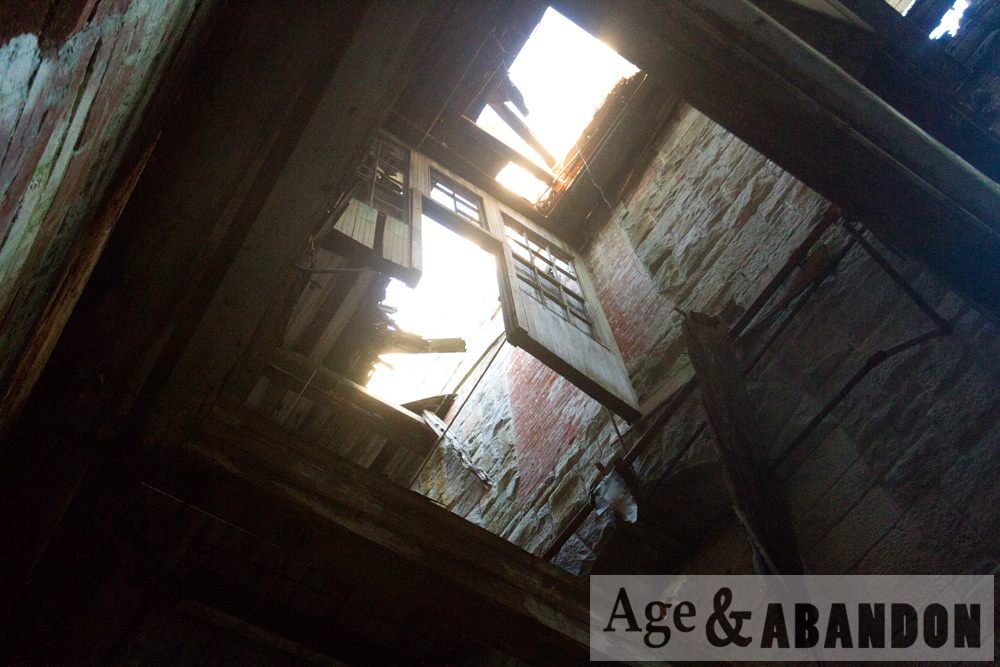
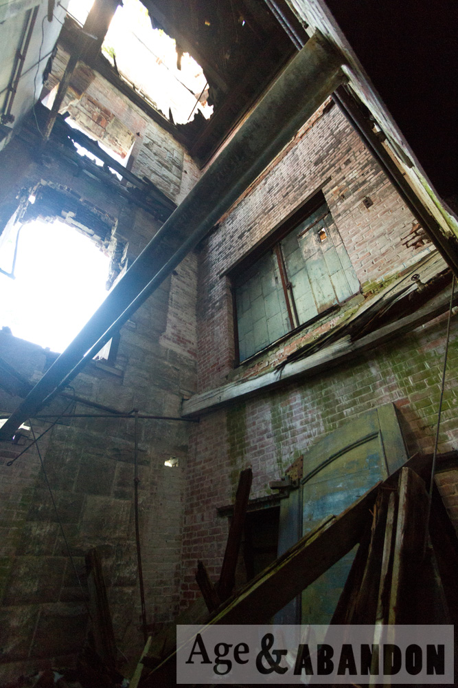
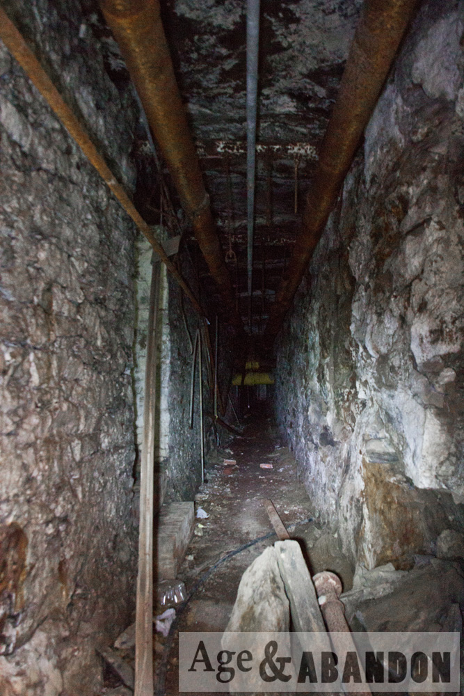
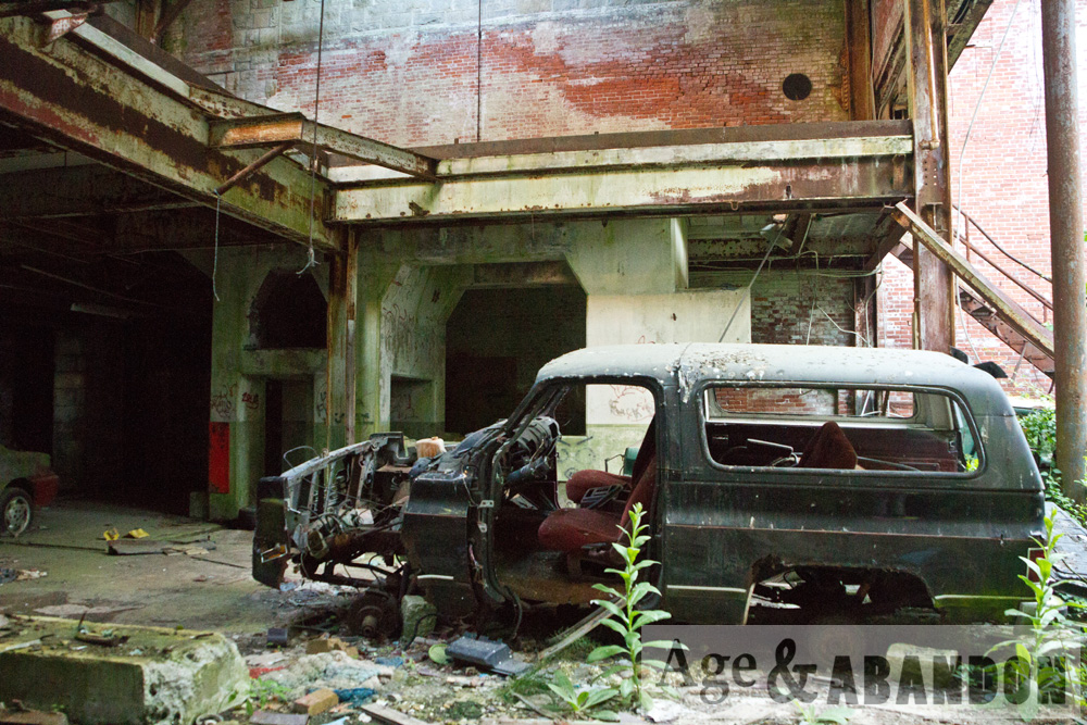
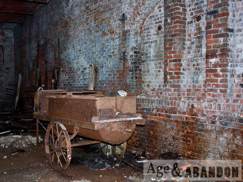
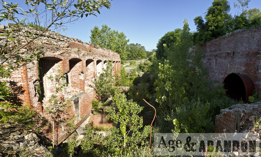
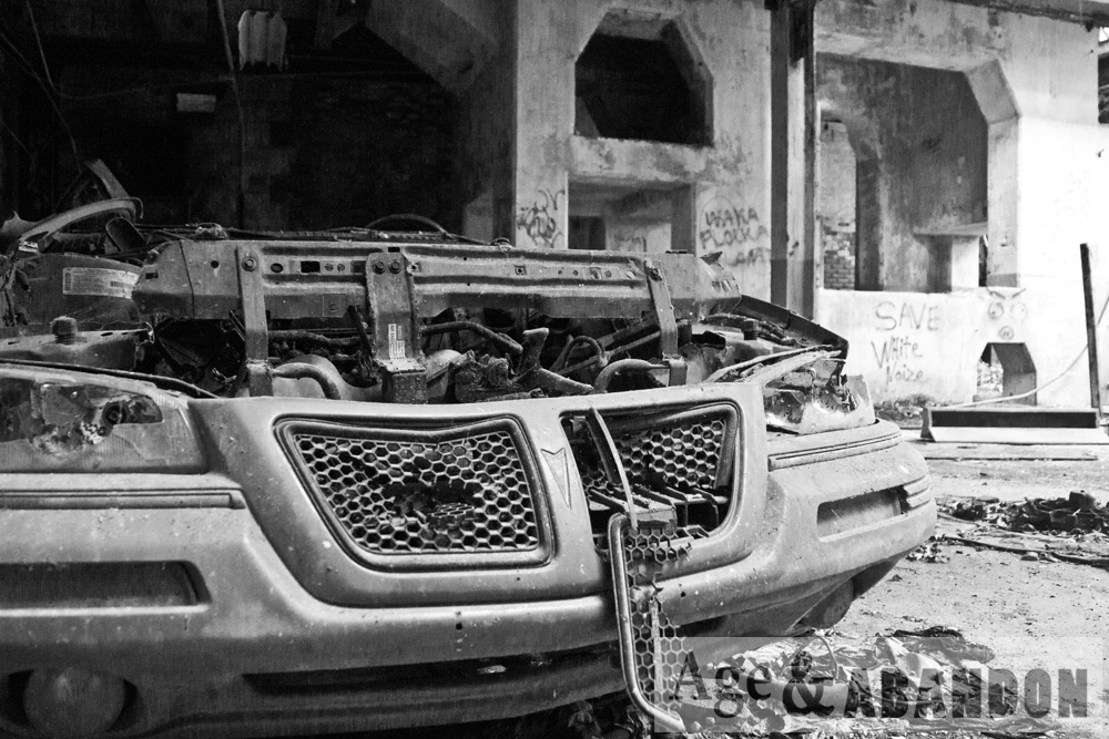
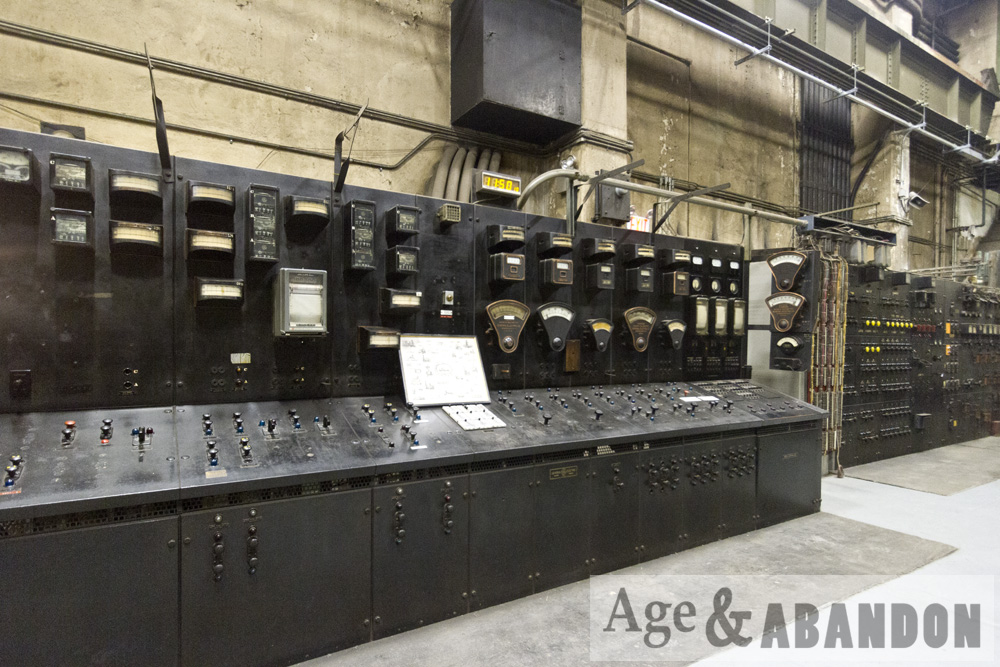
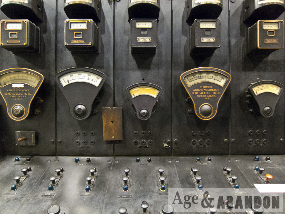
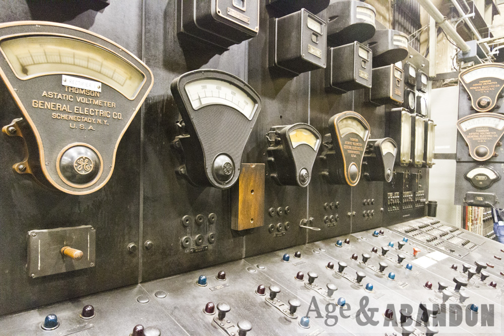
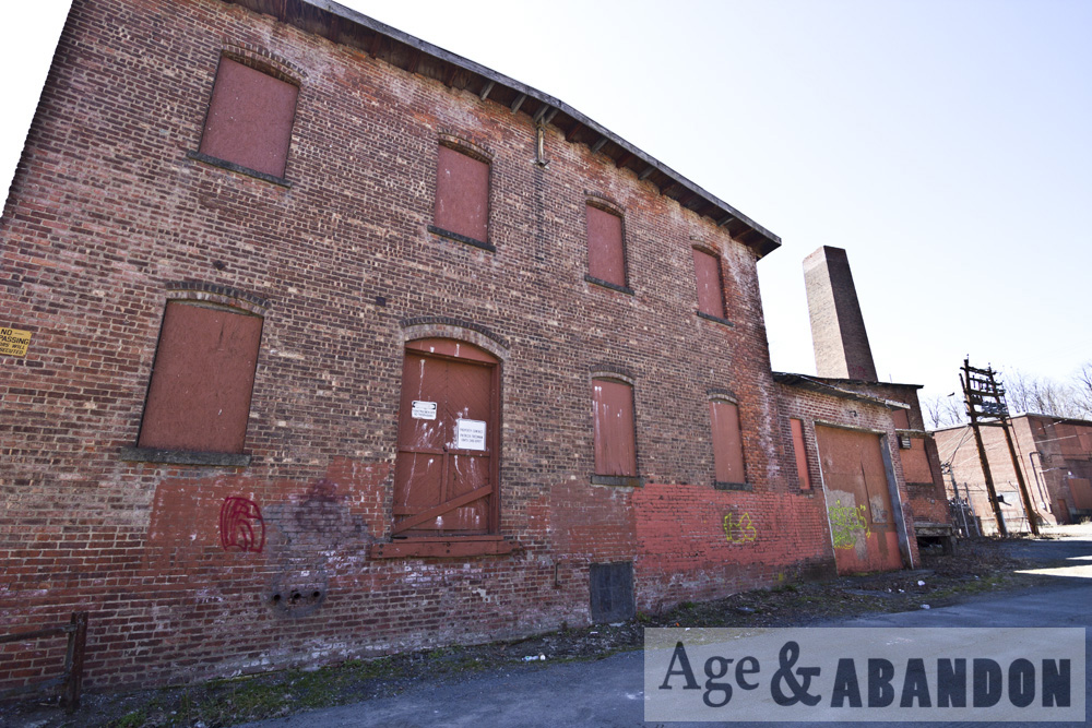
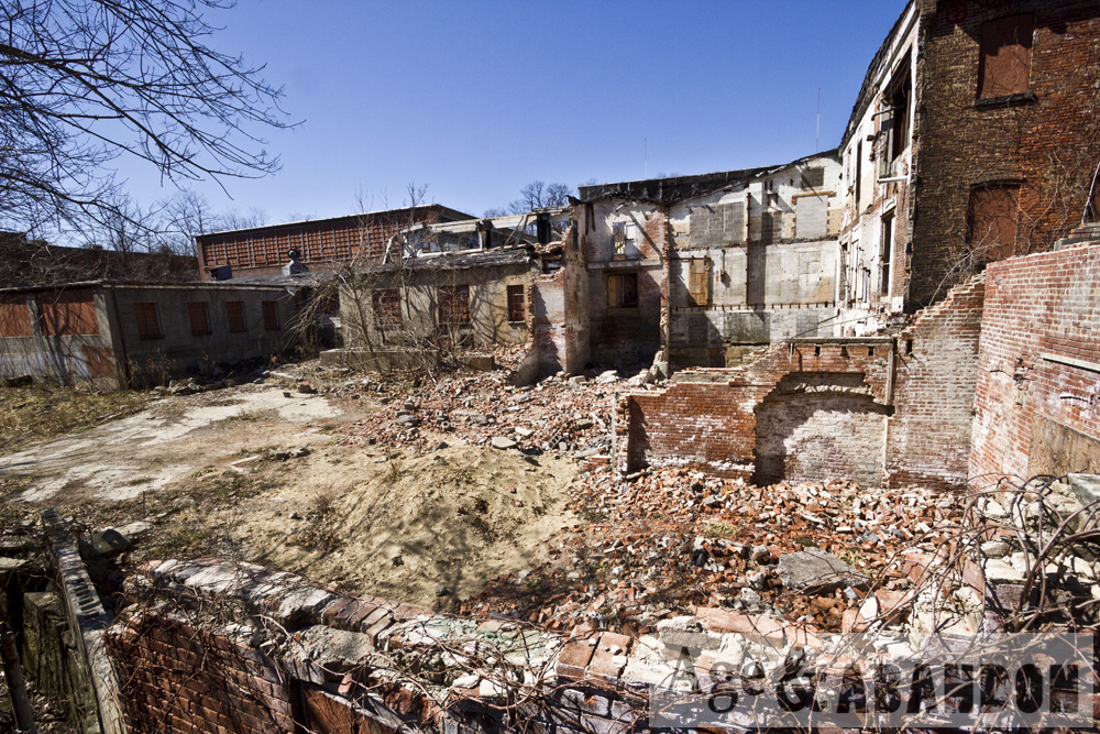
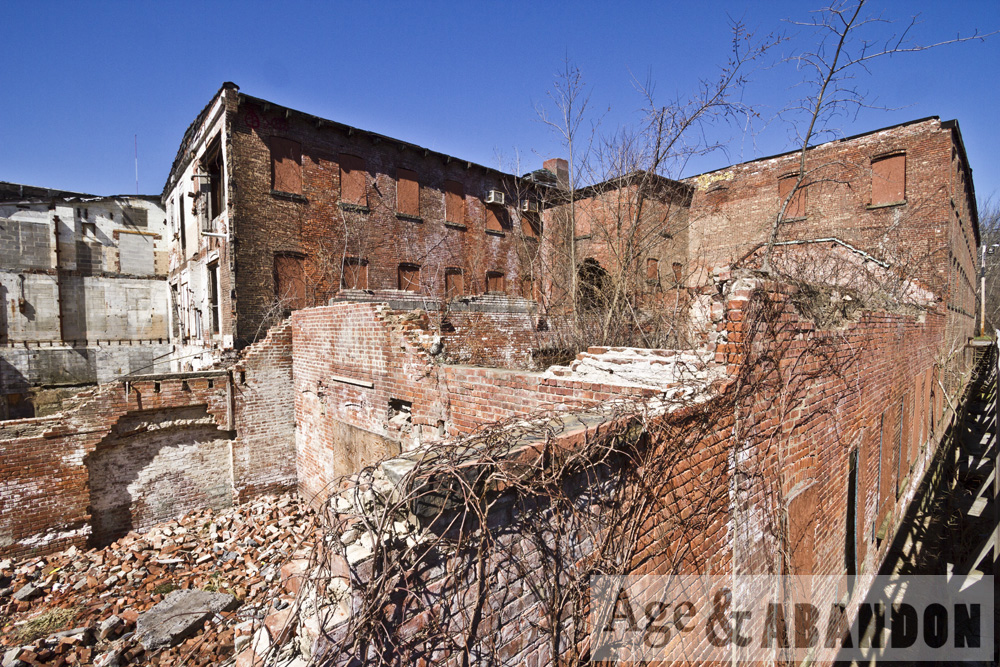
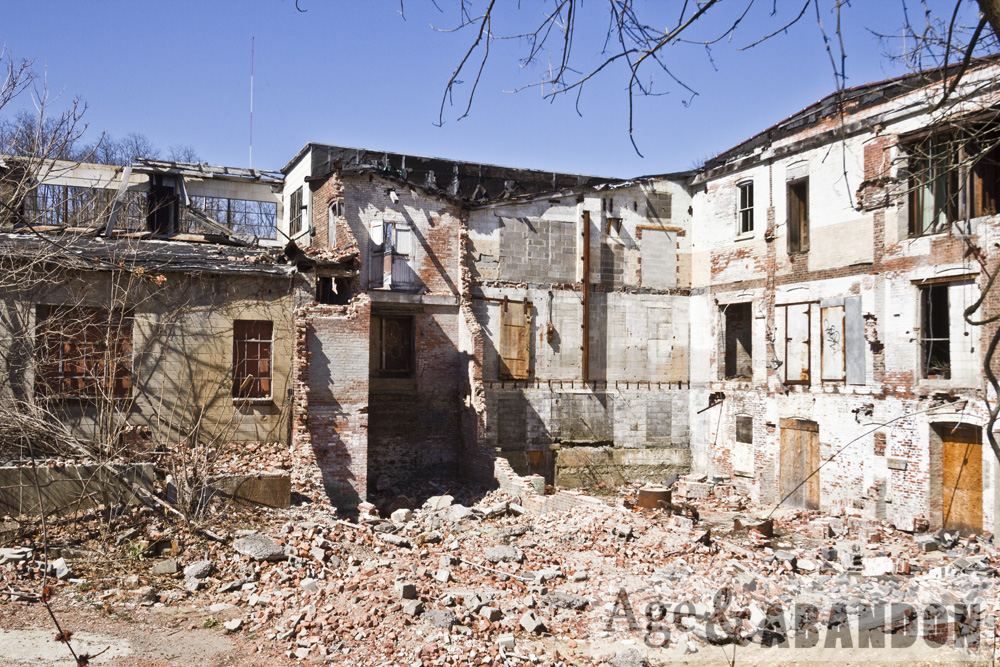
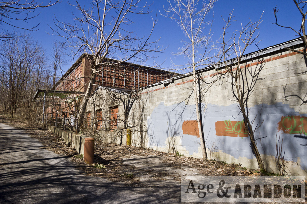
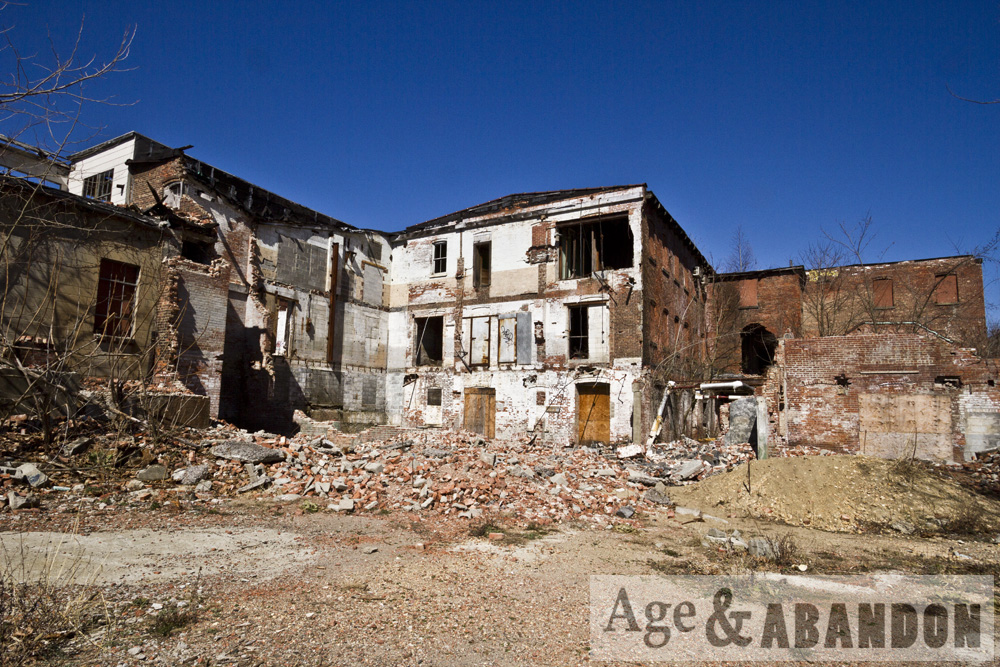
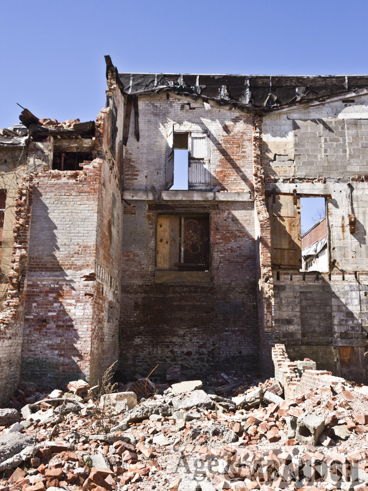
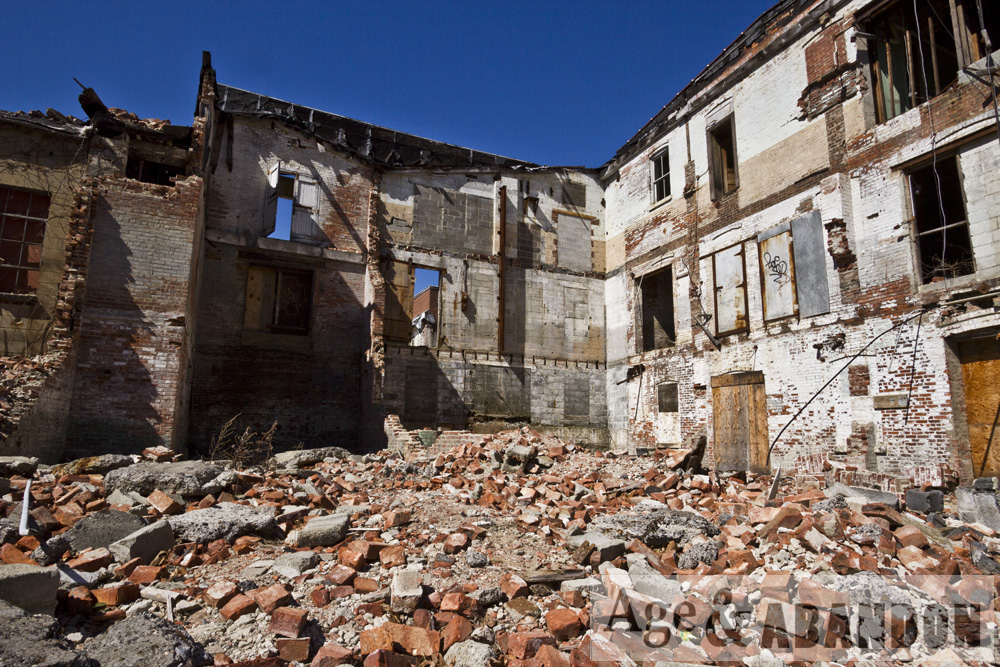
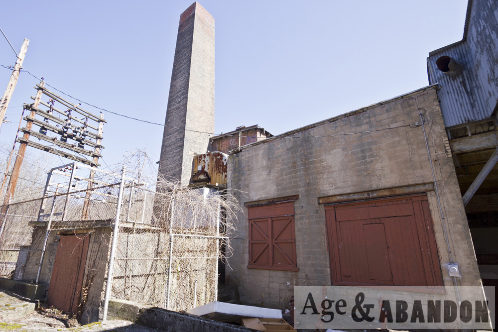
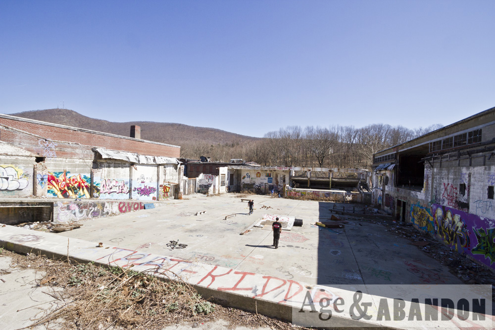
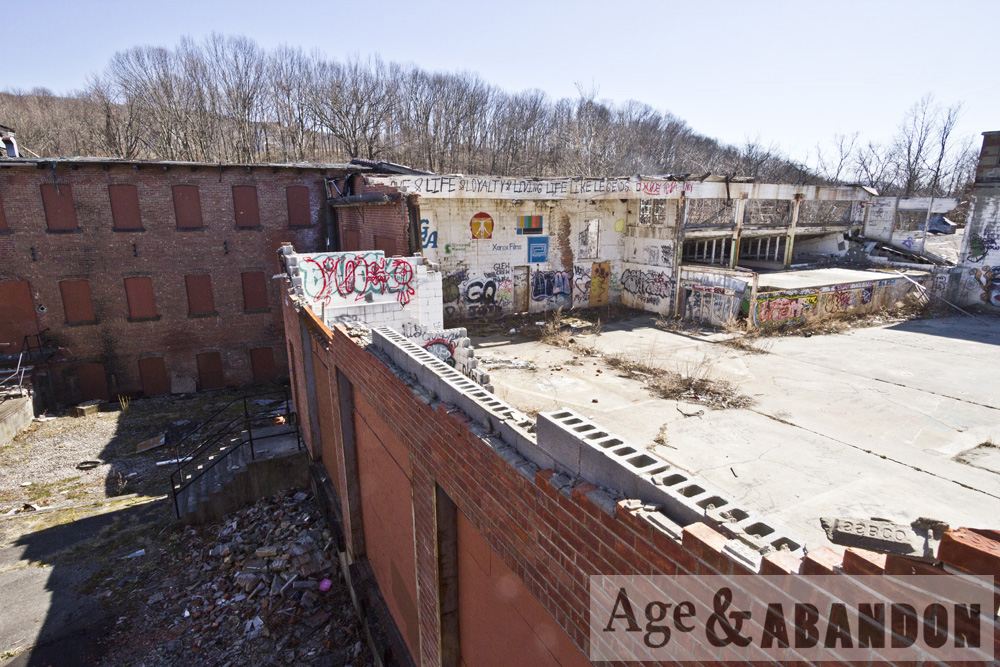
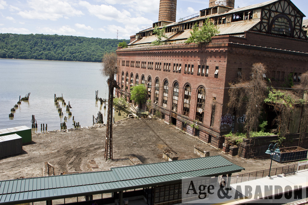
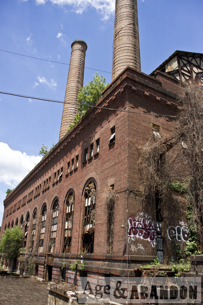
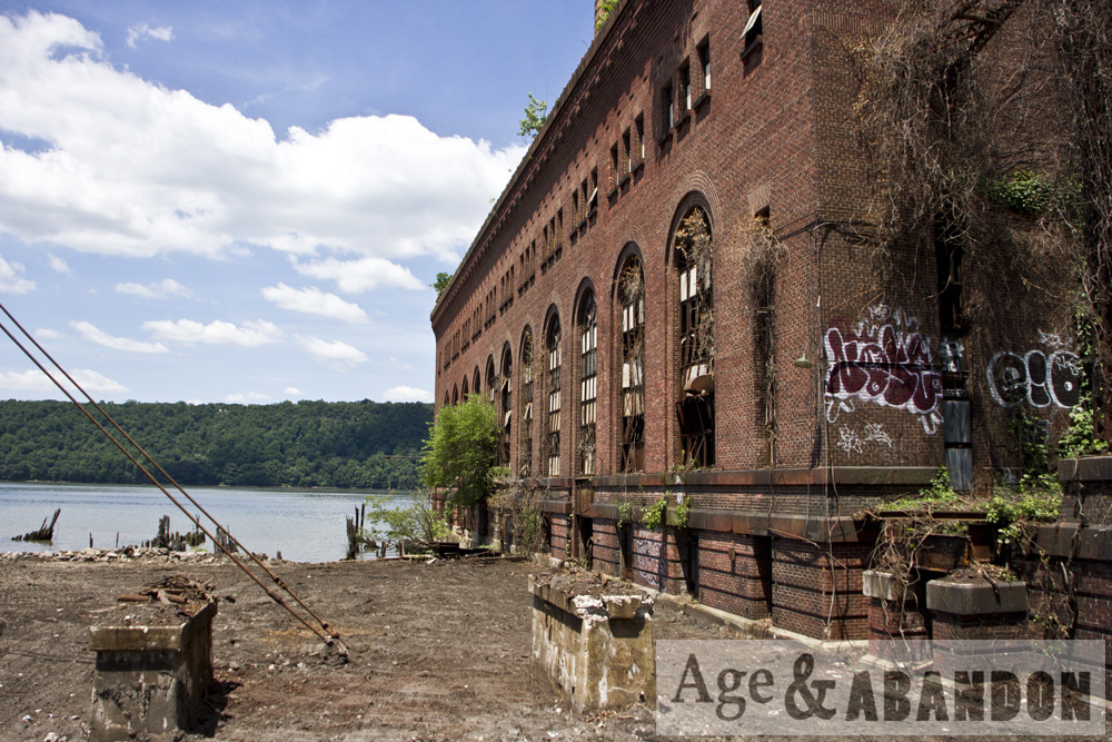
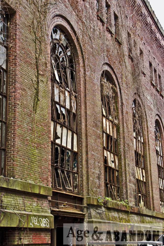
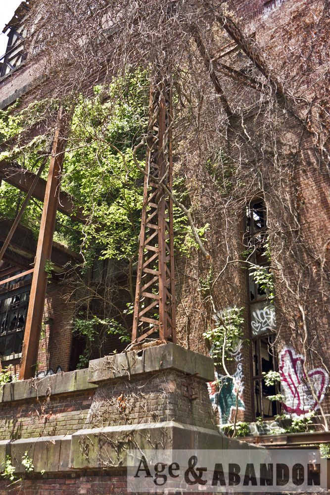
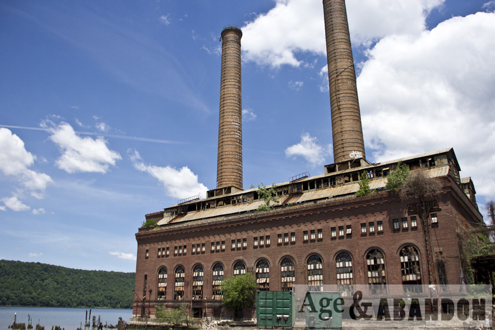
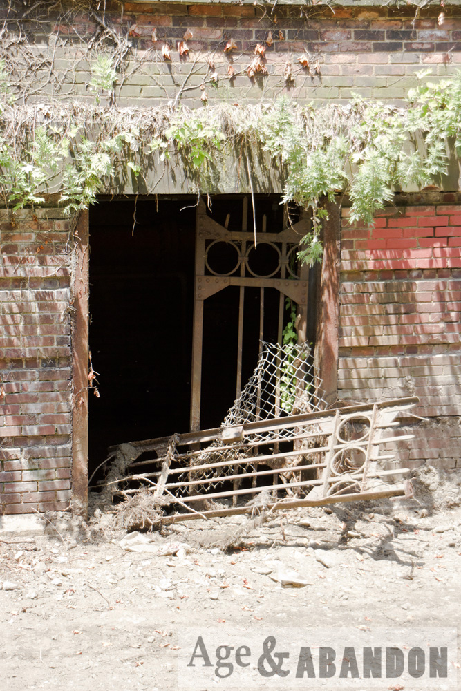
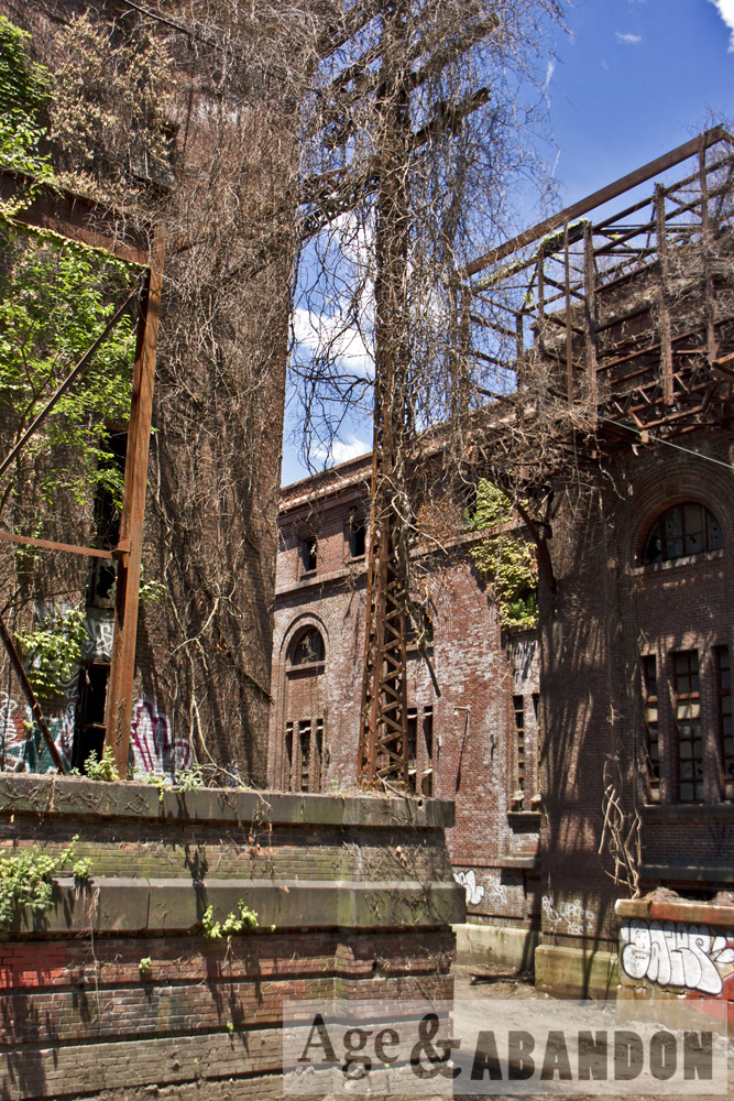
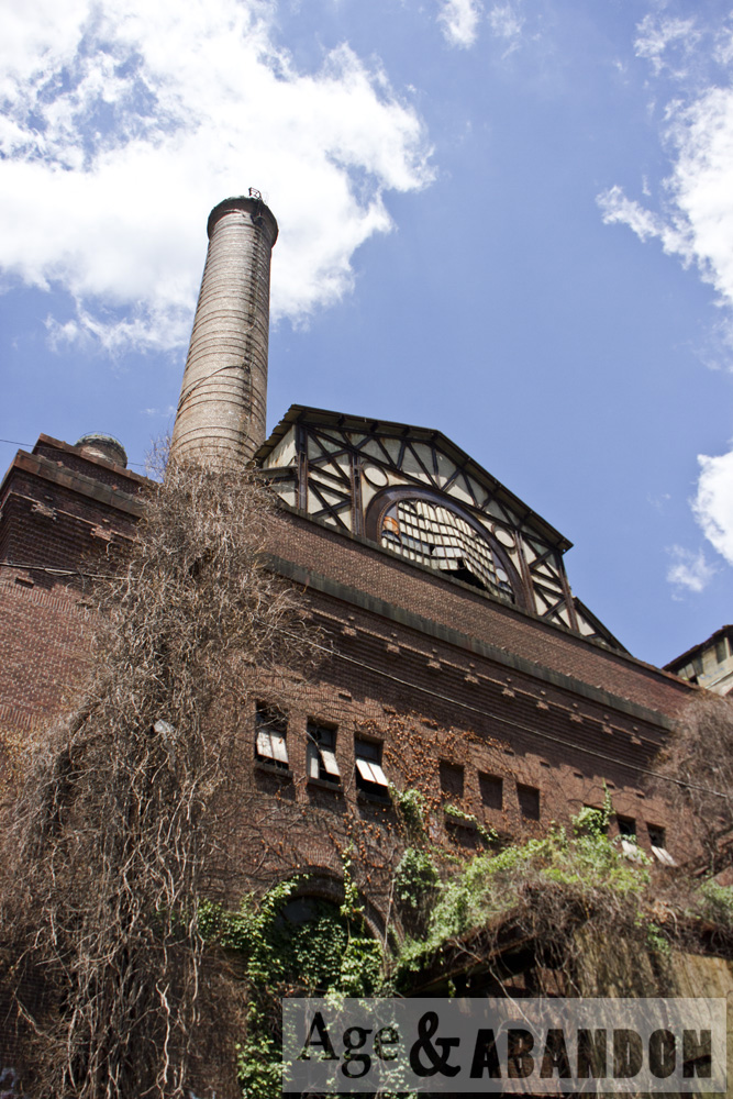
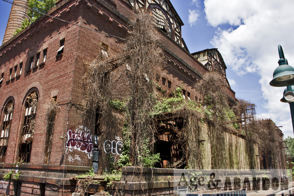
The “Piano Factory” building is located on North Water Street in Poughkeepsie, next to the Fallkill River.  Painted lettering on the façade names the building “Davis and Co. Piano Hammers”.  It was also previously part of the Innis Dye Works.  The building is now residential condos.

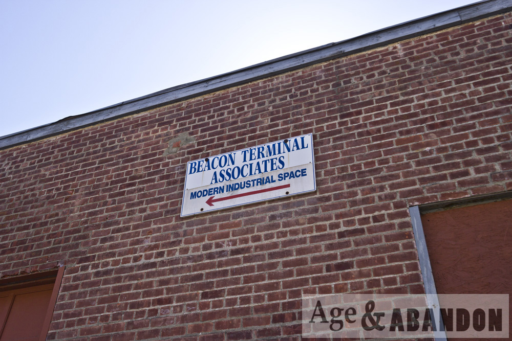
A 1980 building inventory form describes the following history:  “The building is shown on the 1887 Sanborn Map as part of “Innis and Company, Dye Works, Dye Stuffs, Extracts, Log Woods, Etc.” and was used for pulverizing and storage.  According to Platt, the Innis Company was founded by Aaron Innish prior to 1838, after which time his son, George, ran the company until 1898, ‘when the dye works industry was forced to give way to aniline dyes’. George Innis was a prominent citizen and was three times elected mayor in the 1860’s. By 1913, this edifice was a piano hammer factory, in 1934 the Poughkeepsie Dye Stuffs Corporation, and since 1935 has been used as a warehouse.”

Location:  Google Maps (41.708850, -73.938742)

Denning’s Point Ruins, Beacon, NY

These are photos of some ruins and a very abandoned brick factory building on Dennings Point in Beacon, NY.  The ruins that I found may be associated with the Denning family mansion, which was in ruins by the 1920s.  The Denning’s Point Brick Works was founded and operated on the property from 1881 to 1939.  Denning’s Point was also used by swimmers in the 1920s and 1930s and became known as the “Coney Island of Dutchess County.”  From 1947 to 1954 the site was operated by a manufacturer of construction panels called Durisol.  From 1954 and for 34 years thereafter, the The Noesting Pin Ticket Company operated on the site creating wire products.  In 1988 the property was purchased by New York State and became Denning’s Point State Park.  In 2006 the Beacon Institute for Rivers and Estuaries began renovation of one of the existing buildings to become the new home of the institute.

More information:  Denning’s Point History

Location:  Brick factory buildings- Google Maps (41.490538, -73.983473)

Former Texaco Beacon Research Center, Fishkill, NY

Texaco operated the Beacon Research Center in the Glenham hamlet, Fishkill, NY from 1931 to 2003. The center was a laboratory complex engaged in research, development, and technical services related to petroleum products and energy.  The site has a lot of environmental contamination, and so the site needs to be remediated.  Remediation included building removal, which apparently occurred between 2011 and 2012 and consisted of 64 buildings and structures.

These photos were taken of a small portion of the former center, along Old Glenham Road, in June 2015.

More information:  Property history

Location: Google Map (41.518867, -73.935990)

Poughkeepsie Underwear Factory, Poughkeepsie, NY

The Poughkeepsie Underwear Factory building is located on North Cherry Street just north of Main Street in Poughkeepsie, NY.  The building was built in 1874 and contained several operations throughout its existence.  Below is some history, taken from a Poughkeepsie Journal article:

The building was originally occupied by William S. Patten’s Poughkeepsie Live Oak Leather Manufactory.  Afterwards, it was transformed several times to accommodate a cooperage, a paper mill, and the Poughkeepsie Underwear Factory.

In 1887, when the factory was used by the Dutchess Manufacturing Co., the structure was expanded to almost double in size.

A barrel-manufacturing operation named William Paulding’s Cooperage moved into the building in 1895 and remained there until 1902.

In 1902, the building became the Poughkeepsie Underwear Factory.  This business operated until the 1920s.  After, a paper mill briefly occupied the building.

“The building boasts one of the earliest elevators to exist and it is still intact,” said Elizabeth Celaya, director of organizational development for Hudson River Housing Inc., which acquired the structure in May 2012.

Since these photos were taken, the building has been renovated as mixed-use space with two thirds consisting of apartments and one third planned as a commercial community hub, which was opened in 2017.

More information:  Poughkeepsie Journal article, Underwear Factory website

Location:  Google Maps (41.701587, -73.917948)

Glenwood Power Plant, Yonkers, NY

The Glenwood Power Plant (also known as the Yonkers Power Plant) was constructed circa 1904-06 and shut down circa 1963.  It sits next to the Glenwood railroad station.  The plant had sat abandoned for quite some time when I went to photograph it.  To my pleasant surprise on the day of my visit, we saw work being done to renovate/reuse the building!  I am unsure of its current status.

More information:  Goran Group (real estate developer)

Location: Google Maps