Rapallo and Lyman Viaducts, East Hampton and Colchester, CT

These are photos of the filled in railroad trestles of the Rapallo and Lyman Viaducts, part of the New Haven, Middletown and Willimantic Railroad’s line from New Haven to Willimantic, forming part of a more or less direct route between Boston and New York.  Here is some history of the two viaducts according to an informational sign along the trail:

The Rapallo Viaduct, located in East Hampton, was built in 1873 for two train tracks.  It was a 1,380 ft long bridge located 60 feet above Flat Brook but due to the increasing weight of freight trains, the viaduct was filled in underneath the tracks in 1913.

The Lyman Viaduct, located in Colchester, was also built in 1873 as a 1,108 foot long bridge located 137 feet over Dickinson’s Creek.  Due to the increasing weight of freight trains, the viaduct was filled in underneath the tracks in 1912-13.

Location:

Lewis Country Farms, LaGrange, NY (exterior photos)

Located at the intersection of Overlook Road and DeGarmo Road in LaGrange, NY, Lewis Country Farms was a local lawn & garden center.  The original structure apparently dates to the 1840s.  A historic building inventory form from 1986 identifies the site as the Ayrault Place and built in the mid-to-late 1800s and mid-1900s.  Bill Lewis opened the business as Lewis Country Farms in 1989 and it closed in the 2000s.

These photos were taken over several visits during different seasons, and are just of the exterior.  Photos of the interior can be found here.  Work has begun to clean up the site and turn it into luxury apartments.

Also photographed is a building identified as the Lewis Landscaping located about a mile away.  As far as I know, the business is not still operating.

More information:  Building Inventory Form

Location:

Ponce de Leon Lighthouse, Ponce Inlet, FL

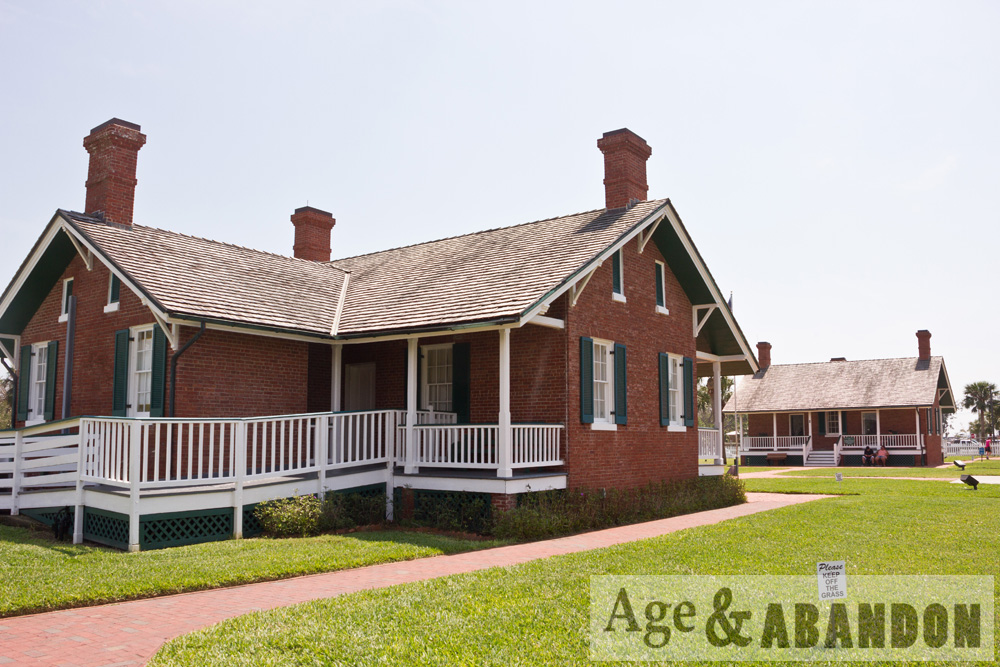
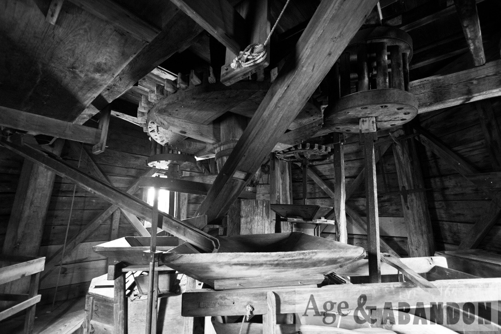
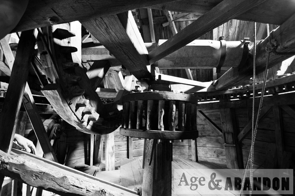
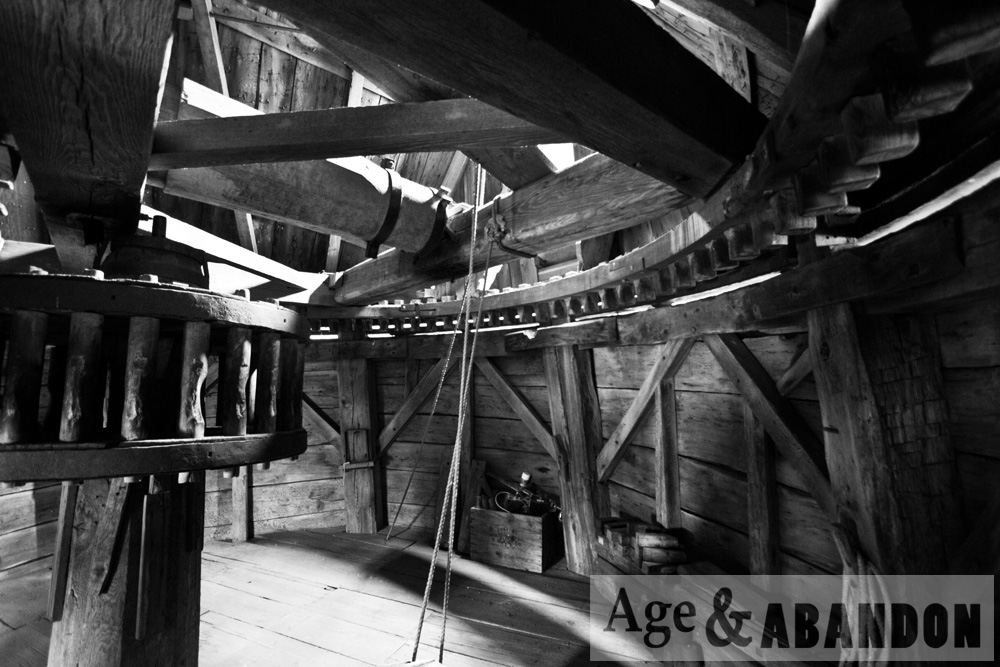
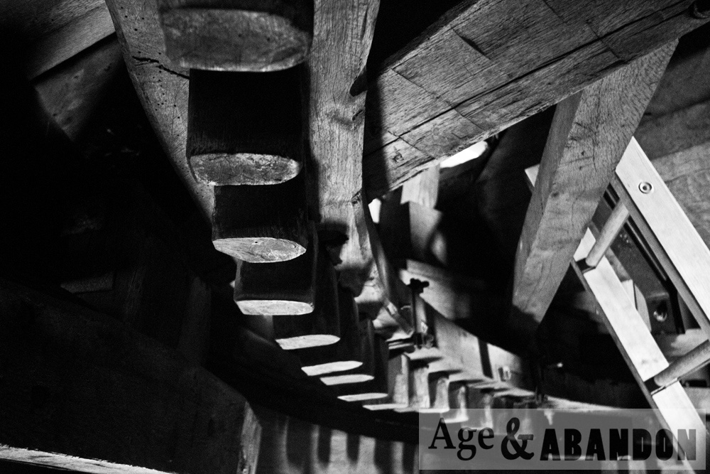
Here is some history of the lighthouse, taken from their website:

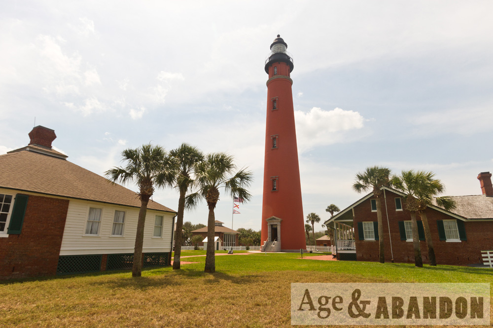
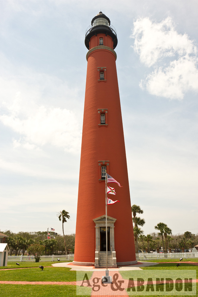
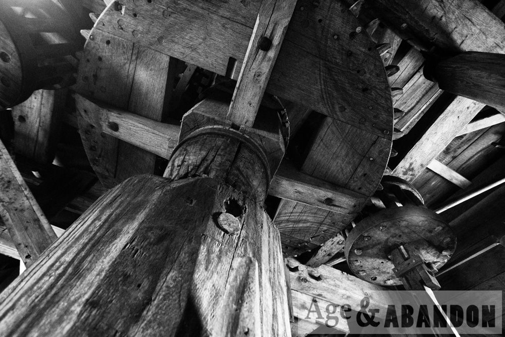
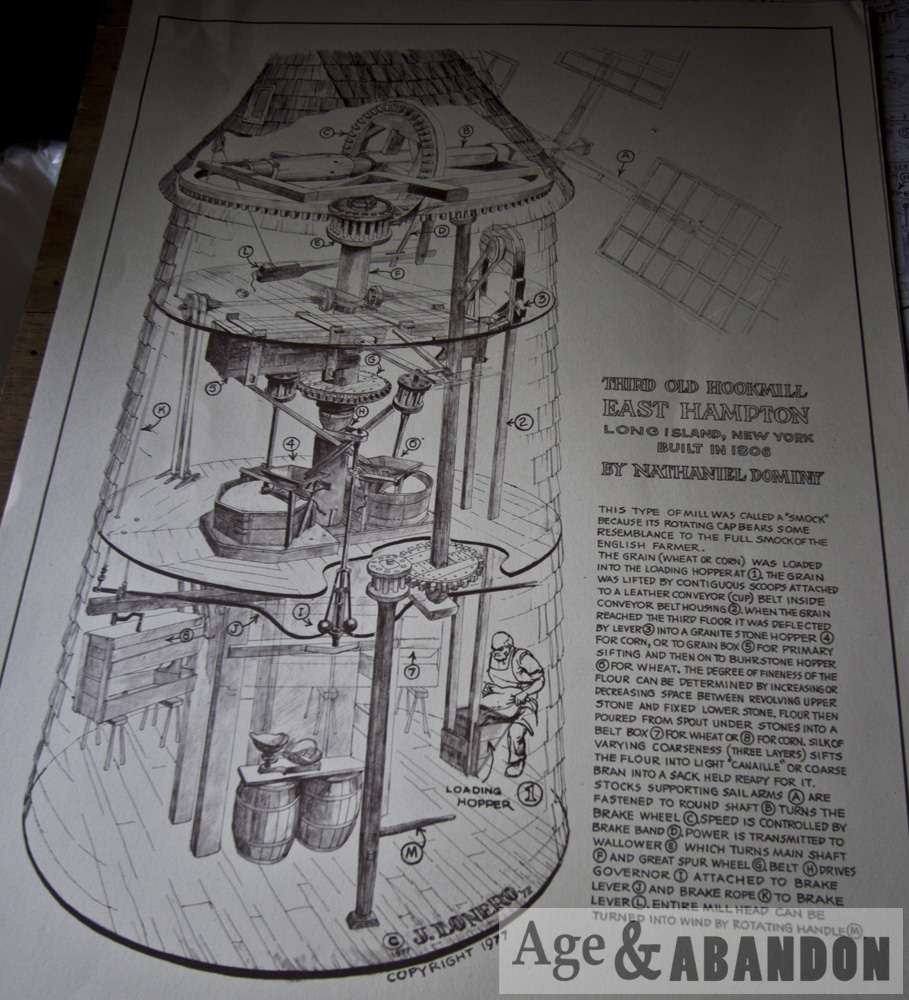
The Ponce de Leon Inlet Lighthouse began as the Mosquito Inlet Lighthouse with the purchase of ten acres of land on March 21, 1883.  Construction occurred from 1884 to 1887.  The tower was lit with a kerosene lamp in a first order fixed Fresnel lens.  In August 1933, the tower light was electrified with a 500 watt electric lamp and the original first order fixed lens was replaced by a third-order revolving, flashing lens.  In late 1953, the lighthouse was completely automated.

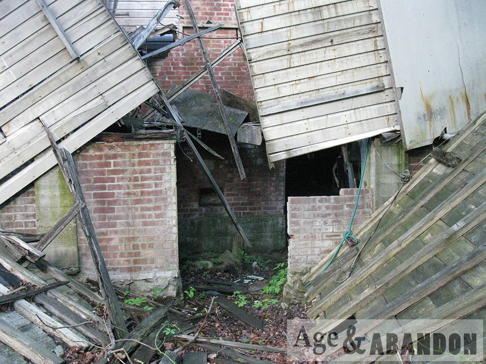
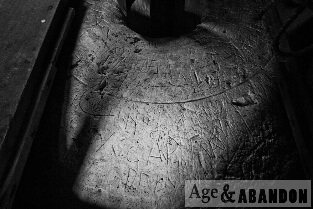
In 1970, the Coast Guard abandoned the old Light Station and established a new light at the Coast Guard Station on the south side of the Inlet. Vandals did much damage to the Light Station, but two years later as the result of work by concerned citizens,, the abandoned property was deeded to the Town of Ponce Inlet.

In 1972, the Ponce de Leon Inlet Lighthouse Preservation Association was founded as a non-profit, organization to restore and operate the property as a museum.  Through the efforts of the dedicated volunteers of the Preservation Association, the damage done by vandals was reversed and full restoration was begun.  The Ponce de Leon Inlet Lighthouse is now listed as an operational private aid to navigation.

More information:  Lighthouse website

Location:  Google Maps (29.080629, -80.928045)

Denning’s Point Ruins, Beacon, NY

These are photos of some ruins and a very abandoned brick factory building on Dennings Point in Beacon, NY.  The ruins that I found may be associated with the Denning family mansion, which was in ruins by the 1920s.  The Denning’s Point Brick Works was founded and operated on the property from 1881 to 1939.  Denning’s Point was also used by swimmers in the 1920s and 1930s and became known as the “Coney Island of Dutchess County.”  From 1947 to 1954 the site was operated by a manufacturer of construction panels called Durisol.  From 1954 and for 34 years thereafter, the The Noesting Pin Ticket Company operated on the site creating wire products.  In 1988 the property was purchased by New York State and became Denning’s Point State Park.  In 2006 the Beacon Institute for Rivers and Estuaries began renovation of one of the existing buildings to become the new home of the institute.

More information:  Denning’s Point History

Location:  Brick factory buildings- Google Maps (41.490538, -73.983473)

Former Texaco Beacon Research Center, Fishkill, NY

Texaco operated the Beacon Research Center in the Glenham hamlet, Fishkill, NY from 1931 to 2003. The center was a laboratory complex engaged in research, development, and technical services related to petroleum products and energy.  The site has a lot of environmental contamination, and so the site needs to be remediated.  Remediation included building removal, which apparently occurred between 2011 and 2012 and consisted of 64 buildings and structures.

These photos were taken of a small portion of the former center, along Old Glenham Road, in June 2015.

More information:  Property history

Location: Google Map (41.518867, -73.935990)

Vacant Land, Poughkeepsie, NY

This formerly-developed property is located along Albany Post Road/South Road/Route 9 where it intersects with Old post Road, just north of the Poughkeepsie Galleria mall.  Remnants of its previous usage are present, including road beds and some paved areas, but little remains of any structures.  Historic aerial photos show houses were located along the road from the 1950s to the 1980s.

More information:  Historic aerial photos

Location:  Google Maps (41.629624, -73.917273)